Ash Plantation
Wood, Forest in Norfolk South Norfolk
England
Ash Plantation
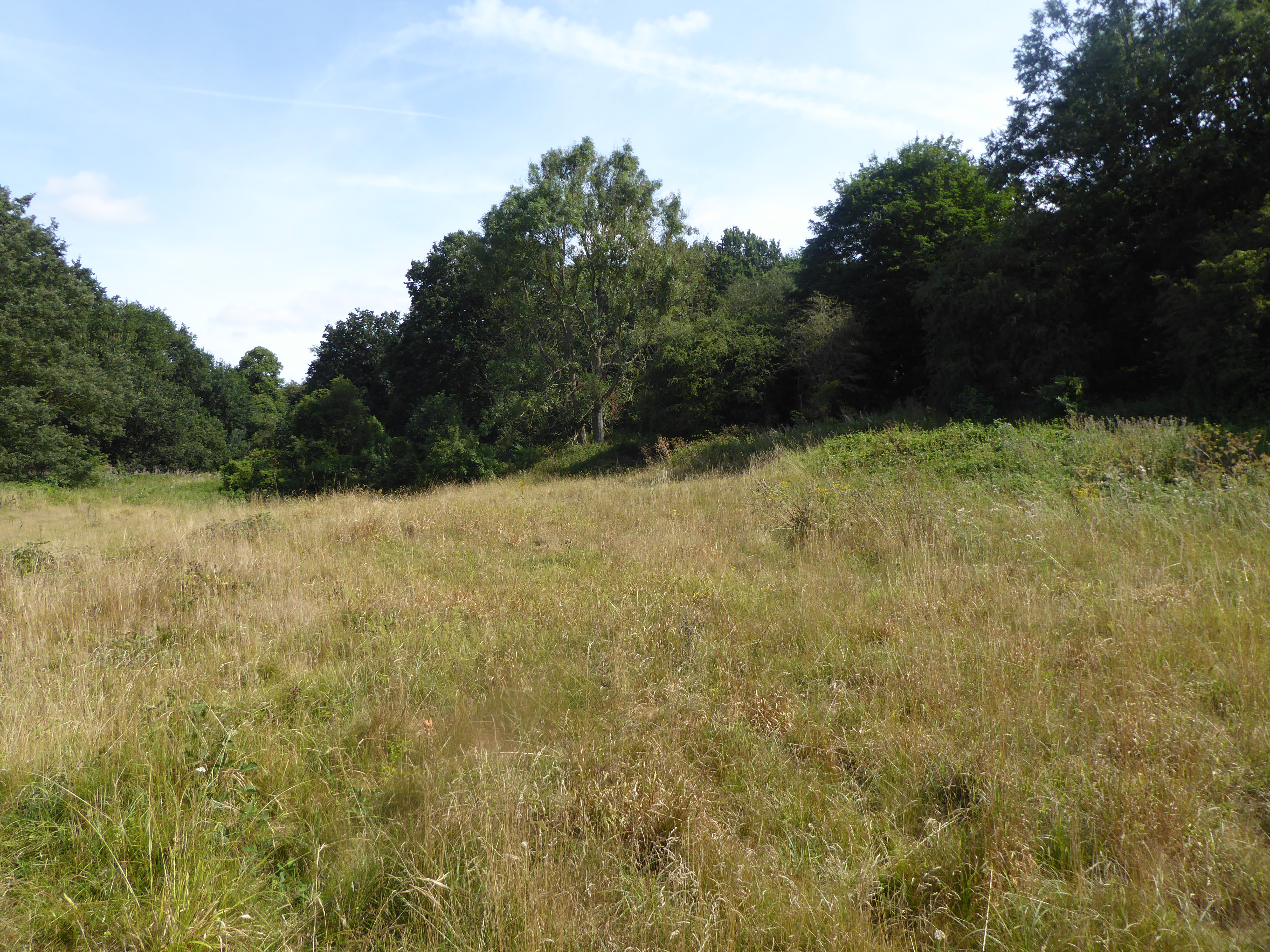
Ash Plantation is a picturesque woodland area located in Norfolk, a county in the east of England. Situated near the village of Ashwellthorpe, the plantation spans approximately 100 acres and is known for its beautiful ash trees, after which it is named. The forest is a popular destination for nature enthusiasts and offers a tranquil retreat from the bustle of urban life.
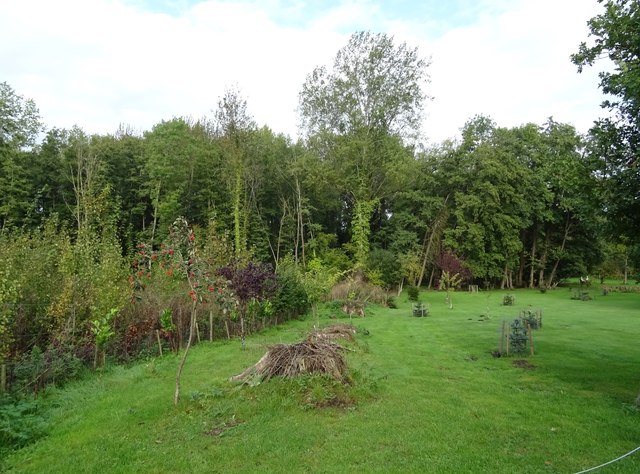
The woodland is primarily composed of mature ash trees, which provide a dense canopy that filters sunlight and creates a shaded, cool atmosphere throughout the plantation. This makes it an ideal spot for walking, hiking, and birdwatching. The diverse range of bird species found in Ash Plantation include woodpeckers, owls, and various songbirds, making it a haven for birdwatchers.
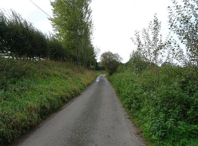
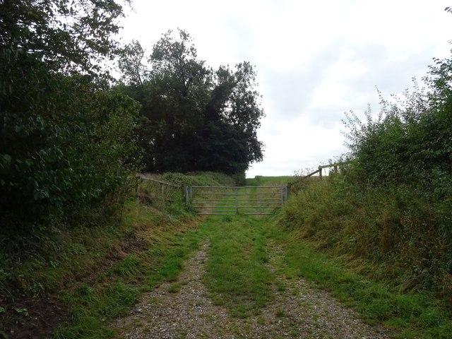
The forest floor is adorned with a rich variety of flora, such as bluebells, primroses, and wild garlic, which add a burst of color to the woodland during the spring and summer months. The plantation also features a network of well-maintained footpaths and trails, allowing visitors to explore the area at their own pace.
Ash Plantation is managed by local authorities who ensure the preservation of its natural beauty and ecology. The woodland is a designated Site of Special Scientific Interest (SSSI), recognizing its importance in terms of biodiversity and ecological value. Consequently, certain areas may be restricted to protect sensitive habitats and wildlife.
Overall, Ash Plantation offers a peaceful and scenic escape for those seeking solace in nature. With its ancient ash trees, diverse wildlife, and stunning flora, it is a treasured natural gem in the Norfolk countryside.
If you have any feedback on the listing, please let us know in the comments section below.
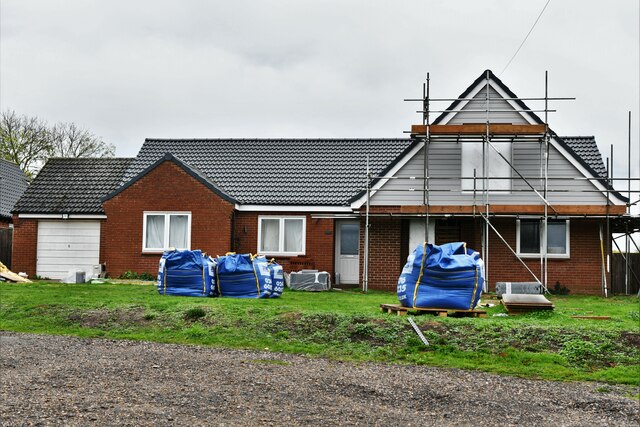
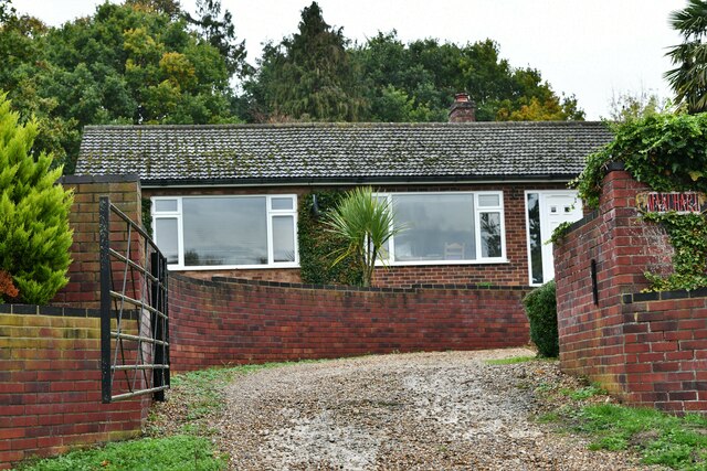
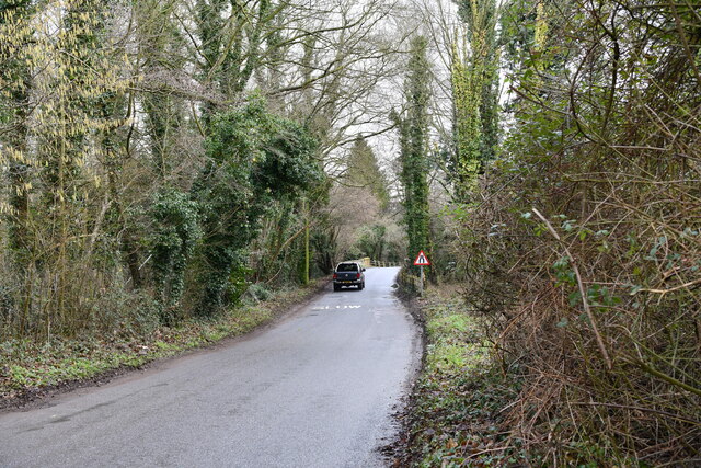
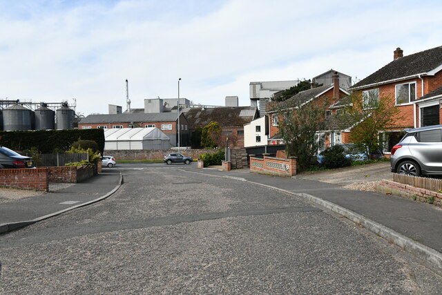
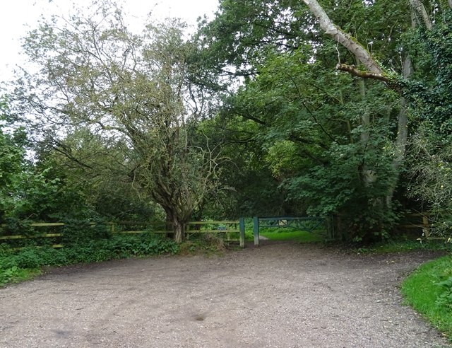
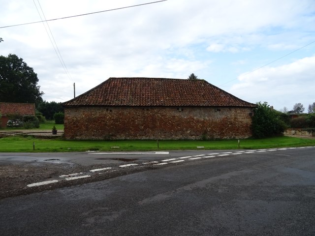
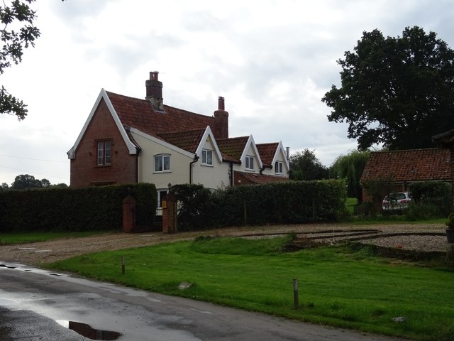
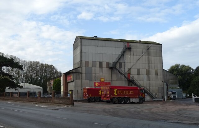
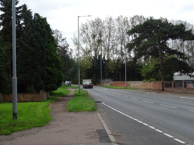
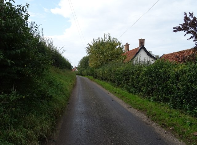
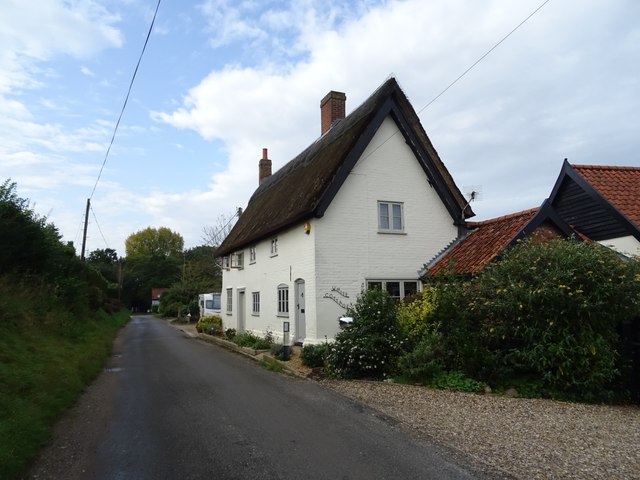
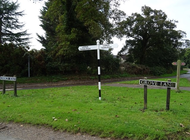
Ash Plantation Images
Images are sourced within 2km of 52.533951/1.2483648 or Grid Reference TM2097. Thanks to Geograph Open Source API. All images are credited.


Ash Plantation is located at Grid Ref: TM2097 (Lat: 52.533951, Lng: 1.2483648)
Administrative County: Norfolk
District: South Norfolk
Police Authority: Norfolk
What 3 Words
///refills.starred.slime. Near Mulbarton, Norfolk
Nearby Locations
Related Wikis

Newton Flotman
Newton Flotman, meaning new farm or settlement, is a village and civil parish in the English county of Norfolk, lies about 7 miles (11 km) south of Norwich...

Flordon railway station
Flordon railway station served the village of Flordon, Norfolk. It was opened in 1849, when the line from London Liverpool Street to Norwich Victoria was...
Smockmill Common
Smockmill Common is a 10-hectare (25-acre) Local Nature Reserve on the eastern outskirts of Newton Flotman in Norfolk. It is owned by the Shotesham Estate...

Flordon
Flordon is a village and civil parish in the English county of Norfolk. The village is located 5.4 miles (8.7 km) south-east of Wymondham and 7.6 miles...
Nearby Amenities
Located within 500m of 52.533951,1.2483648Have you been to Ash Plantation?
Leave your review of Ash Plantation below (or comments, questions and feedback).