West Belt
Wood, Forest in Norfolk South Norfolk
England
West Belt
West Belt, Norfolk (Wood, Forest) is a charming residential neighborhood located in Norfolk, Virginia, United States. Situated on the western side of the city, this community offers a peaceful and serene environment with an abundance of natural beauty.
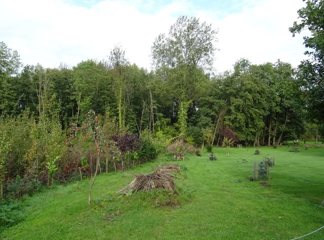
The neighborhood is primarily known for its lush woodlands and picturesque forests, making it a haven for nature enthusiasts. The area is filled with towering trees, providing ample shade and creating a tranquil atmosphere. Residents can enjoy scenic walks, hikes, and bike rides along the numerous trails that wind through the woods.
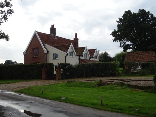
West Belt is a well-established community, with a mix of single-family homes and townhouses. The architecture reflects a variety of styles, incorporating both traditional and modern designs. The properties are well-maintained, and many feature spacious yards and well-manicured gardens.
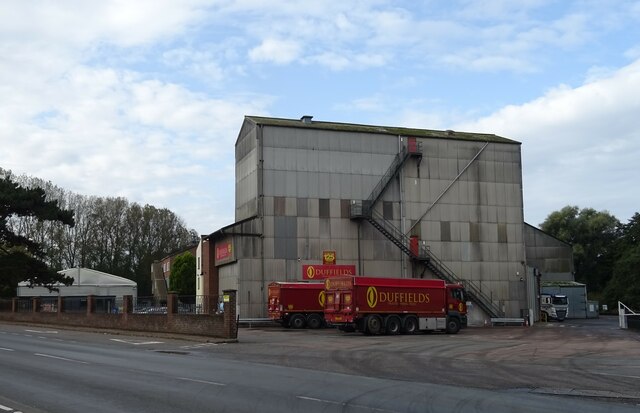
The neighborhood is conveniently located near several amenities. Residents have easy access to shopping centers, restaurants, and entertainment options just a short drive away. The nearby schools are highly regarded, making West Belt an attractive option for families with children.
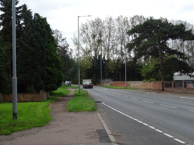
The community also benefits from its proximity to major transportation routes, including highways and public transportation. This allows residents to easily commute to other parts of Norfolk and the surrounding areas.
Overall, West Belt, Norfolk (Wood, Forest) offers a tranquil and picturesque living experience, with its beautiful woodlands, well-kept properties, and convenient location. It is a highly desirable neighborhood for those seeking a quiet retreat while still enjoying the amenities of city living.
If you have any feedback on the listing, please let us know in the comments section below.
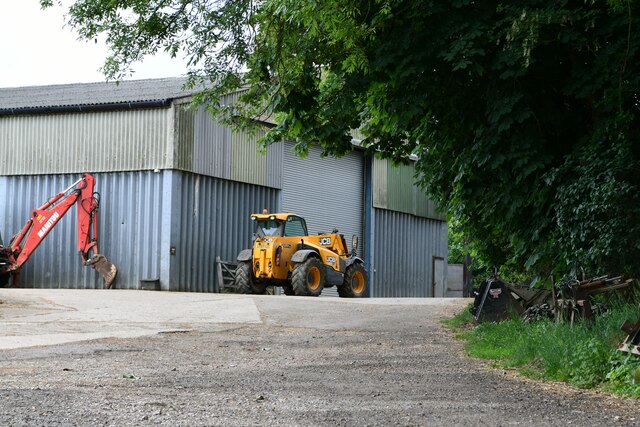
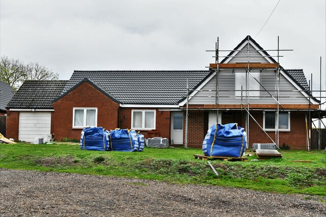
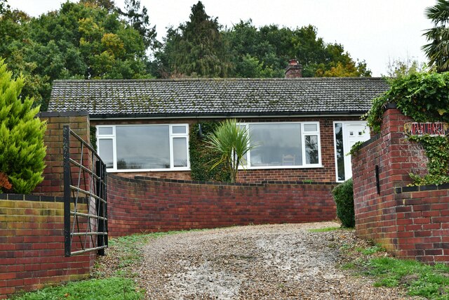
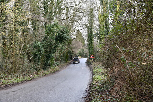
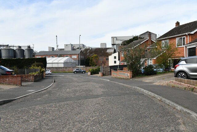
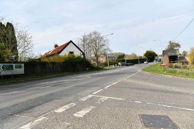
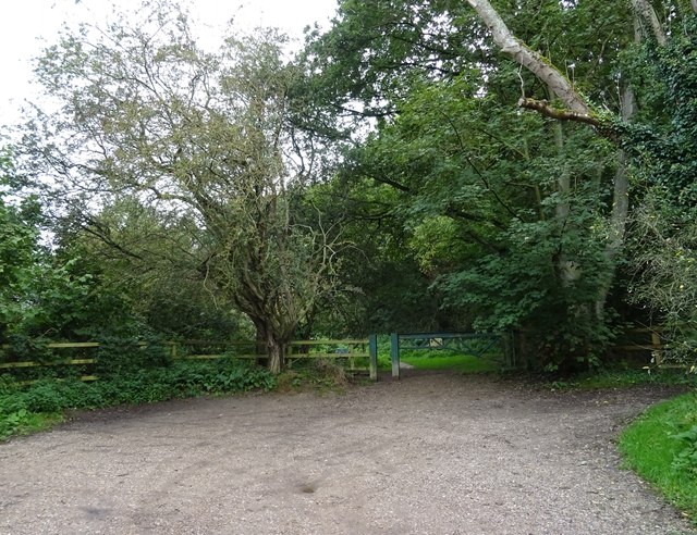
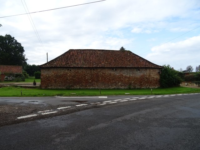
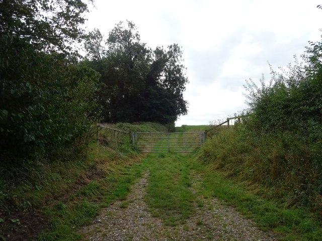
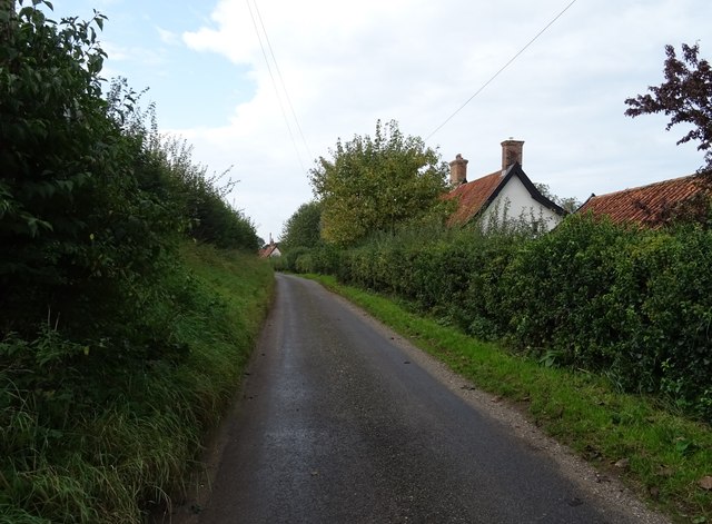
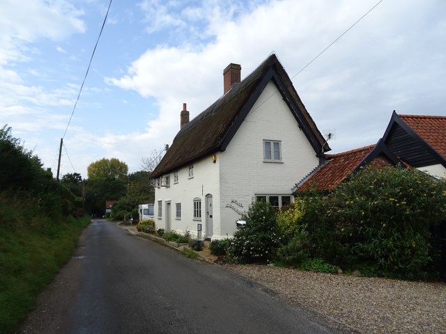
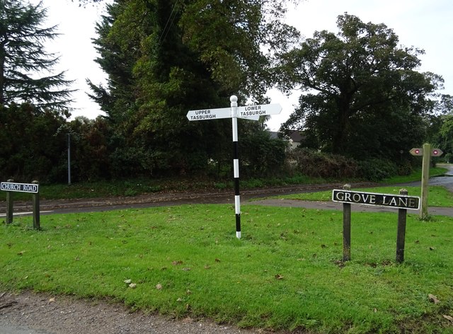
West Belt Images
Images are sourced within 2km of 52.529628/1.2423532 or Grid Reference TM2097. Thanks to Geograph Open Source API. All images are credited.
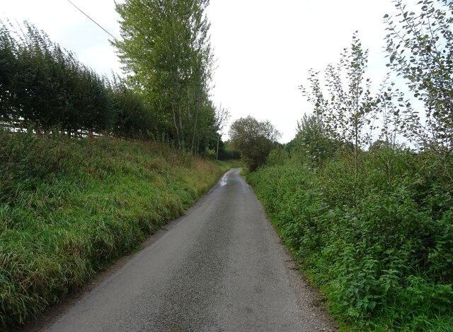

West Belt is located at Grid Ref: TM2097 (Lat: 52.529628, Lng: 1.2423532)
Administrative County: Norfolk
District: South Norfolk
Police Authority: Norfolk
What 3 Words
///butterfly.upon.spooned. Near Mulbarton, Norfolk
Nearby Locations
Related Wikis

Flordon railway station
Flordon railway station served the village of Flordon, Norfolk. It was opened in 1849, when the line from London Liverpool Street to Norwich Victoria was...

Flordon
Flordon is a village and civil parish in the English county of Norfolk. The village is located 5.4 miles (8.7 km) south-east of Wymondham and 7.6 miles...

Newton Flotman
Newton Flotman, meaning new farm or settlement, is a village and civil parish in the English county of Norfolk, lies about 7 miles (11 km) south of Norwich...

A140 road
The A140 is an 'A-class' road in Norfolk and Suffolk, East Anglia, England partly following the route of the Roman Pye Road. It runs from the A14 near...
Nearby Amenities
Located within 500m of 52.529628,1.2423532Have you been to West Belt?
Leave your review of West Belt below (or comments, questions and feedback).