Hewitt's Plantation
Wood, Forest in Norfolk South Norfolk
England
Hewitt's Plantation
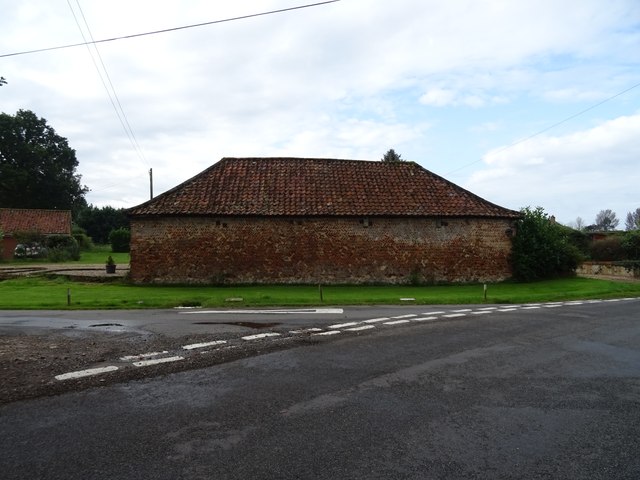
Hewitt's Plantation, located in Norfolk, Virginia, is a historical landmark that dates back to the 18th century. Situated amidst vast woodlands and forests, the plantation covers a significant area of land and is renowned for its natural beauty and historical significance.
Originally owned by the Hewitt family, the plantation served as a hub for agricultural activities during the colonial era. The fertile soil and favorable climate in the region made it an ideal location for cultivating crops such as tobacco, corn, and cotton.
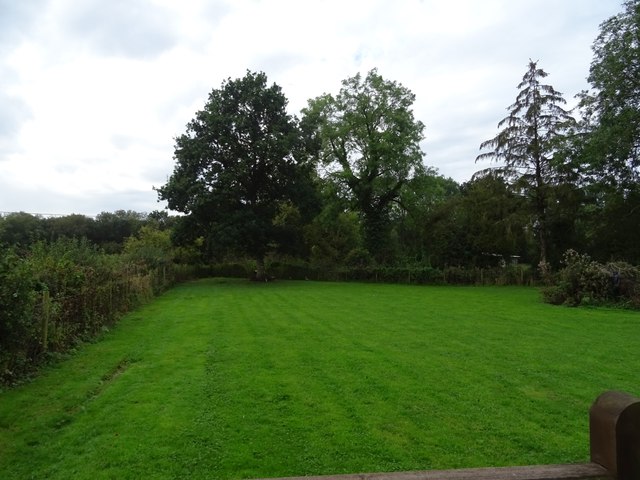
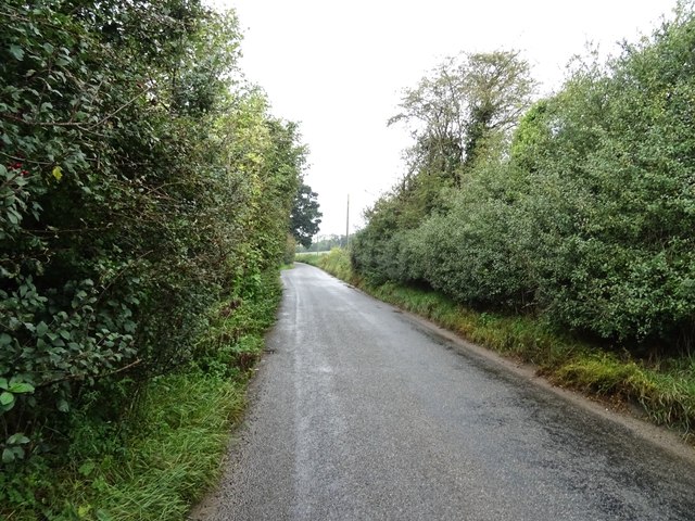
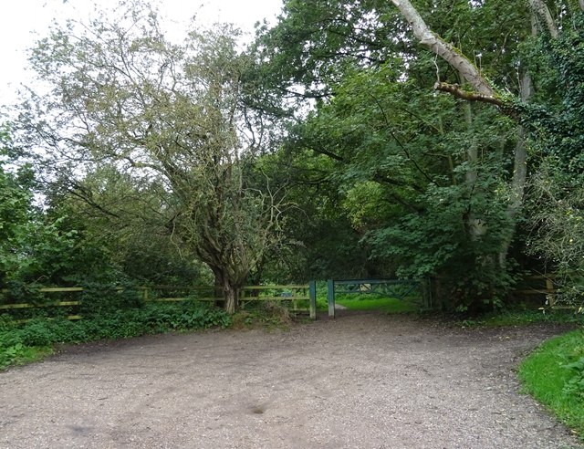
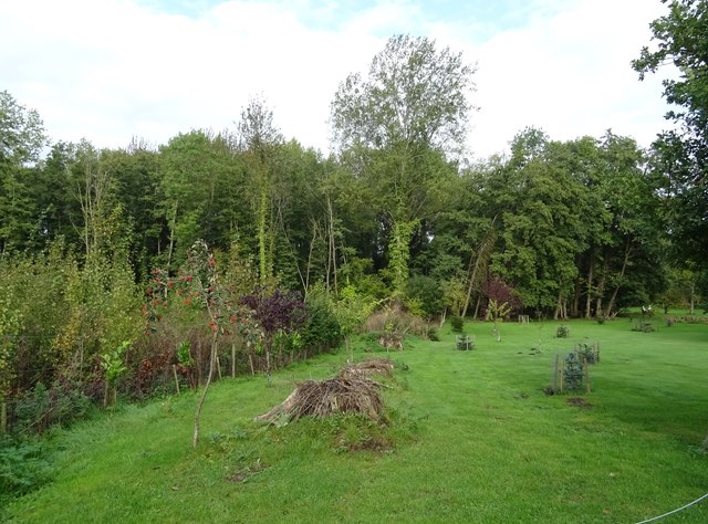
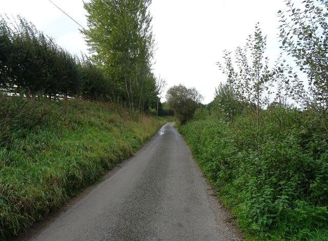
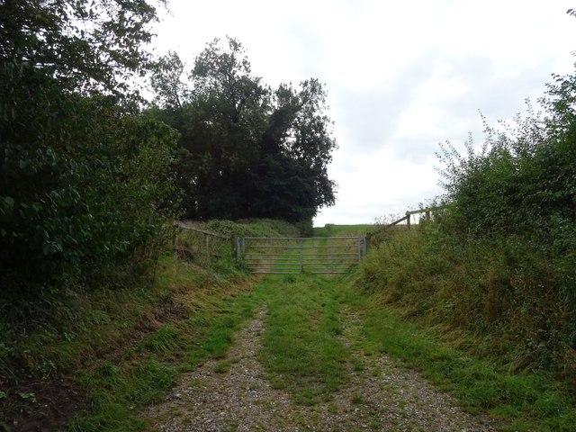
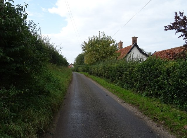
The plantation features a wide array of flora and fauna, with dense forests surrounding the property. The forested areas are home to various species of trees, including oak, pine, and hickory, creating a diverse and vibrant ecosystem. The woodlands also provide habitat to numerous wildlife species, including deer, foxes, and various bird species.
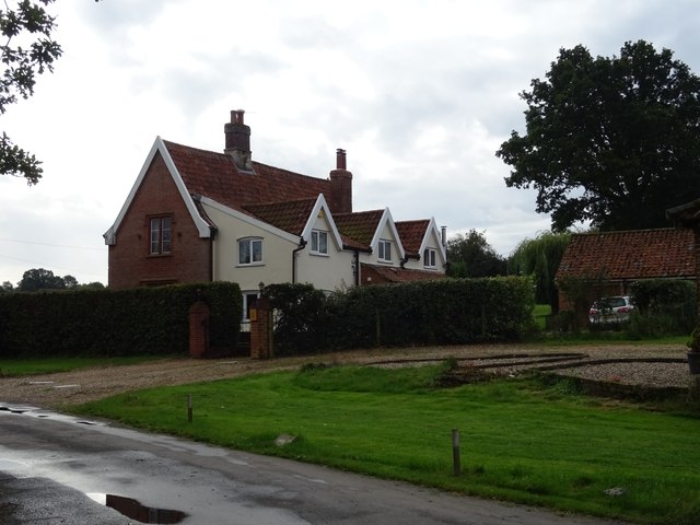
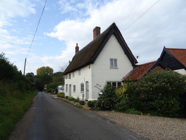
Over the years, Hewitt's Plantation has undergone several transformations. Today, it stands as a testament to the historical significance of the region, showcasing the architectural style of the colonial era. The main plantation house, constructed with sturdy brick and adorned with elegant Georgian-style elements, serves as a focal point for visitors exploring the property.
Visitors to Hewitt's Plantation can experience a captivating glimpse into the past, with guided tours providing insights into the plantation's history, the lives of the people who lived and worked there, and the overall significance it held within the community. The plantation offers a serene and picturesque setting, allowing visitors to immerse themselves in the natural beauty and rich history of this remarkable Norfolk landmark.
If you have any feedback on the listing, please let us know in the comments section below.
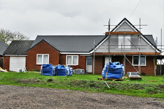
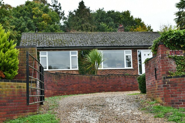
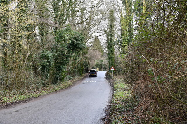
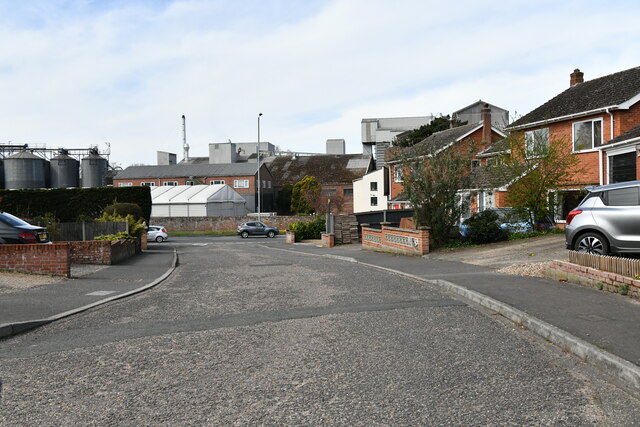
Hewitt's Plantation Images
Images are sourced within 2km of 52.532244/1.2512472 or Grid Reference TM2097. Thanks to Geograph Open Source API. All images are credited.

Hewitt's Plantation is located at Grid Ref: TM2097 (Lat: 52.532244, Lng: 1.2512472)
Administrative County: Norfolk
District: South Norfolk
Police Authority: Norfolk
What 3 Words
///stint.army.directive. Near Mulbarton, Norfolk
Nearby Locations
Related Wikis

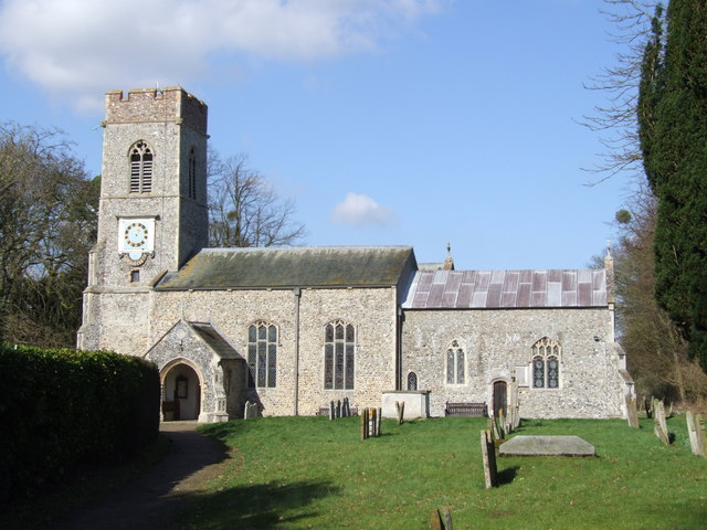
Newton Flotman
Newton Flotman, meaning new farm or settlement, is a village and civil parish in the English county of Norfolk, lies about 7 miles (11 km) south of Norwich...
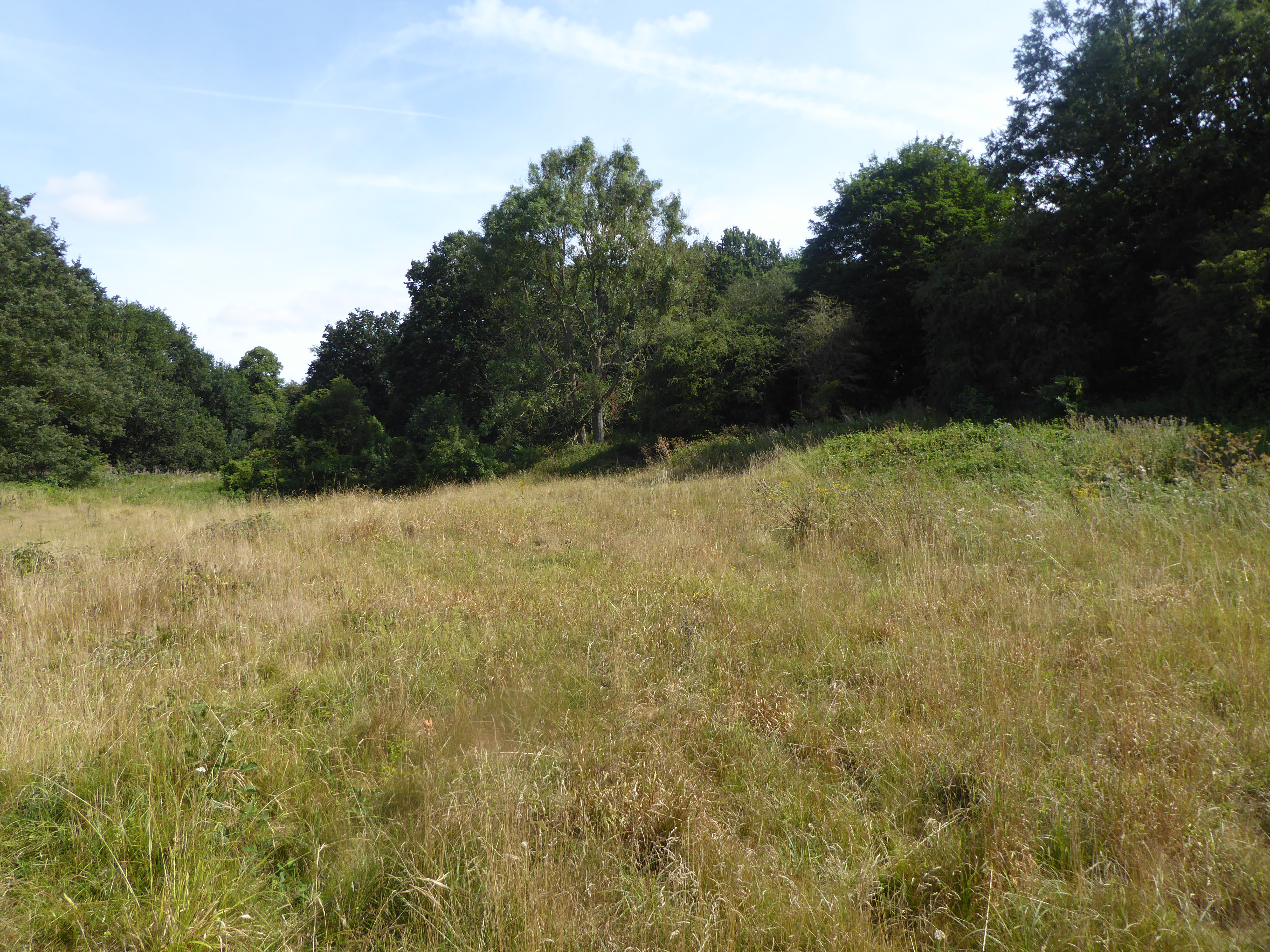
Smockmill Common
Smockmill Common is a 10-hectare (25-acre) Local Nature Reserve on the eastern outskirts of Newton Flotman in Norfolk. It is owned by the Shotesham Estate...

Flordon railway station
Flordon railway station served the village of Flordon, Norfolk. It was opened in 1849, when the line from London Liverpool Street to Norwich Victoria was...

A140 road
The A140 is an 'A-class' road in Norfolk and Suffolk, East Anglia, England partly following the route of the Roman Pye Road. It runs from the A14 near...

Flordon
Flordon is a village and civil parish in the English county of Norfolk. The village is located 5.4 miles (8.7 km) south-east of Wymondham and 7.6 miles...

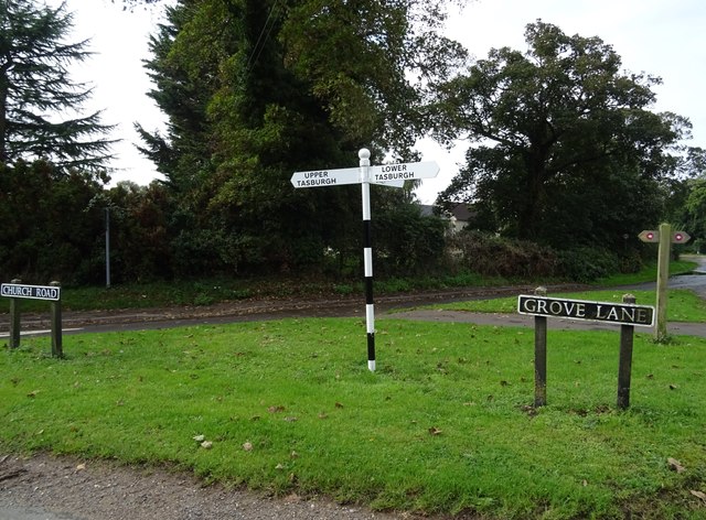
Tasburgh
Tasburgh ( TAYZ-bər-ə) is a civil parish and a village in the south of Norfolk, England, located approximately 8 miles south of Norwich. It lies on the...
Saxlingham Nethergate
Saxlingham Nethergate is a village and civil parish in Norfolk, England, about 9.5 miles (15 km) south of Norwich. The civil parish has an area of 3.3...

Flordon Common
Flordon Common is a 9.9-hectare (24-acre) biological Site of Special Scientific Interest south-east of Wymondham in Norfolk. It is a registered common...
Nearby Amenities
Located within 500m of 52.532244,1.2512472Have you been to Hewitt's Plantation?
Leave your review of Hewitt's Plantation below (or comments, questions and feedback).