Longcraft Wood
Wood, Forest in Kent Shepway
England
Longcraft Wood
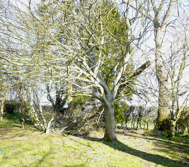
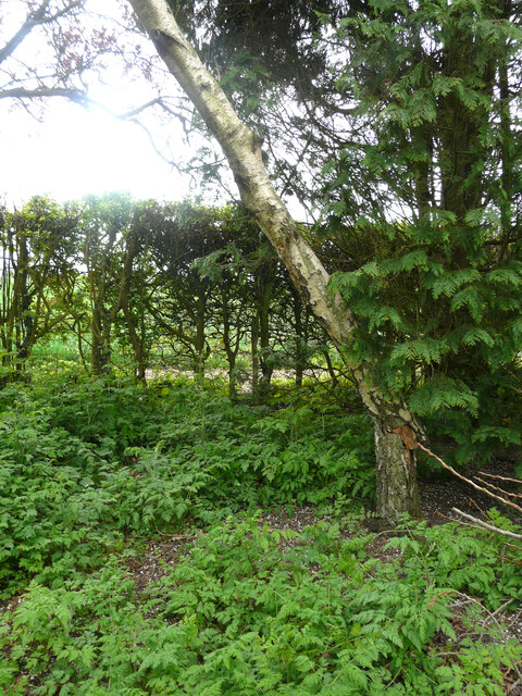
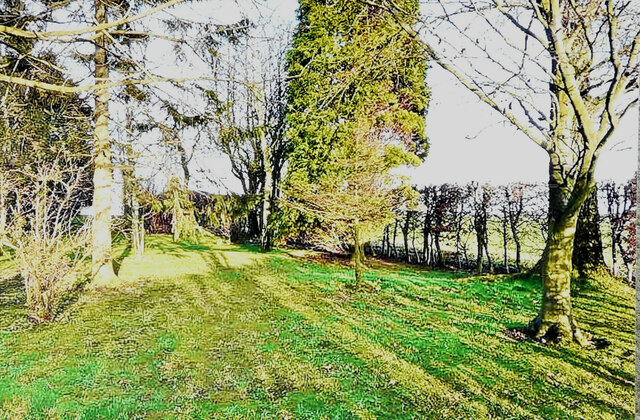
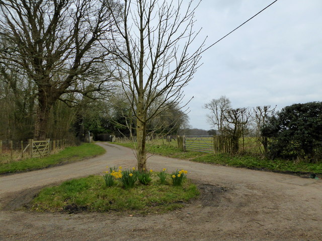
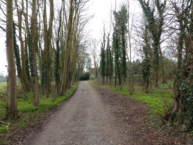
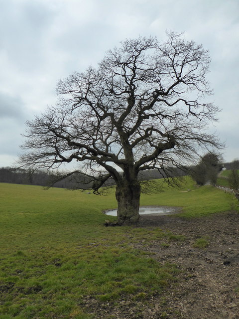
Longcraft Wood, located in Kent, England, is a picturesque forest that captivates visitors with its natural beauty and tranquil surroundings. Covering an expansive area, this woodland is renowned for its diverse range of trees, wildlife, and recreational opportunities.
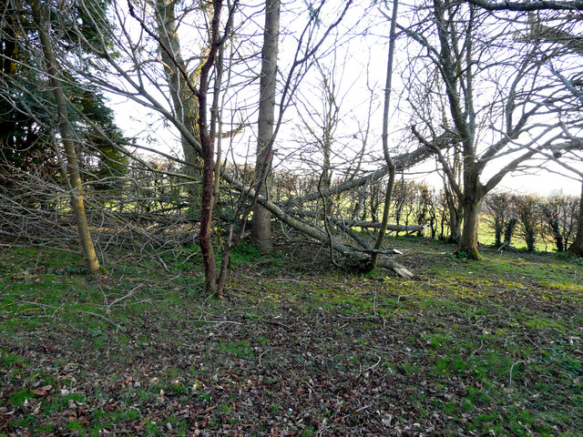
The wood boasts a rich variety of tree species, including oak, beech, and ash, which create a vibrant and verdant canopy. This biodiversity provides a haven for numerous bird species, such as woodpeckers and nightingales, making it a popular destination for birdwatchers. Additionally, Longcraft Wood is home to a multitude of small mammals, such as rabbits, squirrels, and foxes, adding to the area's ecological significance.
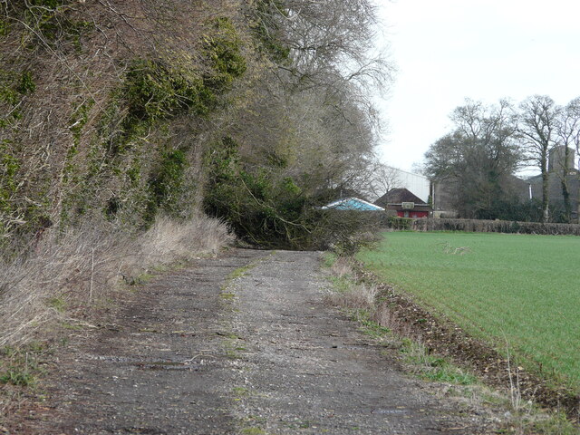
Visitors to Longcraft Wood can immerse themselves in the peaceful ambiance by exploring its well-maintained walking trails. These paths wind through the forest, offering glimpses of sun-dappled glades and enchanting clearings. The wood's proximity to neighboring areas, such as the village of Longcraft, makes it easily accessible for both locals and tourists seeking a serene escape from the bustling city life.
Nature enthusiasts can indulge in various recreational activities, including hiking, nature photography, and picnicking. The wood's management ensures a balance between preserving its ecological integrity and providing opportunities for outdoor enjoyment.
In summary, Longcraft Wood in Kent is a captivating forest that showcases the beauty of nature. With its diverse tree species, abundant wildlife, and recreational offerings, it invites visitors to immerse themselves in the tranquility of the wooded landscape.
If you have any feedback on the listing, please let us know in the comments section below.
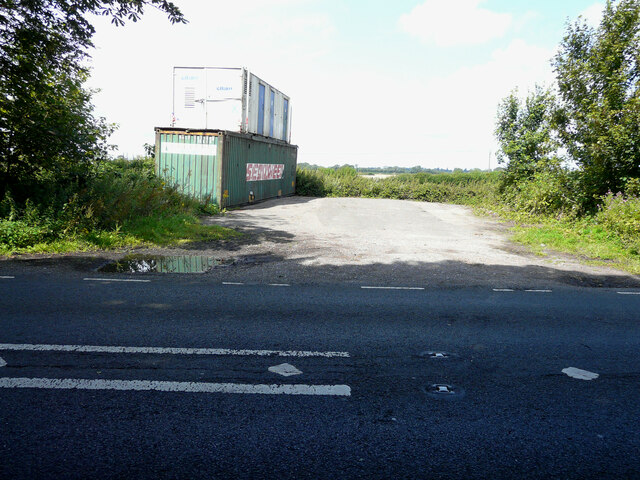
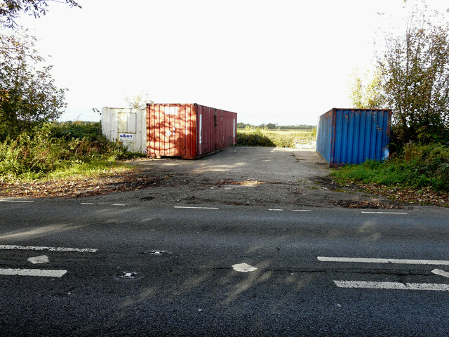
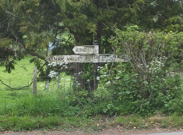
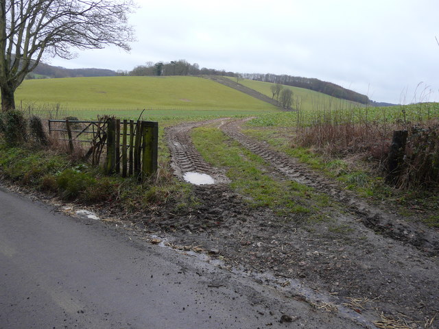
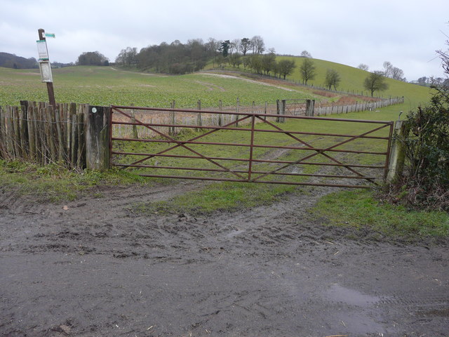
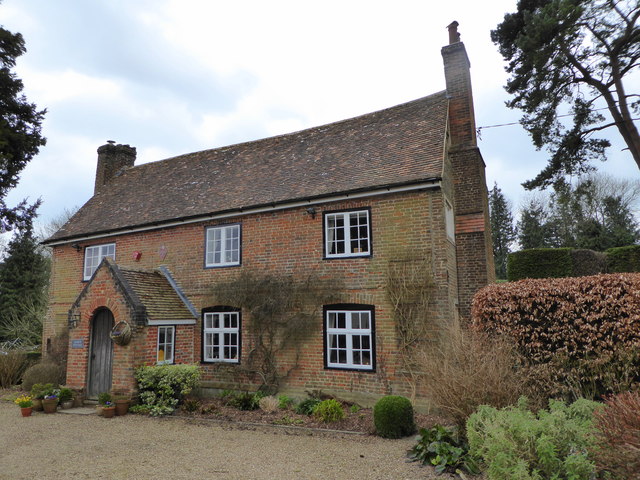
Longcraft Wood Images
Images are sourced within 2km of 51.140718/1.1523968 or Grid Reference TR2042. Thanks to Geograph Open Source API. All images are credited.

Longcraft Wood is located at Grid Ref: TR2042 (Lat: 51.140718, Lng: 1.1523968)
Administrative County: Kent
District: Shepway
Police Authority: Kent
What 3 Words
///irony.wiring.scale. Near Hawkinge, Kent
Nearby Locations
Related Wikis

Acrise
Acrise is an ecclesiastical and civil parish in the Folkestone and Hythe district, Kent, England, located between Elham and Densole and about six miles...

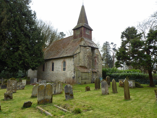
St Martin's Church, Acrise
St Martin's Church is an Anglican church in the village and parish of Acrise in Kent, England. The church dates back to the Norman era, and was designated...

Acrise Place
Acrise Place is a mainly 18th-century house located about 6 miles (9.6 km) north of Folkestone in the village of Acrise, Kent, England. It is a Grade II...

Selsted
Selsted is a hamlet in Kent, England. It is in the local government district of Folkestone and Hythe, and the electoral ward of North Downs East.During...

Swingfield
Swingfield is a village and civil parish in the district of Folkestone and Hythe in Kent, England. The parish includes the settlements of Densole on the...

Hawkinge
Hawkinge ( HAW-kinj) is a town and civil parish in the Folkestone and Hythe district of Kent, England. The original village of Hawkinge is actually just...

St Peter's Church, Swingfield
St Peter's Church is a redundant Anglican church in the village of Swingfield, some 3 miles (5 km) northeast of Hawkinge, Kent, England. It is recorded...
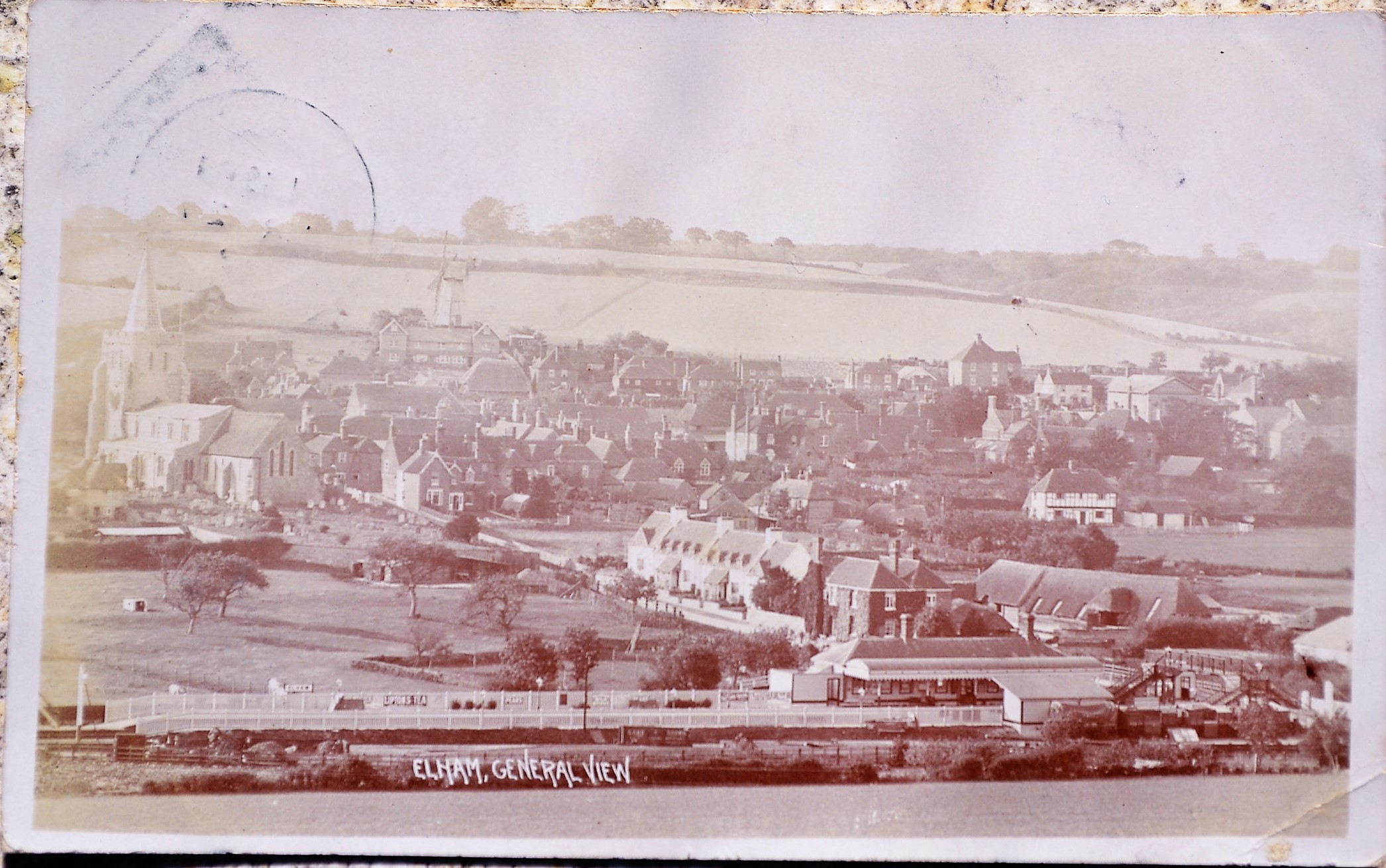
Elham railway station
Elham railway station is a disused railway station on the Elham Valley Railway which served the village of Elham in Kent and the surrounding villages....
Nearby Amenities
Located within 500m of 51.140718,1.1523968Have you been to Longcraft Wood?
Leave your review of Longcraft Wood below (or comments, questions and feedback).