Marsh Plantation
Wood, Forest in Norfolk South Norfolk
England
Marsh Plantation
Marsh Plantation is a historic property located in Norfolk, Virginia. Situated within a verdant wood and forest setting, this picturesque plantation has a rich history that dates back to the early 18th century. The plantation encompasses sprawling acres of land, offering a sense of tranquility and seclusion in the heart of nature.
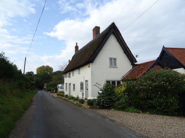
The main house of Marsh Plantation showcases exquisite architecture, characterized by its charming colonial design and elegant detailing. Built in the Georgian style, the house features a symmetrical layout, a brick facade, and large windows that allow for ample natural light. The interior boasts spacious rooms with high ceilings, original fireplaces, and period furniture, giving visitors a glimpse into the past.
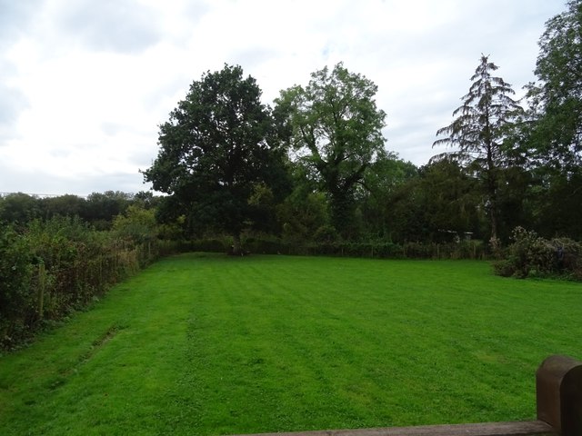
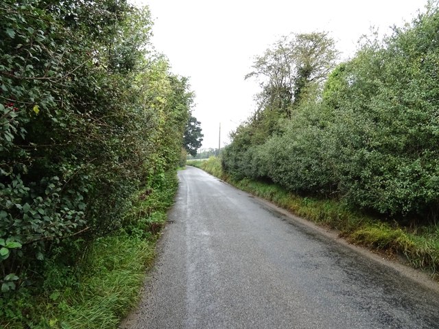
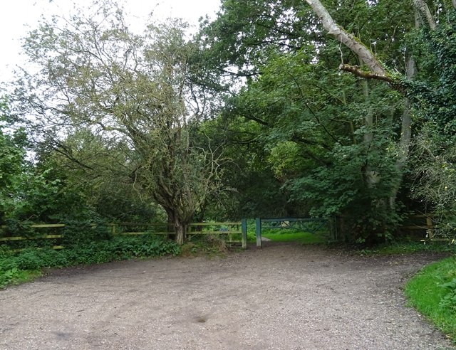
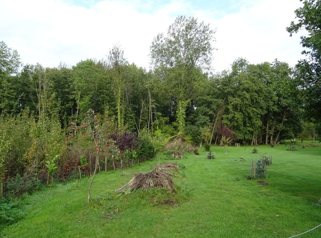
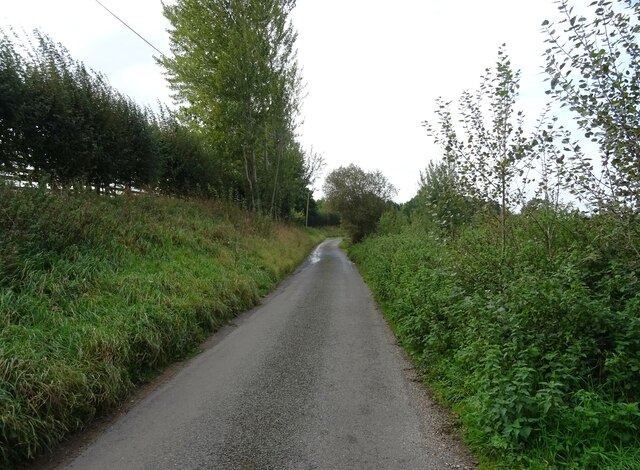
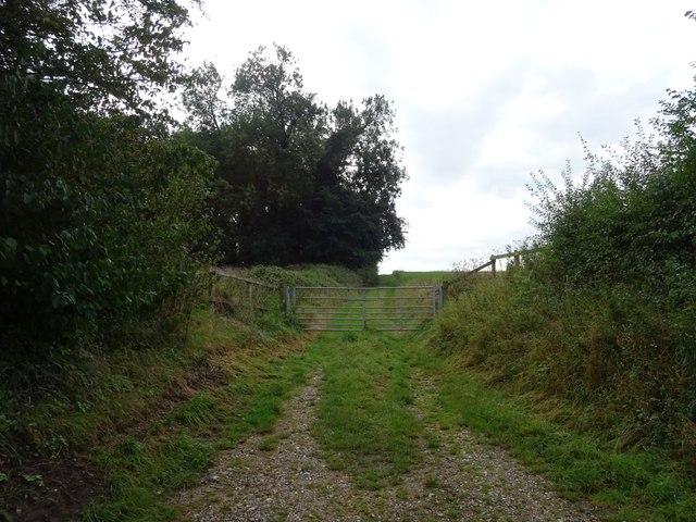
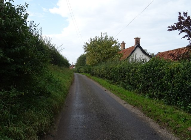
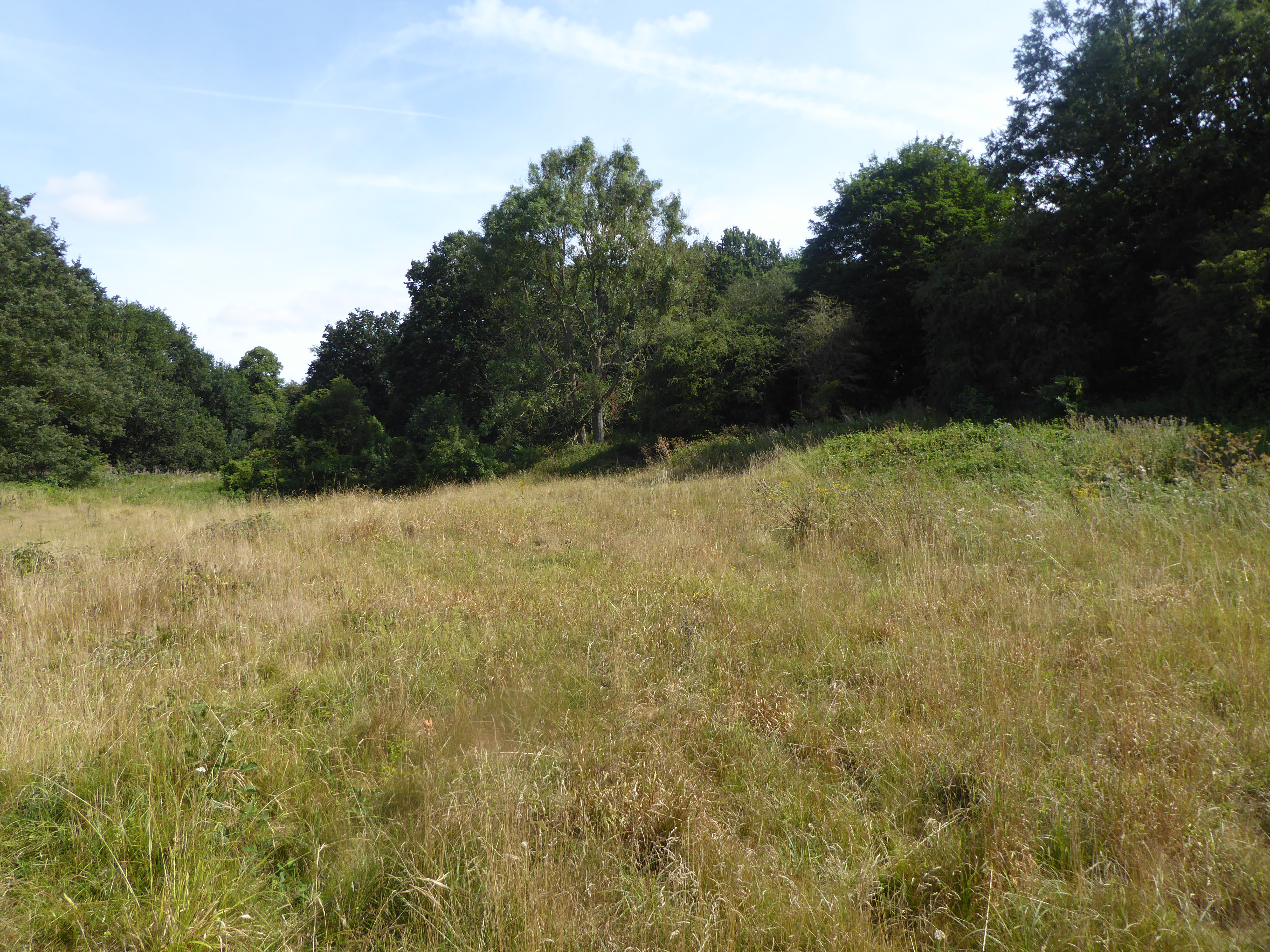
Surrounding the main house, the wood and forest of Marsh Plantation provide a lush backdrop, with towering trees, dense foliage, and serene walking trails. This natural landscape is home to a diverse range of flora and fauna, making it a haven for nature enthusiasts and bird watchers.
In addition to its natural beauty, Marsh Plantation also holds significant historical value. The property has been associated with prominent families throughout its existence, and its grounds have witnessed important events in American history. Visitors can explore the plantation's grounds, take guided tours, and learn about the plantation's role in the region's past.
Overall, Marsh Plantation in Norfolk offers a unique combination of natural beauty and historical significance. Its wood and forest setting, coupled with its well-preserved colonial architecture, make it a must-visit destination for those seeking a glimpse into the past and a retreat into nature.
If you have any feedback on the listing, please let us know in the comments section below.
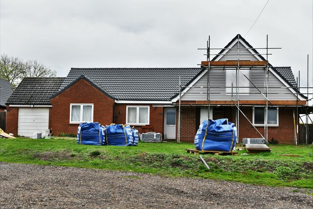
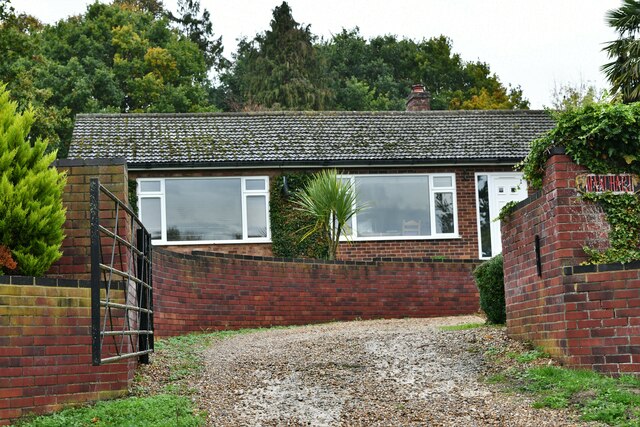
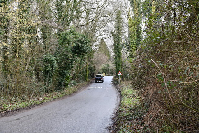
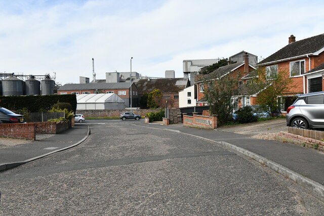
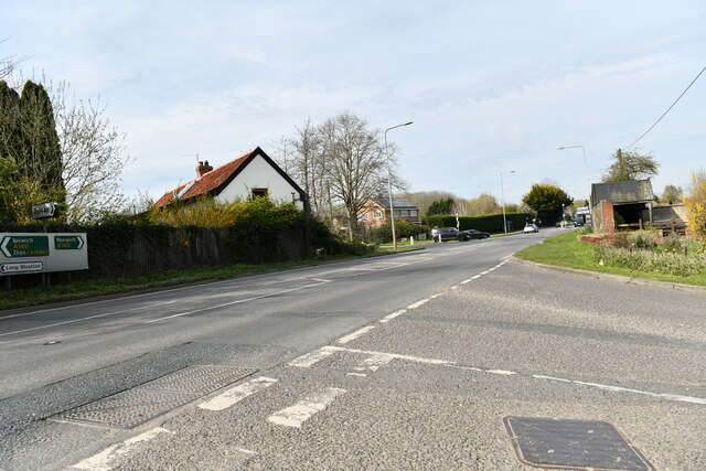
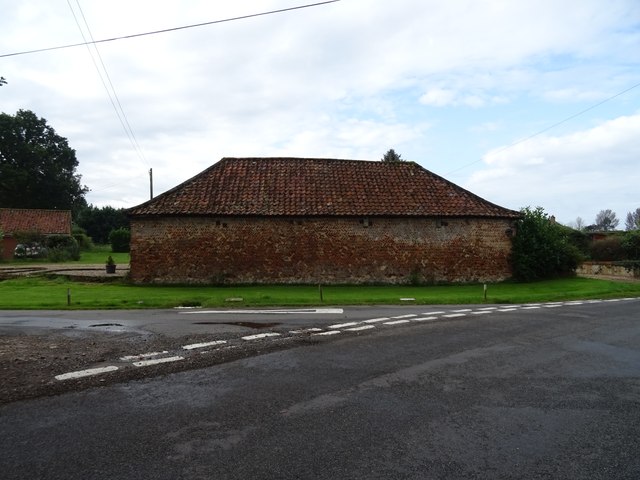
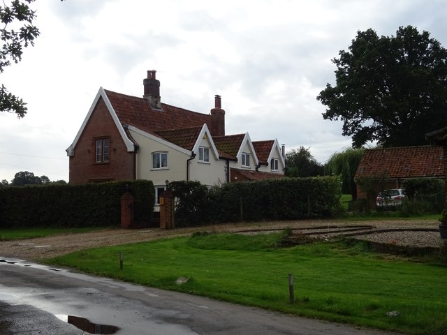
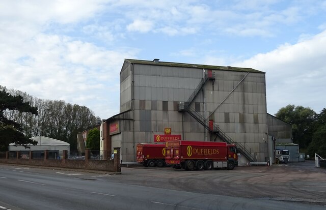
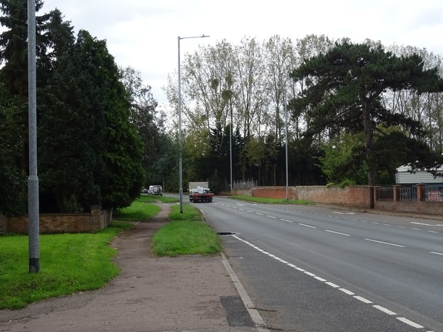
Marsh Plantation Images
Images are sourced within 2km of 52.528458/1.2535332 or Grid Reference TM2097. Thanks to Geograph Open Source API. All images are credited.
Marsh Plantation is located at Grid Ref: TM2097 (Lat: 52.528458, Lng: 1.2535332)
Administrative County: Norfolk
District: South Norfolk
Police Authority: Norfolk
What 3 Words
///unit.wound.mainframe. Near Mulbarton, Norfolk
Nearby Locations
Related Wikis

Newton Flotman
Newton Flotman, meaning new farm or settlement, is a village and civil parish in the English county of Norfolk, lies about 7 miles (11 km) south of Norwich...

A140 road
The A140 is an 'A-class' road in Norfolk and Suffolk, East Anglia, England partly following the route of the Roman Pye Road. It runs from the A14 near...
Smockmill Common
Smockmill Common is a 10-hectare (25-acre) Local Nature Reserve on the eastern outskirts of Newton Flotman in Norfolk. It is owned by the Shotesham Estate...

Flordon railway station
Flordon railway station served the village of Flordon, Norfolk. It was opened in 1849, when the line from London Liverpool Street to Norwich Victoria was...
Nearby Amenities
Located within 500m of 52.528458,1.2535332Have you been to Marsh Plantation?
Leave your review of Marsh Plantation below (or comments, questions and feedback).