Rainthorpe Hall
Heritage Site in Norfolk South Norfolk
England
Rainthorpe Hall
Rainthorpe Hall is a historic estate located in Norfolk, England. This magnificent heritage site is renowned for its architectural beauty, stunning gardens, and rich history that spans over several centuries.
The hall, originally built in the 16th century, showcases an exquisite blend of Elizabethan and Jacobean architectural styles. The exterior features mellow red brick walls, ornate gables, and large mullioned windows that provide an impressive sight for visitors. The interiors boast intricate woodwork, grand fireplaces, and beautifully decorated ceilings, reflecting the opulence of the bygone eras.
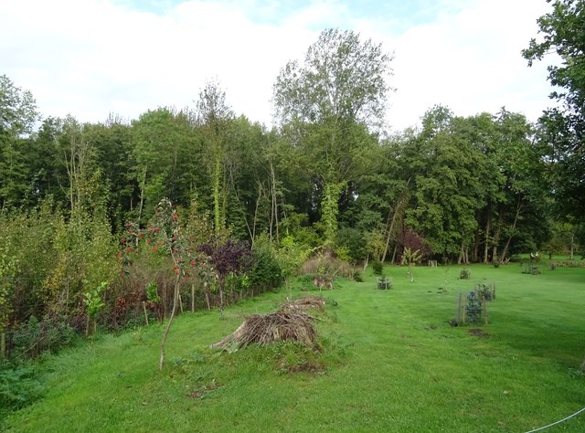
Surrounding the hall are picturesque gardens that have been meticulously designed and maintained. These include manicured lawns, vibrant flower beds, and a tranquil lake that adds to the serenity of the estate. The gardens also feature a variety of rare plant species, making it a haven for botany enthusiasts.
Rainthorpe Hall has a fascinating history, having been home to several notable families throughout the years. It was once owned by Sir Robert Walpole, the first Prime Minister of Great Britain, and later passed on to the Colman family, renowned for their mustard business. The hall has witnessed significant historical events and has been a gathering place for influential figures of its time.
Today, Rainthorpe Hall is open to the public, offering guided tours that delve into its rich heritage. Visitors can explore the impressive architecture, enjoy the tranquility of the gardens, and gain insight into the lives of the people who once resided here. It stands as a testament to the region's history and is a must-visit destination for history and architecture enthusiasts alike.
If you have any feedback on the listing, please let us know in the comments section below.
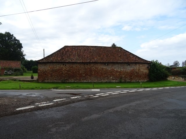
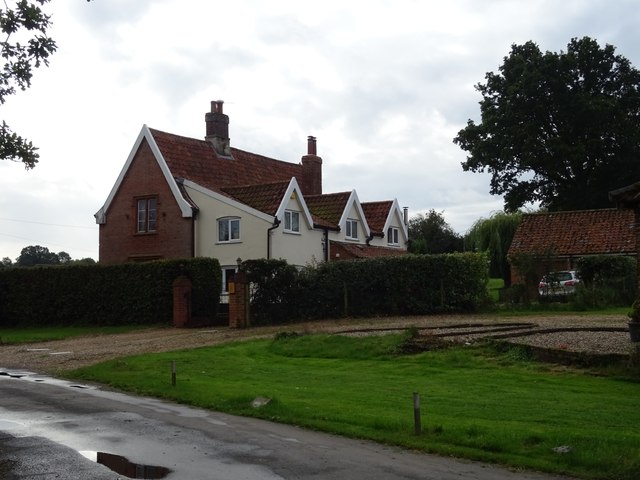
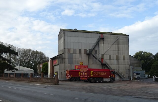
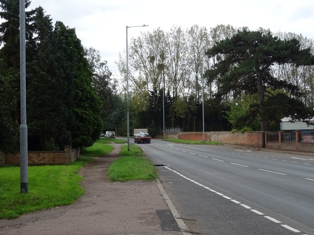
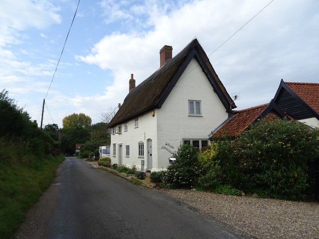
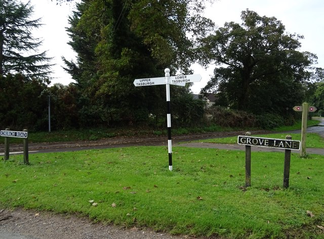
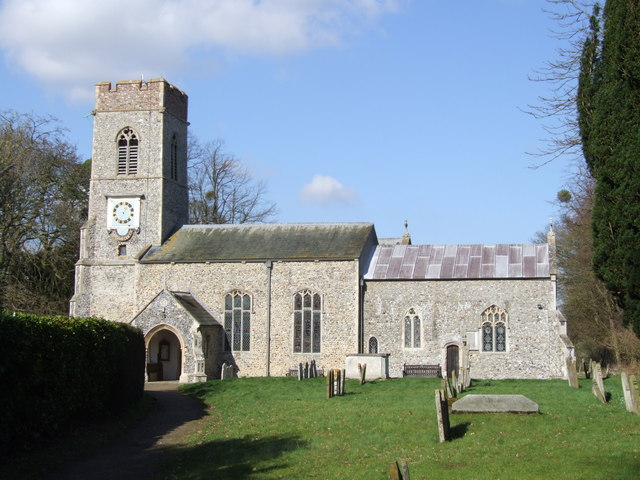
Rainthorpe Hall Images
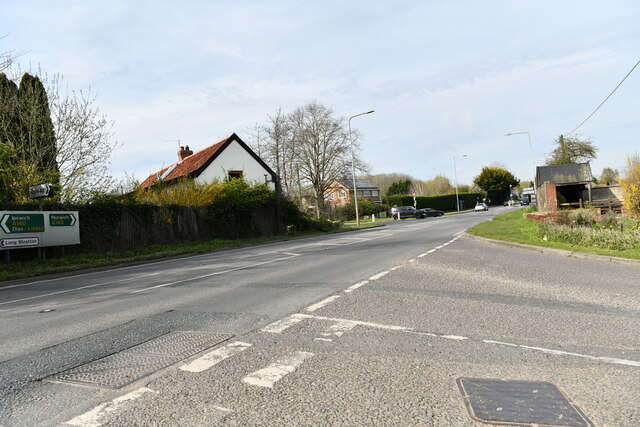
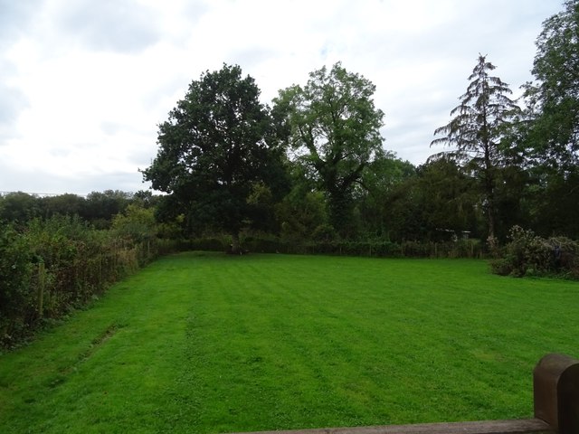
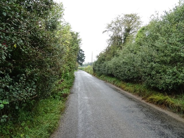
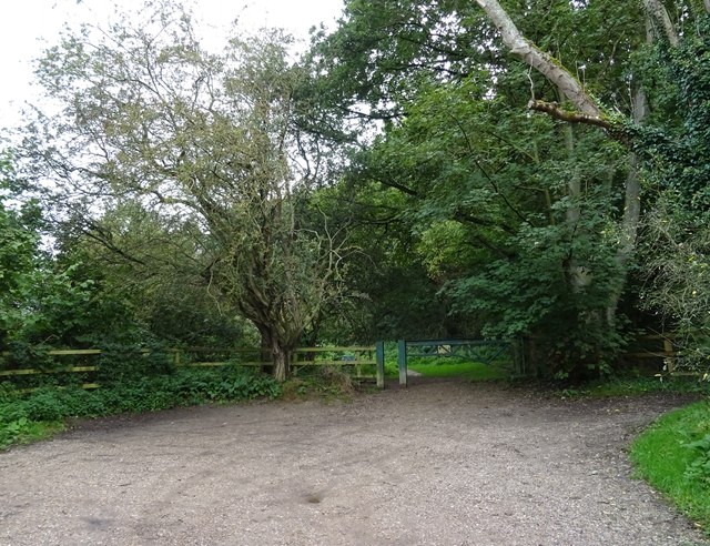
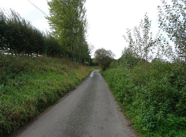
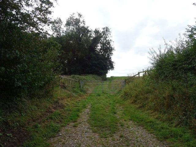
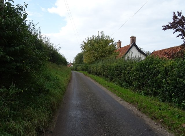
Images are sourced within 2km of 52.53/1.252 or Grid Reference TM2097. Thanks to Geograph Open Source API. All images are credited.
Rainthorpe Hall is located at Grid Ref: TM2097 (Lat: 52.53, Lng: 1.252)
Administrative County: Norfolk
District: South Norfolk
Police Authority: Norfolk
What 3 Words
///cassettes.stuffy.famed. Near Mulbarton, Norfolk
Related Wikis

Newton Flotman
Newton Flotman, meaning new farm or settlement, is a village and civil parish in the English county of Norfolk, lies about 7 miles (11 km) south of Norwich...

A140 road
The A140 is an 'A-class' road in Norfolk and Suffolk, East Anglia, England partly following the route of the Roman Pye Road. It runs from the A14 near...
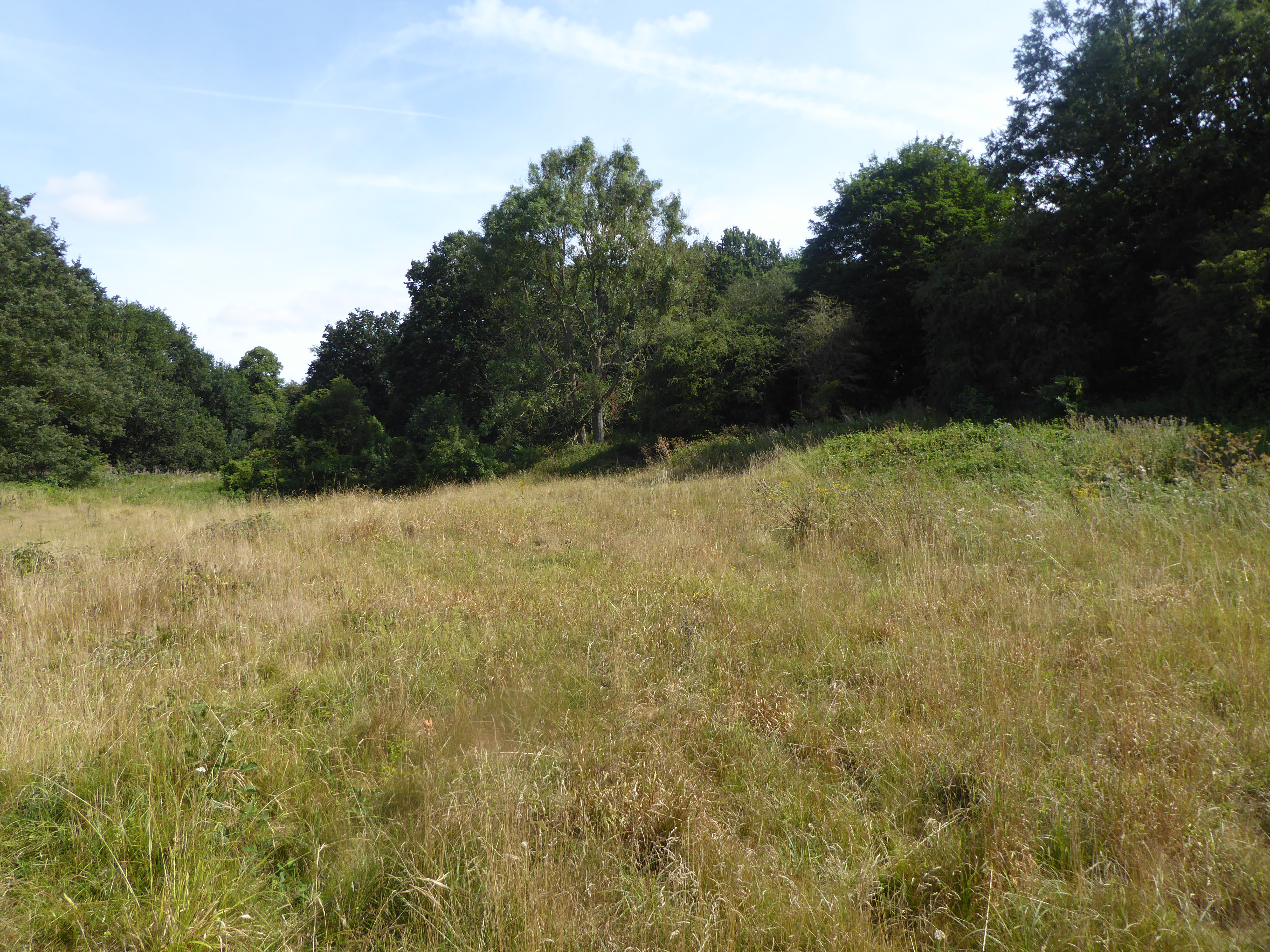
Smockmill Common
Smockmill Common is a 10-hectare (25-acre) Local Nature Reserve on the eastern outskirts of Newton Flotman in Norfolk. It is owned by the Shotesham Estate...

Flordon railway station
Flordon railway station served the village of Flordon, Norfolk. It was opened in 1849, when the line from London Liverpool Street to Norwich Victoria was...

Tasburgh
Tasburgh ( TAYZ-bər-ə) is a civil parish and a village in the south of Norfolk, England, located approximately 8 miles south of Norwich. It lies on the...

Flordon
Flordon is a village and civil parish in the English county of Norfolk. The village is located 5.4 miles (8.7 km) south-east of Wymondham and 7.6 miles...
Saxlingham Nethergate
Saxlingham Nethergate is a village and civil parish in Norfolk, England, about 9.5 miles (15 km) south of Norwich. The civil parish has an area of 3.3...

Flordon Common
Flordon Common is a 9.9-hectare (24-acre) biological Site of Special Scientific Interest south-east of Wymondham in Norfolk. It is a registered common...
Nearby Amenities
Located within 500m of 52.53,1.252Have you been to Rainthorpe Hall?
Leave your review of Rainthorpe Hall below (or comments, questions and feedback).