Page's Wood

Wood, Forest in Suffolk Mid Suffolk

England

Page's Wood

Field north of Thorpe Lane
Field north of Thorpe Lane Credit: Christopher Hilton

Page's Wood is a picturesque forest located in Suffolk, England. Spanning an area of approximately 100 acres, it is a popular destination for nature enthusiasts and hikers alike. The wood is situated near the village of Saxmundham, making it easily accessible for visitors from the nearby towns and cities.

The woodland is characterized by its diverse range of tree species, including oak, ash, birch, and beech. These towering trees create a dense canopy, providing a sheltered habitat for various wildlife species. Visitors to Page's Wood can expect to encounter an array of bird species, such as woodpeckers, warblers, and owls. The forest floor is also home to smaller animals like squirrels, rabbits, and foxes.

The wood features several well-maintained walking trails, allowing visitors to explore its natural beauty at their own pace. These paths wind through the forest, offering glimpses of tranquil ponds, meandering streams, and vibrant wildflowers during the warmer months. The serene atmosphere of Page's Wood makes it an ideal spot for a peaceful picnic or a leisurely stroll.

In addition to its natural beauty, Page's Wood also holds historical significance. It is believed to have been part of a larger medieval hunting ground, often frequented by the local nobility. Some remnants of this history can still be seen today, with the presence of ancient oaks and earthworks.

Overall, Page's Wood provides a serene escape from the hustle and bustle of daily life, offering visitors a chance to immerse themselves in the beauty of nature and explore the rich history of the area.

If you have any feedback on the listing, please let us know in the comments section below.
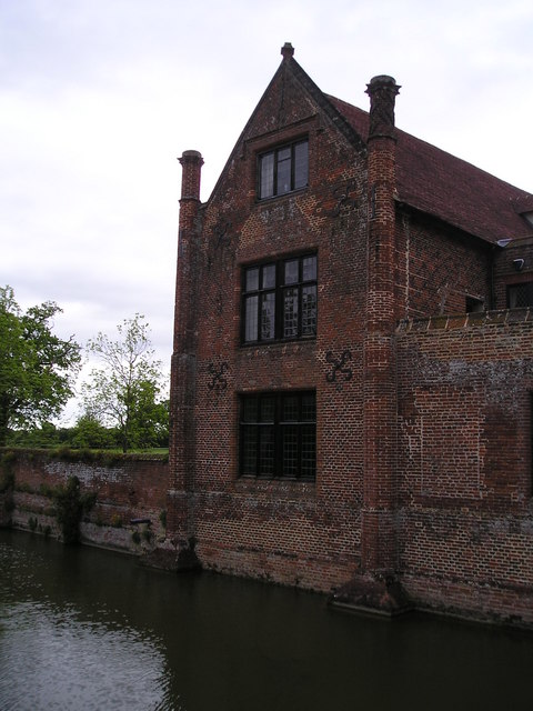
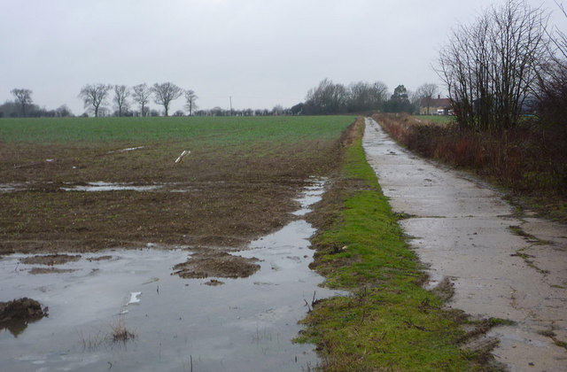
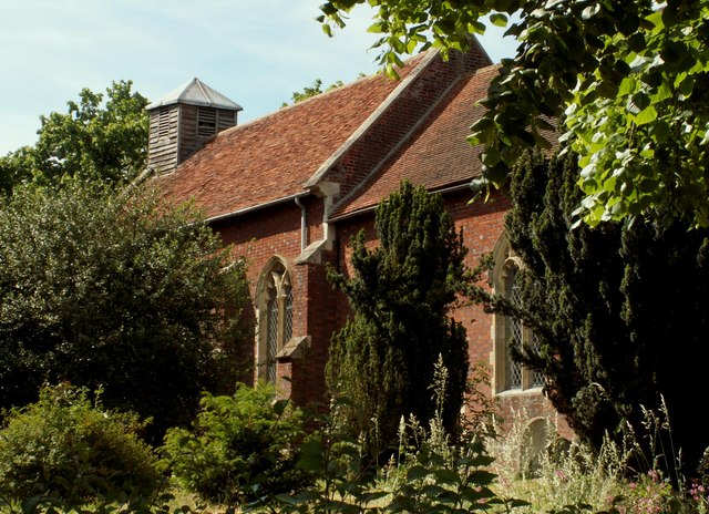
Page's Wood Images

Images are sourced within 2km of 52.227438/1.2311853 or Grid Reference TM2063. Thanks to Geograph Open Source API. All images are credited.

Field north of Thorpe Lane
Track leading north off Thorpe Lane
Looking up the Deben valley along Thorpe Lane
Minor  road  junction  at  Whitepost  Corner Turn right for Ashfield Cum Thorpe
Minor road junction at Whitepost Corner
Turn right for Ashfield Cum Thorpe
In  the  dip  minor  road  junction  on  A1120 Left for Ashfield Cum Thorpe at Whitepost Corner
In the dip minor road junction on A1120
Left for Ashfield Cum Thorpe at Whitepost Corner
Stile and footpath
Stile and footpath
Farmhouse at Oaktree Farm
Bridleway west from Grove Farm Making its way over gentle countryside to Debenham.
Bridleway west from Grove Farm
Making its way over gentle countryside to Debenham.
Crows Hall Picture taken at the Crows Hall Fete, May 2009. <span class="nowrap"><a title="http://www.crows-hall.co.uk/" rel="nofollow ugc noopener" href="http://www.crows-hall.co.uk/">Link</a><img style="margin-left:2px;" alt="External link" title="External link - shift click to open in new window" src="https://s1.geograph.org.uk/img/external.png" width="10" height="10"/></span>
Crows Hall
Picture taken at the Crows Hall Fete, May 2009. LinkExternal link
Crows Hall Crows Hall is a 16th Century moated manor house on the outskirts of Debenham. <span class="nowrap"><a title="http://www.crows-hall.co.uk/history.html" rel="nofollow ugc noopener" href="http://www.crows-hall.co.uk/history.html">Link</a><img style="margin-left:2px;" alt="External link" title="External link - shift click to open in new window" src="https://s1.geograph.org.uk/img/external.png" width="10" height="10"/></span>
Crows Hall
Crows Hall is a 16th Century moated manor house on the outskirts of Debenham. LinkExternal link
Track junction The track to the left branches of Waddlegoose Lane and heads for Hill Farm.
Track junction
The track to the left branches of Waddlegoose Lane and heads for Hill Farm.
Track to Grove Farm Seen near a junction on the track called Waddlegoose Lane. The last remnants of snow were getting washed away on a wet day.
Track to Grove Farm
Seen near a junction on the track called Waddlegoose Lane. The last remnants of snow were getting washed away on a wet day.
Farm track to Oaktree Farm Seen from a footpath north of Waddlegoose Lane.
Farm track to Oaktree Farm
Seen from a footpath north of Waddlegoose Lane.
Monk Soham village sign A 2 dimensional sign beautifully cut to appear 3 dimensional.
A team of horses three abreast, or troika, necessary in the heavy clay soil. It makes an attractive village sign and represents the horse and the agricultural heritage of the parish. <a title="https://www.geograph.org.uk/photo/6772275" href="https://www.geograph.org.uk/photo/6772275">Link</a>
Monk Soham village sign
A 2 dimensional sign beautifully cut to appear 3 dimensional. A team of horses three abreast, or troika, necessary in the heavy clay soil. It makes an attractive village sign and represents the horse and the agricultural heritage of the parish. Link
Monk Soham War Memorial The memorial records the names of the eight men lost in WW1 and of the one lost in WW2.
Monk Soham War Memorial
The memorial records the names of the eight men lost in WW1 and of the one lost in WW2.
Mill Hill, Earl Soham
Field by Mill Hill, Earl Soham
Mill Hill, Ashfield cum Thorpe It looks like a Roman road and it is.
Mill Hill, Ashfield cum Thorpe
It looks like a Roman road and it is.
Show me another place!

Page's Wood is located at Grid Ref: TM2063 (Lat: 52.227438, Lng: 1.2311853)

Administrative County: Suffolk

District: Mid Suffolk

Police Authority: Suffolk

What 3 Words

///sober.meanings.bogus. Near Debenham, Suffolk

Nearby Locations

Page's Wood

Related Wikis

Ashfield cum Thorpe

Ashfield cum Thorpe is a civil parish in the Mid Suffolk district of Suffolk, England, between the town of Framlingham to the East and the village of Debenham...

Monk Soham

Monk Soham is a village in Suffolk, eastern England, four miles (6.4 km) northeast of Debenham and six miles (10 km) northwest of Framlingham. The neighbouring...

Earl Soham

Earl Soham is a small settlement in Suffolk, England. It is on the A1120 road and is 4 kilometres (2 mi) west of the town of Framlingham. Earl Soham once...

Kenton, Suffolk

Kenton is a village and civil parish in the Mid Suffolk district of Suffolk in eastern England. Located 1.9 miles to the north-east of Debenham, in 2005...

Nearby Amenities

Located within 500m of 52.227438,1.2311853
Power: pole
Lat/Long: 52.226421/1.2378234
Power: pole
Lat/Long: 52.2260595/1.2365681
Power: pole
Lat/Long: 52.22568/1.2352967
Power: pole
Lat/Long: 52.2253103/1.2340736
Power: pole
Lat/Long: 52.2249456/1.2328237
Power: pole
Lat/Long: 52.2245858/1.2315685
Power: pole
Lat/Long: 52.224594/1.230163
Power: pole
Lat/Long: 52.2246047/1.2288339
Power: pole
Lat/Long: 52.2246137/1.2275116
Power: pole
Lat/Long: 52.2246227/1.2261638
The data included in this document is from www.openstreetmap.org. The data is made available under ODbL.

Have you been to Page's Wood?

Leave your review of Page's Wood below (or comments, questions and feedback).