Round Wood

Wood, Forest in Kent Shepway

England

Round Wood

Shipping containers These were the <a href="https://www.geograph.org.uk/photo/6950400">TR2143 : Shipping containers</a>, which were in the lay-by in August 2021.
Shipping containers Credit: John Baker

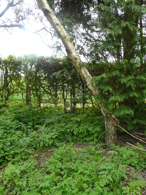
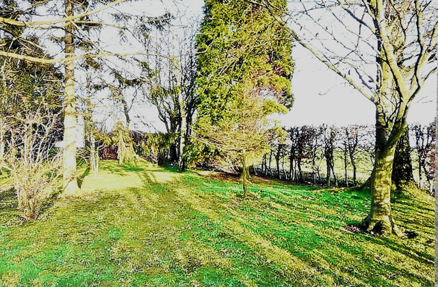
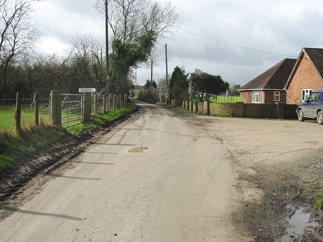
Round Wood is a picturesque forest located in the county of Kent, England. Situated near the village of Wood, this woodland area covers approximately 120 hectares of land. Known for its natural beauty and diverse ecosystem, Round Wood attracts visitors all year round.

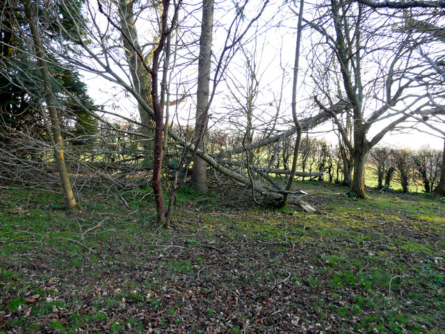
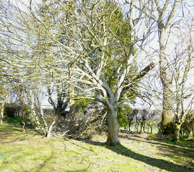
The forest is primarily composed of deciduous trees, including oak, beech, and birch, which create a dense canopy and provide shelter for a variety of wildlife. This diverse habitat supports a wide range of flora and fauna, including deer, foxes, badgers, and numerous species of birds. Nature enthusiasts and birdwatchers frequent the area to observe these creatures in their natural surroundings.

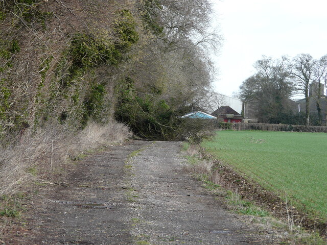
Tranquil walking trails wind their way through Round Wood, allowing visitors to explore the forest and enjoy its serene atmosphere. These paths lead to various points of interest, such as a small pond and a meadow, offering opportunities for relaxation and picnicking.

Round Wood is also home to a number of ancient trees, some of which are estimated to be over 300 years old. These majestic giants contribute to the forest's unique charm and provide an insight into the area's rich history.

The forest is managed by the local authorities and conservation organizations, who work to preserve its natural beauty and protect its wildlife. As such, Round Wood serves as a valuable educational resource, offering guided tours and educational programs to schools and other interested groups.

Overall, Round Wood in Kent is a captivating forest that provides a haven for nature enthusiasts, wildlife, and those seeking a peaceful retreat in the heart of the English countryside.

If you have any feedback on the listing, please let us know in the comments section below.

Round Wood Images

Images are sourced within 2km of 51.161692/1.1541278 or Grid Reference TR2045. Thanks to Geograph Open Source API. All images are credited.

Shipping containers These were the <a href="https://www.geograph.org.uk/photo/6950400">TR2143 : Shipping containers</a>, which were in the lay-by in August 2021.
Shipping containers
These were the TR2143 : Shipping containers, which were in the lay-by in August 2021.
Storms’ damage A combination of Storm Eunice (the previous day) and Storm Franklin (overnight) caused these trees, beside the track to Winterdown Farm and Cottage, to be blown over. Courtesy of Storm Eunice, the properties had both suffered power cuts that lasted five minutes short of 50 hours.
Storms’ damage
A combination of Storm Eunice (the previous day) and Storm Franklin (overnight) caused these trees, beside the track to Winterdown Farm and Cottage, to be blown over. Courtesy of Storm Eunice, the properties had both suffered power cuts that lasted five minutes short of 50 hours.
Noticeboard in a field of sheep and lambs The noticeboard was advertising the 5 Nations British Rallycross to be held on Saturday 16th April and Monday 18th April at Lydden Hill Race Circuit. There was a shipping container, in a lay-by, behind the noticeboard.
Noticeboard in a field of sheep and lambs
The noticeboard was advertising the 5 Nations British Rallycross to be held on Saturday 16th April and Monday 18th April at Lydden Hill Race Circuit. There was a shipping container, in a lay-by, behind the noticeboard.
Damage by Storm Eunice In the garden of <a href="https://www.geograph.org.uk/photo/1273012">TR2043 : Winterdown Cottage</a>. The damage was caused by the branch of a crack willow being torn off and coming to rest an angle. The incidence may have occurred on Friday 18 February when, at noon, there was an especially violent gust, which caused a lack of power (for 50 hours) to this and other properties in the vicinity.
Damage by Storm Eunice
In the garden of TR2043 : Winterdown Cottage. The damage was caused by the branch of a crack willow being torn off and coming to rest an angle. The incidence may have occurred on Friday 18 February when, at noon, there was an especially violent gust, which caused a lack of power (for 50 hours) to this and other properties in the vicinity.
Damage by Storm Eunice In the garden of <a href="https://www.geograph.org.uk/photo/1273012">TR2043 : Winterdown Cottage</a>. The damage was caused by the branch of a crack willow being torn off and coming to rest an angle. The incidence may have occurred on Friday 18 February when, at noon, there was an especially violent gust, which caused a lack of power (for 50 hours) to this and other properties in the vicinity. 

This view of the <a href="https://www.geograph.org.uk/photo/7152703">TR2043 : Damage by Storm Eunice</a> was taken from  the northwest.
Damage by Storm Eunice
In the garden of TR2043 : Winterdown Cottage. The damage was caused by the branch of a crack willow being torn off and coming to rest an angle. The incidence may have occurred on Friday 18 February when, at noon, there was an especially violent gust, which caused a lack of power (for 50 hours) to this and other properties in the vicinity. This view of the TR2043 : Damage by Storm Eunice was taken from the northwest.
Damage by Storm Eunice A silver birch (betula pendula)) in the garden of <a href="https://www.geograph.org.uk/photo/1273012">TR2043 : Winterdown Cottage</a> had the bottom of its trunk split by the force of the wind, which resulted in the tree adopting a pronounced lean. The incidence may have occurred on Friday 18 February when, at noon, there was an especially violent gust, which caused a lack of power (for 50 hours) to this and other properties in the vicinity.
Damage by Storm Eunice
A silver birch (betula pendula)) in the garden of TR2043 : Winterdown Cottage had the bottom of its trunk split by the force of the wind, which resulted in the tree adopting a pronounced lean. The incidence may have occurred on Friday 18 February when, at noon, there was an especially violent gust, which caused a lack of power (for 50 hours) to this and other properties in the vicinity.
A selection of trees In the garden of <a href="https://www.geograph.org.uk/photo/1273012">TR2043 : Winterdown Cottage</a> showing the silver birch (betula pendula), which 14 years later suffered severe <a href="https://www.geograph.org.uk/photo/7154502">TR2043 : Damage by Storm Eunice</a>.  .
A selection of trees
In the garden of TR2043 : Winterdown Cottage showing the silver birch (betula pendula), which 14 years later suffered severe TR2043 : Damage by Storm Eunice. .
Wasps’ nest In the garage of <a href="https://www.geograph.org.uk/photo/1273012">TR2043 : Winterdown Cottage</a>.
Wasps’ nest
In the garage of TR2043 : Winterdown Cottage.
Direction Sign – Signpost at Rakeshole Farm on Reece Lane Located on the north side of the junction at Rakeshole Farm on Reece Lane in Elham parish. 3 arms and missing annulus finial. See also <a title="https://www.geograph.org.uk/photo/2791033" href="https://www.geograph.org.uk/photo/2791033">Link</a>.

Milestone Society National ID: KE_TR2044
Direction Sign – Signpost at Rakeshole Farm on Reece Lane
Located on the north side of the junction at Rakeshole Farm on Reece Lane in Elham parish. 3 arms and missing annulus finial. See also Link. Milestone Society National ID: KE_TR2044
Stockham Lane at turning for Wootton Straight on for Selsted. The distance to Wootton given, 1/2 mile, is very optimistic. Even as the crow flies it is about 1.2 miles to the village centre.  And if some other concept of 'Wootton' is used, this distance is still in conflict with a far more realistic measure on a sign up the road much closer to Wootton - see <a href="https://www.geograph.org.uk/photo/7651111">TR2245 : Triangular junction, Park Side</a>.  It would seem that '1' has been lost in transmission and the distance should be '1-1/2'.
Stockham Lane at turning for Wootton
Straight on for Selsted. The distance to Wootton given, 1/2 mile, is very optimistic. Even as the crow flies it is about 1.2 miles to the village centre. And if some other concept of 'Wootton' is used, this distance is still in conflict with a far more realistic measure on a sign up the road much closer to Wootton - see TR2245 : Triangular junction, Park Side. It would seem that '1' has been lost in transmission and the distance should be '1-1/2'.
Lane towards Wootton
Triangular junction, Park Side To the right is a dead-end, to the left, the way to Wootton. The signpost is interesting. Wootton is given as 3/4 mile away, about right, but in conflict with a sign 3/4 mile further back - see <a href="https://www.geograph.org.uk/photo/7651083">TR2244 : Stockham Lane at turning for Wootton</a>.  Also in conflict with most elsewhere is the spelling 'Selstead' rather than 'Selsted'.
Triangular junction, Park Side
To the right is a dead-end, to the left, the way to Wootton. The signpost is interesting. Wootton is given as 3/4 mile away, about right, but in conflict with a sign 3/4 mile further back - see TR2244 : Stockham Lane at turning for Wootton. Also in conflict with most elsewhere is the spelling 'Selstead' rather than 'Selsted'.
Wootton Lane Towards Wootton.
Wootton Lane
Towards Wootton.
Field and hedgerow east of Wootton Lane
Wootton Lane enters Wootton
The house at Wingate Farm Seen from a nearby lane.
The house at Wingate Farm
Seen from a nearby lane.
A view over a gate Of the rolling countryside of the North Downs in an Area of Outstanding Natural Beauty (AONB).
A view over a gate
Of the rolling countryside of the North Downs in an Area of Outstanding Natural Beauty (AONB).
Show me another place!

Round Wood is located at Grid Ref: TR2045 (Lat: 51.161692, Lng: 1.1541278)

Administrative County: Kent

District: Shepway

Police Authority: Kent

What 3 Words

///rejoins.bright.fanfare. Near Wootton, Kent

Related Wikis

Selsted

Selsted is a hamlet in Kent, England. It is in the local government district of Folkestone and Hythe, and the electoral ward of North Downs East. During...

Denton with Wootton

Denton with Wootton is a civil parish in the Dover District of Kent, England. The parish contains the settlements of Denton and Wootton, 1 mile (1.6 km...

Wootton, Kent

Wootton is a village and former civil parish, now in the parish of Denton with Wootton, in the Dover district of Kent, England. In 1961 the parish had...

Wingmore

Wingmore is a small village between Canterbury and Folkestone in Kent, England. It is situated in the Elham Valley approximately halfway between the larger...

Nearby Amenities

Located within 500m of 51.161692,1.1541278
Power: tower
Lat/Long: 51.164266/1.1584526
Power: tower
Lat/Long: 51.1630832/1.1522572
Power: tower
Lat/Long: 51.1622554/1.1480766
Power: substation
Lat/Long: 51.1627609/1.1523245
The data included in this document is from www.openstreetmap.org. The data is made available under ODbL.

Have you been to Round Wood?

Leave your review of Round Wood below (or comments, questions and feedback).