Dale Plantation
Wood, Forest in Norfolk South Norfolk
England
Dale Plantation
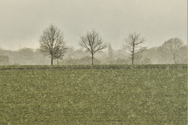
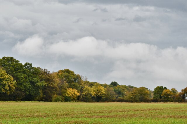
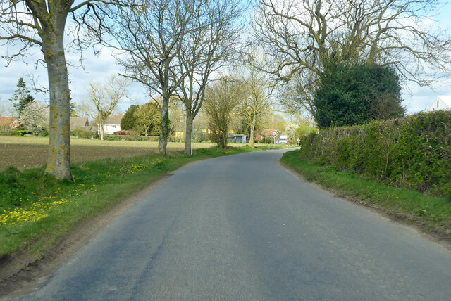
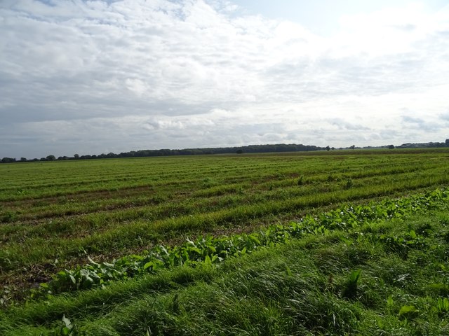
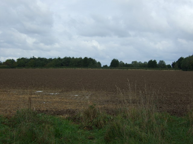
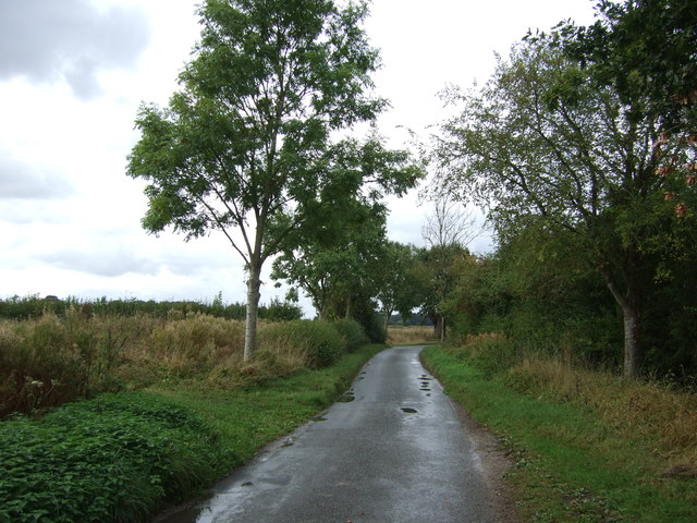
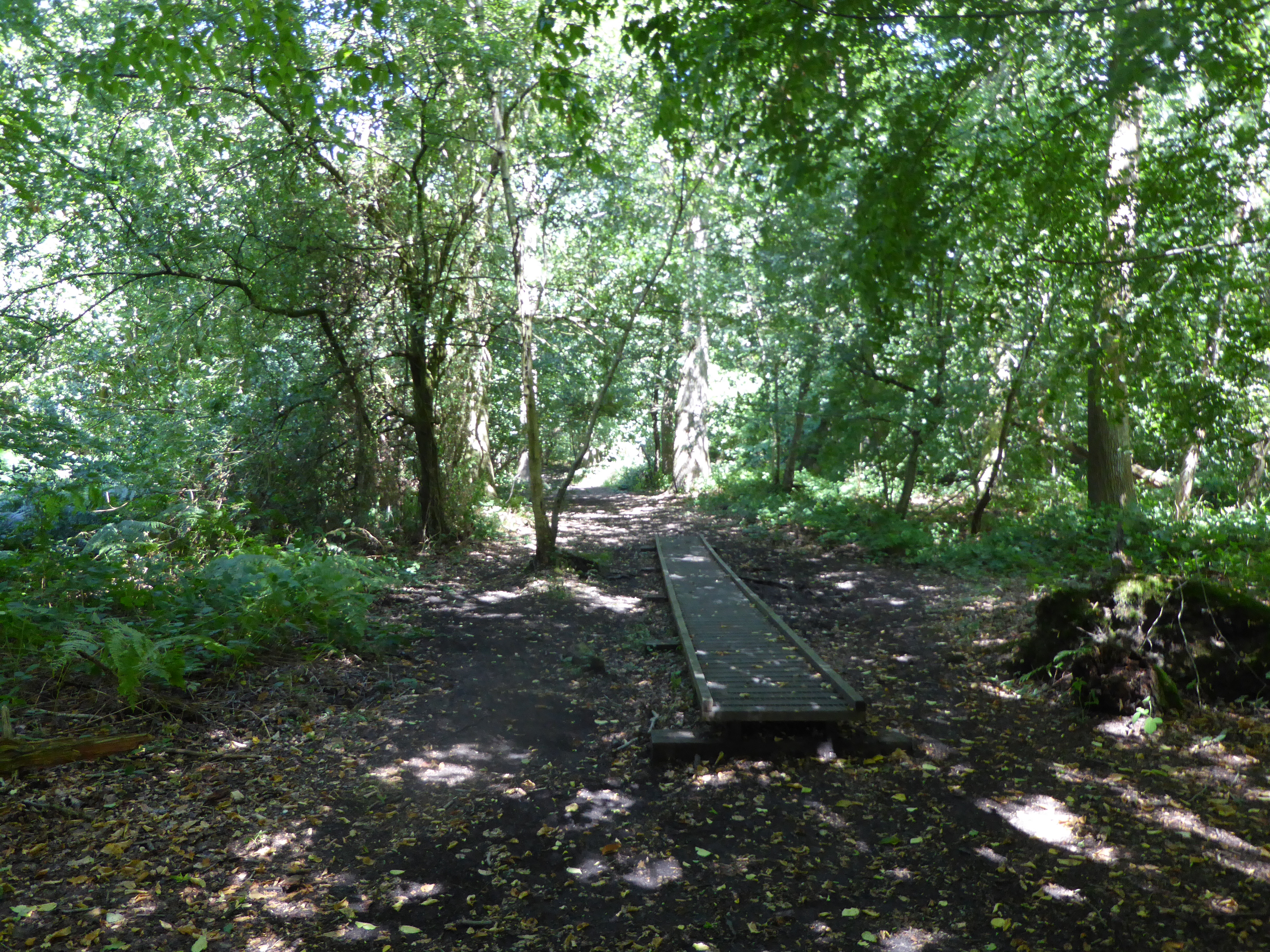
Dale Plantation, located in Norfolk, England, is a picturesque woodland area renowned for its natural beauty and diverse flora and fauna. Covering approximately 500 acres, the plantation is a haven for nature enthusiasts and offers a tranquil escape from the bustling city life.
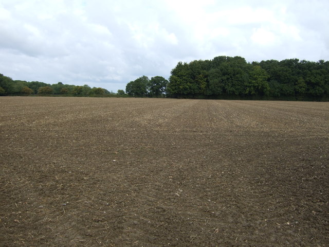
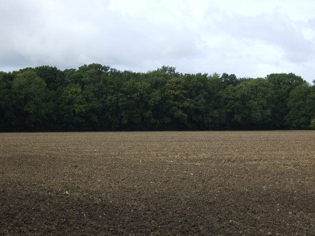
The plantation is primarily composed of a dense mixed broadleaf forest, consisting of various tree species such as oak, birch, beech, and pine. The woodland is characterized by its towering trees, creating a shady and cool environment even during the warm summer months. The forest floor is carpeted with a rich variety of plant species, including bluebells, wild garlic, and ferns, adding to the plantation's enchanting atmosphere.
Dale Plantation is home to a wide range of animal species, making it an ideal spot for wildlife observation. Visitors may catch glimpses of deer, foxes, badgers, and various bird species, including woodpeckers and owls. The plantation also provides a habitat for smaller creatures such as squirrels, rabbits, and hedgehogs.
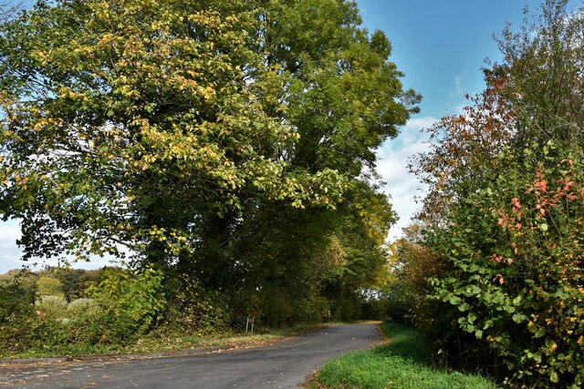
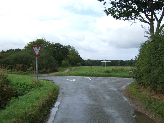
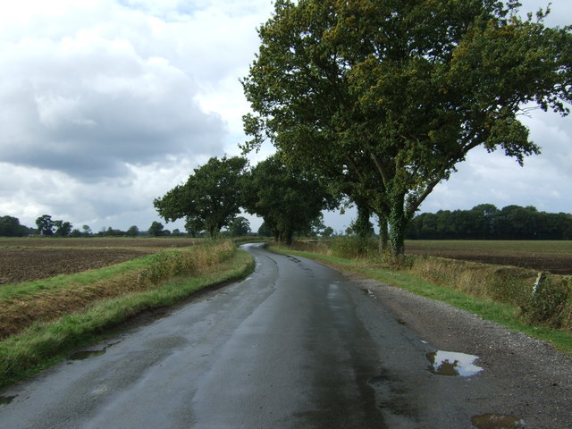
The plantation offers several walking trails, allowing visitors to explore its natural wonders at their own pace. These trails are well-maintained and provide information boards, guiding visitors through the plantation and providing insights into the surrounding ecosystem.
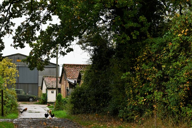
Dale Plantation is a popular destination for outdoor activities such as hiking, nature photography, and picnicking. The serene atmosphere and breathtaking scenery make it an ideal location for those seeking solace in nature.
If you have any feedback on the listing, please let us know in the comments section below.
Dale Plantation Images
Images are sourced within 2km of 52.46309/1.2464103 or Grid Reference TM2089. Thanks to Geograph Open Source API. All images are credited.


Dale Plantation is located at Grid Ref: TM2089 (Lat: 52.46309, Lng: 1.2464103)
Administrative County: Norfolk
District: South Norfolk
Police Authority: Norfolk
What 3 Words
///comically.renovated.visitors. Near Long Stratton, Norfolk
Nearby Locations
Related Wikis
Pulham Market Big Wood
Pulham Market Big Wood is a 4.7-hectare (12-acre) biological Site of Special Scientific Interest south of Long Stratton in Norfolk.This ancient coppice...
Manor Farm, Pulham Market
Manor Farm, a property of the Landmark Trust, is at Pulham Market near the town of Diss, in Norfolk, England. The house is a Grade II listed building....

Shelton and Hardwick
Shelton and Hardwick is a civil parish in South Norfolk, England, made up of the villages of Shelton and Hardwick. It lies about 3 km south-east of Long...

Shelton Hall (Norfolk)
Shelton Hall is a large estate in the village of Shelton, Norfolk, England. The estate has around 72 acres (290,000 m2) of surrounding fields, the names...

Fritton Common, Morningthorpe
Fritton Common, Morningthorpe is a 20.5-hectare (51-acre) biological Site of Special Scientific Interest east of Long Stratton in Norfolk.This damp acidic...

Long Stratton
Long Stratton is a town and civil parish in Norfolk, England. It historically consisted of two villages; the larger, Stratton St. Mary, is to the south...
Wacton, Norfolk
Wacton is a village in the English county of Norfolk. It is located about one mile south-west of Long Stratton and 13 miles (21 km) south west of Norwich...
Long Stratton High School
Long Stratton High School is a secondary school located in the town of Long Stratton in the English county of Norfolk. It educates children from ages...
Nearby Amenities
Located within 500m of 52.46309,1.2464103Have you been to Dale Plantation?
Leave your review of Dale Plantation below (or comments, questions and feedback).