Bales' Plantation
Wood, Forest in Norfolk South Norfolk
England
Bales' Plantation
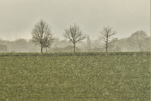
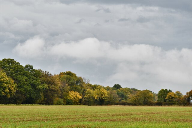
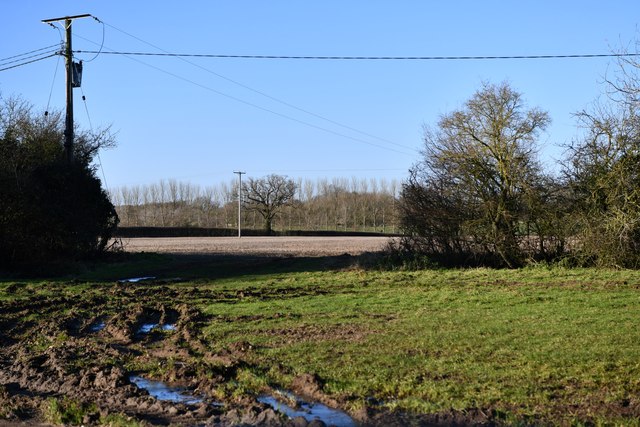
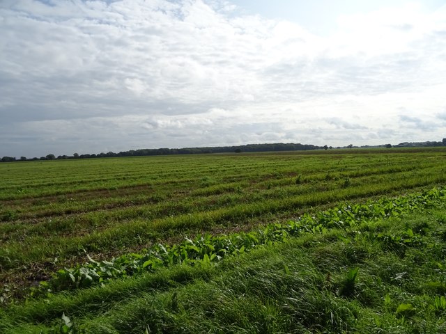
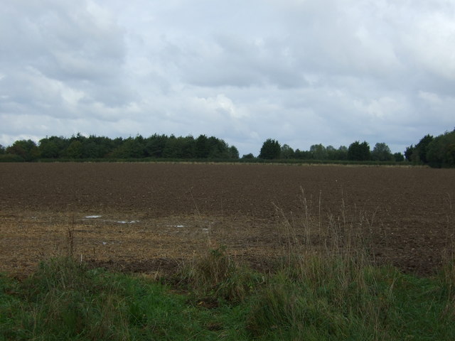
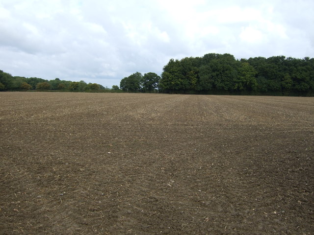
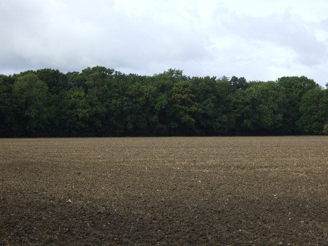
Bales' Plantation, located in Norfolk, is a sprawling wood and forest area that spans approximately 200 acres. It is a picturesque and serene natural space that attracts visitors and nature enthusiasts from all around. The plantation is situated in a region known for its rich biodiversity and is home to various species of plants and animals.
The woodlands of Bales' Plantation are primarily composed of mature trees, including oak, beech, and pine. These tall and majestic trees provide a lush green canopy, creating a soothing and peaceful atmosphere. The forest floor is covered with a diverse array of flora, including ferns, wildflowers, and mosses, adding to the enchanting beauty of the plantation.
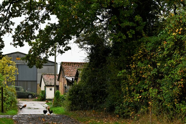
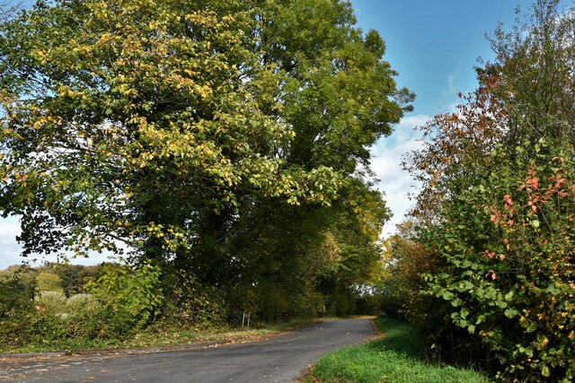
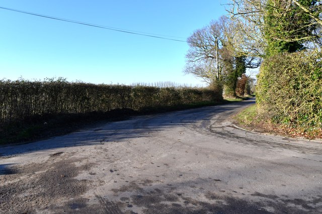
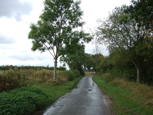
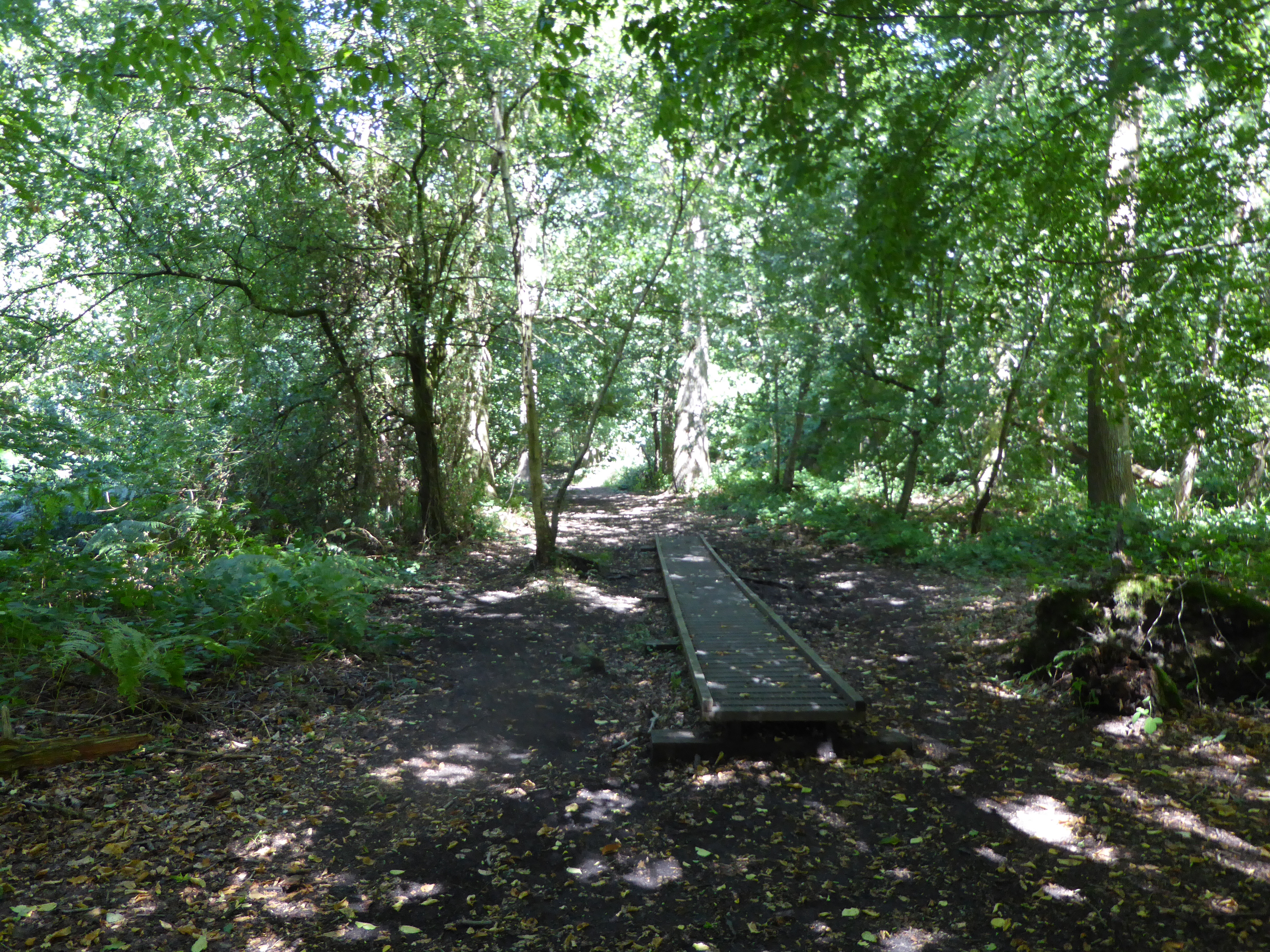
The plantation is crisscrossed by numerous trails and pathways, allowing visitors to explore and immerse themselves in the natural surroundings. These trails are well-maintained, making it easy for hikers and nature lovers to navigate through the plantation. The trails lead to various points of interest, such as scenic overlooks, tranquil streams, and small ponds, which are popular for birdwatching and wildlife observation.
Bales' Plantation also serves as a habitat for a wide range of wildlife. Visitors may spot deer, squirrels, rabbits, and a variety of bird species while exploring the area. The plantation is known for its efforts in wildlife conservation and preservation, making it a haven for both common and rare species.
Overall, Bales' Plantation in Norfolk is a haven of natural beauty, providing a peaceful retreat for visitors seeking to reconnect with nature. Its diverse flora and fauna, well-maintained trails, and serene atmosphere make it a beloved destination for nature enthusiasts and a valuable ecological asset to the region.
If you have any feedback on the listing, please let us know in the comments section below.
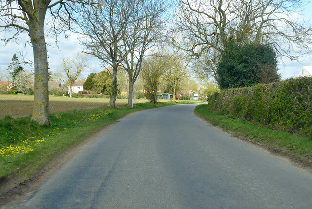
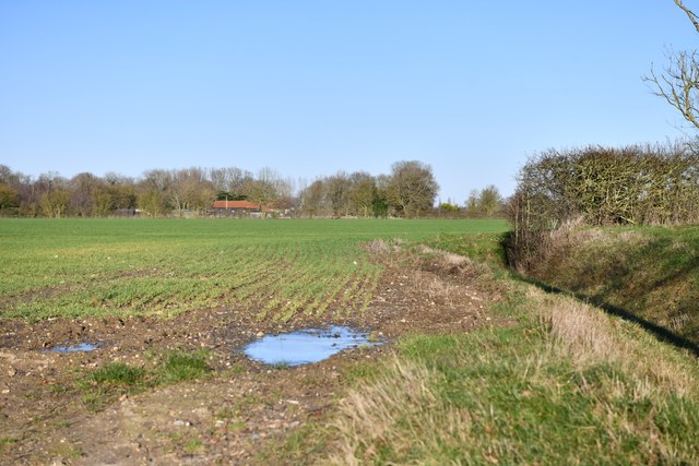
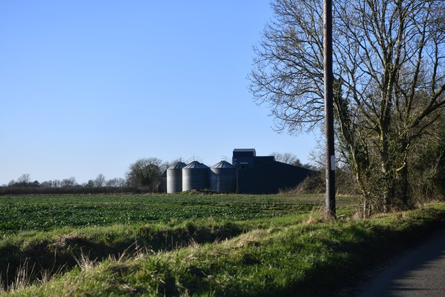
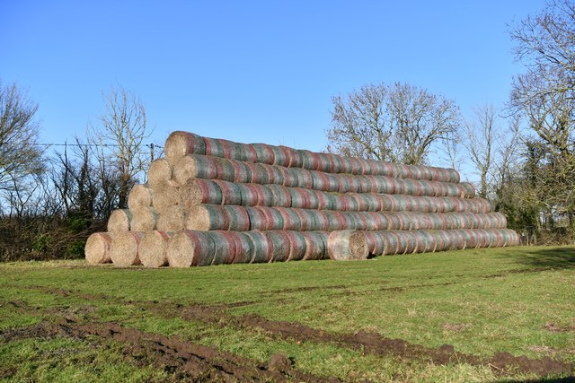
Bales' Plantation Images
Images are sourced within 2km of 52.458923/1.2494604 or Grid Reference TM2089. Thanks to Geograph Open Source API. All images are credited.
Bales' Plantation is located at Grid Ref: TM2089 (Lat: 52.458923, Lng: 1.2494604)
Administrative County: Norfolk
District: South Norfolk
Police Authority: Norfolk
What 3 Words
///carbonate.alongside.needed. Near Long Stratton, Norfolk
Nearby Locations
Related Wikis
Pulham Market Big Wood
Pulham Market Big Wood is a 4.7-hectare (12-acre) biological Site of Special Scientific Interest south of Long Stratton in Norfolk. This ancient coppice...
Manor Farm, Pulham Market
Manor Farm, a property of the Landmark Trust, is at Pulham Market near the town of Diss, in Norfolk, England. The house is a Grade II listed building....

Shelton and Hardwick
Shelton and Hardwick is a civil parish in South Norfolk, England, made up of the villages of Shelton and Hardwick. It lies about 3 km south-east of Long...

Shelton Hall (Norfolk)
Shelton Hall is a large estate in the village of Shelton, Norfolk, England. The estate has around 72 acres (290,000 m2) of surrounding fields, the names...
Nearby Amenities
Located within 500m of 52.458923,1.2494604Have you been to Bales' Plantation?
Leave your review of Bales' Plantation below (or comments, questions and feedback).