Dodd's Hole
Wood, Forest in Norfolk South Norfolk
England
Dodd's Hole
Dodd's Hole, located in Norfolk, is a picturesque wood or forest area famed for its natural beauty and tranquil ambiance. Situated in the eastern part of England, Norfolk is known for its vast countryside, and Dodd's Hole is no exception. The wood covers a considerable area, providing a haven for nature enthusiasts and those seeking solace amidst the lush greenery.
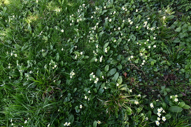
The woodland is abundant with various species of trees, including oak, beech, and ash, creating a dense canopy that offers shade and protection to the diverse flora and fauna that call Dodd's Hole home. The forest floor is adorned with a vibrant carpet of wildflowers, adding a splash of color to the surroundings.
The serenity of Dodd's Hole is enhanced by the gentle babbling of a stream that runs through the wood, providing a soothing soundtrack as visitors explore the area. The stream is also home to a variety of aquatic life, including small fish and insects, further enriching the ecosystem.
Walking trails wind their way through the wood, allowing visitors to immerse themselves in the natural wonders of Dodd's Hole. These paths provide an opportunity to observe the local wildlife, such as squirrels, rabbits, and a wide array of bird species, including woodpeckers and owls.
Dodd's Hole is not only a haven for nature lovers but also a popular destination for outdoor activities such as hiking, birdwatching, and photography. Its untouched beauty and tranquil atmosphere make it an ideal spot for individuals seeking a peaceful retreat in the heart of Norfolk's countryside.
If you have any feedback on the listing, please let us know in the comments section below.
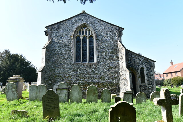
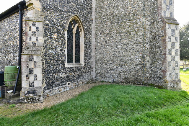
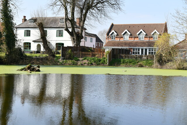
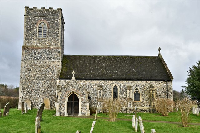
Dodd's Hole Images
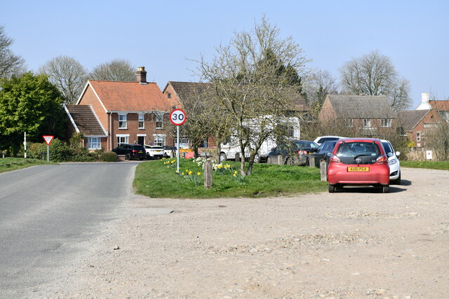
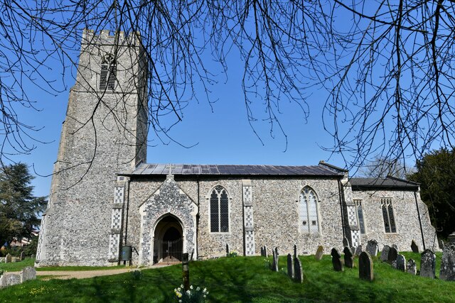
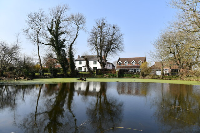
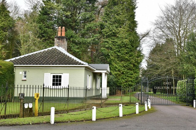
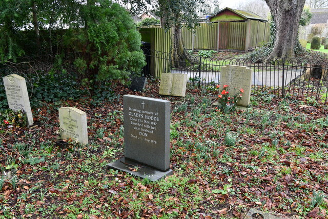
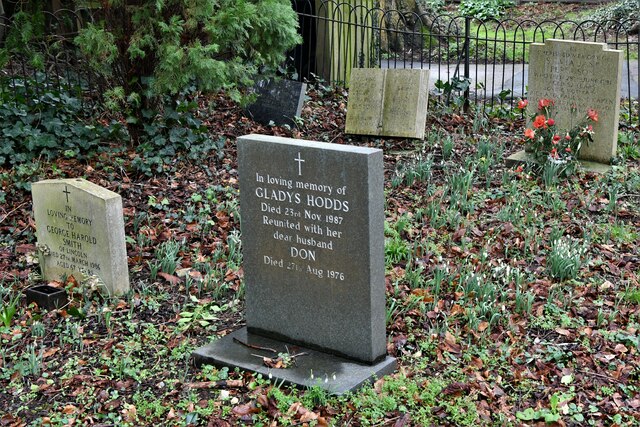
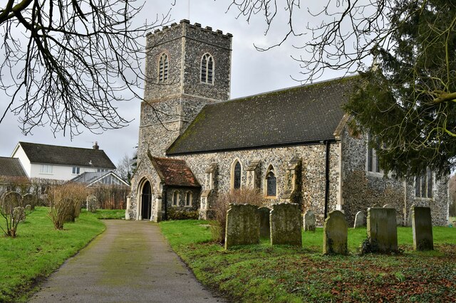
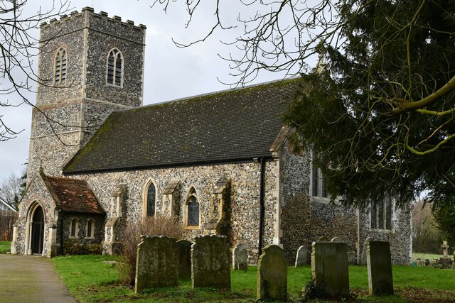
Images are sourced within 2km of 52.579457/1.226101 or Grid Reference TG1802. Thanks to Geograph Open Source API. All images are credited.
Dodd's Hole is located at Grid Ref: TG1802 (Lat: 52.579457, Lng: 1.226101)
Administrative County: Norfolk
District: South Norfolk
Police Authority: Norfolk
What 3 Words
///farmer.latitudes.exhaling. Near Mulbarton, Norfolk
Nearby Locations
Related Wikis

Mulbarton, Norfolk
Mulbarton is a village and civil parish located south of Norwich in the English county of Norfolk. It covers an area of 5.34 km2 (2.06 sq mi). The place...

East Carleton
East Carleton is a village and civil parish in the English county of Norfolk. The village is located 6.3 kilometres (3.9 mi) east of nearby Wymondham and...

Swardeston
Swardeston is a village four miles (6 km) south of Norwich in Norfolk, England, on high ground above the Tas valley. It covers an area of 3.95 km2 (1.53...

Intwood
Intwood is a village and former civil parish, now in the parish of Keswick and Intwood, in the South Norfolk district, in the county of Norfolk, England...
Nearby Amenities
Located within 500m of 52.579457,1.226101Have you been to Dodd's Hole?
Leave your review of Dodd's Hole below (or comments, questions and feedback).