North Drive Wood
Wood, Forest in Norfolk South Norfolk
England
North Drive Wood
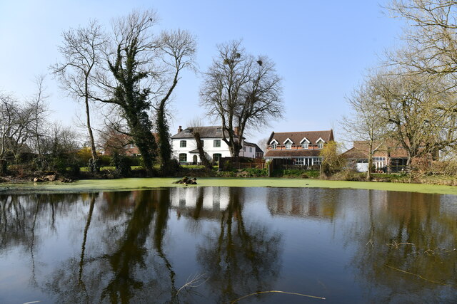
North Drive Wood is a picturesque forest located in Norfolk, England. Covering an area of approximately 100 acres, it is a popular destination for nature enthusiasts and outdoor adventurers alike. The wood is situated near the village of North Drive, and its convenient location makes it easily accessible for visitors.
The wood is characterized by its dense canopy of trees, including oak, beech, and birch. These towering trees provide a habitat for a diverse range of wildlife, making it a haven for birdwatchers and animal lovers. Visitors can spot various species of birds, such as woodpeckers, tawny owls, and jays, as well as small mammals like squirrels and hedgehogs.
North Drive Wood offers a network of well-maintained trails, allowing visitors to explore its natural beauty on foot or by bike. The trails wind through the forest, providing opportunities to discover hidden glades, tranquil ponds, and vibrant wildflower meadows. The wood is particularly enchanting during spring, when the forest floor is carpeted with bluebells, adding a splash of color to the landscape.
The wood is managed by the local authority, who ensure the preservation of its natural beauty and biodiversity. They also organize educational programs and guided walks for schools and community groups, promoting environmental awareness and appreciation for nature.
In summary, North Drive Wood is a captivating forest in Norfolk, offering a range of outdoor activities and a chance to immerse oneself in the wonders of nature. With its diverse wildlife, well-maintained trails, and stunning scenery, it is a must-visit destination for anyone seeking a peaceful and enriching experience in nature.
If you have any feedback on the listing, please let us know in the comments section below.
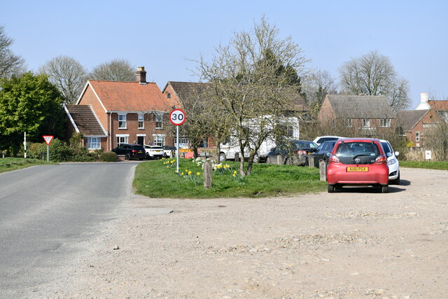
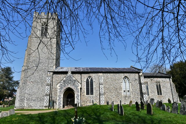
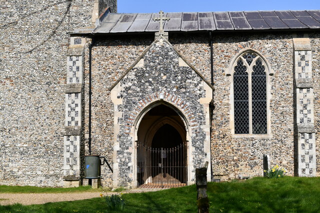
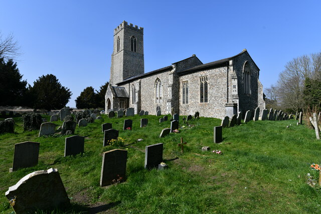
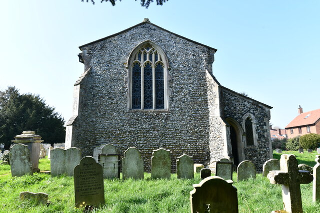
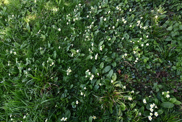
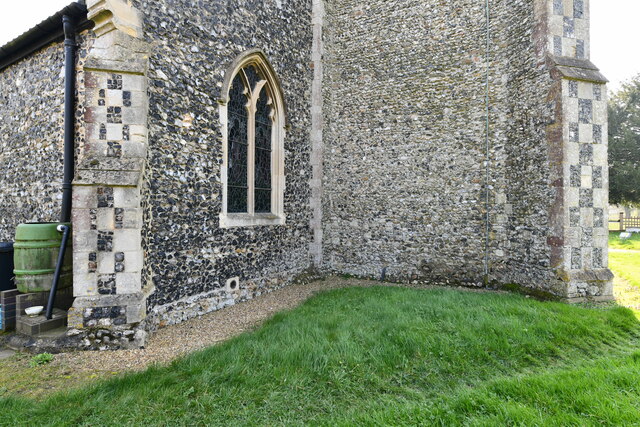
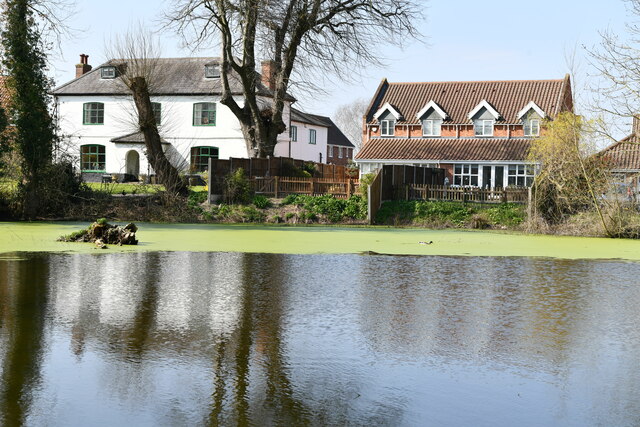
North Drive Wood Images
Images are sourced within 2km of 52.57567/1.2231508 or Grid Reference TG1802. Thanks to Geograph Open Source API. All images are credited.

North Drive Wood is located at Grid Ref: TG1802 (Lat: 52.57567, Lng: 1.2231508)
Administrative County: Norfolk
District: South Norfolk
Police Authority: Norfolk
What 3 Words
///measuring.positions.testers. Near Mulbarton, Norfolk
Nearby Locations
Related Wikis

East Carleton
East Carleton is a village and civil parish in the English county of Norfolk. The village is located 6.3 kilometres (3.9 mi) east of nearby Wymondham and...

Mulbarton, Norfolk
Mulbarton is a village and civil parish located south of Norwich in the English county of Norfolk. It covers an area of 5.34 km2 (2.06 sq mi). The place...

Mulbarton Wanderers F.C.
Mulbarton Wanderers Football Club is a football club based in Mulbarton, Norfolk. The men's first team are currently members in the Eastern Counties League...

Swardeston
Swardeston is a village four miles (6 km) south of Norwich in Norfolk, England, on high ground above the Tas valley. It covers an area of 3.95 km2 (1.53...
Nearby Amenities
Located within 500m of 52.57567,1.2231508Have you been to North Drive Wood?
Leave your review of North Drive Wood below (or comments, questions and feedback).