Church Wood
Wood, Forest in Norfolk South Norfolk
England
Church Wood
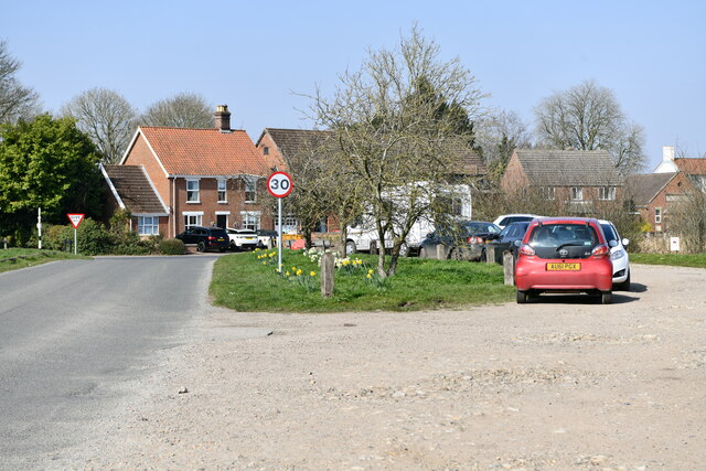
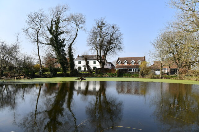
Church Wood is a picturesque woodland located in Norfolk, England. Spread across an area of approximately 50 acres, this enchanting forest is known for its abundant natural beauty and diverse flora and fauna. It is nestled near the village of Snettisham, making it easily accessible for visitors.
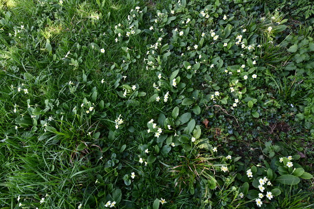
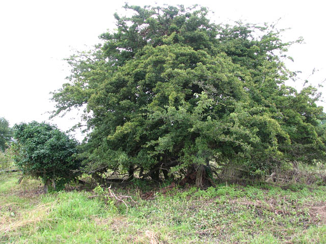
The woodland is predominantly composed of native tree species such as oak, beech, and birch, which create a dense canopy that allows only dappled sunlight to filter through. This creates a tranquil and serene atmosphere, perfect for those seeking solace in nature. The forest floor is carpeted with a rich variety of wildflowers, including bluebells, primroses, and wood anemones, which bloom in a riot of colors during the spring season.
Church Wood is also home to a myriad of wildlife, making it a haven for nature enthusiasts and birdwatchers. Visitors may catch glimpses of various bird species such as nightingales, woodpeckers, and tawny owls. Additionally, the woodland provides a habitat for small mammals like foxes, badgers, and rabbits.
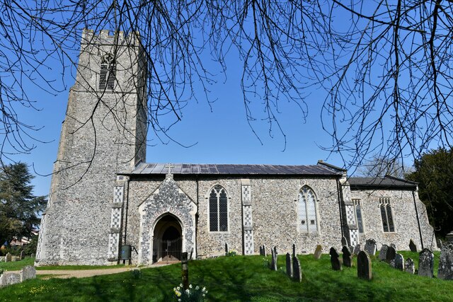
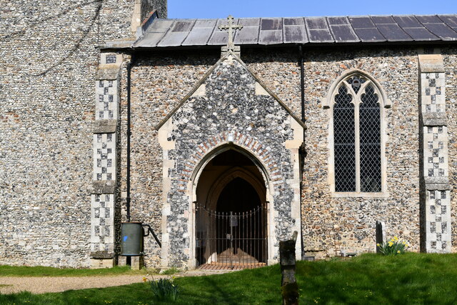
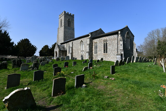
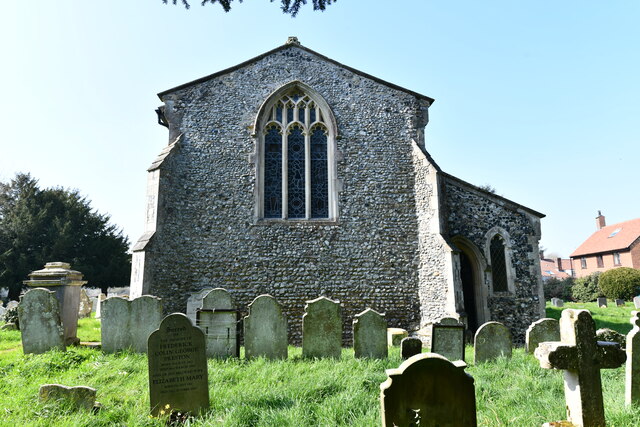
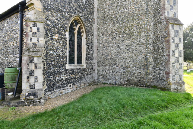
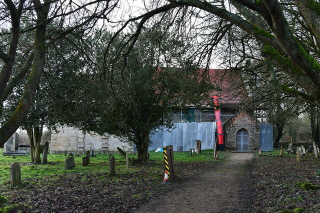
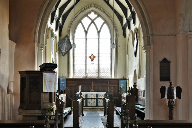
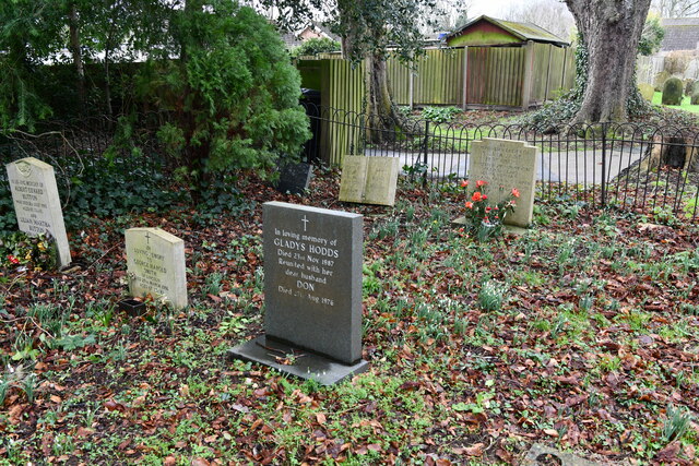
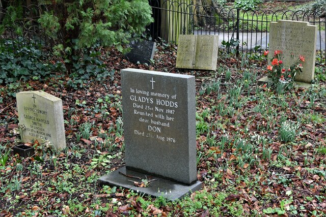
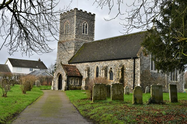
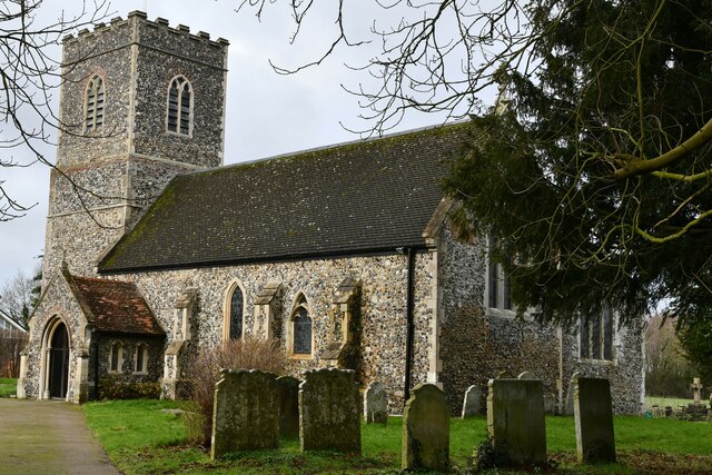
The woodland is crisscrossed by a network of well-maintained footpaths, allowing visitors to explore and immerse themselves in its natural splendor. The paths lead to a charming old church, after which the wood is named. This quaint church, with its historic architecture, adds a touch of mystique to the surrounding woodland.
Church Wood, Norfolk is a hidden gem that offers a tranquil retreat from the hustle and bustle of everyday life. Whether one seeks a peaceful stroll, a birdwatching adventure, or simply a place to connect with nature, this enchanting forest is a must-visit destination.
If you have any feedback on the listing, please let us know in the comments section below.
Church Wood Images
Images are sourced within 2km of 52.572774/1.2185247 or Grid Reference TG1802. Thanks to Geograph Open Source API. All images are credited.

Church Wood is located at Grid Ref: TG1802 (Lat: 52.572774, Lng: 1.2185247)
Administrative County: Norfolk
District: South Norfolk
Police Authority: Norfolk
What 3 Words
///underline.debate.rumble. Near Hethel, Norfolk
Nearby Locations
Related Wikis

East Carleton
East Carleton is a village and civil parish in the English county of Norfolk. The village is located 6.3 kilometres (3.9 mi) east of nearby Wymondham and...

Mulbarton, Norfolk
Mulbarton is a village and civil parish located south of Norwich in the English county of Norfolk. It covers an area of 5.34 km2 (2.06 sq mi).The place...

Mulbarton Wanderers F.C.
Mulbarton Wanderers Football Club is a football club based in Mulbarton, Norfolk. The men's first team are currently members in the Eastern Counties League...

Ketteringham
Ketteringham is a village and civil parish in the English county of Norfolk. The parish covers an area of 6.50 km2 (2.51 sq mi) and had a population of...
Hethel Old Thorn
Hethel Old Thorn is a 0.025-hectare (0.062-acre) nature reserve south-west of Norwich in Norfolk. It is managed by the Norfolk Wildlife Trust.This is...

Forehoe and Henstead Rural District
Forehoe and Henstead Rural Districts were adjacent rural districts in Norfolk, England from 1894 to 1935.They were formed under the Local Government Act...

Bracon Ash
Bracon Ash is a village and civil parish in the South Norfolk district of Norfolk, England. == History == Bracon Ash's name is of Anglo-Saxon origin and...

Swardeston
Swardeston is a village four miles (6 km) south of Norwich in Norfolk, England, on high ground above the Tas valley. It covers an area of 3.95 km2 (1.53...
Nearby Amenities
Located within 500m of 52.572774,1.2185247Have you been to Church Wood?
Leave your review of Church Wood below (or comments, questions and feedback).