Baldwin's Wood
Wood, Forest in Norfolk South Norfolk
England
Baldwin's Wood
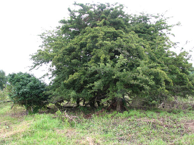
Baldwin's Wood is a picturesque woodland located in Norfolk, England. Covering an area of approximately 100 acres, this enchanting forest is known for its natural beauty and diverse wildlife.
The wood is predominantly made up of native broadleaf trees such as oak, beech, and birch, which create a dense canopy overhead, offering a cool and tranquil environment. Walking through the wood, visitors are treated to a symphony of bird songs and the rustling of leaves underfoot. This serene ambiance makes Baldwin's Wood a popular spot for nature lovers, hikers, and birdwatchers.
The forest floor is rich with a variety of flora, including bluebells, wild garlic, and various ferns, adding to the wood's charm and providing a haven for numerous species of insects and small animals. The wood is also home to larger mammals such as deer, foxes, and rabbits, making it an important habitat for the local ecosystem.
Baldwin's Wood has a network of well-maintained footpaths, allowing visitors to explore its splendor at their own pace. These paths lead to hidden clearings, small ponds, and ancient trees, providing opportunities for quiet reflection and enjoying the beauty of nature.
The wood is open to the public year-round, with admission being free. It is maintained by local conservation volunteers who work tirelessly to preserve its natural heritage. Baldwin's Wood is not only a place of great natural beauty but also a valuable resource for education and research, attracting botanists, ecologists, and wildlife enthusiasts from far and wide.
If you have any feedback on the listing, please let us know in the comments section below.
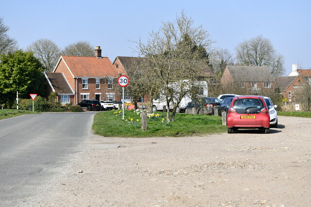
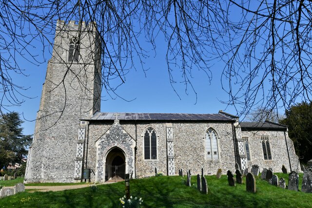
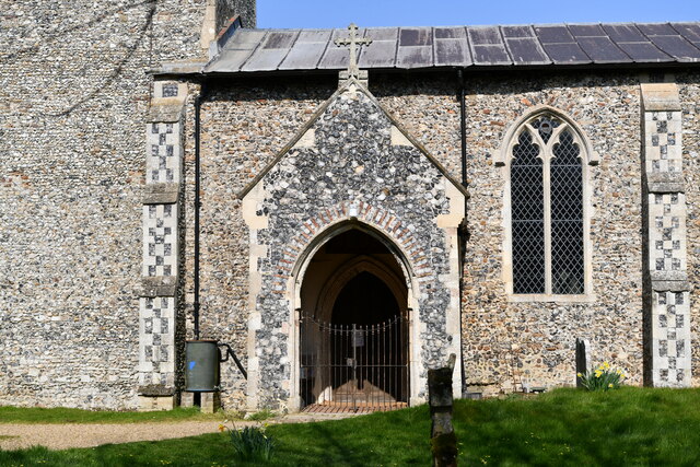
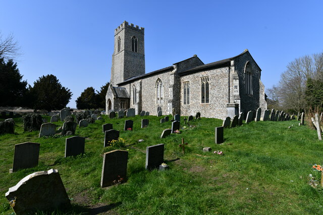
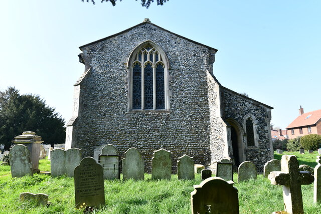
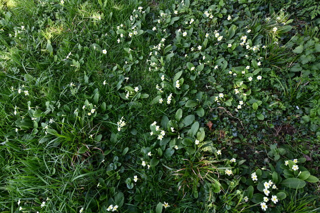
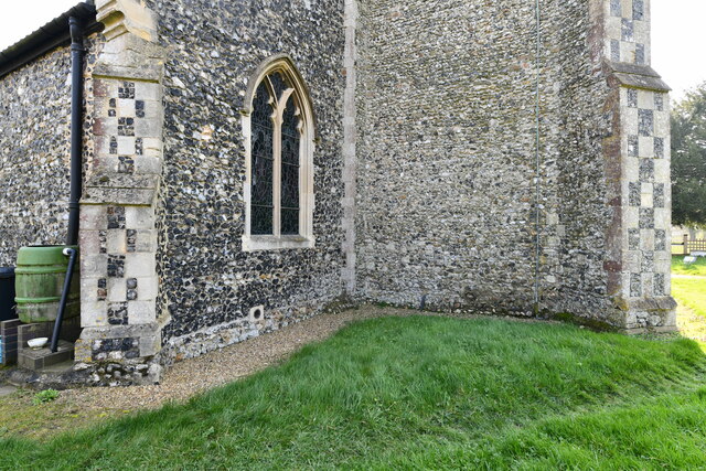
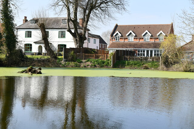
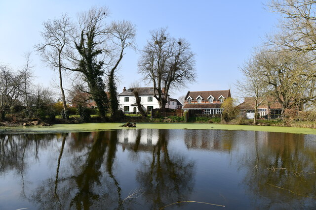
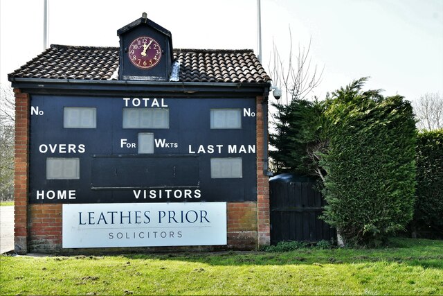
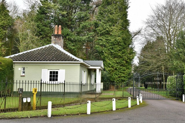
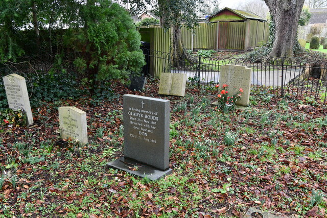
Baldwin's Wood Images
Images are sourced within 2km of 52.576084/1.2165234 or Grid Reference TG1802. Thanks to Geograph Open Source API. All images are credited.
Baldwin's Wood is located at Grid Ref: TG1802 (Lat: 52.576084, Lng: 1.2165234)
Administrative County: Norfolk
District: South Norfolk
Police Authority: Norfolk
What 3 Words
///weeps.crossword.scrap. Near Hethel, Norfolk
Nearby Locations
Related Wikis

East Carleton
East Carleton is a village and civil parish in the English county of Norfolk. The village is located 6.3 kilometres (3.9 mi) east of nearby Wymondham and...

Mulbarton, Norfolk
Mulbarton is a village and civil parish located south of Norwich in the English county of Norfolk. It covers an area of 5.34 km2 (2.06 sq mi).The place...

Ketteringham
Ketteringham is a village and civil parish in the English county of Norfolk. The parish covers an area of 6.50 km2 (2.51 sq mi) and had a population of...

Forehoe and Henstead Rural District
Forehoe and Henstead Rural Districts were adjacent rural districts in Norfolk, England from 1894 to 1935.They were formed under the Local Government Act...

Hethersett railway station
Hethersett was a railway station near Hethersett, Norfolk. == History == The Bill for the Norwich & Brandon Railway (N&BR) received Royal Assent on 10...

Mulbarton Wanderers F.C.
Mulbarton Wanderers Football Club is a football club based in Mulbarton, Norfolk. The men's first team are currently members in the Eastern Counties League...
Hethel Old Thorn
Hethel Old Thorn is a 0.025-hectare (0.062-acre) nature reserve south-west of Norwich in Norfolk. It is managed by the Norfolk Wildlife Trust.This is...

Swardeston
Swardeston is a village four miles (6 km) south of Norwich in Norfolk, England, on high ground above the Tas valley. It covers an area of 3.95 km2 (1.53...
Nearby Amenities
Located within 500m of 52.576084,1.2165234Have you been to Baldwin's Wood?
Leave your review of Baldwin's Wood below (or comments, questions and feedback).