West Grove
Wood, Forest in Essex Tendring
England
West Grove
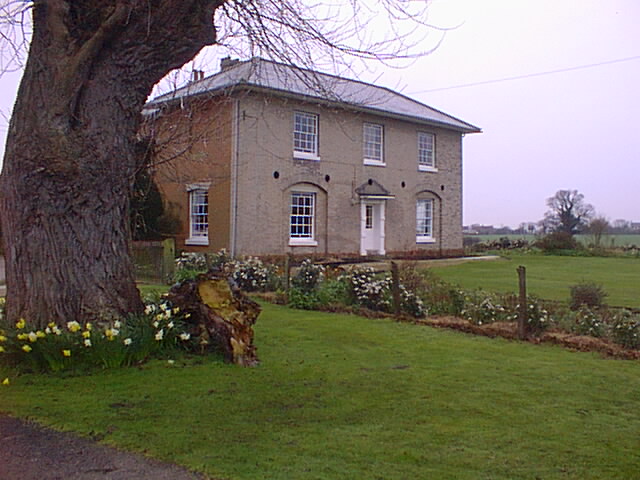
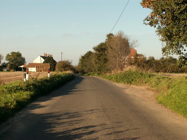
West Grove, Essex (Wood, Forest) is a charming village located in the county of Essex, England. Nestled amidst the lush landscapes of the county, this idyllic village is known for its picturesque beauty and tranquil surroundings. With a population of approximately 1,000 residents, it offers a close-knit community atmosphere that is highly cherished by its inhabitants.
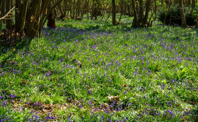
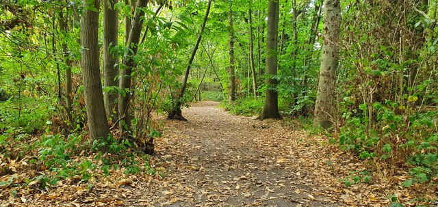
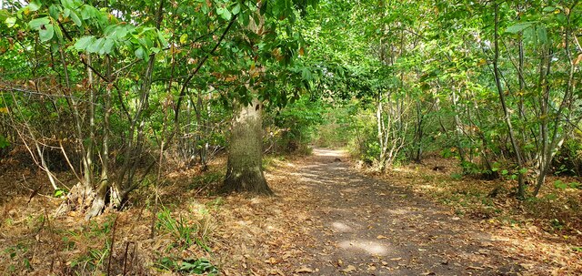
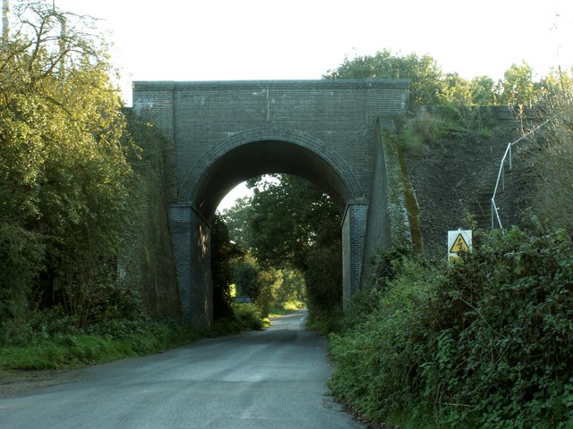
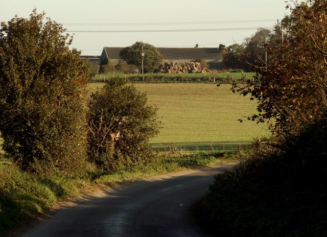
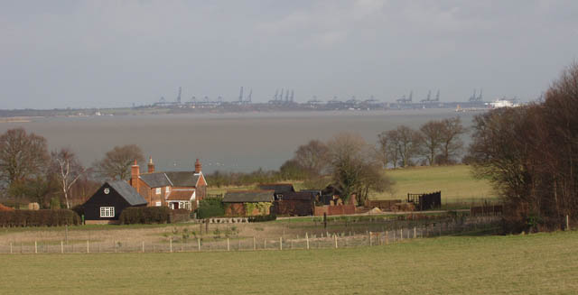
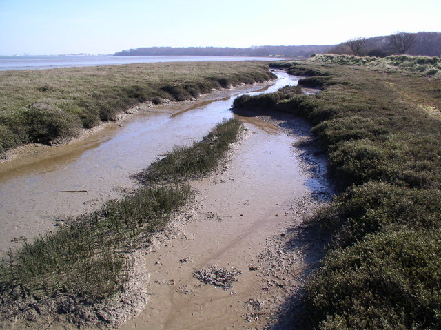
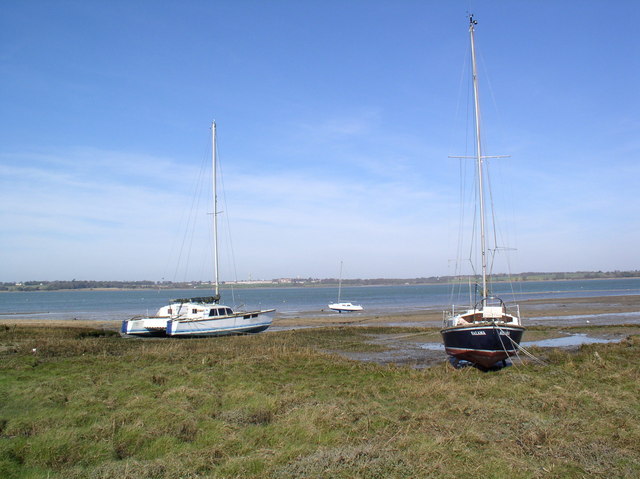
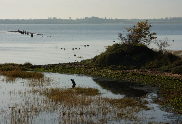
The village is surrounded by dense woodlands and enchanting forests, providing a haven for nature lovers and outdoor enthusiasts. The stunning scenery is complemented by a range of wildlife, including various bird species and small mammals, adding to the area's natural charm.
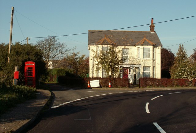
West Grove boasts a rich historical heritage, with evidence of human settlement dating back to ancient times. The village is home to several historical landmarks, including a centuries-old church that stands as a testament to its past. These historical sites serve as a reminder of the village's significance in the region's history.
Residents and visitors have access to a range of amenities within the village, including a local pub, a village hall, and a small convenience store. For additional amenities, the nearby town of Essex offers a wider array of shops, restaurants, and recreational facilities.
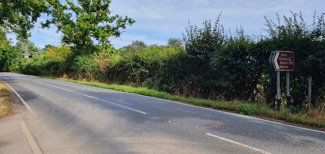
The village also benefits from excellent transportation links, with easy access to major roadways, making it convenient for commuters and those wishing to explore the surrounding areas. Additionally, public transportation options are available for those who prefer not to drive.
In summary, West Grove, Essex (Wood, Forest) offers a serene and picturesque setting, with its lush woodlands, historical sites, and close-knit community. It provides an ideal retreat for those seeking a peaceful and nature-filled lifestyle.
If you have any feedback on the listing, please let us know in the comments section below.
West Grove Images
Images are sourced within 2km of 51.943376/1.1711452 or Grid Reference TM1831. Thanks to Geograph Open Source API. All images are credited.


West Grove is located at Grid Ref: TM1831 (Lat: 51.943376, Lng: 1.1711452)
Administrative County: Essex
District: Tendring
Police Authority: Essex
What 3 Words
///newsprint.factories.abolish. Near Holbrook, Suffolk
Nearby Locations
Related Wikis

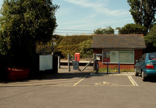
Wrabness railway station
Wrabness railway station is on the Mayflower Line, a branch of the Great Eastern Main Line in the East of England, serving the village of Wrabness, Essex...

Wrabness
Wrabness is a small village and civil parish near Manningtree, Essex, England. The village is located six miles (10 km) west of Harwich. Wrabness railway...
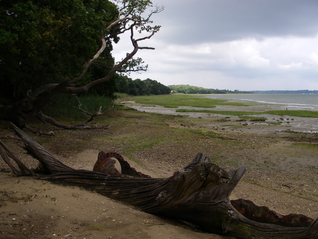
Stour Estuary
Stour Estuary is a 2,523 hectare biological and geological Site of Special Scientific Interest which stretches from Manningtree to Harwich in Essex and...

Stour Wood
Stour Wood is a woodland in Essex, England, near the village of Wrabness. It covers a total area of 54.07 hectares (133.61 acres). It is owned by the Woodland...

Stour and Copperas Woods, Ramsey
Stour and Copperas Woods, Ramsey is a 77.1-hectare (191-acre) biological Site of Special Scientific Interest between Wrabness and Ramsey in Essex. It is...

Stour Estuary RSPB reserve
The Stour Estuary is a nature reserve in Essex, England, east of Colchester on the estuary of the River Stour, managed by the Royal Society for the Protection...

Oakfield Wood
Oakfield Wood is a 2.8-hectare (6.9-acre) nature reserve west of Wrabness in Essex. It is managed by the Essex Wildlife Trust.This is former farmland which...
Priory Halt railway station
Priory Halt railway station served the district of Tendring, Essex, England, from 1920 to 1965 on the Mayflower Line. == History == The station opened...
Nearby Amenities
Located within 500m of 51.943376,1.1711452Have you been to West Grove?
Leave your review of West Grove below (or comments, questions and feedback).