Colehill Wood
Wood, Forest in Kent Canterbury
England
Colehill Wood

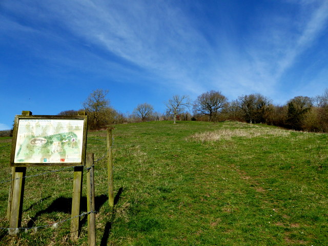
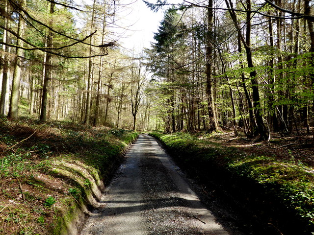
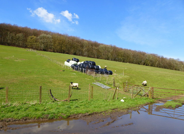
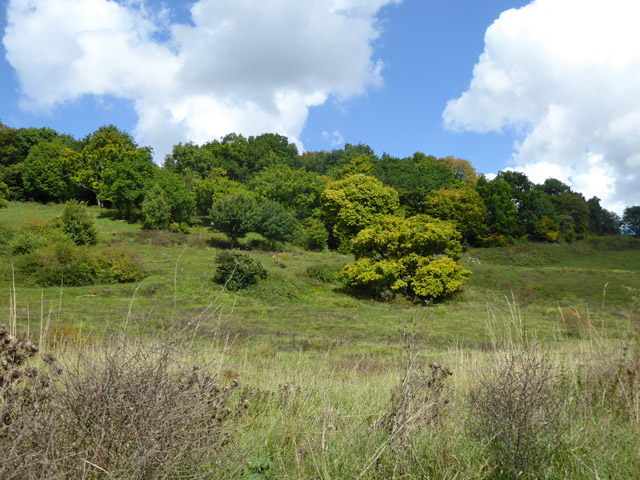
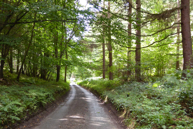
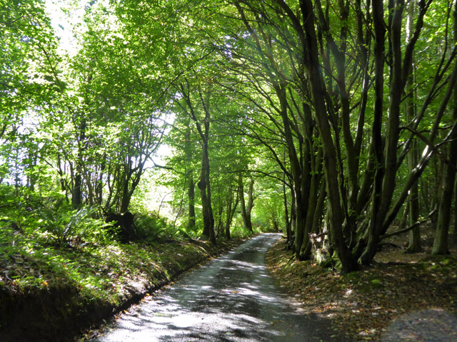
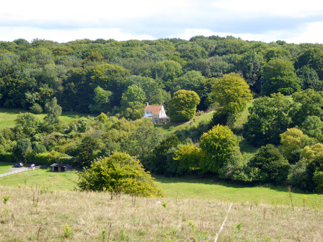
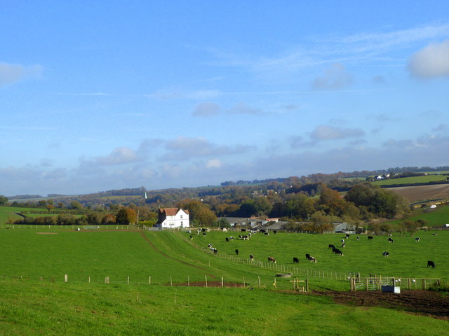
Colehill Wood is a picturesque woodland located in the county of Kent, England. Situated near the village of Colehill, this forested area covers an expanse of approximately 100 acres. The wood is predominantly composed of a variety of broadleaf trees, including oak, beech, and ash, creating a diverse and vibrant ecosystem.
The woodland is renowned for its natural beauty, with a rich carpet of bluebells adorning the forest floor in the springtime. This spectacle attracts visitors from near and far who come to witness the stunning display of color and fragrance. In addition to bluebells, the wood is also home to an array of other wildflowers, such as wood anemone and primrose, further enhancing its natural charm.
Colehill Wood offers a haven for wildlife, acting as a sanctuary for numerous species. Bird enthusiasts can spot a variety of feathered creatures, including woodpeckers, owls, and various songbirds, making it a popular spot for birdwatching. Other inhabitants of the woodland include squirrels, rabbits, and even the occasional deer, adding to the enchanting atmosphere.
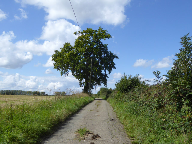
The wood provides ample opportunities for leisurely walks and nature exploration. There are well-maintained trails that wind through the forest, allowing visitors to immerse themselves in the tranquil surroundings. The wood is also a favored spot for picnicking and family outings, with designated areas providing picnic benches and open spaces for relaxation.
Overall, Colehill Wood in Kent offers a serene escape from the hustle and bustle of everyday life. Its natural beauty, diverse wildlife, and recreational opportunities make it a cherished destination for nature lovers and outdoor enthusiasts alike.
If you have any feedback on the listing, please let us know in the comments section below.
Colehill Wood Images
Images are sourced within 2km of 51.198802/1.1203852 or Grid Reference TR1849. Thanks to Geograph Open Source API. All images are credited.


Colehill Wood is located at Grid Ref: TR1849 (Lat: 51.198802, Lng: 1.1203852)
Administrative County: Kent
District: Canterbury
Police Authority: Kent
What 3 Words
///monk.lawful.quail. Near Barham, Kent
Nearby Locations
Related Wikis

Reed Mill, Kingston
Reed Mill is a tower mill in Kingston, Kent, England that was built in the early nineteenth century and worked until 1915, after which the mill was derelict...

Jumping Downs
Jumping Downs is a 5.7-hectare (14-acre) Local Nature Reserve near Aylesham, between Canterbury and Dover in Kent. It is owned by the Jumping Downs Trust...

Marley, Canterbury
Marley is a scattered hamlet in the civil parish of Kingston, in the county of Kent, England. The hamlet is on a minor road about 1 mile (1.6 km) southwest...
Heart's Delight, City of Canterbury
Heart's Delight is a settlement located near Barham in Kent, England. There is a similarly-known settlement near Sittingbourne in the Swale district of...
Bladbean
Bladbean is a scattered hamlet between Canterbury and Folkestone in Kent, England. It lies along a minor road east of Stelling Minnis. It is in the civil...
Breach, Kent
Breach is a small settlement in the Elham Valley about one mile (1.6 km) south of Barham(where, at the 2011 Census, the population was included) in Kent...

Lynsore Bottom
Lynsore Bottom is a 70.6-hectare (174-acre) biological Site of Special Scientific Interest north of Folkestone in Kent.These coppice with standards woods...

Barham railway station
Barham was a station on the Elham Valley Railway. It opened in 1887 and closed to passengers in 1940 and freight in 1947. == History == The station opened...
Nearby Amenities
Located within 500m of 51.198802,1.1203852Have you been to Colehill Wood?
Leave your review of Colehill Wood below (or comments, questions and feedback).