South Drive Wood
Wood, Forest in Norfolk South Norfolk
England
South Drive Wood
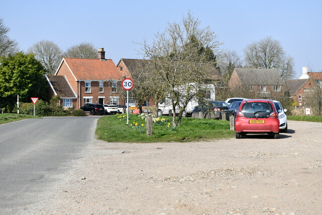
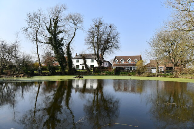
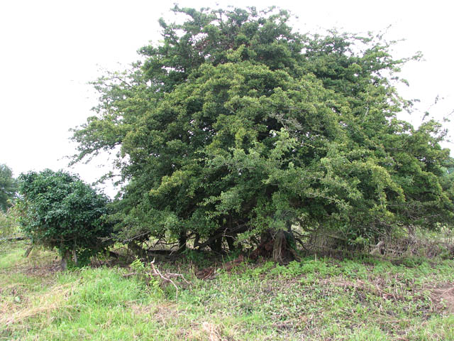
South Drive Wood is a picturesque woodland located in Norfolk, England. Situated near the village of South Drive, it covers an area of approximately 100 acres. The wood is part of the larger Norfolk Broads National Park, renowned for its natural beauty and diverse wildlife.
The wood is predominantly composed of native broadleaf trees, such as oak, beech, and ash, which provide a rich and varied habitat for numerous species. The canopy of the wood is dense and lush, creating a tranquil and peaceful atmosphere for visitors. The forest floor is covered in a thick layer of leaf litter, home to a plethora of insects, fungi, and small mammals.
South Drive Wood offers a network of well-maintained footpaths, allowing visitors to explore the area at their leisure. These paths wind through the trees, leading to hidden clearings, babbling streams, and small ponds. The wood is particularly popular with walkers, joggers, and nature enthusiasts who appreciate its serene beauty and the opportunity to observe wildlife in its natural habitat.
The wood is also home to a diverse range of bird species, including woodpeckers, owls, and warblers. Birdwatchers often visit the area in search of rare or migratory species. The wood's proximity to the Norfolk Broads also attracts waterfowl, such as ducks and swans, which can occasionally be spotted on the nearby waterways.
South Drive Wood is open to the public year-round and offers a peaceful retreat for those seeking solitude in nature. Its natural beauty, diverse wildlife, and well-maintained trails make it a popular destination for locals and tourists alike.
If you have any feedback on the listing, please let us know in the comments section below.
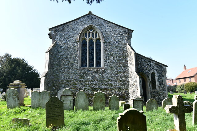
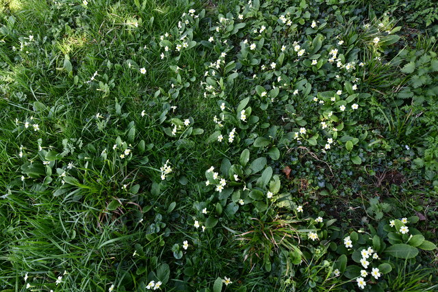
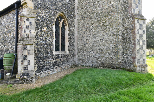
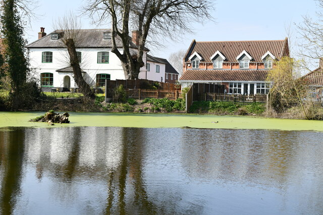
South Drive Wood Images
Images are sourced within 2km of 52.572722/1.2217536 or Grid Reference TG1802. Thanks to Geograph Open Source API. All images are credited.

South Drive Wood is located at Grid Ref: TG1802 (Lat: 52.572722, Lng: 1.2217536)
Administrative County: Norfolk
District: South Norfolk
Police Authority: Norfolk
What 3 Words
///quitter.lobster.activism. Near Hethel, Norfolk
Nearby Locations
Related Wikis

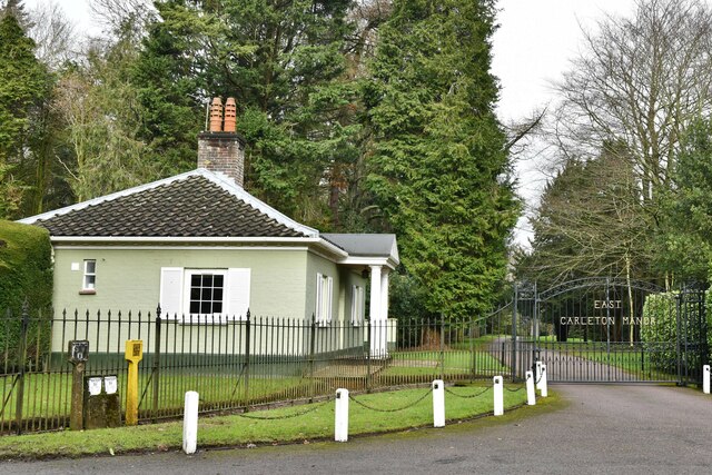
East Carleton
East Carleton is a village and civil parish in the English county of Norfolk. The village is located 6.3 kilometres (3.9 mi) east of nearby Wymondham and...

Mulbarton, Norfolk
Mulbarton is a village and civil parish located south of Norwich in the English county of Norfolk. It covers an area of 5.34 km2 (2.06 sq mi).The place...

Mulbarton Wanderers F.C.
Mulbarton Wanderers Football Club is a football club based in Mulbarton, Norfolk. The men's first team are currently members in the Eastern Counties League...

Bracon Ash
Bracon Ash is a village and civil parish in the South Norfolk district of Norfolk, England. == History == Bracon Ash's name is of Anglo-Saxon origin and...

Swardeston
Swardeston is a village four miles (6 km) south of Norwich in Norfolk, England, on high ground above the Tas valley. It covers an area of 3.95 km2 (1.53...
Hethel Old Thorn
Hethel Old Thorn is a 0.025-hectare (0.062-acre) nature reserve south-west of Norwich in Norfolk. It is managed by the Norfolk Wildlife Trust.This is...

Ketteringham
Ketteringham is a village and civil parish in the English county of Norfolk. The parish covers an area of 6.50 km2 (2.51 sq mi) and had a population of...

Forehoe and Henstead Rural District
Forehoe and Henstead Rural Districts were adjacent rural districts in Norfolk, England from 1894 to 1935.They were formed under the Local Government Act...
Nearby Amenities
Located within 500m of 52.572722,1.2217536Have you been to South Drive Wood?
Leave your review of South Drive Wood below (or comments, questions and feedback).