Folly Wood
Wood, Forest in Norfolk South Norfolk
England
Folly Wood
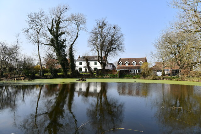
Folly Wood is a charming woodland located in Norfolk, England. Situated in close proximity to the village of Wood, this forested area spans approximately 100 acres and offers a tranquil escape for nature enthusiasts and outdoor lovers.
The wood is characterized by a diverse range of tree species, including oak, beech, and birch, which create a dense canopy overhead. The forest floor is carpeted with an array of wildflowers, ferns, and mosses, adding to the enchanting atmosphere. Folly Wood is also home to a variety of wildlife, such as deer, foxes, and numerous bird species, making it a popular spot for birdwatching and wildlife photography.
The wood features well-maintained pathways and footbridges that wind their way through the forest, allowing visitors to explore the area at their own pace. These trails offer scenic views of the surrounding landscape, including picturesque meadows and streams that meander through the wood.
Folly Wood is a popular destination for both locals and tourists seeking a peaceful retreat. Its location near the village of Wood provides easy access for visitors, who can enjoy picnicking, walking, or simply unwinding amidst nature's beauty. Additionally, the wood is often used for educational purposes, with school groups and nature enthusiasts taking part in guided tours and educational programs.
Overall, Folly Wood is a captivating woodland in Norfolk that offers a serene and picturesque setting, showcasing the beauty of nature in all its glory.
If you have any feedback on the listing, please let us know in the comments section below.
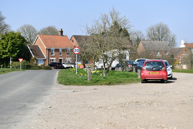
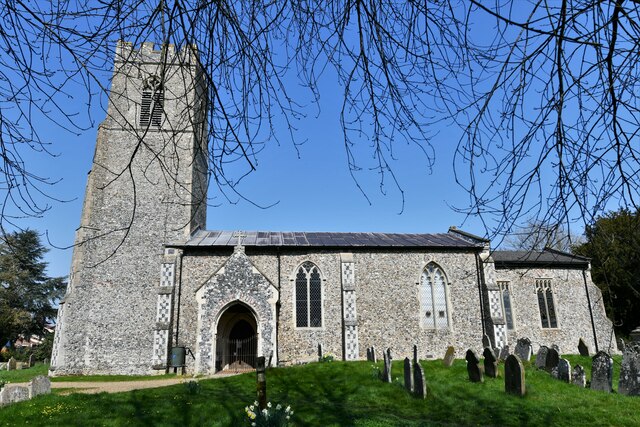
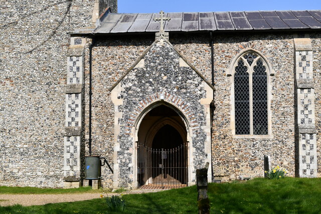
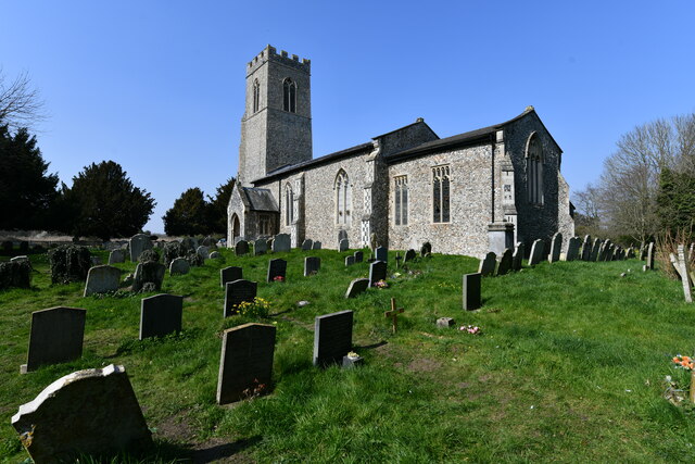
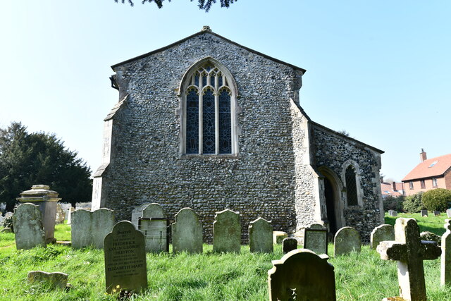
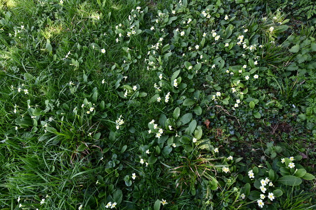
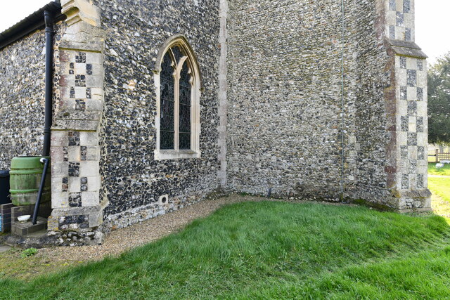
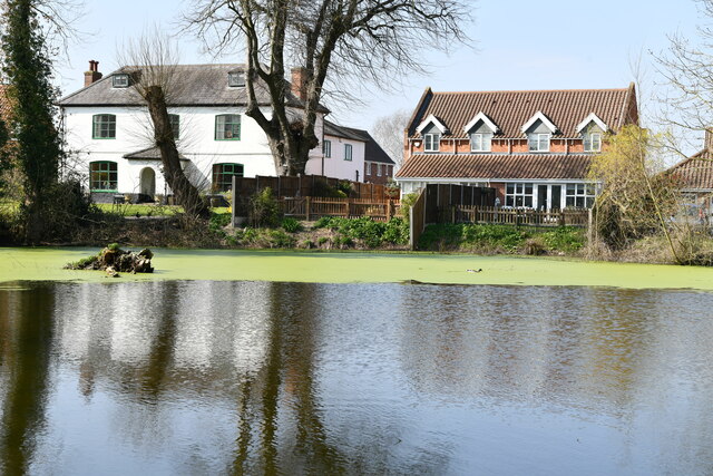
Folly Wood Images
Images are sourced within 2km of 52.576695/1.2251157 or Grid Reference TG1802. Thanks to Geograph Open Source API. All images are credited.

Folly Wood is located at Grid Ref: TG1802 (Lat: 52.576695, Lng: 1.2251157)
Administrative County: Norfolk
District: South Norfolk
Police Authority: Norfolk
What 3 Words
///steadily.eternally.happily. Near Mulbarton, Norfolk
Nearby Locations
Related Wikis

East Carleton
East Carleton is a village and civil parish in the English county of Norfolk. The village is located 6.3 kilometres (3.9 mi) east of nearby Wymondham and...

Mulbarton, Norfolk
Mulbarton is a village and civil parish located south of Norwich in the English county of Norfolk. It covers an area of 5.34 km2 (2.06 sq mi).The place...

Swardeston
Swardeston is a village four miles (6 km) south of Norwich in Norfolk, England, on high ground above the Tas valley. It covers an area of 3.95 km2 (1.53...

Mulbarton Wanderers F.C.
Mulbarton Wanderers Football Club is a football club based in Mulbarton, Norfolk. The men's first team are currently members in the Eastern Counties League...

Intwood
Intwood is a village and former civil parish, now in the parish of Keswick and Intwood, in the South Norfolk district, in the county of Norfolk, England...
Norwich CEYMS F.C.
Norwich Church of England Young Men's Society Football Club, commonly called Norwich CEYMS, is a football club based in Swardeston, near Norwich, in Norfolk...

Hethersett railway station
Hethersett was a railway station near Hethersett, Norfolk. == History == The Bill for the Norwich & Brandon Railway (N&BR) received Royal Assent on 10...

Ketteringham
Ketteringham is a village and civil parish in the English county of Norfolk. The parish covers an area of 6.50 km2 (2.51 sq mi) and had a population of...
Nearby Amenities
Located within 500m of 52.576695,1.2251157Have you been to Folly Wood?
Leave your review of Folly Wood below (or comments, questions and feedback).