Fair Lady Plantation

Wood, Forest in Norfolk North Norfolk

England

Fair Lady Plantation

East Runton Beach Lifeguard station at East Runton.
East Runton Beach Credit: Wayland Smith

Fair Lady Plantation is a picturesque woodland located in Norfolk, England. Spanning over a vast area, this plantation is renowned for its natural beauty and diverse flora and fauna. Nestled in the heart of the Norfolk countryside, it offers a tranquil sanctuary for nature enthusiasts and walkers alike.

The plantation is predominantly made up of a dense forest, characterized by a variety of tree species including oak, beech, and chestnut. These towering trees provide a canopy of shade, creating a cool and refreshing atmosphere within the woodland. Underneath this lush greenery, a rich undergrowth of ferns, wildflowers, and mosses thrive, adding to the enchanting ambiance of the plantation.

Fair Lady Plantation is home to a wide range of wildlife. Birdwatchers can spot a plethora of bird species, including woodpeckers, owls, and thrushes, while small mammals such as squirrels, badgers, and foxes can also be sighted. The plantation also boasts a diverse insect population, with butterflies and dragonflies fluttering around the wildflowers during the warmer months.

The plantation is crisscrossed with a network of well-maintained walking paths, allowing visitors to explore this natural haven at their own pace. Along these trails, benches and picnic areas are strategically placed for visitors to rest and enjoy the serenity of their surroundings.

Fair Lady Plantation invites visitors to immerse themselves in its natural beauty, providing an ideal destination for those seeking solace in nature or simply looking to escape the bustling city life. With its captivating woodland and abundant wildlife, this plantation offers a truly remarkable experience for nature enthusiasts and lovers of the great outdoors.

If you have any feedback on the listing, please let us know in the comments section below.

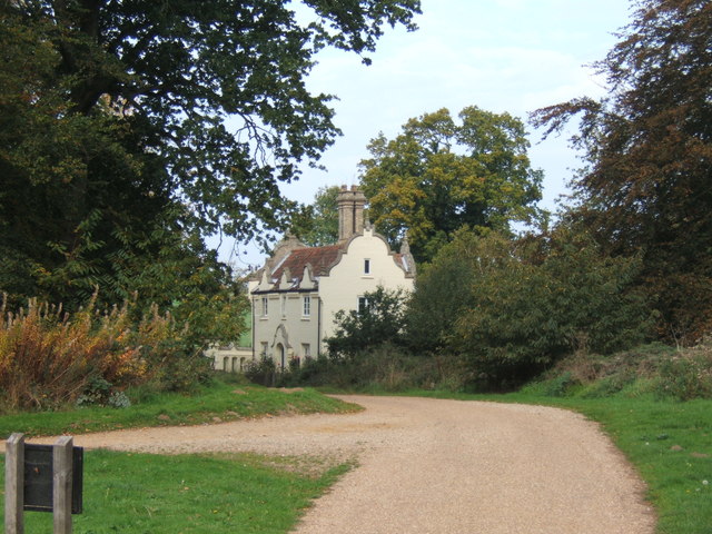
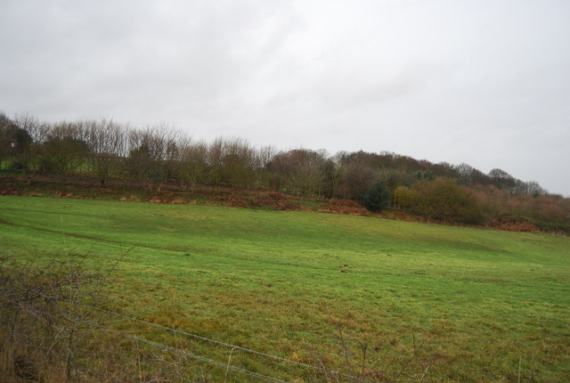
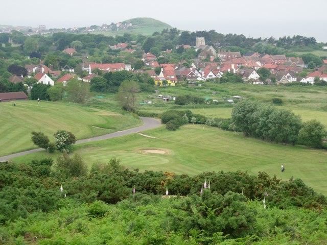
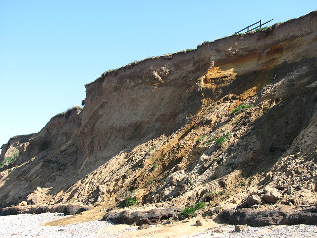
Fair Lady Plantation Images

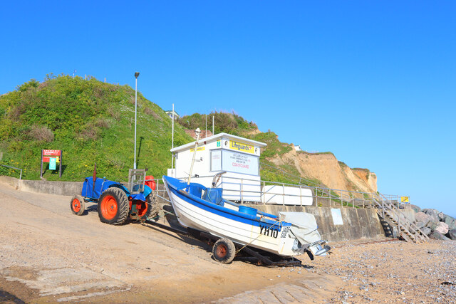
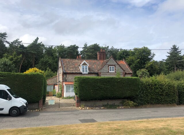
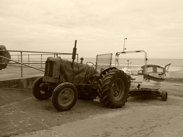
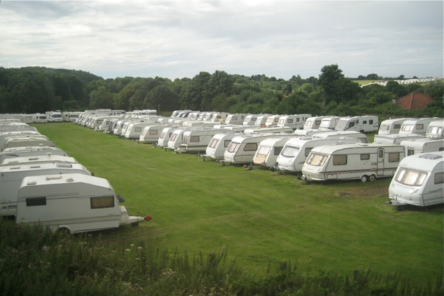
Images are sourced within 2km of 52.929927/1.2511552 or Grid Reference TG1841. Thanks to Geograph Open Source API. All images are credited.

East Runton Beach Lifeguard station at East Runton.
East Runton Beach
Lifeguard station at East Runton.
House on Holt Road, Felbrigg
Old tractor and fishing boat at East Runton
East Runton beach Looking West from near <a href="https://www.geograph.org.uk/photo/1091745">TG2042 : Pillbox on the beach</a>
East Runton beach
Looking West from near TG2042 : Pillbox on the beach
The shore at East Runton Gap Cromer Pier (TG2142) in the distance.
The shore at East Runton Gap
Cromer Pier (TG2142) in the distance.
East Runton Surfers' Memorial Overlooking the shore at East Runton Gap.
East Runton Surfers' Memorial
Overlooking the shore at East Runton Gap.
Beach, East Runton Gap This was one of the lowest tides of the year.
Beach, East Runton Gap
This was one of the lowest tides of the year.
Beach, East Runton Gap This was one of the lowest tides of the year.
Beach, East Runton Gap
This was one of the lowest tides of the year.
Beach, East Runton Gap This was one of the lowest tides of the year.
Beach, East Runton Gap
This was one of the lowest tides of the year.
Beach, East Runton Gap This was one of the lowest tides of the year.
Beach, East Runton Gap
This was one of the lowest tides of the year.
Beach, East Runton Gap This was one of the lowest tides of the year.
Beach, East Runton Gap
This was one of the lowest tides of the year.
Caravan parking in a field by the railway In France they'd call this 'garage mort'. Photographed through the window of a train on the 'Cromer Curve' heading for Norwich. The railway line from Cromer to Sheringham runs at the back of the field on the right.
Caravan parking in a field by the railway
In France they'd call this 'garage mort'. Photographed through the window of a train on the 'Cromer Curve' heading for Norwich. The railway line from Cromer to Sheringham runs at the back of the field on the right.
Lodge to the west of Felbrigg Hall
Slipway, East Runton Gap Fishing boat with tractor on the slipway, with stream.
Slipway, East Runton Gap
Fishing boat with tractor on the slipway, with stream.
Camping and caravan site, unoccupied Which is not very surprising, considering the Siberian weather. Broom Hill, between Cromer and East Runton.
Camping and caravan site, unoccupied
Which is not very surprising, considering the Siberian weather. Broom Hill, between Cromer and East Runton.
The Norfolk Coast Path Travelling inland between Cromer and Sheringham.
The Norfolk Coast Path
Travelling inland between Cromer and Sheringham.
Farmland, Roundabout Hill
Camp Site facilities
Show me another place!

Fair Lady Plantation is located at Grid Ref: TG1841 (Lat: 52.929927, Lng: 1.2511552)

Administrative County: Norfolk

District: North Norfolk

Police Authority: Norfolk

What 3 Words

///shovels.bubbles.classmate. Near Sheringham, Norfolk

Related Wikis

Runton

Runton is a civil parish in the English county of Norfolk consisting of the villages of East Runton and West Runton. It covers an area of 5.44 km2 (2.10...

Beacon Hill, Norfolk

Beacon Hill is the highest point in the English county of Norfolk. The hill is located 0.75 miles (1.2 km) south of the village of West Runton on the North...

West Runton railway station

West Runton railway station is on the Bittern Line in Norfolk, England, serving the village of West Runton. It is 28 miles 55 chains (46.2 km) down the...

West Runton

West Runton is a village in North Norfolk, England, on the North Sea coast. == Toponymy == The villages name means either, Runa's farm/settlement' or...

West Runton Mammoth

The West Runton Mammoth is a fossilized skeleton of a steppe mammoth (Mammuthus trogontherii) found in the cliffs of West Runton in the county of Norfolk...

West Runton Cliffs

West Runton Cliffs is a 17.8-hectare (44-acre) geological Site of Special Scientific Interest east of Sheringham in Norfolk. It is a Geological Conservation...
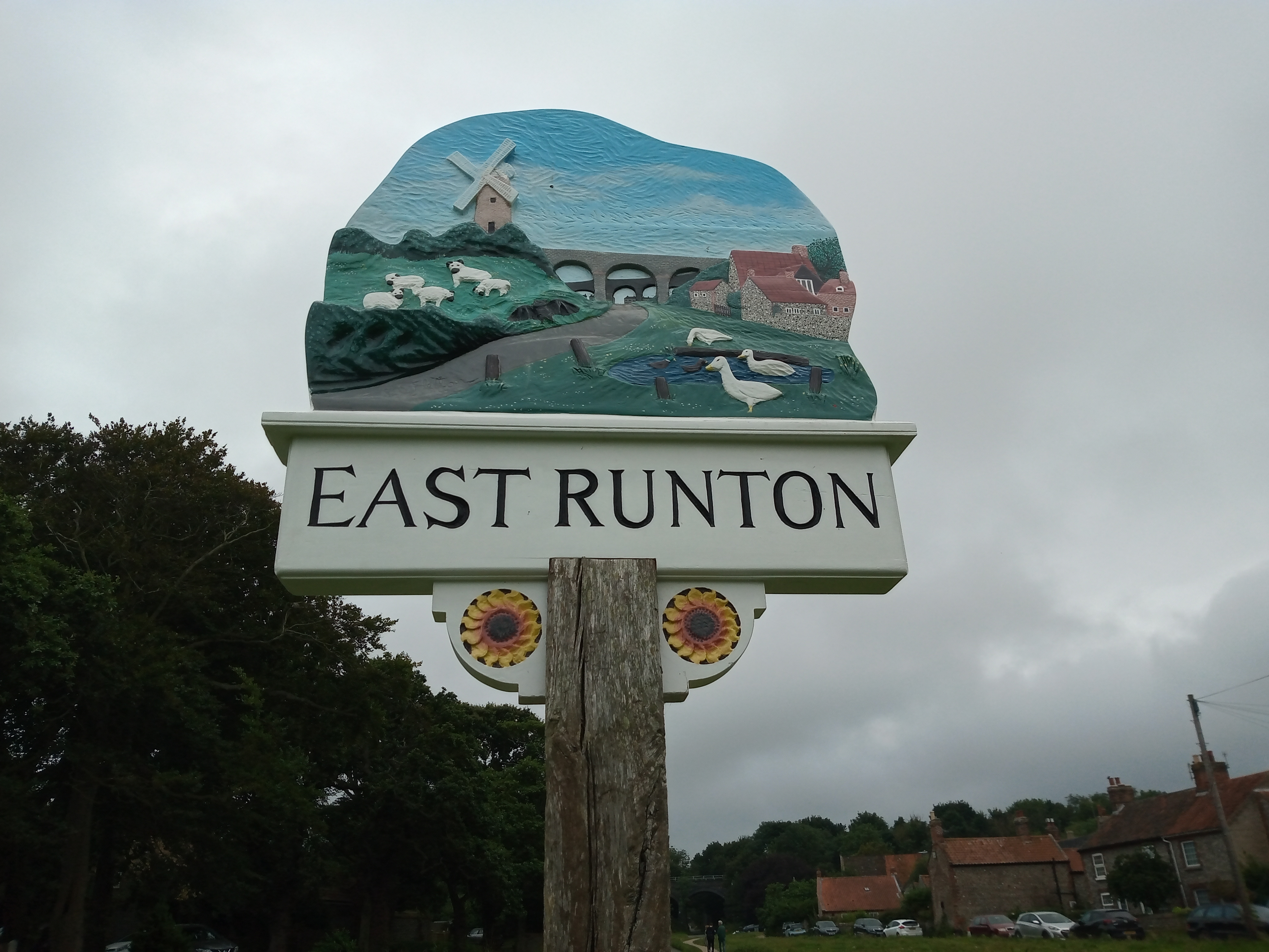
East Runton

East Runton is a small village in Norfolk, England situated close to the North Sea. It was once a traditional fishing village outside Cromer but is now...

Beeston Hall School

Beeston Hall School is an independent day and boarding preparatory school for boys and girls in the village of Beeston Regis, Norfolk, England. Founded...

Nearby Amenities

Located within 500m of 52.929927,1.2511552
Turning Circle
Lat/Long: 52.9334118/1.2477841
Barrier: kissing_gate
Lat/Long: 52.9313852/1.2552037
Barrier: lift_gate
Lat/Long: 52.9296764/1.2549948
Bus Stop
Renwick Park, adj
Naptan AtcoCode: 2900R236
Naptan Bearing: NW
Naptan BusStopType: CUS
Naptan CommonName: Renwick Park
Naptan Indicator: adj
Naptan Locality: West Runton
Naptan NaptanCode: nfodptmd
Naptan Street: Sandy Lane
Naptan Verified: no
Source: naptan_import
Lat/Long: 52.9319995/1.2460627
Barrier: kissing_gate
Lat/Long: 52.9289897/1.2573724
Bus Stop
Renwick Park, opp
Naptan AtcoCode: 2900R237
Naptan Bearing: SE
Naptan BusStopType: CUS
Naptan CommonName: Renwick Park
Naptan Indicator: opp
Naptan Locality: West Runton
Naptan NaptanCode: nfogtamj
Naptan Street: Sandy Lane
Naptan Verified: no
Source: naptan_import
Lat/Long: 52.9319473/1.2463267
Incleborough Hill
Ele: 79
Natural: peak
Lat/Long: 52.9333122/1.2560634
Town Hill
Alt Name: Beacon Hill
Place: locality
Lat/Long: 52.9314555/1.2481869
Barrier: kissing_gate
Lat/Long: 52.927406/1.2553399
Bench
Lat/Long: 52.9320159/1.2462222
Bench
Backrest: yes
Inscription: yes
Material: wood
Lat/Long: 52.9327638/1.256246
Bench
Backrest: no
Colour: grey
Inscription: no
Material: wood
Lat/Long: 52.9331569/1.256051
Bench
Backrest: yes
Colour: grey
Inscription: Campbell Steward / 1922 - 2004 / Elizabeth Steward / 1926 - 2017
Material: wood
Lat/Long: 52.9333279/1.2560069
Grit Bin
Colour: green
Material: plastic
Lat/Long: 52.9316322/1.2460192
Hiking: yes
Information: route_marker
Inscription: Circular Walk
Material: wood
Tourism: information
Lat/Long: 52.9292428/1.2577337
Waste Basket
Colour: red
Waste: dog_excrement
Lat/Long: 52.9292984/1.2576006
Hiking: yes
Information: route_marker
Inscription: Circular Walk
Material: wood
Tourism: information
Lat/Long: 52.9293901/1.254614
Flag Type: organisation
Man Made: flagpole
Lat/Long: 52.9298239/1.2551806
Waste Basket
Colour: red
Waste: dog_excrement
Lat/Long: 52.9296302/1.2549855
Barrier: lift_gate
Lat/Long: 52.9297842/1.2550445
Location Transition: yes
Power: pole
Lat/Long: 52.9325982/1.2451639
Restricted Byway
Hiking: yes
Information: guidepost
Material: wood
Tourism: information
Lat/Long: 52.9314778/1.2455548
The National Trust
Boundary: marker
Inscription: Inceborough Hill
Material: metal
Lat/Long: 52.9316988/1.2580087
Note: Goes further.
Lat/Long: 52.9276926/1.245519
Post Box
Post Box Type: wall
Ref: NR27 2741D
Royal Cypher: VR
Lat/Long: 52.9319949/1.2461108
Bench
Lat/Long: 52.9316583/1.2473337
The data included in this document is from www.openstreetmap.org. The data is made available under ODbL.

Have you been to Fair Lady Plantation?

Leave your review of Fair Lady Plantation below (or comments, questions and feedback).