West Runton

Heritage Site in Norfolk North Norfolk

England

West Runton

House on Holt Road, Felbrigg
House on Holt Road, Felbrigg Credit: Eirian Evans

West Runton is a small coastal village located in the county of Norfolk, England. Situated between the towns of Cromer and Sheringham, it is renowned for its rich heritage and picturesque natural beauty. West Runton is particularly famous for its status as a heritage site due to its significant archaeological discoveries.

The village is home to one of the most important paleontological sites in the country, the West Runton Elephant Bed. Discovered in 1990, this site yielded the remains of a steppe mammoth, making it one of the largest and most complete examples ever found in Europe. The excavation also revealed various other prehistoric animals' remains, including rhinoceroses, deer, and bison. These findings have provided invaluable insights into the region's prehistoric ecosystem.

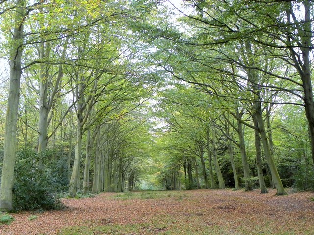
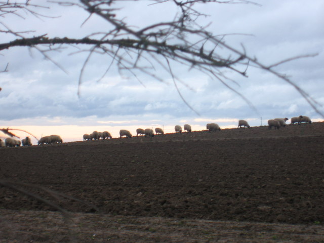
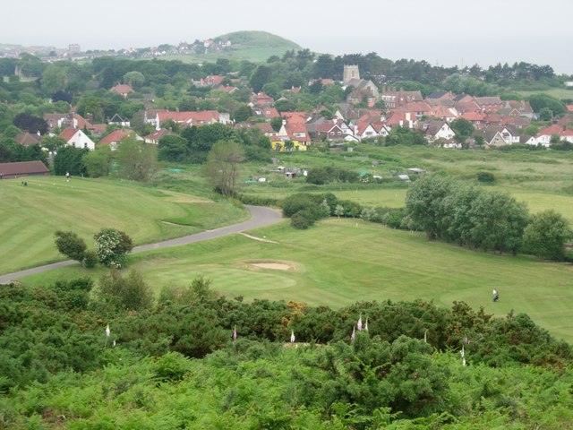
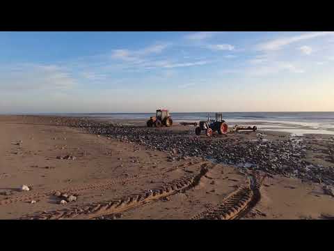
In addition to its paleontological significance, West Runton boasts a stunning coastline with sandy beaches and rocky cliffs. The beach is a popular destination for fossil hunters, who often find ancient treasures such as shark teeth and shells. The area is also a haven for wildlife, attracting birdwatchers and nature enthusiasts.

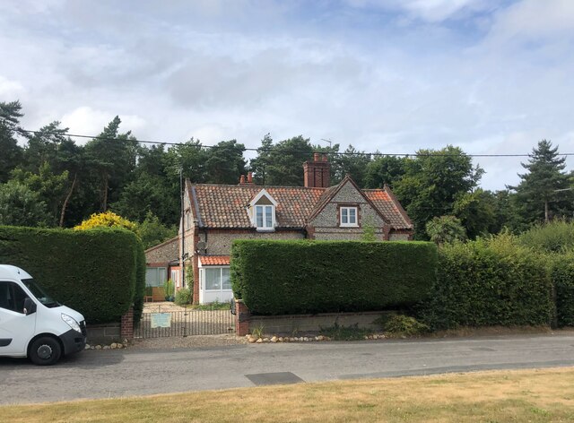
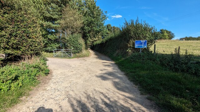
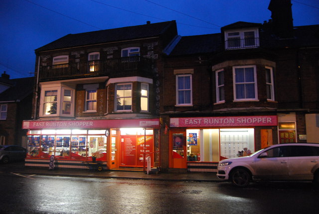
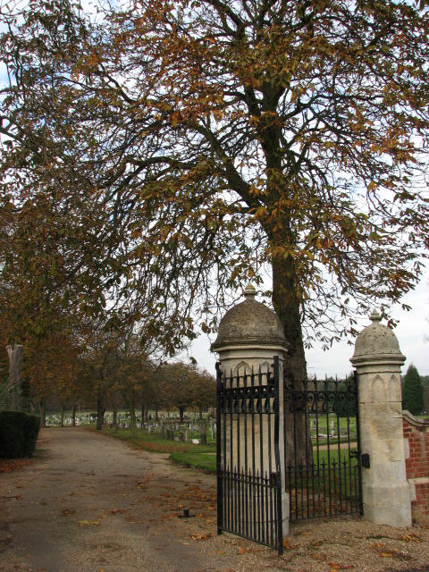
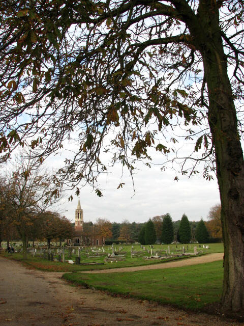
The village itself exudes a charming and welcoming atmosphere, with quaint cottages, a village green, and a historic church. It offers a range of amenities, including a few local shops, pubs, and cafes. West Runton also serves as a starting point for exploring the Norfolk Coast Path, a scenic walking route that spans the entire length of the Norfolk coast.

Overall, West Runton is a captivating heritage site that combines natural beauty, archaeological significance, and a friendly community, making it a must-visit destination for history buffs, nature lovers, and those seeking a peaceful coastal retreat.

If you have any feedback on the listing, please let us know in the comments section below.
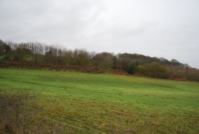
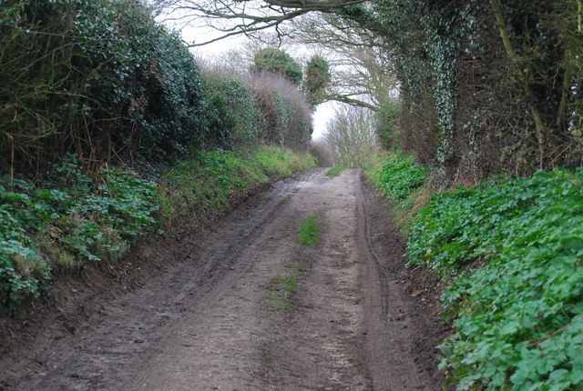
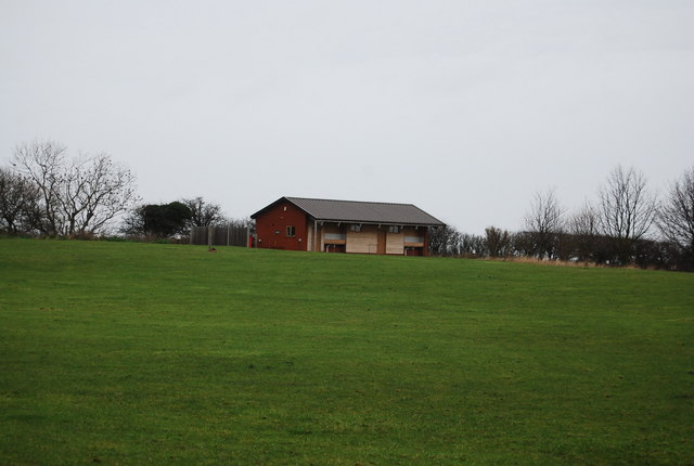
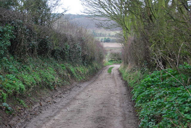
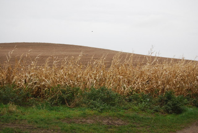
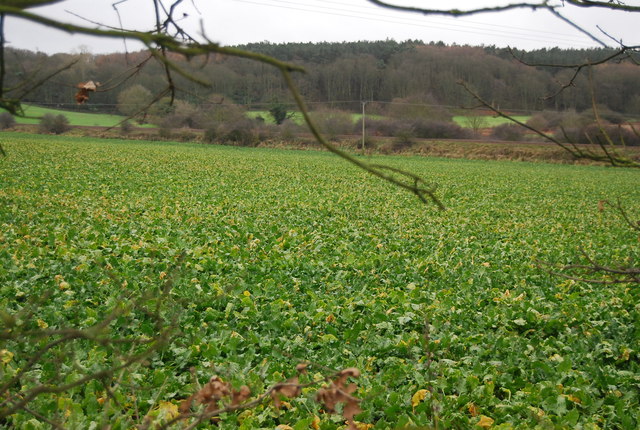
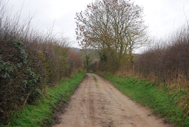
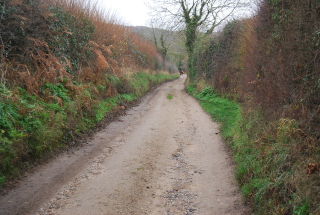
West Runton Images

Images are sourced within 2km of 52.926/1.248 or Grid Reference TG1841. Thanks to Geograph Open Source API. All images are credited.

House on Holt Road, Felbrigg
Newstead's Lane
Newstead's Lane
Caravan parking in a field by the railway In France they'd call this 'garage mort'. Photographed through the window of a train on the 'Cromer Curve' heading for Norwich. The railway line from Cromer to Sheringham runs at the back of the field on the right.
Caravan parking in a field by the railway
In France they'd call this 'garage mort'. Photographed through the window of a train on the 'Cromer Curve' heading for Norwich. The railway line from Cromer to Sheringham runs at the back of the field on the right.
Lodge to the west of Felbrigg Hall
Farmland, Roundabout Hill
Newstead's Lane
Newstead's Lane
Camp Site facilities
Newstead's Lane
Newstead's Lane
Maize stalks, Roundabout Hill
A Brassica field Brassica is a genus of the mustard family (Brassicaceae). 
Common types of brassica used for food include cabbage, cauliflower, broccoli & Brussels sprouts.
Wikipedia: <span class="nowrap"><a title="http://en.wikipedia.org/wiki/Brassica" rel="nofollow ugc noopener" href="http://en.wikipedia.org/wiki/Brassica">Link</a><img style="margin-left:2px;" alt="External link" title="External link - shift click to open in new window" src="https://s1.geograph.org.uk/img/external.png" width="10" height="10"/></span>
A Brassica field
Brassica is a genus of the mustard family (Brassicaceae). Common types of brassica used for food include cabbage, cauliflower, broccoli & Brussels sprouts. Wikipedia: LinkExternal link
Newstead's Lane The Norfolk Coast Path is a long distance footpath in Norfolk, running 45 miles from Hunstanton to Cromer. It was opened in 1986 and covers the North Norfolk Coast AONB (Area of Outstanding Natural Beauty).
It links with the Peddars Way at Holme-next-the-Sea, and the two in combination form the Peddars Way & Norfolk Coast Path National Trail. At Cromer it links to the Weavers Way.
Newstead's Lane
The Norfolk Coast Path is a long distance footpath in Norfolk, running 45 miles from Hunstanton to Cromer. It was opened in 1986 and covers the North Norfolk Coast AONB (Area of Outstanding Natural Beauty). It links with the Peddars Way at Holme-next-the-Sea, and the two in combination form the Peddars Way & Norfolk Coast Path National Trail. At Cromer it links to the Weavers Way.
Newstead's Lane The Peddars Way is a long distance footpath in Norfolk. It is 46 miles long and follows the route of a Roman road. It has been suggested by more than one writer that it was not created by the Romans but was an ancient trackway, a branch or extension of the Icknield Way, used and remodelled by the Romans. The name is said to be derived from the Latin pedester – on foot.  It starts at Knettishall Heath in Suffolk (near the Norfolk-Suffolk border, about 4 miles east of Thetford), and it links with the Norfolk Coast Path at Holme-next-the-Sea.
Combined with the Norfolk Coast Path, it forms the Peddars Way & Norfolk Coast Path National Trail, one of 15 National Trails in England and Wales, and the two paths together run for 97 miles.
Wikipedia: <span class="nowrap"><a title="http://en.wikipedia.org/wiki/Peddars_Way" rel="nofollow ugc noopener" href="http://en.wikipedia.org/wiki/Peddars_Way">Link</a><img style="margin-left:2px;" alt="External link" title="External link - shift click to open in new window" src="https://s1.geograph.org.uk/img/external.png" width="10" height="10"/></span>
Newstead's Lane
The Peddars Way is a long distance footpath in Norfolk. It is 46 miles long and follows the route of a Roman road. It has been suggested by more than one writer that it was not created by the Romans but was an ancient trackway, a branch or extension of the Icknield Way, used and remodelled by the Romans. The name is said to be derived from the Latin pedester – on foot. It starts at Knettishall Heath in Suffolk (near the Norfolk-Suffolk border, about 4 miles east of Thetford), and it links with the Norfolk Coast Path at Holme-next-the-Sea. Combined with the Norfolk Coast Path, it forms the Peddars Way & Norfolk Coast Path National Trail, one of 15 National Trails in England and Wales, and the two paths together run for 97 miles. Wikipedia: LinkExternal link
Chapel in new Cromer Cemetery An imposing chapel in a very large cemetery.
Chapel in new Cromer Cemetery
An imposing chapel in a very large cemetery.
East Runton Shopper
East Runton Shopper
A Leafy Avenue In the grounds of Felbrigg Hall.
A Leafy Avenue
In the grounds of Felbrigg Hall.
Sheep grazing on farm at Stone Hill Sheep farm overlooks East Runton. Taken at sunset on January evening as I neared the end of the North Norfolk Coastal Path
Sheep grazing on farm at Stone Hill
Sheep farm overlooks East Runton. Taken at sunset on January evening as I neared the end of the North Norfolk Coastal Path
Entrance to the new Cromer town cemetery ... beside the A148 (Holt Road)
Entrance to the new Cromer town cemetery
... beside the A148 (Holt Road)
Main drive into the new Cromer town cemetery ... with view towards the chapel.
Main drive into the new Cromer town cemetery
... with view towards the chapel.
Show me another place!

West Runton is located at Grid Ref: TG1841 (Lat: 52.926, Lng: 1.248)

Administrative County: Norfolk

District: North Norfolk

Police Authority: Norfolk

What 3 Words

///hairstyle.seats.quaking. Near Sheringham, Norfolk

Related Wikis

Beacon Hill, Norfolk

Beacon Hill is the highest point in the English county of Norfolk. The hill is located 0.75 miles (1.2 km) south of the village of West Runton on the North...

Runton

Runton is a civil parish in the English county of Norfolk consisting of the villages of East Runton and West Runton. It covers an area of 5.44 km2 (2.10...

West Runton railway station

West Runton railway station is on the Bittern Line in Norfolk, England, serving the village of West Runton. It is 28 miles 55 chains (46.2 km) down the...

West Runton

West Runton is a village in North Norfolk, England, on the North Sea coast. == Toponymy == The villages name means either, Runa's farm/settlement' or...

Related Videos

Walking At East Runton 21 June 2022

Walking along the Norfolk coast and passing East Runton in the early morning on the longest day of the year..

Seacroft C&M Clubsite | Day 1 Beach Walk.

Day 1 We take Skye to her favourite location for a lovely beach walk into Cromer.

Nearby Amenities

Located within 500m of 52.926,1.248
Bench
Lat/Long: 52.9265314/1.2435624
Bench
Lat/Long: 52.9265481/1.2433748
Roman Camp Caravan Park
Fee: no
Tourism: caravan_site
Lat/Long: 52.9251014/1.2471792
Parking
Roman Camp Car Park
Operator: National Trust
Lat/Long: 52.9254857/1.2474375
Post Box
Collection Times: Mo-Fr 09:00; Sa 07:00
Post Box Mounting: pier
Post Box Type: lamp
Ref: NR27 2742D
Royal Cypher: EIIR
Royal Cypher Wikidata: Q33102113
Lat/Long: 52.9246783/1.250158
Tourism: viewpoint
Lat/Long: 52.9265508/1.2434766
Traffic Calming: bump
Lat/Long: 52.925253/1.2476714
Beacon Hill
Ele: 105
Natural: peak
Wikidata: Q4875941
Wikipedia: en:Beacon Hill, Norfolk
Lat/Long: 52.9244263/1.248012
Note: way continues
Lat/Long: 52.9235927/1.2436052
Man Made: flagpole
Lat/Long: 52.9258795/1.2470578
Bench
Lat/Long: 52.9259708/1.2472832
Bench
Lat/Long: 52.9260088/1.2469342
Bench
Backrest: no
Lat/Long: 52.9276155/1.2425718
Bench
Backrest: yes
Lat/Long: 52.9277223/1.2423643
Communication Mobile Phone: yes
Man Made: mast
Material: metal
Operator: O2-UK;Vodafone UK;Three UK;EE
Tower Construction: lattice
Tower Type: communication
Lat/Long: 52.9244133/1.251209
Give Way
Lat/Long: 52.9253394/1.2472588
Traffic Calming: bump
Lat/Long: 52.9251395/1.2471721
Hiking: yes
Information: route_marker
Inscription: Circular Walk
Material: wood
Tourism: information
Lat/Long: 52.9247451/1.2507664
Hiking: yes
Information: guidepost
Material: wood
Tourism: information
Lat/Long: 52.9246861/1.2501039
Give Way
Lat/Long: 52.9225985/1.249786
Hiking: yes
Information: route_marker
Inscription: Circular Walk
Tourism: information
Lat/Long: 52.9225397/1.2499453
Location Transition: yes
Power: pole
Ref: 517883
Transformer: distribution
Lat/Long: 52.9224788/1.2500435
Hiking: yes
Information: route_marker
Material: wood
Tourism: information
Lat/Long: 52.9261367/1.2434342
Traffic Calming: bump
Lat/Long: 52.9253839/1.2471883
Traffic Calming: bump
Lat/Long: 52.9250524/1.2458096
Traffic Calming: bump
Lat/Long: 52.9247928/1.2455495
Traffic Calming: bump
Lat/Long: 52.9247953/1.2458767
Traffic Calming: bump
Lat/Long: 52.9248211/1.2469603
Traffic Calming: bump
Lat/Long: 52.9249537/1.2470998
Traffic Calming: bump
Lat/Long: 52.9252816/1.2472319
Board Type: nature
Information: board
Tourism: information
Lat/Long: 52.9254328/1.2475289
Waste Basket
Colour: red
Material: plastic
Waste: dog_excrement
Lat/Long: 52.9254433/1.2475088
Note: Goes further.
Lat/Long: 52.9276926/1.245519
The data included in this document is from www.openstreetmap.org. The data is made available under ODbL.

Have you been to West Runton?

Leave your review of West Runton below (or comments, questions and feedback).