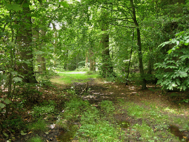
Edward's Plantation
Wood, Forest in Norfolk North Norfolk
England
Edward's Plantation
Edward's Plantation, Norfolk, also known as Wood or Forest, is a historic plantation situated in Norfolk County, Virginia. The plantation dates back to the 17th century and is named after its original owner, Edward Wood. Spanning over a vast area, it is renowned for its lush greenery and diverse flora.
The plantation is known for its rich history and significant contributions to the agricultural industry of the region. In its early years, Edward's Plantation primarily focused on the cultivation of tobacco, a major cash crop at the time. The fertile soil and favorable climate of Norfolk County made it an ideal location for tobacco farming.
The plantation features a variety of architectural structures, including a main house, barns, and slave quarters. These structures showcase the plantation's historical significance and give visitors a glimpse into the past.
Today, Edward's Plantation has transformed into a popular destination for tourists and history enthusiasts. Visitors can explore the picturesque landscapes and take guided tours to learn about the plantation's history and its role in shaping the region. The plantation also hosts various events and educational programs to promote awareness and appreciation for its historical and cultural significance.
Edward's Plantation, Norfolk, stands as a testament to the region's agricultural heritage and serves as a reminder of the plantation's role in shaping the local economy and society. With its scenic beauty and historical charm, the plantation continues to attract visitors from near and far, offering a unique glimpse into Virginia's past.
If you have any feedback on the listing, please let us know in the comments section below.
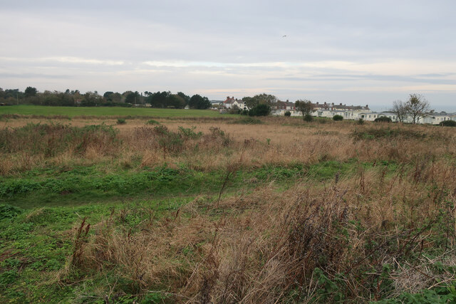
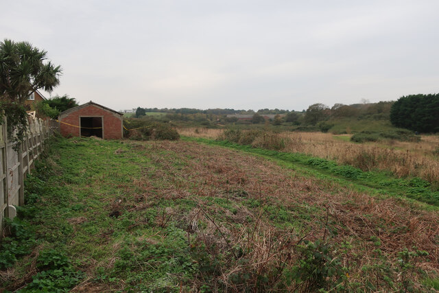
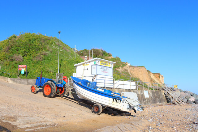
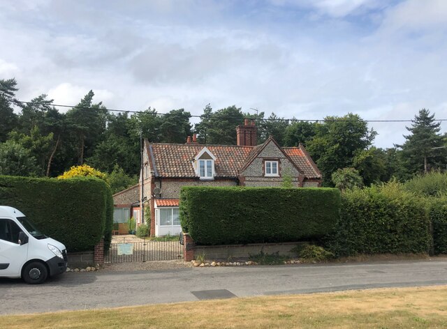
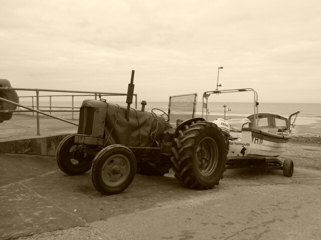
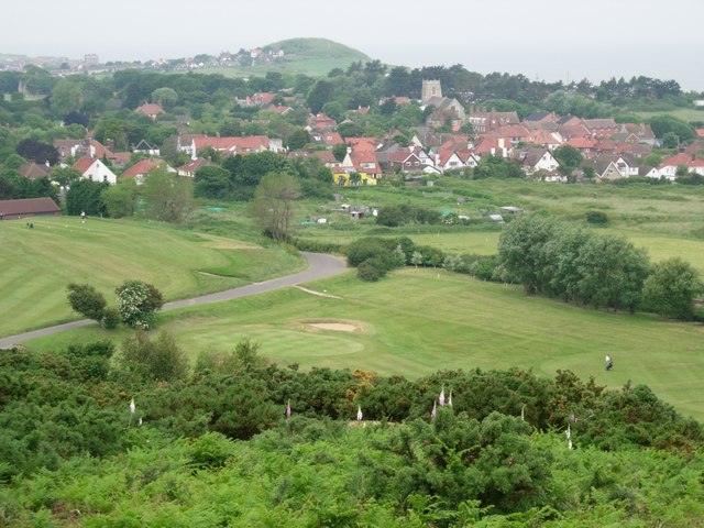
Edward's Plantation Images
Images are sourced within 2km of 52.92657/1.2552043 or Grid Reference TG1841. Thanks to Geograph Open Source API. All images are credited.


Edward's Plantation is located at Grid Ref: TG1841 (Lat: 52.92657, Lng: 1.2552043)
Administrative County: Norfolk
District: North Norfolk
Police Authority: Norfolk
What 3 Words
///tourist.rice.barstool. Near Cromer, Norfolk
Related Wikis
Beacon Hill, Norfolk
Beacon Hill is the highest point in the English county of Norfolk. The hill is located 0.75 miles (1.2 km) south of the village of West Runton on the North...

Runton
Runton is a civil parish in the English county of Norfolk consisting of the villages of East Runton and West Runton. It covers an area of 5.44 km2 (2.10...

West Runton railway station
West Runton railway station is on the Bittern Line in Norfolk, England, serving the village of West Runton. It is 28 miles 55 chains (46.2 km) down the...

East Runton Windmill
East Runton Windmill is a grade II listed tower mill at East Runton, Norfolk, England which has been converted to residential accommodation. == History... ==
West Runton
West Runton is a village in North Norfolk, England, on the North Sea coast. == Toponymy == The villages name means either, Runa's farm/settlement' or...
Felbrigg Woods
Felbrigg Woods is a 164.6-hectare (407-acre) biological Site of Special Scientific Interest south-west of Cromer in Norfolk. It is the main part of the...

West Runton Mammoth
The West Runton Mammoth is a fossilized skeleton of a steppe mammoth (Mammuthus trogontherii) found in the cliffs of West Runton in the county of Norfolk...
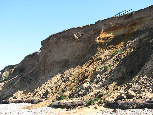
West Runton Cliffs
West Runton Cliffs is a 17.8-hectare (44-acre) geological Site of Special Scientific Interest east of Sheringham in Norfolk. It is a Geological Conservation...
Nearby Amenities
Located within 500m of 52.92657,1.2552043Have you been to Edward's Plantation?
Leave your review of Edward's Plantation below (or comments, questions and feedback).