Broad Bottoms Plantation
Wood, Forest in Norfolk North Norfolk
England
Broad Bottoms Plantation
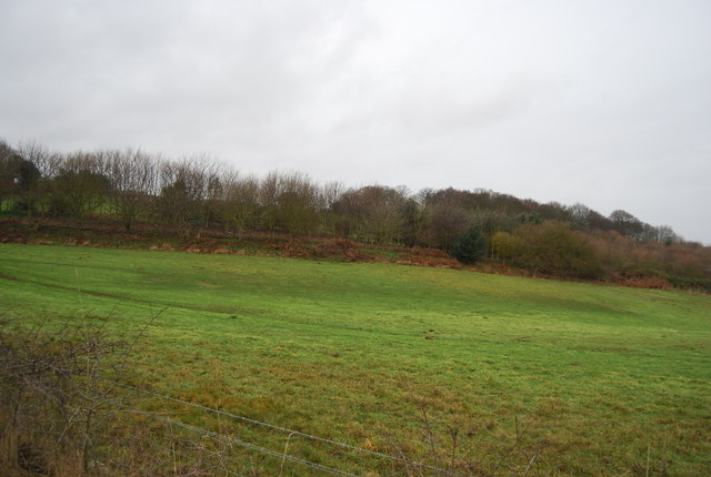
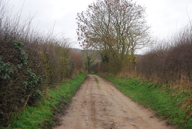
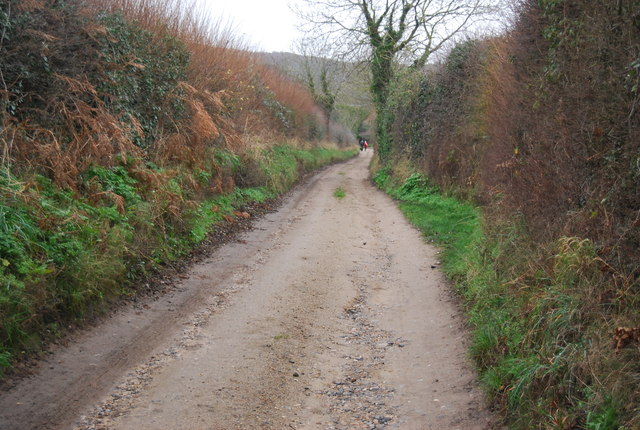
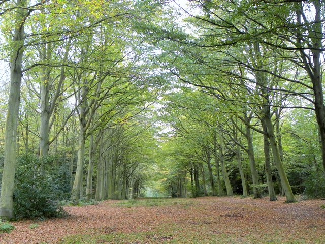
Broad Bottoms Plantation is a sprawling woodland area located in Norfolk, England. Covering an extensive area, the plantation is predominantly known for its dense forest and rich biodiversity. It is situated within the Norfolk Broads, a renowned national park famous for its unique wetland landscape.
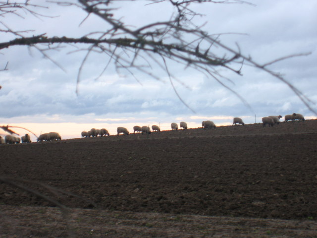
The plantation boasts a diverse range of tree species, including oak, beech, and ash, which create a picturesque and enchanting atmosphere. These towering trees provide a haven for numerous bird species, such as woodpeckers, owls, and warblers, making it a popular spot for birdwatchers. Additionally, the plantation is home to various mammals, such as deer and foxes, as well as smaller creatures like squirrels and rabbits.
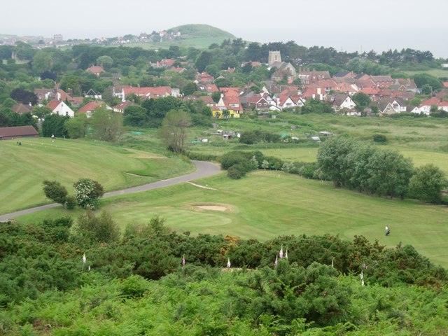
Visitors to Broad Bottoms Plantation can enjoy a network of well-maintained walking trails, allowing them to explore the area's natural beauty at their own pace. The trails meander through the woodland, offering breathtaking views of the surrounding landscape. It is an ideal destination for nature enthusiasts, as its tranquil setting provides a peaceful retreat from the hustle and bustle of everyday life.
Furthermore, the plantation offers educational opportunities, hosting workshops and guided tours for schools and groups interested in learning about the diverse ecosystem and conservation efforts. These initiatives aim to raise awareness about the importance of preserving the natural environment and its inhabitants.
Overall, Broad Bottoms Plantation is a captivating woodland area in Norfolk, offering visitors an immersive experience in the heart of nature. Its lush forest, abundant wildlife, and educational programs make it a must-visit destination for both locals and tourists alike.
If you have any feedback on the listing, please let us know in the comments section below.
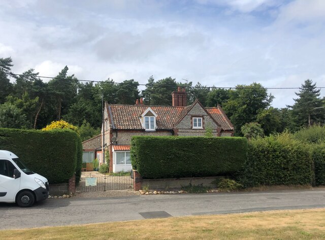
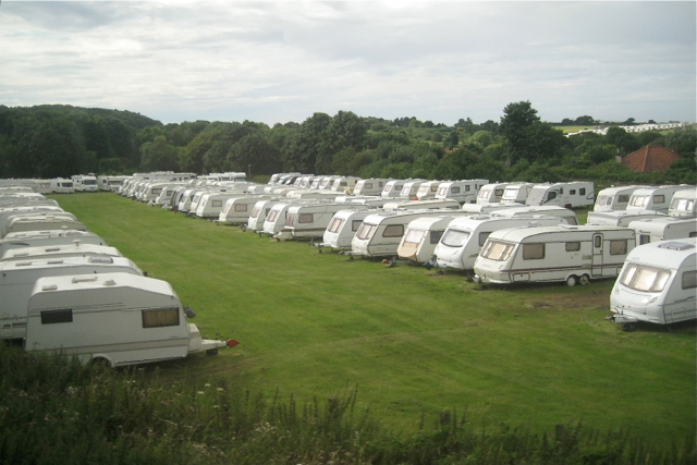
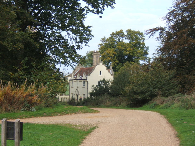
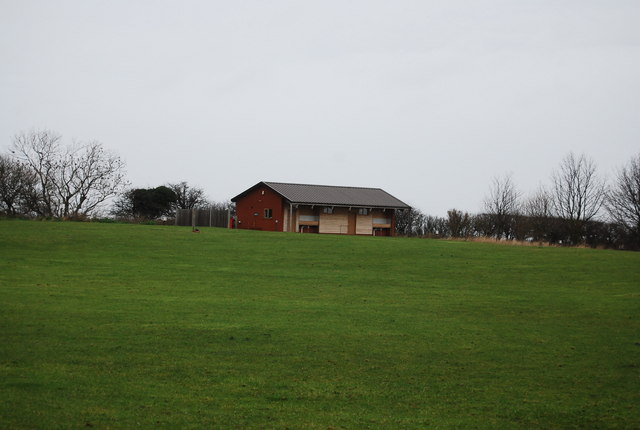
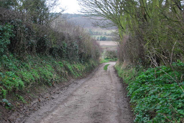
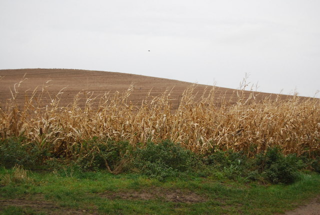
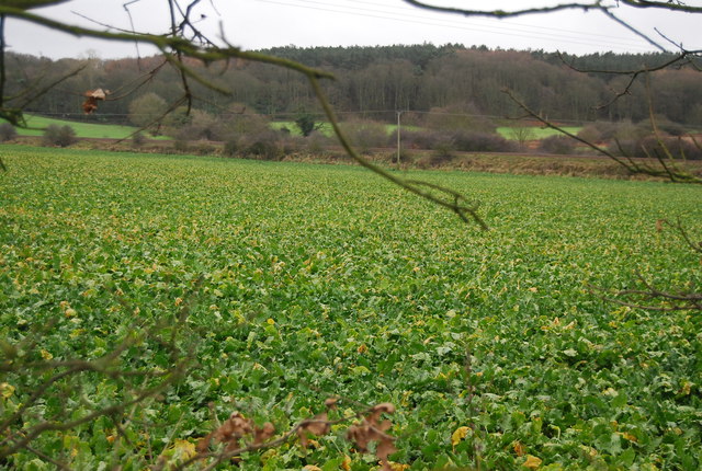
Broad Bottoms Plantation Images
Images are sourced within 2km of 52.927318/1.2475962 or Grid Reference TG1841. Thanks to Geograph Open Source API. All images are credited.


Broad Bottoms Plantation is located at Grid Ref: TG1841 (Lat: 52.927318, Lng: 1.2475962)
Administrative County: Norfolk
District: North Norfolk
Police Authority: Norfolk
What 3 Words
///cabinet.blaring.sunflower. Near Sheringham, Norfolk
Related Wikis
Beacon Hill, Norfolk
Beacon Hill is the highest point in the English county of Norfolk. The hill is located 0.75 miles (1.2 km) south of the village of West Runton on the North...

Runton
Runton is a civil parish in the English county of Norfolk consisting of the villages of East Runton and West Runton. It covers an area of 5.44 km2 (2.10...

West Runton railway station
West Runton railway station is on the Bittern Line in Norfolk, England, serving the village of West Runton. It is 28 miles 55 chains (46.2 km) down the...
West Runton
West Runton is a village in North Norfolk, England, on the North Sea coast. == Toponymy == The villages name means either, Runa's farm/settlement' or...
Beeston Hall School
Beeston Hall School is an independent day and boarding preparatory school for boys and girls in the village of Beeston Regis, Norfolk, England. Founded...
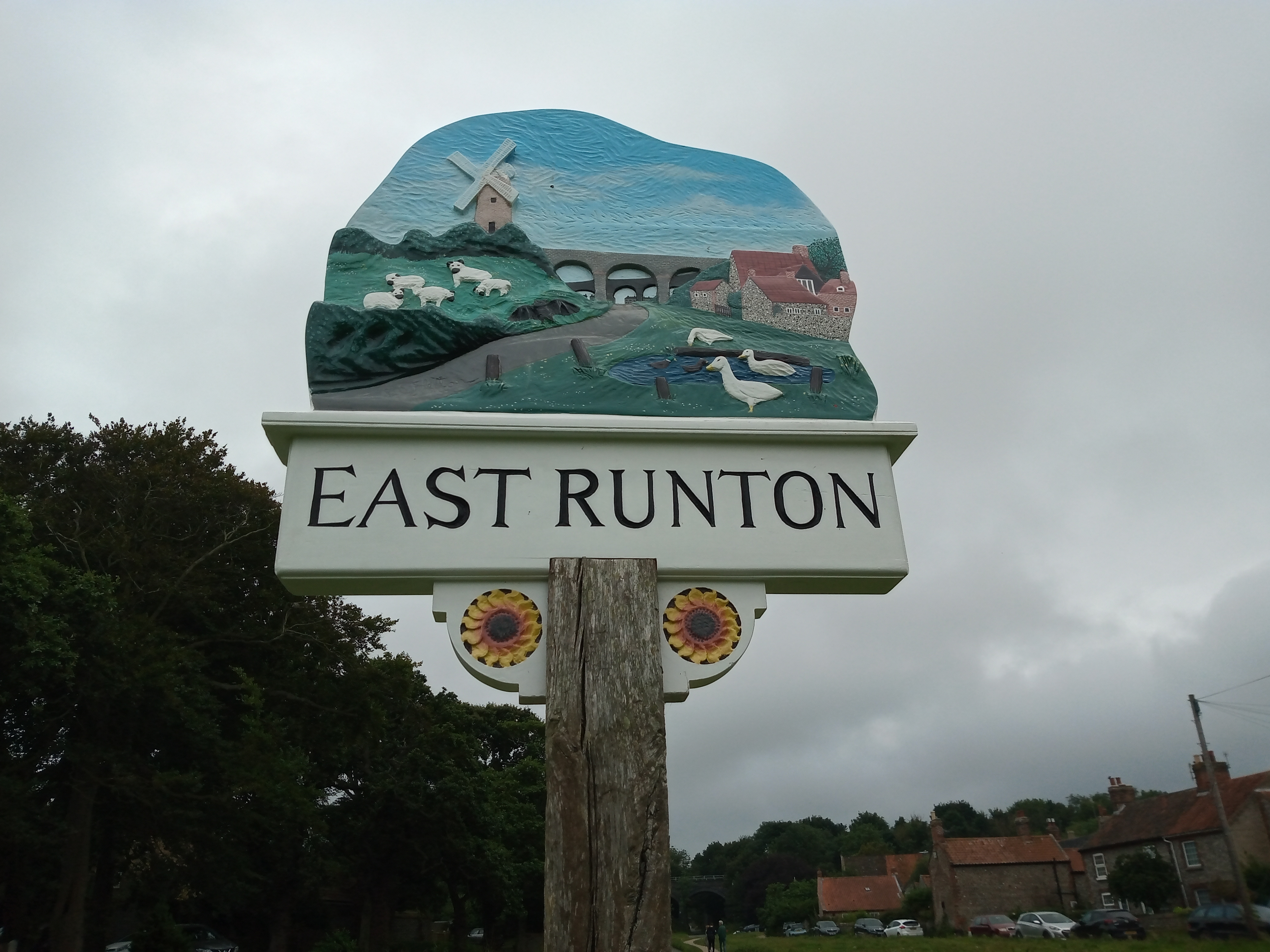
East Runton
East Runton is a small village in Norfolk, England situated close to the North Sea. It was once a traditional fishing village outside Cromer but is now...

Briton's Lane Gravel Pit
Briton's Lane Gravel Pit is a 21.5-hectare (53-acre) geological Site of Special Scientific Interest east of Sheringham in Norfolk. It is a Geological...
Wood-Dene School
Wood-Dene School was a private school for the creative arts in the English county of Norfolk in Great Britain, closing during March 2010. The school was...
Nearby Amenities
Located within 500m of 52.927318,1.2475962Have you been to Broad Bottoms Plantation?
Leave your review of Broad Bottoms Plantation below (or comments, questions and feedback).