Deal Plantation
Wood, Forest in Norfolk South Norfolk
England
Deal Plantation

Deal Plantation is a historic woodland located in Norfolk, England. Situated near the town of Wood, within the Forest of Norfolk, the plantation covers an area of approximately 300 acres. The site has a rich history, dating back several centuries.
Originally established as a timber-producing woodland in the 17th century, Deal Plantation played a significant role in supplying wood for naval construction during the height of the British Empire. The woodland consists mainly of oak and beech trees, which were selectively grown and harvested to meet the demand for shipbuilding materials.
Over the years, Deal Plantation has also served as a recreational area for locals, offering a serene and picturesque setting for outdoor activities such as walking, jogging, and birdwatching. The woodland is home to a diverse range of flora and fauna, including various bird species, mammals, and insects.
In recent years, efforts have been made to preserve and maintain the ecological balance of Deal Plantation. The woodland is now managed sustainably, with careful consideration given to the conservation of its natural resources. This includes the implementation of responsible forestry practices, such as selective tree felling and the planting of new saplings to ensure the continued growth of the woodland.
Deal Plantation remains an important cultural and natural heritage site in Norfolk, attracting visitors from far and wide who appreciate its historical significance and natural beauty. Its accessibility and peaceful surroundings make it an ideal destination for nature enthusiasts and those seeking a tranquil retreat within the heart of the Forest of Norfolk.
If you have any feedback on the listing, please let us know in the comments section below.
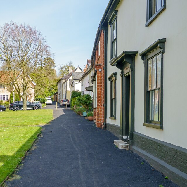
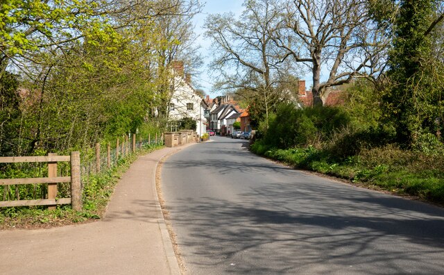
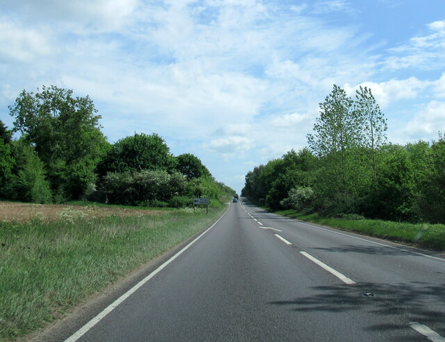
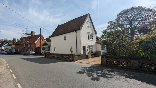
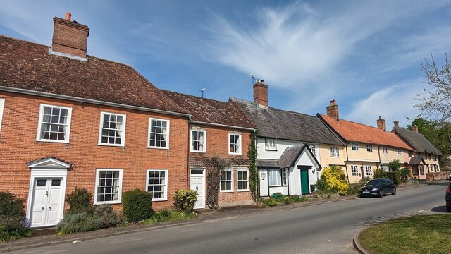
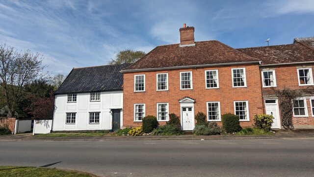
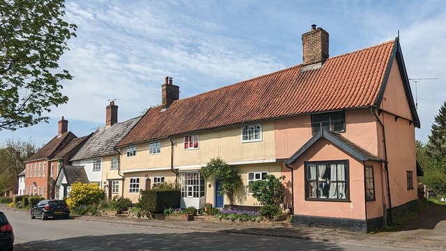
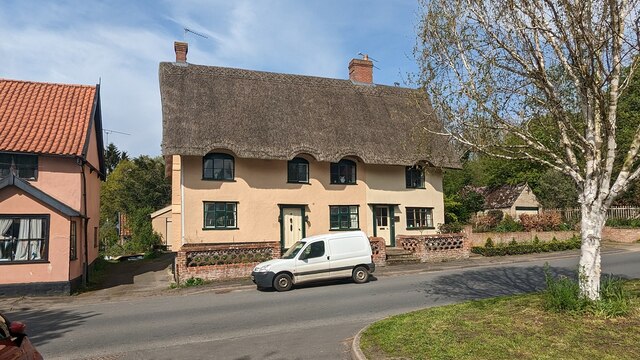
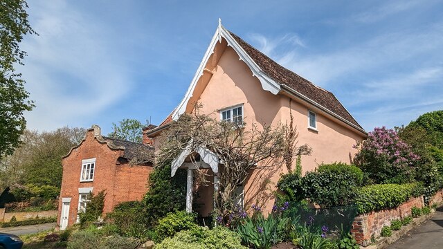
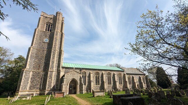
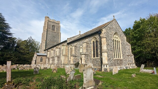
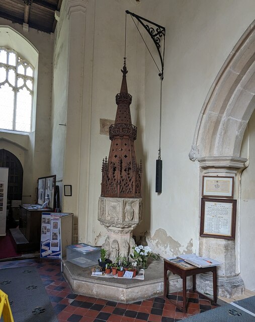
Deal Plantation Images
Images are sourced within 2km of 52.366211/1.2035367 or Grid Reference TM1879. Thanks to Geograph Open Source API. All images are credited.


Deal Plantation is located at Grid Ref: TM1879 (Lat: 52.366211, Lng: 1.2035367)
Administrative County: Norfolk
District: South Norfolk
Police Authority: Norfolk
What 3 Words
///organic.vessel.ideal. Near Scole, Norfolk
Nearby Locations
Related Wikis
River Dove, Suffolk
The River Dove is a river in the county of Suffolk. It is a tributary of the River Waveney starting near Bacton going through Eye to the Waveney. ��2...
Thorpe Abbotts
Thorpe Abbotts is a village and (as Thorpe Abbots) a former civil parish, now in the parish of Brockdish, in the South Norfolk district, in the county...
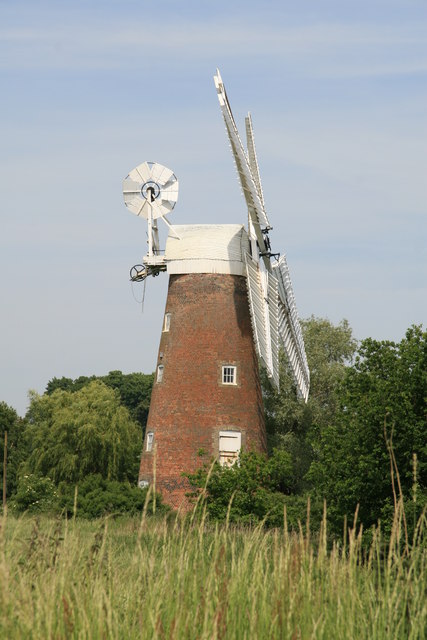
Billingford Windmill
Billingford Windmill is a grade II* listed brick tower mill at Billingford near Diss, Norfolk, England which has been preserved and restored to working...

Dickleburgh and Rushall
Dickleburgh and Rushall is a civil parish in South Norfolk. It covers an area of 14.90 km2 (5.75 sq mi) and had a population of 1356 in 565 households...
Billingford, South Norfolk
Billingford or Pirleston is a village and former civil parish, 19 miles (31 km) south of Norwich, now in the parish of Scole, in the South Norfolk district...

Hoxne
Hoxne ( HOK-sən) is a village in the Mid Suffolk district of Suffolk, England, about five miles (8 km) east-southeast of Diss, Norfolk and 1⁄2 mile (800...

Hoxne manor
Hoxne manor is an estate in Hoxne, Suffolk, England. It was originally a manor house belonging to East Anglian bishops. However following the dissolution...
Oakley, Suffolk
Oakley is a village and former civil parish in the Mid Suffolk district, in the north of the English county of Suffolk. It lies immediately to the south...
Nearby Amenities
Located within 500m of 52.366211,1.2035367Have you been to Deal Plantation?
Leave your review of Deal Plantation below (or comments, questions and feedback).