Ballast Plantation
Wood, Forest in Norfolk South Norfolk
England
Ballast Plantation
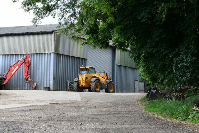
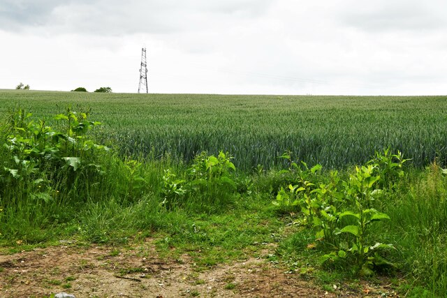
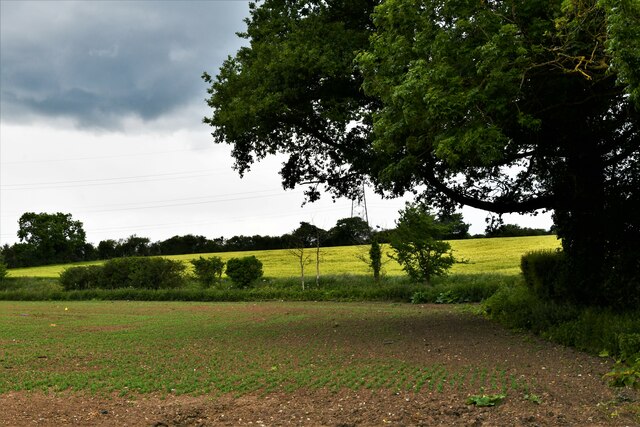
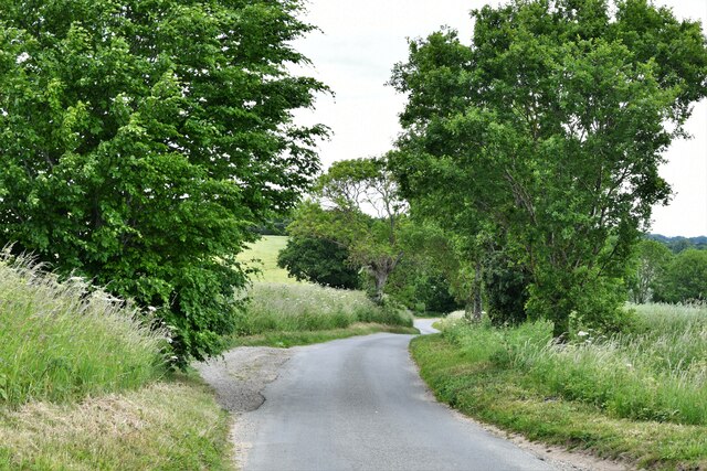
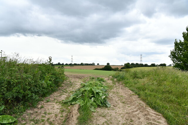
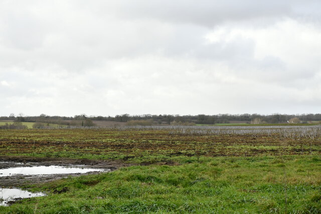
Ballast Plantation is a stunning woodland located in Norfolk, England. Covering a vast area, it is known for its diverse range of trees and lush vegetation, making it a haven for nature enthusiasts and a popular destination for outdoor activities.
The plantation boasts an impressive variety of tree species, including oak, beech, ash, and birch. These majestic trees provide a picturesque backdrop, especially during the autumn months when their foliage transforms into vibrant hues of red, yellow, and orange. The woodland floor is adorned with wildflowers, ferns, and mosses, creating a serene and enchanting environment.
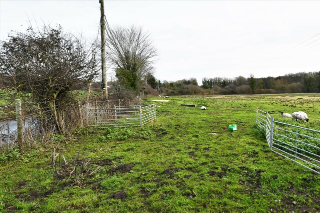
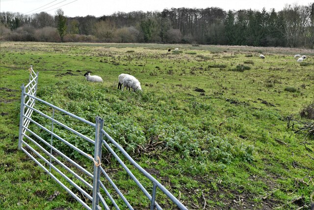
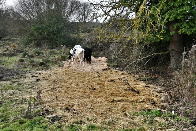
The plantation is home to a wide array of wildlife, including deer, squirrels, badgers, and various bird species. Birdwatchers will delight in spotting woodpeckers, owls, and a variety of songbirds that inhabit the area. The plantation's rich biodiversity also attracts numerous insects and small mammals, adding to its ecological importance.
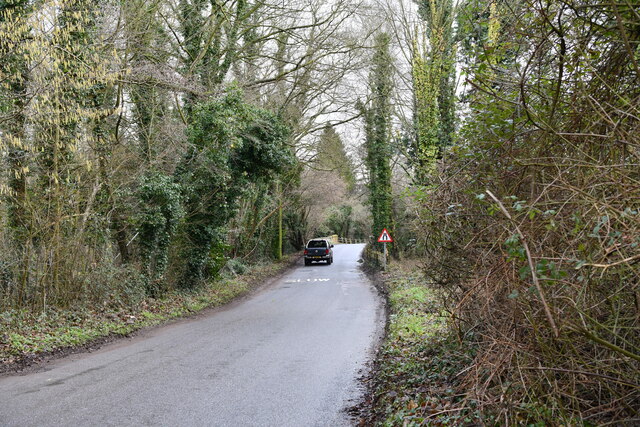
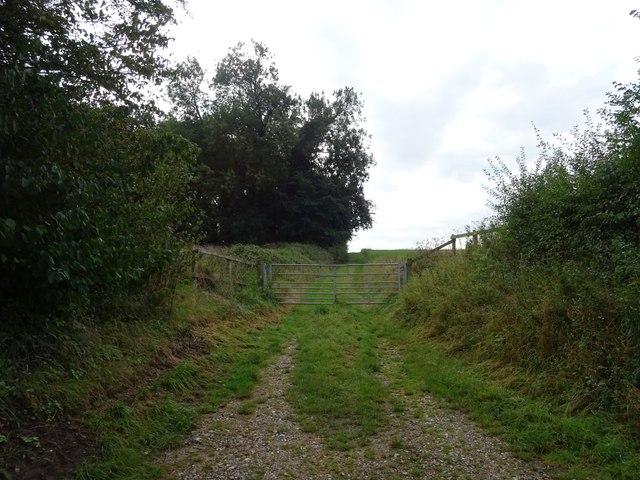
Visitors can enjoy a range of recreational activities in Ballast Plantation. There are well-maintained walking trails that wind through the woodland, allowing visitors to explore its beauty at their own pace. The trails are suitable for all ages and fitness levels, providing an opportunity to immerse oneself in nature and appreciate the tranquil surroundings.
Birdwatching, photography, and picnicking are also popular activities within the plantation. With its peaceful ambiance and natural beauty, Ballast Plantation offers a welcome escape from the hustle and bustle of everyday life, making it a cherished destination for locals and tourists alike.
If you have any feedback on the listing, please let us know in the comments section below.
Ballast Plantation Images
Images are sourced within 2km of 52.523265/1.2221411 or Grid Reference TM1896. Thanks to Geograph Open Source API. All images are credited.
Ballast Plantation is located at Grid Ref: TM1896 (Lat: 52.523265, Lng: 1.2221411)
Administrative County: Norfolk
District: South Norfolk
Police Authority: Norfolk
What 3 Words
///hologram.crisp.results. Near Long Stratton, Norfolk
Nearby Locations
Related Wikis

Flordon
Flordon is a village and civil parish in the English county of Norfolk. The village is located 5.4 miles (8.7 km) south-east of Wymondham and 7.6 miles...

Flordon railway station
Flordon railway station served the village of Flordon, Norfolk. It was opened in 1849, when the line from London Liverpool Street to Norwich Victoria was...

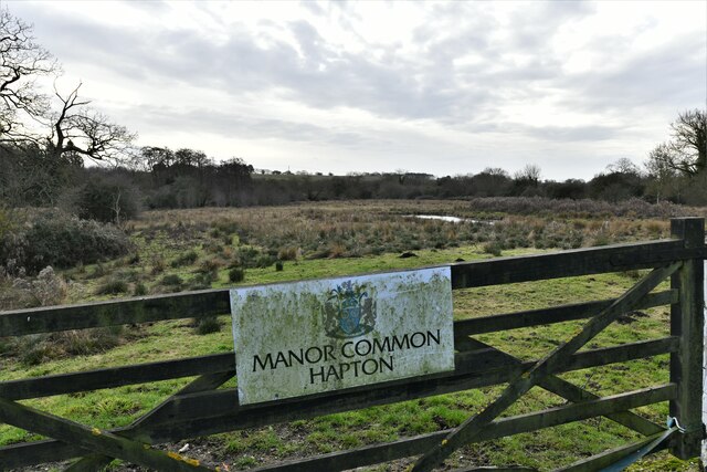
Flordon Common
Flordon Common is a 9.9-hectare (24-acre) biological Site of Special Scientific Interest south-east of Wymondham in Norfolk. It is a registered common...

Hapton, Norfolk
Hapton is a village and former civil parish, now in the parish of Tharston and Hapton, in the South Norfolk district, in the county of Norfolk, England...

Tharston and Hapton
The civil parish of Tharston and Hapton lies in the south of the county of Norfolk, England. It encompasses the two villages of Tharston and Hapton, covering...

Tasburgh
Tasburgh ( TAYZ-bər-ə) is a civil parish and a village in the south of Norfolk, England, located approximately 8 miles south of Norwich. It lies on the...

A140 road
The A140 is an 'A-class' road in Norfolk and Suffolk, East Anglia, England partly following the route of the Roman Pye Road. It runs from the A14 near...

Newton Flotman
Newton Flotman, meaning new farm or settlement, is a village and civil parish in the English county of Norfolk, lies about 7 miles (11 km) south of Norwich...
Nearby Amenities
Located within 500m of 52.523265,1.2221411Have you been to Ballast Plantation?
Leave your review of Ballast Plantation below (or comments, questions and feedback).