Ash Plantation
Wood, Forest in Norfolk North Norfolk
England
Ash Plantation
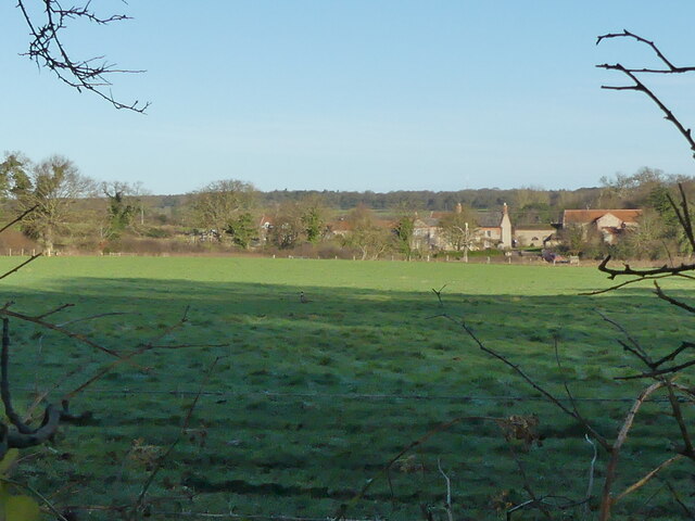
Ash Plantation is a woodland located in Norfolk, England. Covering an area of approximately 100 acres, it is a designated plantation primarily consisting of ash trees. The plantation is situated in a rural area, surrounded by picturesque landscapes and rolling hills.
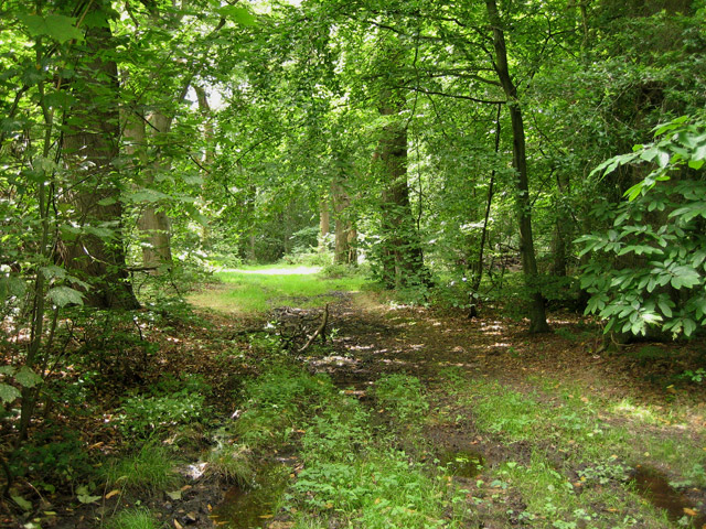
The ash trees in Ash Plantation are of varying ages and sizes, creating a diverse and interesting woodland habitat. The trees reach impressive heights, with some soaring up to 100 feet tall. The canopy formed by their branches provides shade and shelter for a variety of wildlife species.
The plantation is home to a rich array of flora and fauna. The forest floor is carpeted with a lush understory of ferns, mosses, and wildflowers, adding to the beauty and biodiversity of the area. The dense vegetation provides a suitable habitat for numerous bird species, including woodpeckers, finches, and owls. Small mammals such as squirrels, rabbits, and foxes can also be found within the plantation.
Ash Plantation is a popular destination for nature enthusiasts and walkers, who enjoy exploring its well-maintained trails. The woodland offers a tranquil and peaceful environment, allowing visitors to immerse themselves in nature and enjoy the calming sounds of the forest.
The plantation is managed by local authorities, who ensure the preservation and conservation of the woodland. Regular maintenance activities, such as selective tree thinning and coppicing, are carried out to maintain a healthy and sustainable ecosystem.
Overall, Ash Plantation in Norfolk is a beautiful woodland, teeming with diverse flora and fauna, and providing a serene escape from the bustle of everyday life.
If you have any feedback on the listing, please let us know in the comments section below.
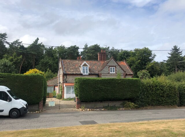
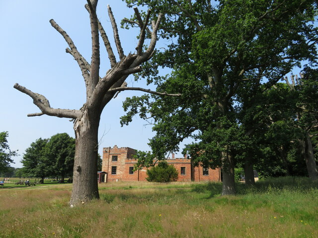
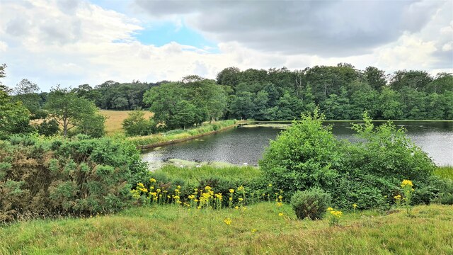
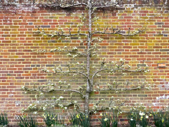
Ash Plantation Images
Images are sourced within 2km of 52.917578/1.251866 or Grid Reference TG1840. Thanks to Geograph Open Source API. All images are credited.


Ash Plantation is located at Grid Ref: TG1840 (Lat: 52.917578, Lng: 1.251866)
Administrative County: Norfolk
District: North Norfolk
Police Authority: Norfolk
What 3 Words
///writing.footpath.starlight. Near Cromer, Norfolk
Nearby Locations
Related Wikis
Beacon Hill, Norfolk
Beacon Hill is the highest point in the English county of Norfolk. The hill is located 0.75 miles (1.2 km) south of the village of West Runton on the North...
Felbrigg Woods
Felbrigg Woods is a 164.6-hectare (407-acre) biological Site of Special Scientific Interest south-west of Cromer in Norfolk. It is the main part of the...

Aylmerton
Aylmerton is a village in the county of Norfolk, England. It is in the area of North Norfolk and lies 2.2 miles (3.5 km) south of the North Sea, 3.2 miles...

Felbrigg Hall
Felbrigg Hall is a 17th-century English country house near the village of that name in Norfolk. Part of a National Trust property, the unaltered 17th-century...

Wood-Dene School
Wood-Dene School was a private school for the creative arts in the English county of Norfolk in Great Britain, closing during March 2010. The school was...
Runton
Runton is a civil parish in the English county of Norfolk consisting of the villages of East Runton and West Runton. It covers an area of 5.44 km2 (2.10...

St Margaret's Church, Felbrigg
St Margaret's Church is a Grade II* listed parish church in the Church of England Diocese of Norwich in Felbrigg, Norfolk. == History == The church is...

Briton's Lane Gravel Pit
Briton's Lane Gravel Pit is a 21.5-hectare (53-acre) geological Site of Special Scientific Interest east of Sheringham in Norfolk. It is a Geological...
Nearby Amenities
Located within 500m of 52.917578,1.251866Have you been to Ash Plantation?
Leave your review of Ash Plantation below (or comments, questions and feedback).