Aylmerton
Settlement in Norfolk North Norfolk
England
Aylmerton
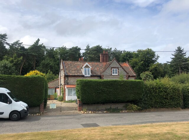
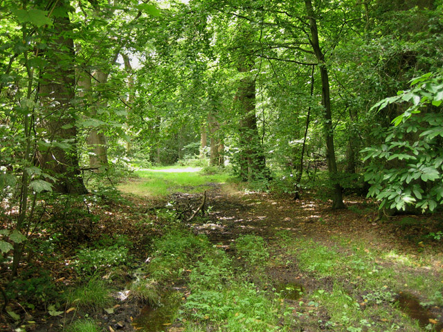
Aylmerton is a small village located in the county of Norfolk, England. Situated approximately four miles south of Cromer, it lies within the North Norfolk District. The village is set amidst picturesque countryside, surrounded by fields and woodlands, making it an ideal destination for nature lovers and outdoor enthusiasts.
Historically, Aylmerton was mentioned in the Domesday Book of 1086, and evidence of its medieval past can still be seen today in the form of St. John the Baptist Church, a Grade I listed building dating back to the 13th century. The church features impressive architectural details and serves as a reminder of the village's rich heritage.
Despite its small size, Aylmerton offers a range of amenities to its residents and visitors. The village is home to a primary school, ensuring educational facilities are easily accessible. Additionally, there are a few local businesses, including a pub and a village hall, providing a sense of community and social gathering spaces.
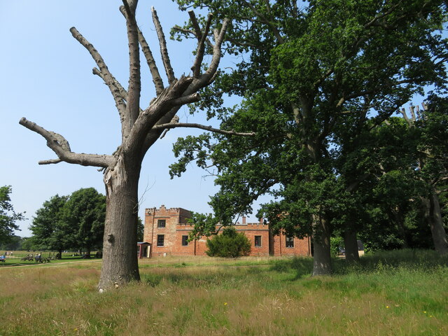
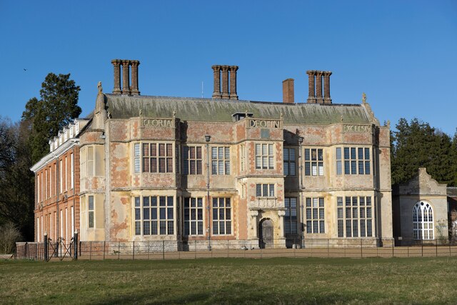
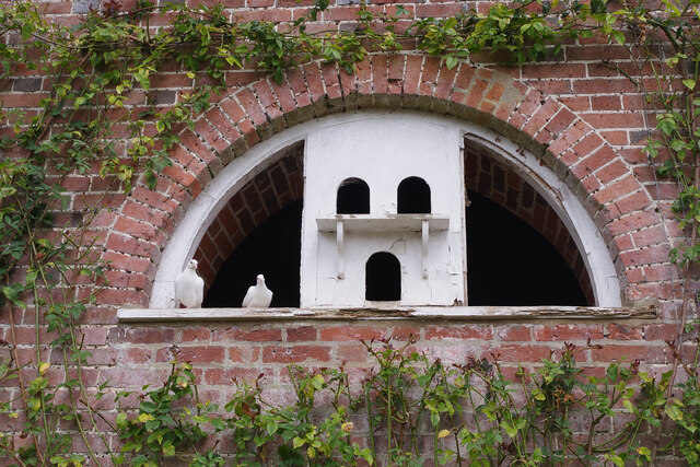
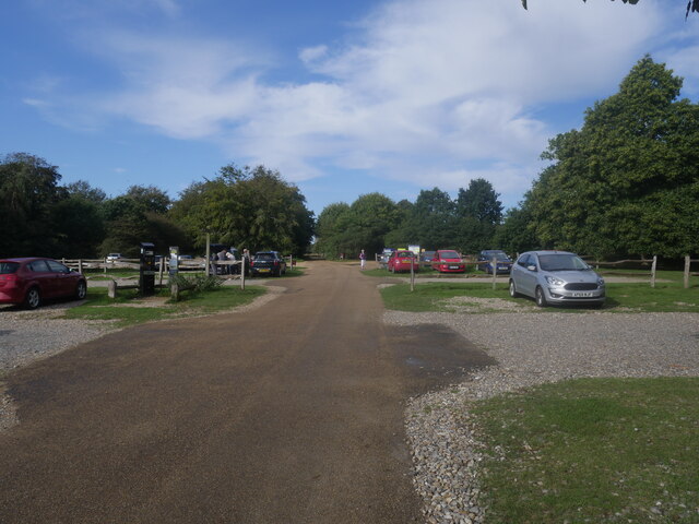
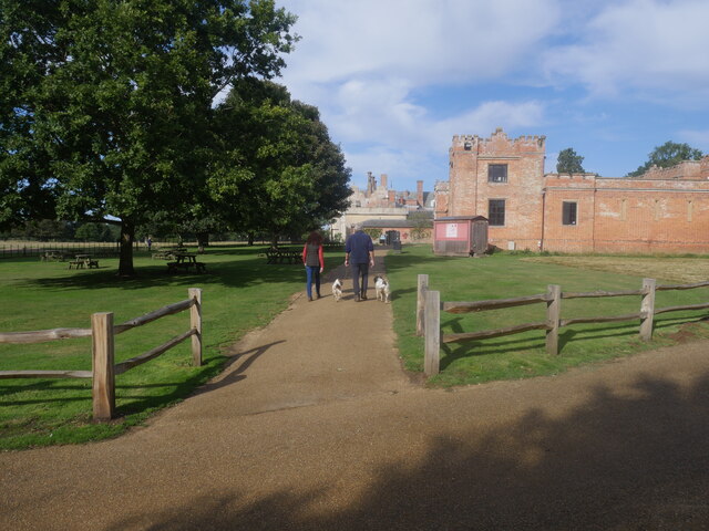
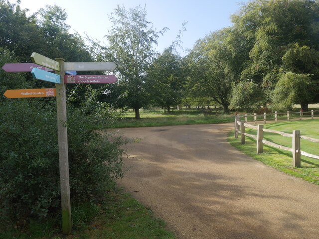
For those seeking recreational activities, Aylmerton is surrounded by an abundance of natural beauty. The village is close to the Norfolk Coast Area of Outstanding Natural Beauty, offering stunning coastal walks and sandy beaches. Moreover, the nearby National Trust-owned Felbrigg Hall provides an opportunity for visitors to explore a grand 17th-century country house and its landscaped gardens.
Overall, Aylmerton is a charming village that combines historical charm with natural beauty, making it an appealing destination for both residents and tourists looking to experience the tranquility of the Norfolk countryside.
If you have any feedback on the listing, please let us know in the comments section below.
Aylmerton Images
Images are sourced within 2km of 52.920707/1.248291 or Grid Reference TG1840. Thanks to Geograph Open Source API. All images are credited.


Aylmerton is located at Grid Ref: TG1840 (Lat: 52.920707, Lng: 1.248291)
Administrative County: Norfolk
District: North Norfolk
Police Authority: Norfolk
What 3 Words
///sketch.bookings.signal. Near Sheringham, Norfolk
Nearby Locations
Related Wikis
Beacon Hill, Norfolk
Beacon Hill is the highest point in the English county of Norfolk. The hill is located 0.75 miles (1.2 km) south of the village of West Runton on the North...

Aylmerton
Aylmerton is a village in the county of Norfolk, England. It is in the area of North Norfolk and lies 2.2 miles (3.5 km) south of the North Sea, 3.2 miles...
Felbrigg Woods
Felbrigg Woods is a 164.6-hectare (407-acre) biological Site of Special Scientific Interest south-west of Cromer in Norfolk. It is the main part of the...

Runton
Runton is a civil parish in the English county of Norfolk consisting of the villages of East Runton and West Runton. It covers an area of 5.44 km2 (2.10...
Wood-Dene School
Wood-Dene School was a private school for the creative arts in the English county of Norfolk in Great Britain, closing during March 2010. The school was...

Felbrigg Hall
Felbrigg Hall is a 17th-century English country house near the village of that name in Norfolk. Part of a National Trust property, the unaltered 17th-century...

West Runton railway station
West Runton railway station is on the Bittern Line in Norfolk, England, serving the village of West Runton. It is 28 miles 55 chains (46.2 km) down the...

Briton's Lane Gravel Pit
Briton's Lane Gravel Pit is a 21.5-hectare (53-acre) geological Site of Special Scientific Interest east of Sheringham in Norfolk. It is a Geological...
Nearby Amenities
Located within 500m of 52.920707,1.248291Have you been to Aylmerton?
Leave your review of Aylmerton below (or comments, questions and feedback).