Aylestone Park
Settlement in Leicestershire
England
Aylestone Park
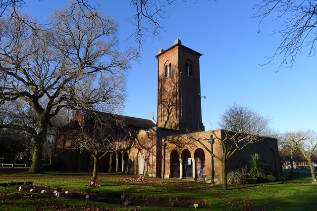
![Church of St Hugh of Lincoln, Eyres Monsell, Leicester &quot;Built 1955-58, an excellent representative of a mid-20th century parish church designed by the practice of the nationally recognised architect Sir Basil Spence.&quot; [Local Heritage Asset Register, Leicester city Council]. This is an &#039;Anglo Catholic&#039; church <span class="nowrap"><a title="https://sthugheyresmonsell.org.uk/" rel="nofollow ugc noopener" href="https://sthugheyresmonsell.org.uk/">Link</a><img style="margin-left:2px;" alt="External link" title="External link - shift click to open in new window" src="https://s1.geograph.org.uk/img/external.png" width="10" height="10"/></span> within the Church of England.](https://s0.geograph.org.uk/geophotos/07/07/40/7074084_abff8c7a.jpg)
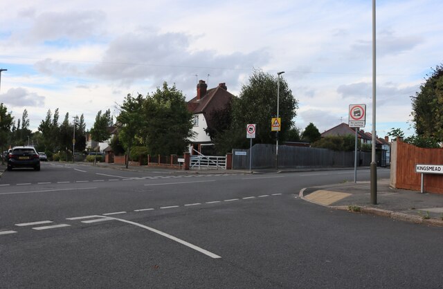
Aylestone Park is a suburban area located in the city of Leicester, in the county of Leicestershire, England. It is situated approximately 3 miles south-west of the city center and covers an area of about 1.5 square miles. Aylestone Park is primarily a residential area, known for its leafy streets, green spaces, and community atmosphere.
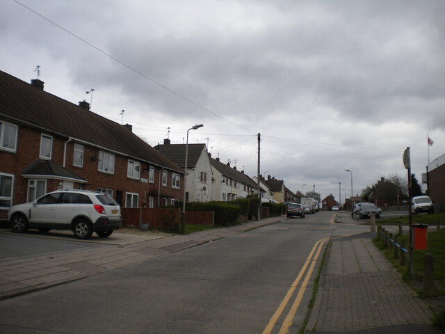
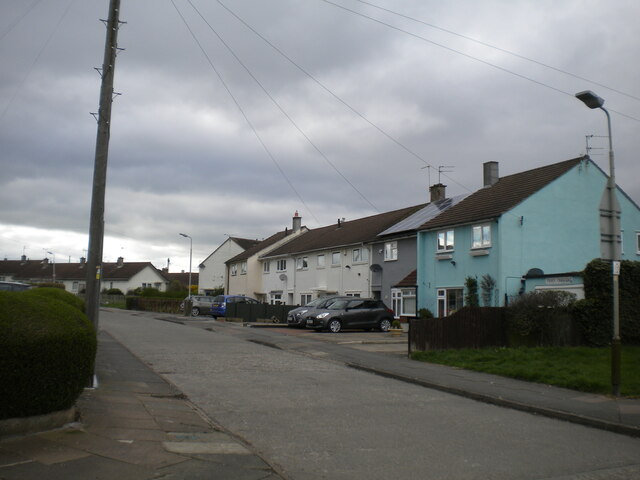
There is a range of housing in Aylestone Park, including detached houses, semi-detached houses, and bungalows, making it an attractive location for families and professionals alike. The area is well-served by public transportation, with regular bus services connecting it to the city center and other nearby areas.
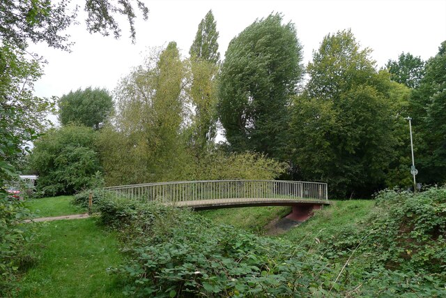
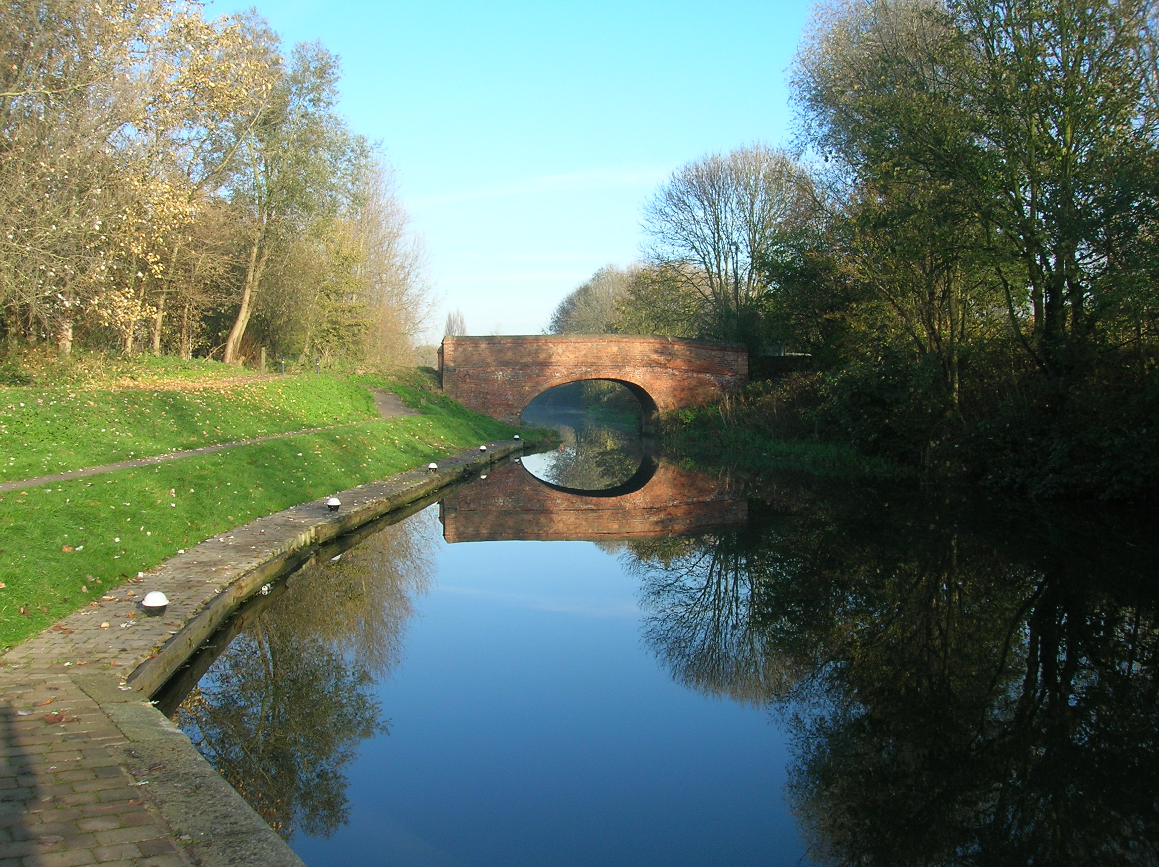
Aylestone Park is home to several parks and green spaces, including the expansive Aylestone Meadows Nature Reserve. This nature reserve offers a peaceful escape from the hustle and bustle of the city, with riverside walks, picnic areas, and abundant wildlife. It is a popular spot for nature lovers, walkers, and cyclists.
In terms of amenities, Aylestone Park has a number of local shops, including convenience stores, a post office, and a pharmacy, providing residents with everyday necessities. There are also several primary and secondary schools in the area, making it a convenient place for families with children.
Overall, Aylestone Park offers a pleasant and peaceful living environment, with its green spaces, community feel, and proximity to the city center. It is a sought-after location for those looking for a suburban lifestyle within easy reach of urban amenities.
If you have any feedback on the listing, please let us know in the comments section below.
Aylestone Park Images
Images are sourced within 2km of 52.60725/-1.142732 or Grid Reference SK5801. Thanks to Geograph Open Source API. All images are credited.


Aylestone Park is located at Grid Ref: SK5801 (Lat: 52.60725, Lng: -1.142732)
Unitary Authority: Leicester
Police Authority: Leicestershire
What 3 Words
///asks.scope.themes. Near Leicester, Leicestershire
Nearby Locations
Related Wikis

Grace Road
Grace Road, known for sponsorship reasons as the Uptonsteel County Ground, Grace Road, is a cricket ground in Leicester, England. It is the home ground...

Friar Lane & Epworth F.C.
Friar Lane & Epworth F.C. is a football club based in Aylestone, which is a suburb of Leicester, Leicestershire, England. They currently play in the Leicestershire...

Leicester South (UK Parliament constituency)
Leicester South is a constituency, recreated in 1974, represented in the House of Commons of the UK Parliament since 2011 by Jonathan Ashworth of the Labour...
Aylestone
Aylestone is a suburb of Leicester, England, southwest of the city centre and to the east of the River Soar. It was formerly a separate village, but the...

Saffron Lane sports centre
Saffron Lane sports centre is a large 8 lane (9 lane straight) 400 metre synthetic floodlight lit running track which includes a steeplechase water jump...
Leicester St Andrews F.C.
Leicester St Andrews Football Club are a football club based in Aylestone, a suburb of Leicester, England. They play in the United Counties League Division...
St Andrew's Church, Aylestone
St Andrew's Church is a church in Aylestone, Leicestershire. It is a Grade II* listed building. == History == The church is built of Triassic sandstone...
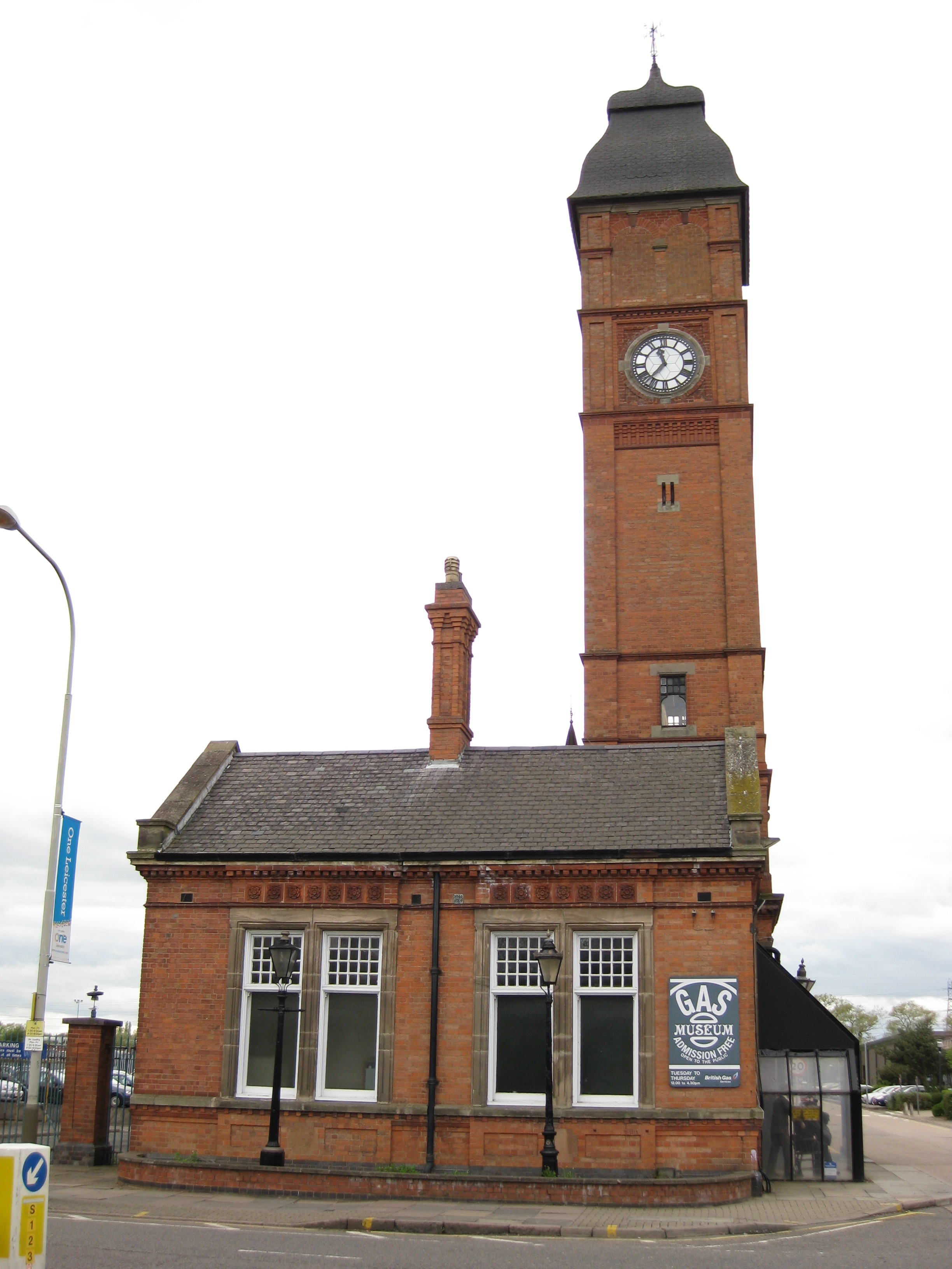
Gas Museum
The Gas Museum, also known as the National Gas Museum, is situated in the former gatehouse of a gasworks in Leicester, England, and deals with the history...
Nearby Amenities
Located within 500m of 52.60725,-1.142732Have you been to Aylestone Park?
Leave your review of Aylestone Park below (or comments, questions and feedback).