Aylmerton
Civil Parish in Norfolk North Norfolk
England
Aylmerton

Aylmerton is a small civil parish located in the county of Norfolk, England. It is situated approximately 3 miles south of the coastal town of Sheringham and 3 miles north of the market town of Aylsham. The parish covers an area of around 3 square miles and has a population of around 300 people.
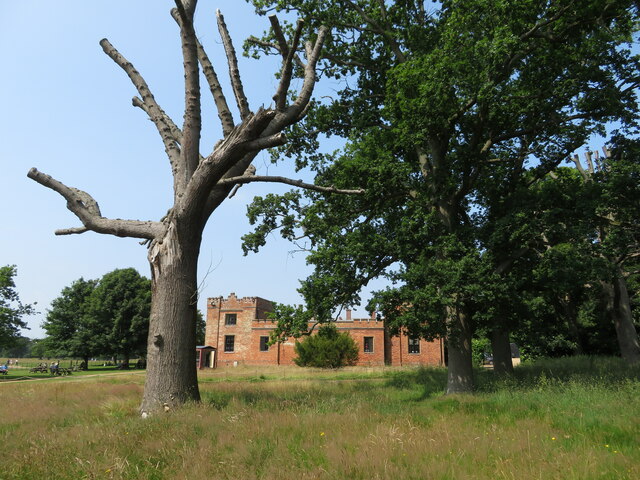
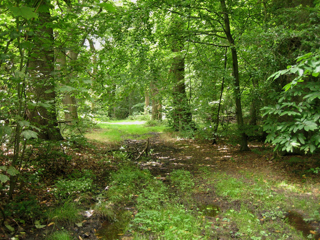
The village of Aylmerton is known for its picturesque countryside and charming rural setting. It is surrounded by rolling hills and fields, making it a popular destination for outdoor enthusiasts and nature lovers. The area is also home to several walking trails and footpaths, providing opportunities for leisurely strolls and exploring the beautiful surroundings.
In terms of amenities, Aylmerton has a small primary school that serves the local community and neighboring areas. The village also has a parish church, St. John the Baptist, which dates back to the 13th century and is a significant historical feature of the area.
Aylmerton is well-connected to nearby towns and cities. The A148 road passes through the village, providing easy access to the wider Norfolk region. The village is also served by regular bus services, making it convenient for residents to travel to other parts of the county.
Overall, Aylmerton offers a peaceful and idyllic setting for those seeking a quiet rural lifestyle. Its close proximity to both the coast and larger towns ensures residents have access to a range of amenities and attractions.
If you have any feedback on the listing, please let us know in the comments section below.
Aylmerton Images
Images are sourced within 2km of 52.913085/1.243212 or Grid Reference TG1840. Thanks to Geograph Open Source API. All images are credited.


Aylmerton is located at Grid Ref: TG1840 (Lat: 52.913085, Lng: 1.243212)
Administrative County: Norfolk
District: North Norfolk
Police Authority: Norfolk
What 3 Words
///proofs.oxidation.automatic. Near Sheringham, Norfolk
Nearby Locations
Related Wikis

Aylmerton
Aylmerton is a village in the county of Norfolk, England. It is in the area of North Norfolk and lies 2.2 miles (3.5 km) south of the North Sea, 3.2 miles...

Felbrigg Hall
Felbrigg Hall is a 17th-century English country house near the village of that name in Norfolk. Part of a National Trust property, the unaltered 17th-century...
Felbrigg Woods
Felbrigg Woods is a 164.6-hectare (407-acre) biological Site of Special Scientific Interest south-west of Cromer in Norfolk. It is the main part of the...

Wood-Dene School
Wood-Dene School was a private school for the creative arts in the English county of Norfolk in Great Britain, closing during March 2010. The school was...
Beacon Hill, Norfolk
Beacon Hill is the highest point in the English county of Norfolk. The hill is located 0.75 miles (1.2 km) south of the village of West Runton on the North...

St Margaret's Church, Felbrigg
St Margaret's Church is a Grade II* listed parish church in the Church of England Diocese of Norwich in Felbrigg, Norfolk. == History == The church is...

Briton's Lane Gravel Pit
Briton's Lane Gravel Pit is a 21.5-hectare (53-acre) geological Site of Special Scientific Interest east of Sheringham in Norfolk. It is a Geological...

East Beckham
East Beckham is a village and a civil parish in the English county of Norfolk. The village is 23.4 miles (37.7 km) north of Norwich, 5 miles (8 km) south...
Nearby Amenities
Located within 500m of 52.913085,1.243212Have you been to Aylmerton?
Leave your review of Aylmerton below (or comments, questions and feedback).