Aylesham
Civil Parish in Kent Dover
England
Aylesham

Aylesham is a civil parish situated in the county of Kent, England. Located approximately 10 miles south-east of Canterbury, it lies within the administrative district of Dover. The village is nestled in the picturesque countryside of the North Downs.
Originally developed as a mining village in the early 20th century, Aylesham has undergone significant changes over the years. The coal mining industry played a central role in the village's growth, and the Aylesham Colliery was an important source of employment for the local community. However, the colliery closed in 1988, leading to a decline in the industry and subsequent economic challenges.
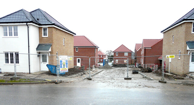
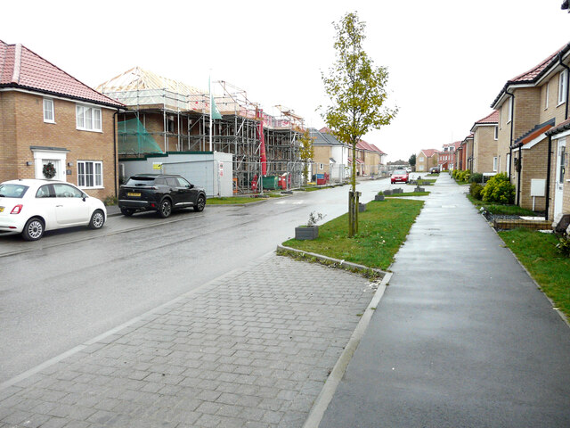
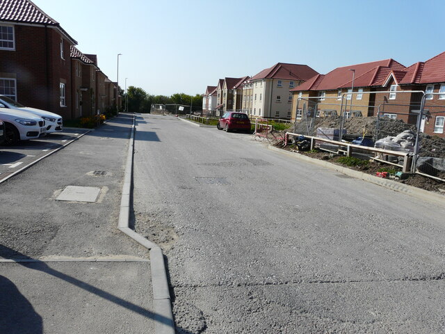
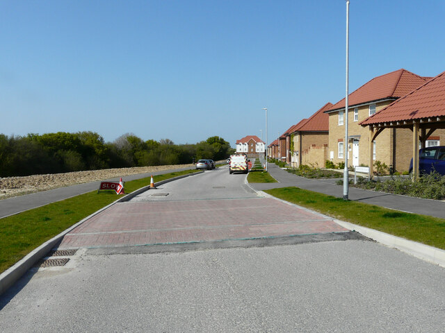
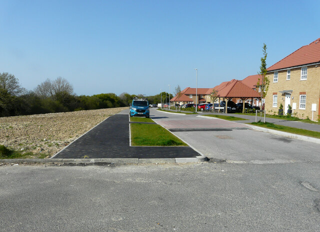
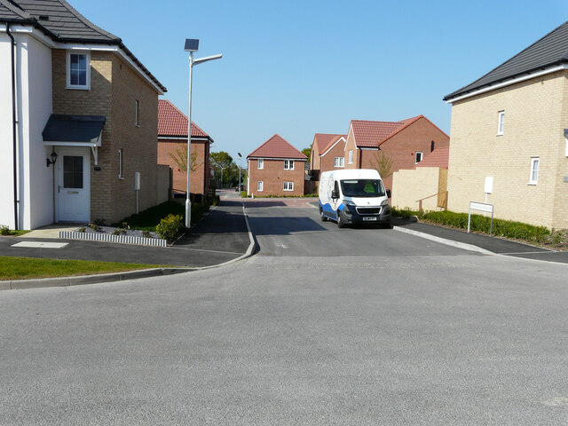
Despite the closure of the colliery, Aylesham has managed to reinvent itself as a thriving residential area. The village boasts a range of amenities, including shops, pubs, and a primary school. It also benefits from excellent transport links, with the A2 road providing easy access to nearby towns and cities.
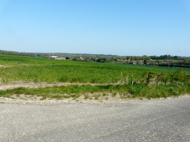
Aylesham is surrounded by beautiful countryside, making it an attractive location for outdoor enthusiasts. The area is renowned for its scenic walks and nature trails, allowing residents and visitors to explore the stunning Kent Downs. Additionally, the village is within close proximity to the popular coastal towns of Dover and Folkestone, offering further recreational opportunities.
Overall, Aylesham is a charming village with a rich history and a strong sense of community. Its picturesque location, coupled with its amenities and accessibility, makes it an appealing place to live or visit in the heart of the Kent countryside.
If you have any feedback on the listing, please let us know in the comments section below.
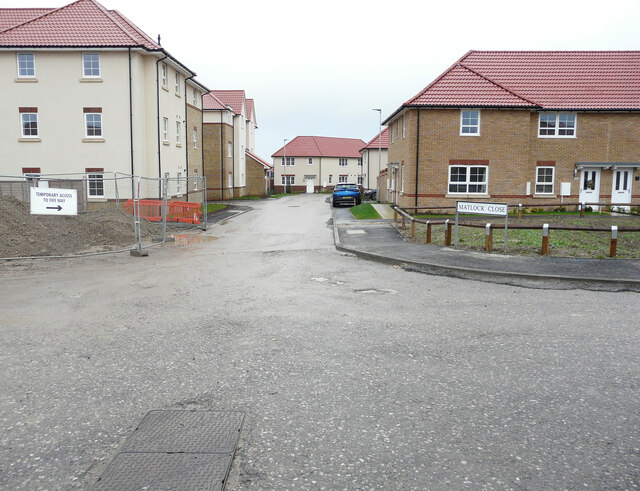
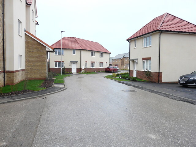
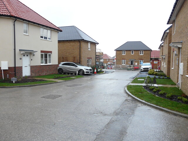
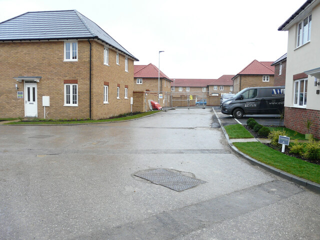
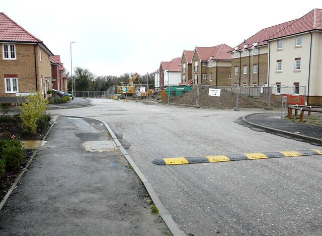
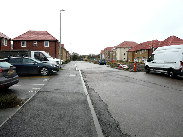
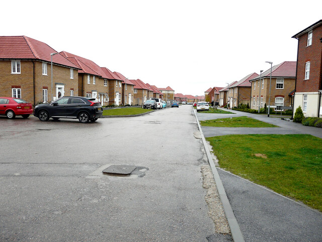
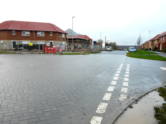
Aylesham Images
Images are sourced within 2km of 51.230729/1.20639 or Grid Reference TR2352. Thanks to Geograph Open Source API. All images are credited.


Aylesham is located at Grid Ref: TR2352 (Lat: 51.230729, Lng: 1.20639)
Administrative County: Kent
District: Dover
Police Authority: Kent
What 3 Words
///view.champions.opposite. Near Aylesham, Kent
Related Wikis
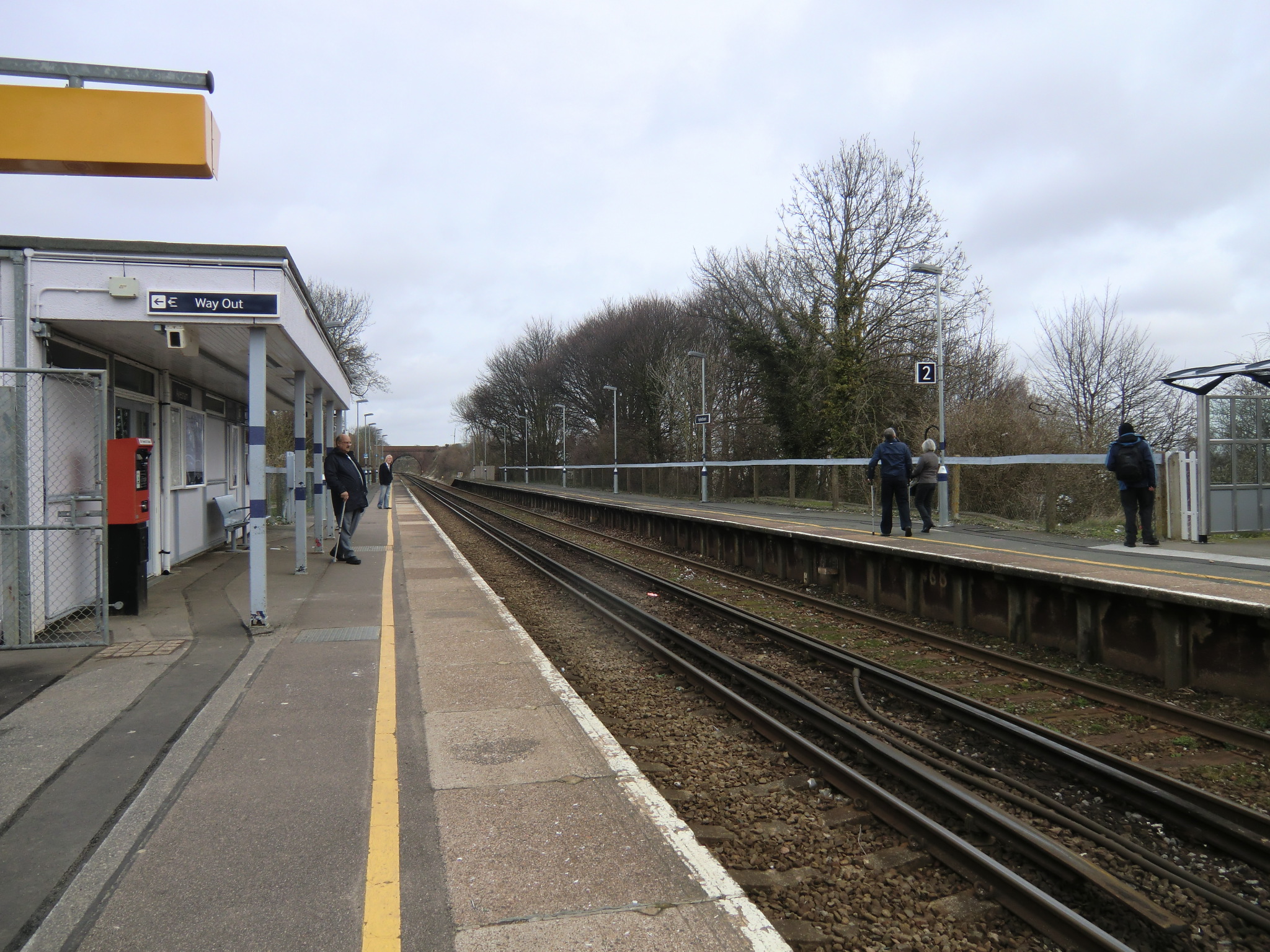
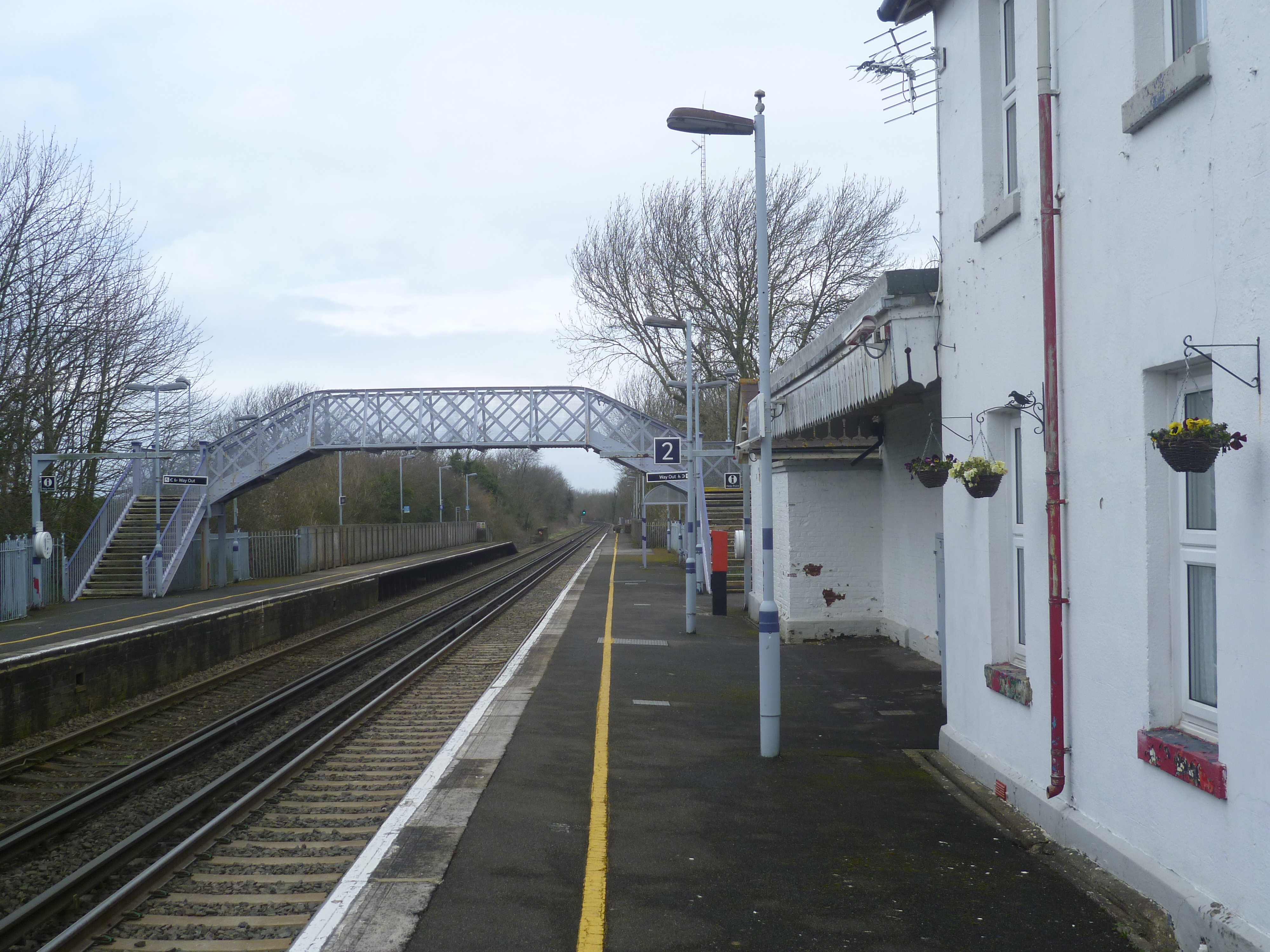
Aylesham railway station
Aylesham railway station is on the Dover branch of the Chatham Main Line in England, and serves the village of Aylesham, Kent. It is 68 miles 66 chains...

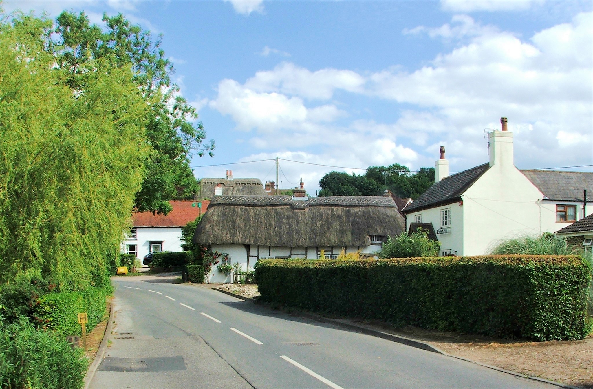
Aylesham
Aylesham is a village and civil parish in the Dover district of Kent, England. The village is 6.5 miles (10.5 km) southeast of the cathedral city of Canterbury...
Adisham railway station
Adisham railway station is on the Dover branch of the Chatham Main Line in England, and serves the village of Adisham, Kent. It is 67 miles 60 chains...
Nonington
Nonington (variously, Nonnington, Nunyngton, Nonnyngton and Nunnington), is a civil parish and village in east Kent, halfway between the historic city...

Adisham
Adisham (formerly Adesham) is a village and civil parish in the English county of Kent. It is twinned with Campagne-lès-Hesdin in France. == Geography... ==

Snowdown
Snowdown is a hamlet near Dover in Kent, England. It was the location of one of the four chief collieries of the Kent coalfield, which closed in 1987....

Snowdown railway station
Snowdown railway station is on the Dover branch of the Chatham Main Line in England, and serves the hamlet of Snowdown, Kent. It is 69 miles 60 chains...

Goodnestone Park
Goodnestone Park is a stately home and gardens in the southern part of the village of Goodnestone, Dover, Kent. It is approximately 7 miles (11 km) from...
Nearby Amenities
Located within 500m of 51.230729,1.20639Have you been to Aylesham?
Leave your review of Aylesham below (or comments, questions and feedback).