Alder Carr
Wood, Forest in Suffolk Ipswich
England
Alder Carr
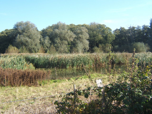
Alder Carr, Suffolk, also known as Alder Carr Farm, is a charming woodland and forest area located in the county of Suffolk, England. Covering an expansive area, this nature reserve is a haven for wildlife and offers visitors a peaceful retreat into the beauty of nature.
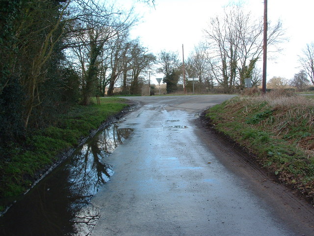
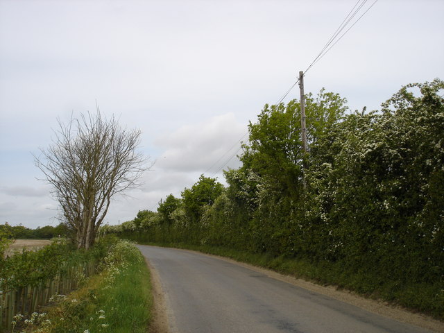
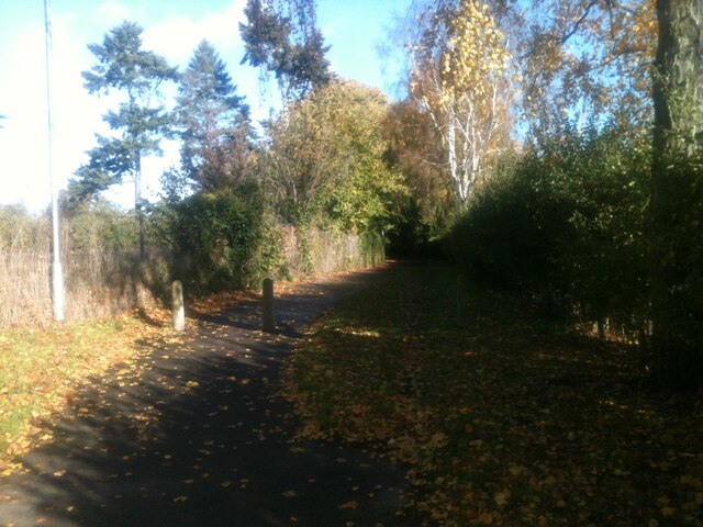
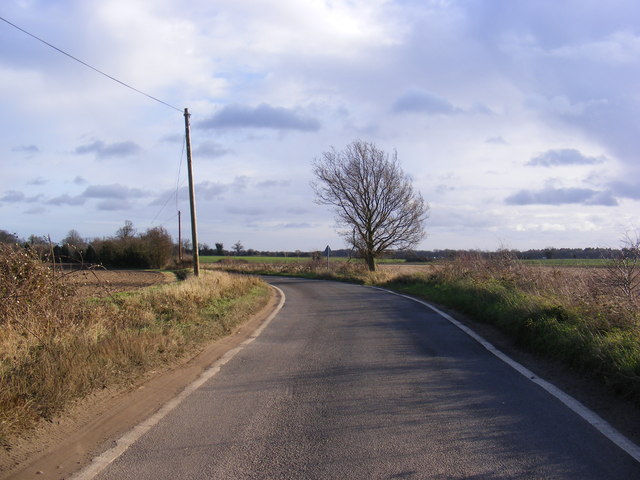
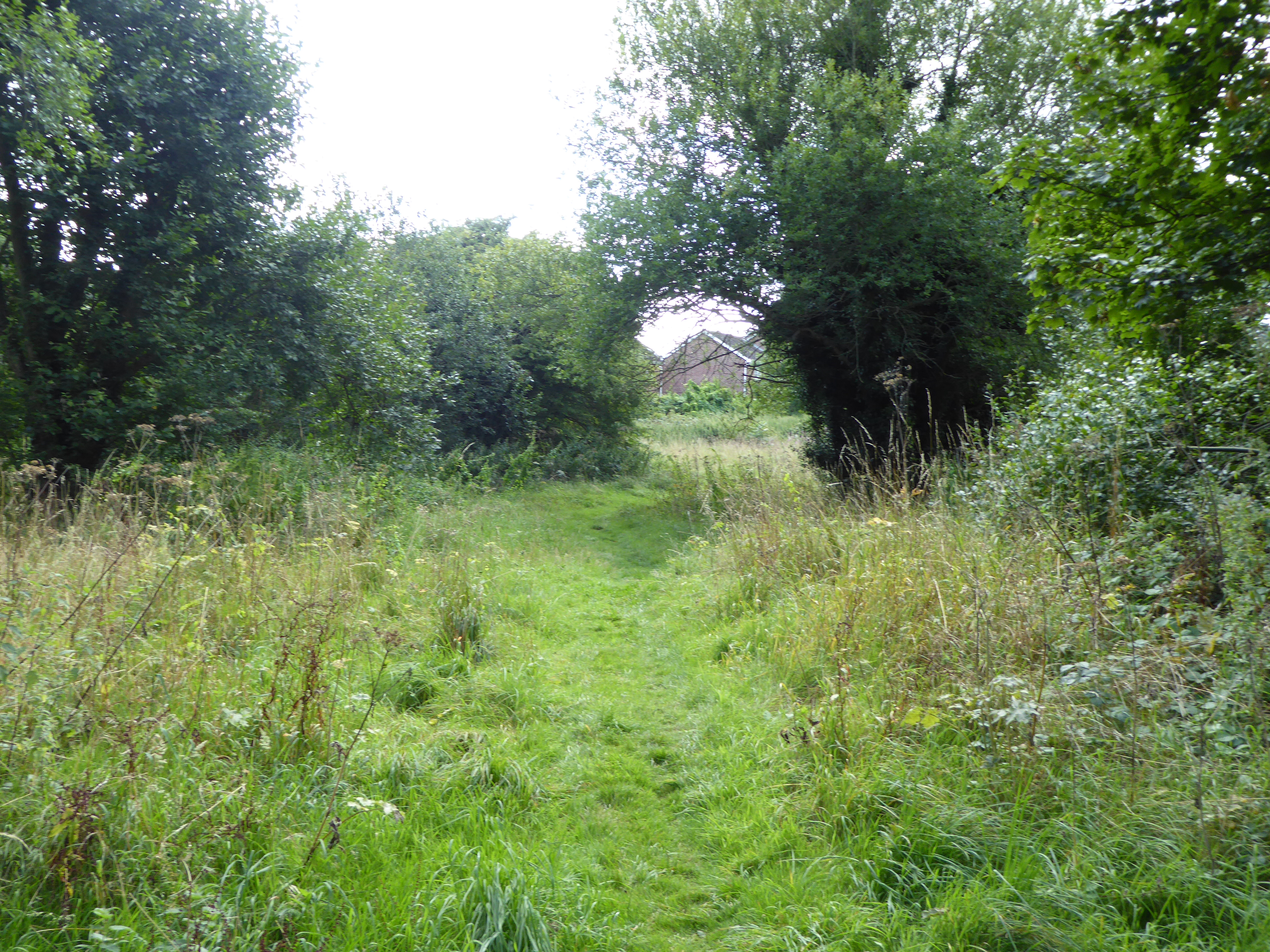
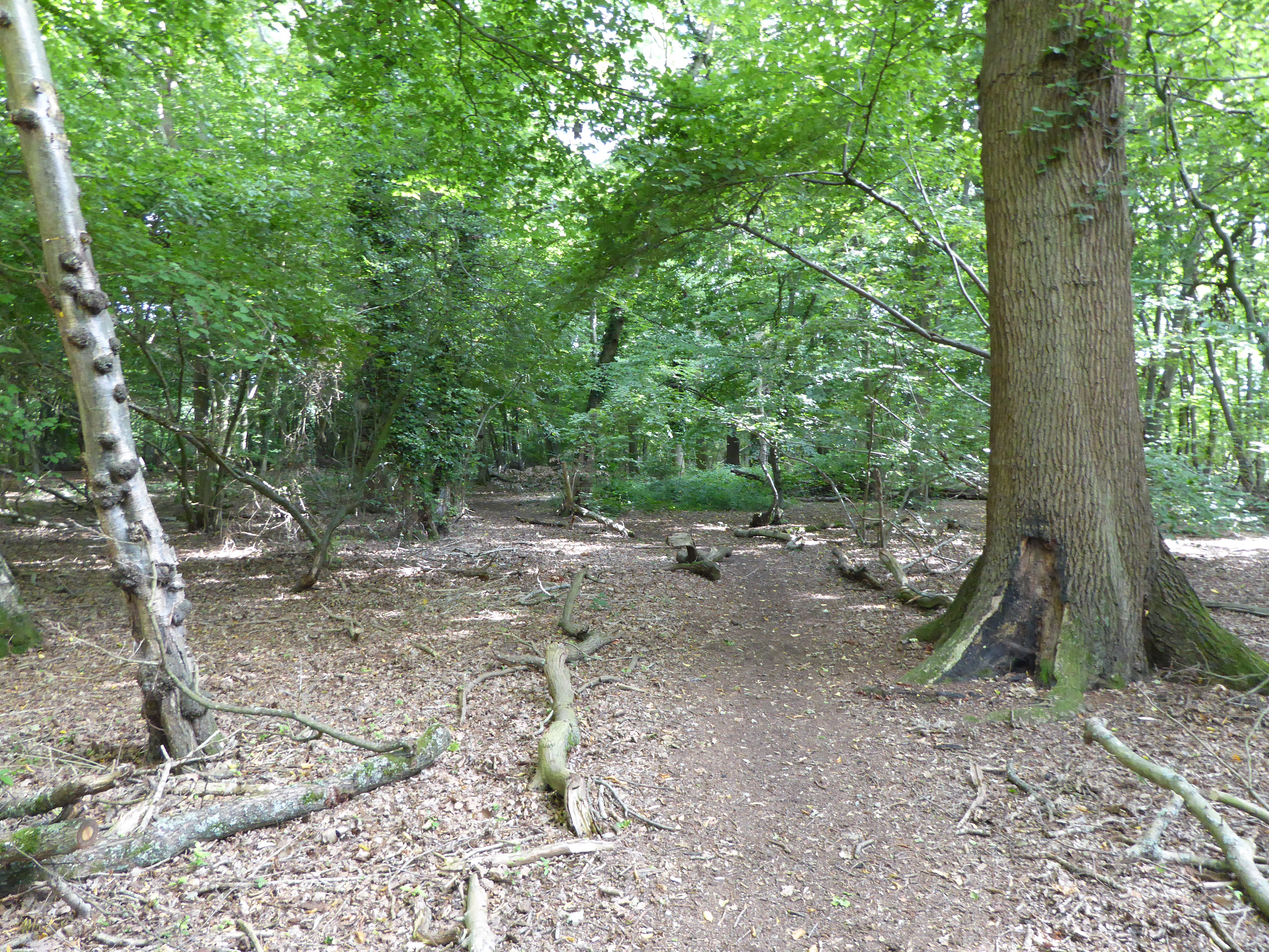
The primary attraction of Alder Carr is its picturesque woodland, featuring a variety of tree species such as alder, oak, and beech. These trees create a dense canopy, providing shade and creating a serene atmosphere for visitors to explore. The forest floor is carpeted with vibrant wildflowers and mosses, adding to the natural splendor of the area.
In addition to its stunning scenery, Alder Carr is home to a diverse range of wildlife. Birdwatchers will be delighted to spot various species such as woodpeckers, owls, and warblers. The forest is also inhabited by mammals including deer, foxes, and badgers, making it a popular destination for nature enthusiasts and photographers.
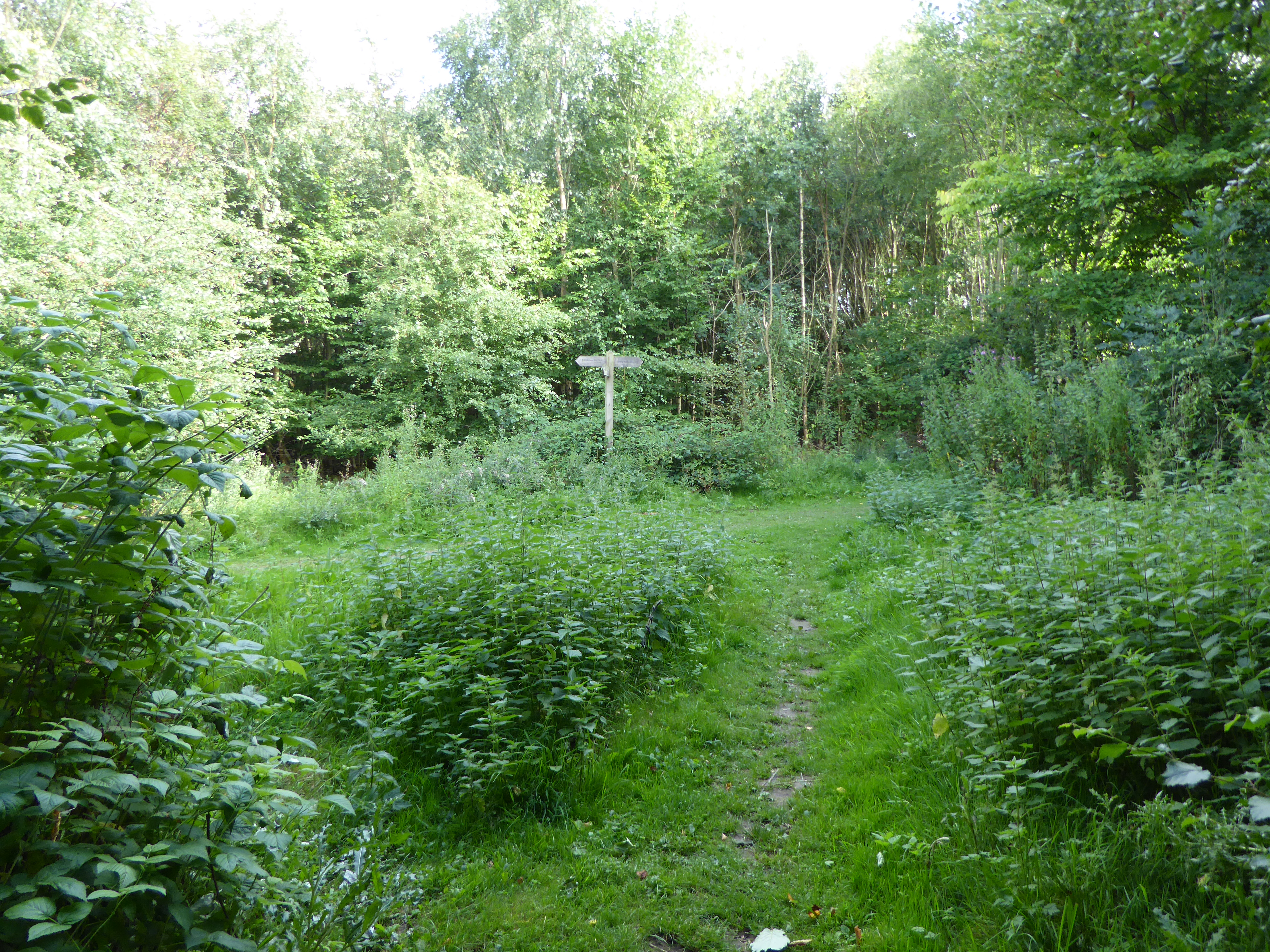
The reserve offers several walking trails for visitors to explore the woodland at their own pace. These trails are well-maintained and suitable for all ages and abilities. Along the way, informative signposts provide interesting facts about the local flora and fauna, enhancing the educational experience.
Alder Carr also boasts a charming café where visitors can indulge in refreshments, including homemade cakes and locally sourced produce. The café offers a welcoming atmosphere, making it an ideal spot to relax and soak in the tranquility of the surroundings.
Overall, Alder Carr, Suffolk is a must-visit destination for nature lovers and those seeking an escape from the hustle and bustle of everyday life. Its lush woodland, diverse wildlife, and well-maintained trails make it a perfect place to immerse oneself in the beauty of nature.
If you have any feedback on the listing, please let us know in the comments section below.
Alder Carr Images
Images are sourced within 2km of 52.031001/1.1336596 or Grid Reference TM1541. Thanks to Geograph Open Source API. All images are credited.
Alder Carr is located at Grid Ref: TM1541 (Lat: 52.031001, Lng: 1.1336596)
Administrative County: Suffolk
District: Ipswich
Police Authority: Suffolk
What 3 Words
///according.monk.lifetimes. Near Ipswich, Suffolk
Nearby Locations
Related Wikis

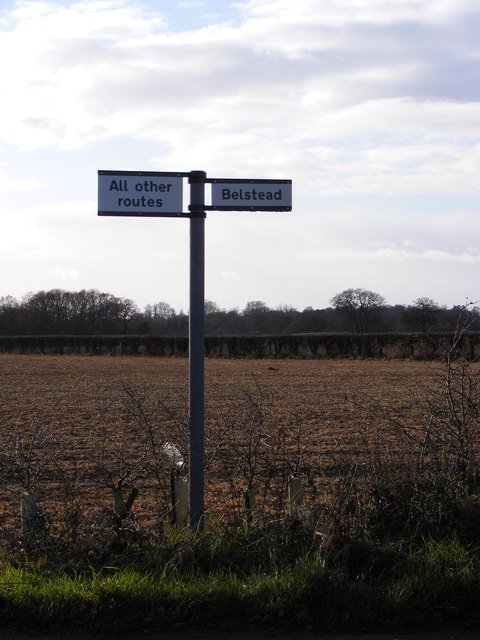
Bobbitshole, Belstead
Bobbitshole is a 1.7-hectare (4.2-acre) geological Site of Special Scientific Interest in Belstead, on the southern outskirts of Ipswich in Suffolk. It...
Stoke Park Wood
Stoke Park Wood is a 2.2 hectare Local Nature Reserve in Ipswich in Suffolk. It is owned and managed by Ipswich Borough Council.This ancient wood was formerly...
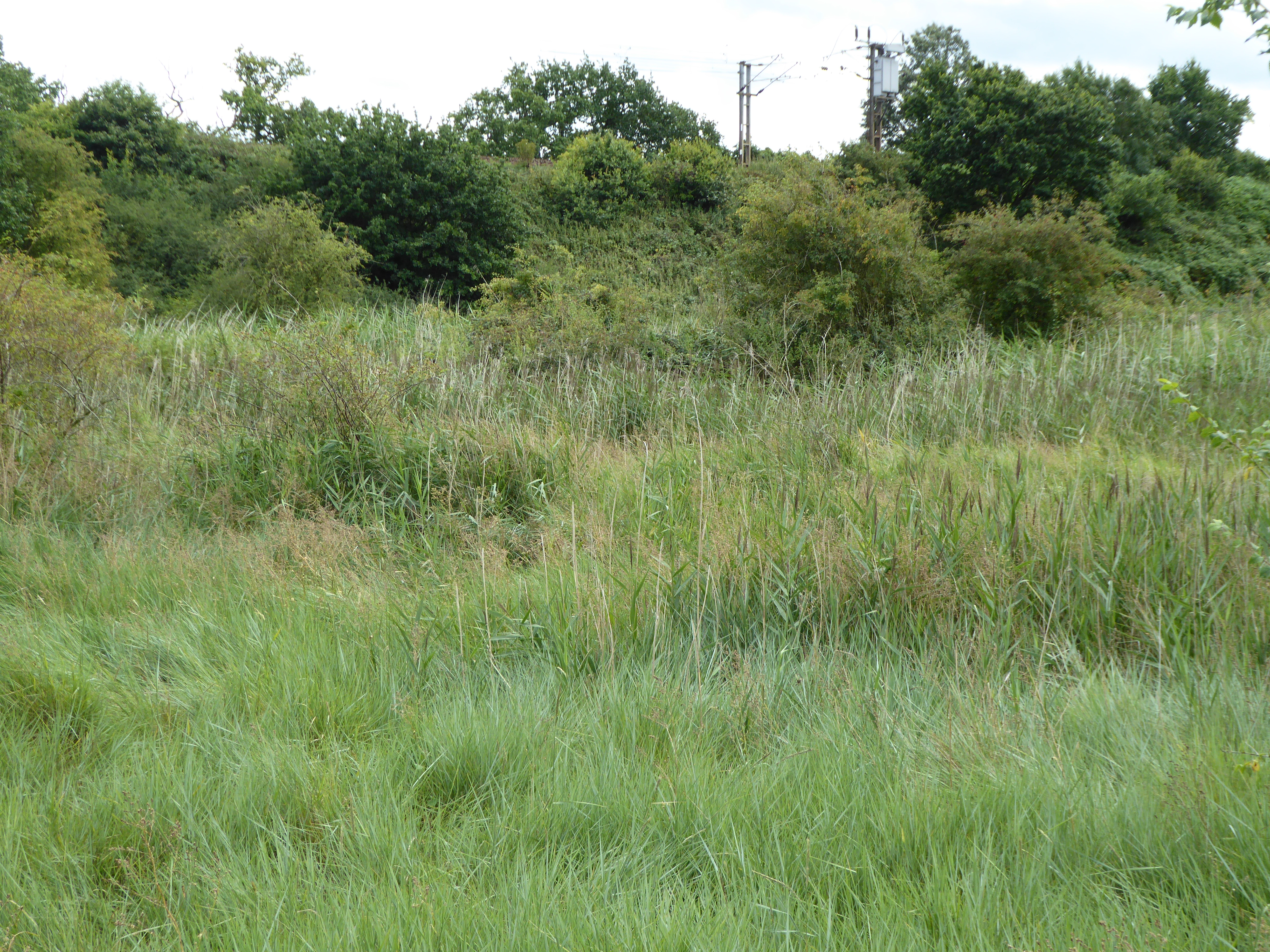
Bourne Park Reed Beds
Bourne Park Reed Beds is a 7.4 hectare Local Nature Reserve on the southern outskirts of Ipswich in Suffolk, United Kingdom. It is owned and managed by...
Bobbits Lane
Bobbits Lane is a 16.1 hectares (40 acres) Local Nature Reserve in Ipswich in Suffolk. It is owned by Ipswich Borough Council and managed by the Greenways...

Stoke Park, Suffolk
Stoke Park was a country estate located at the southern edge of the Stoke ridge. The estate was owned by the Barons Gwydyr, and sold in the 1920s to pay...
Spring Wood, Belstead
Spring Wood is a 5.5 hectare Local Nature Reserve east of Belstead, on the southern outskirts of Ipswich in Suffolk. It is owned and managed by Ipswich...
Millennium Wood, Ipswich
Millennium Wood is a 3.8 hectare Local Nature Reserve on the southern outskirts of Ipswich in Suffolk. It is owned by Suffolk County Council and managed...

Belstead Brook Hotel
The Belstead Brook Hotel in Ipswich, Suffolk is a building of historical significance. It was originally a 16th-century hunting lodge but was used later...
Related Videos

BLUES ARRIVE IN IPSWICH 🚶🔵 #shorts
Birmingham City fans arrive at Portman Road. #bcfc #birmingham #itfc #ipswichtown.

WalkIn IPSWICH | ENGLAND, UK | 4K HDR Walking Tour
Subscribe to WalkIn ▶️ https://www.youtube.com/@walkin.places?sub_confirmation=1 Let's WalkIn the most beautiful ...

Ipswich England in a Day - 1 hour from London, but should you visit?
So you might be thinking, 'Oh, Ipswich, what's there to see?' Well, buckle up, folks, 'cause we're about to blow your mind with a ...
Nearby Amenities
Located within 500m of 52.031001,1.1336596Have you been to Alder Carr?
Leave your review of Alder Carr below (or comments, questions and feedback).