Sandpit Covert

Wood, Forest in Suffolk Babergh

England

Sandpit Covert

Road Junction Junction of minor road with A137 near to Wherstead Suffolk.
Road Junction Credit: Keith Evans

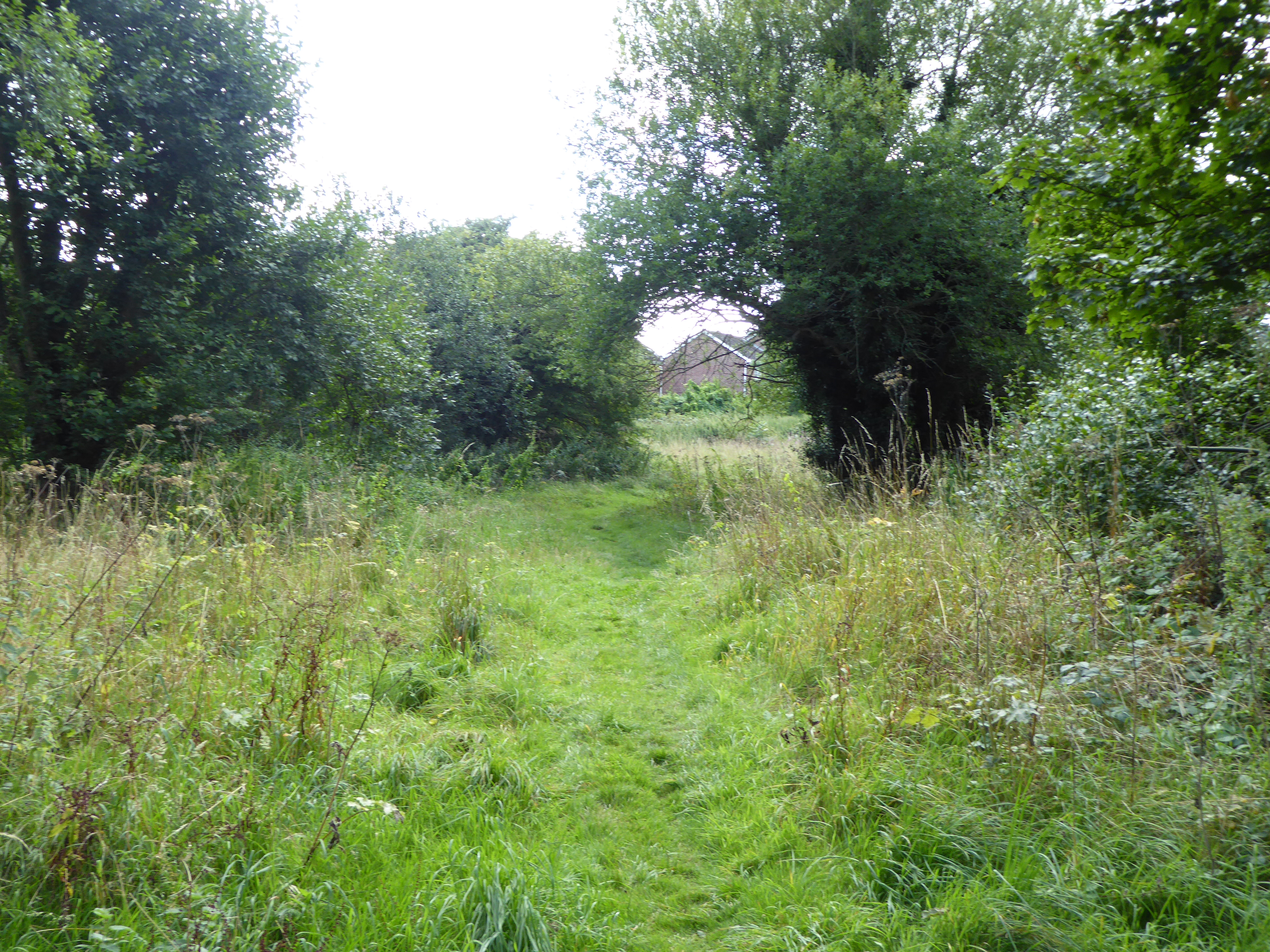
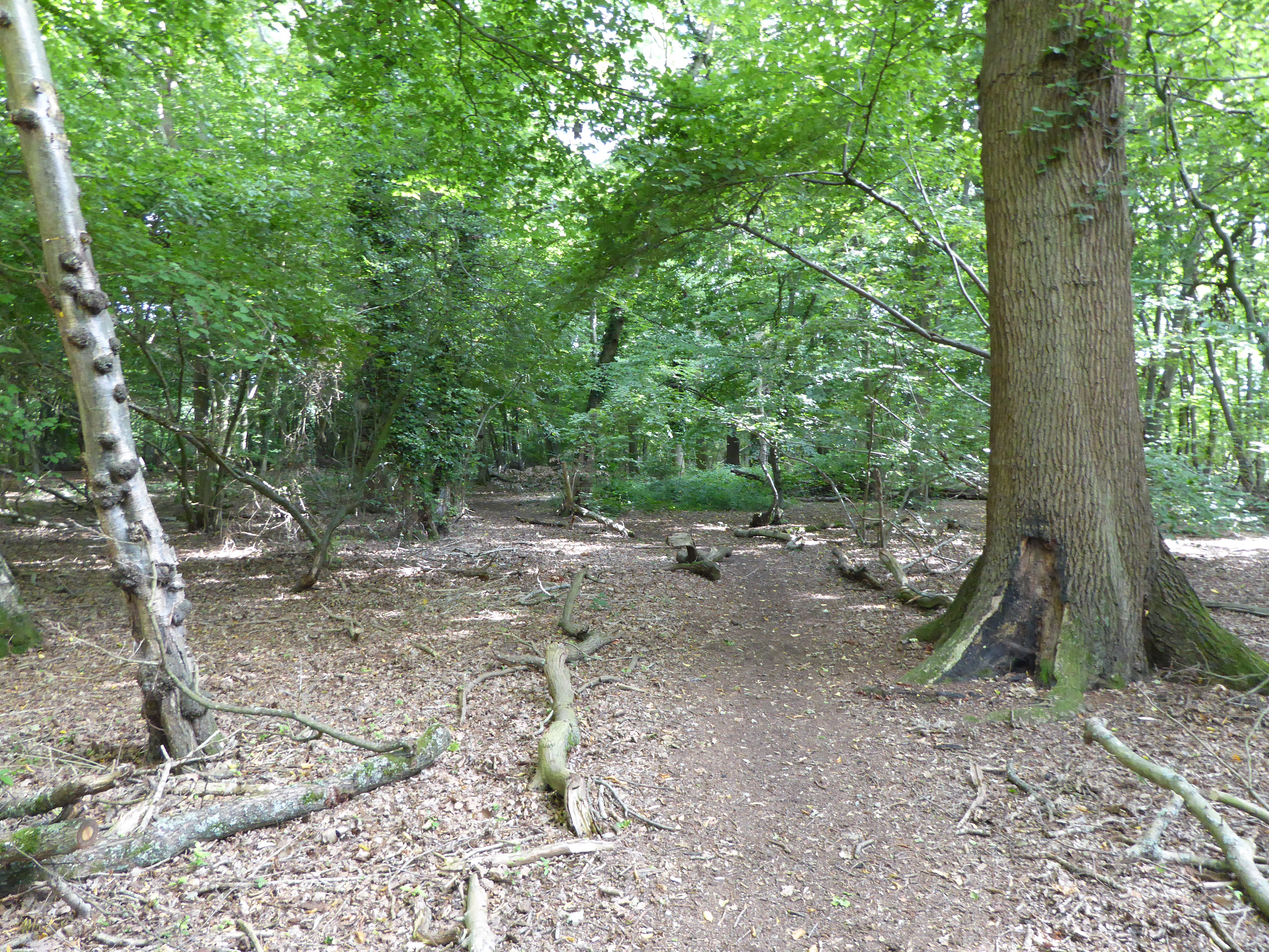
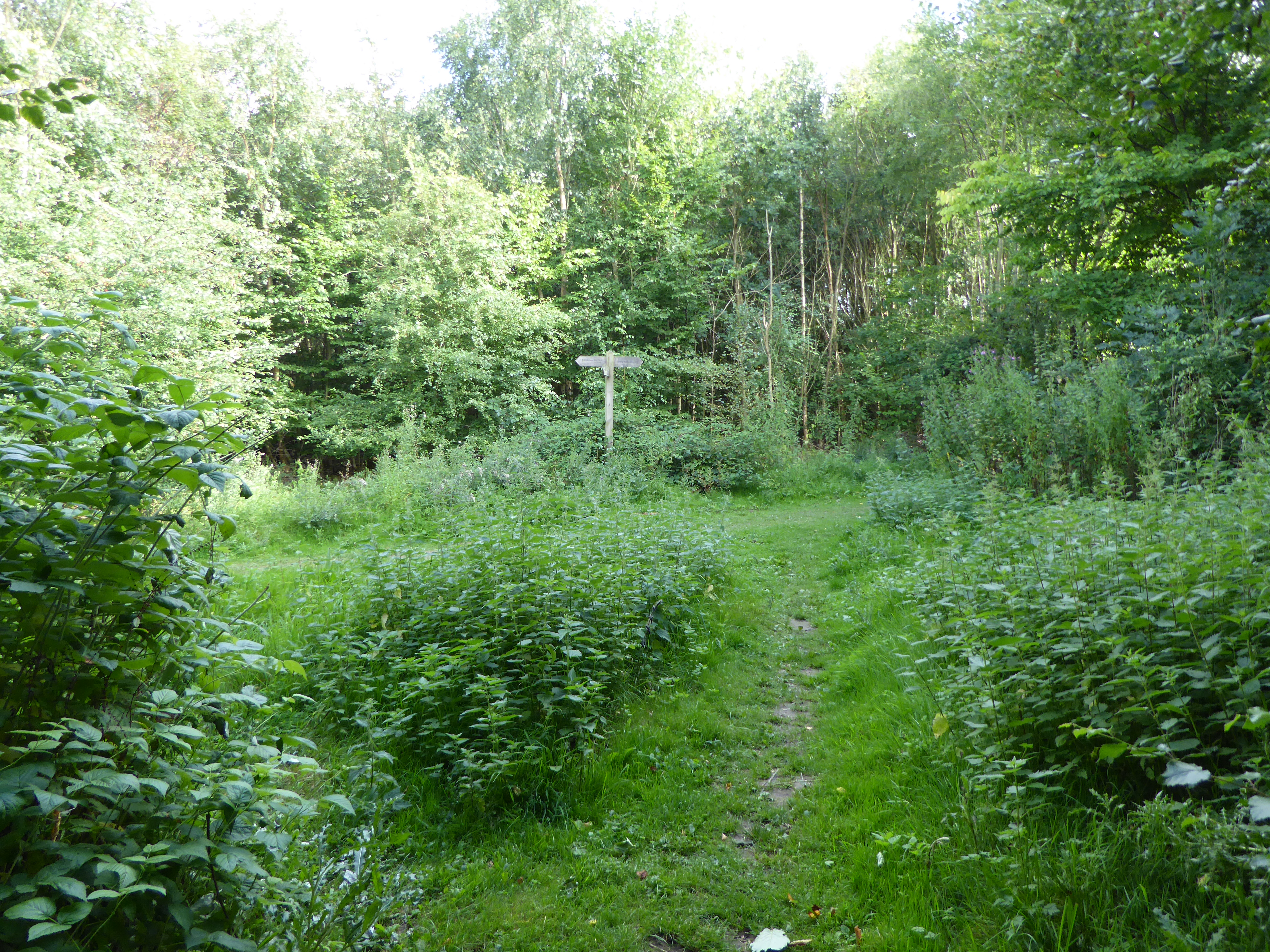
Sandpit Covert is a picturesque woodland located in Suffolk, England. Covering an area of approximately 50 acres, this tranquil forest is known for its natural beauty and diverse ecosystem. The woodland is situated near the village of Sandpit, making it easily accessible for visitors and locals alike.

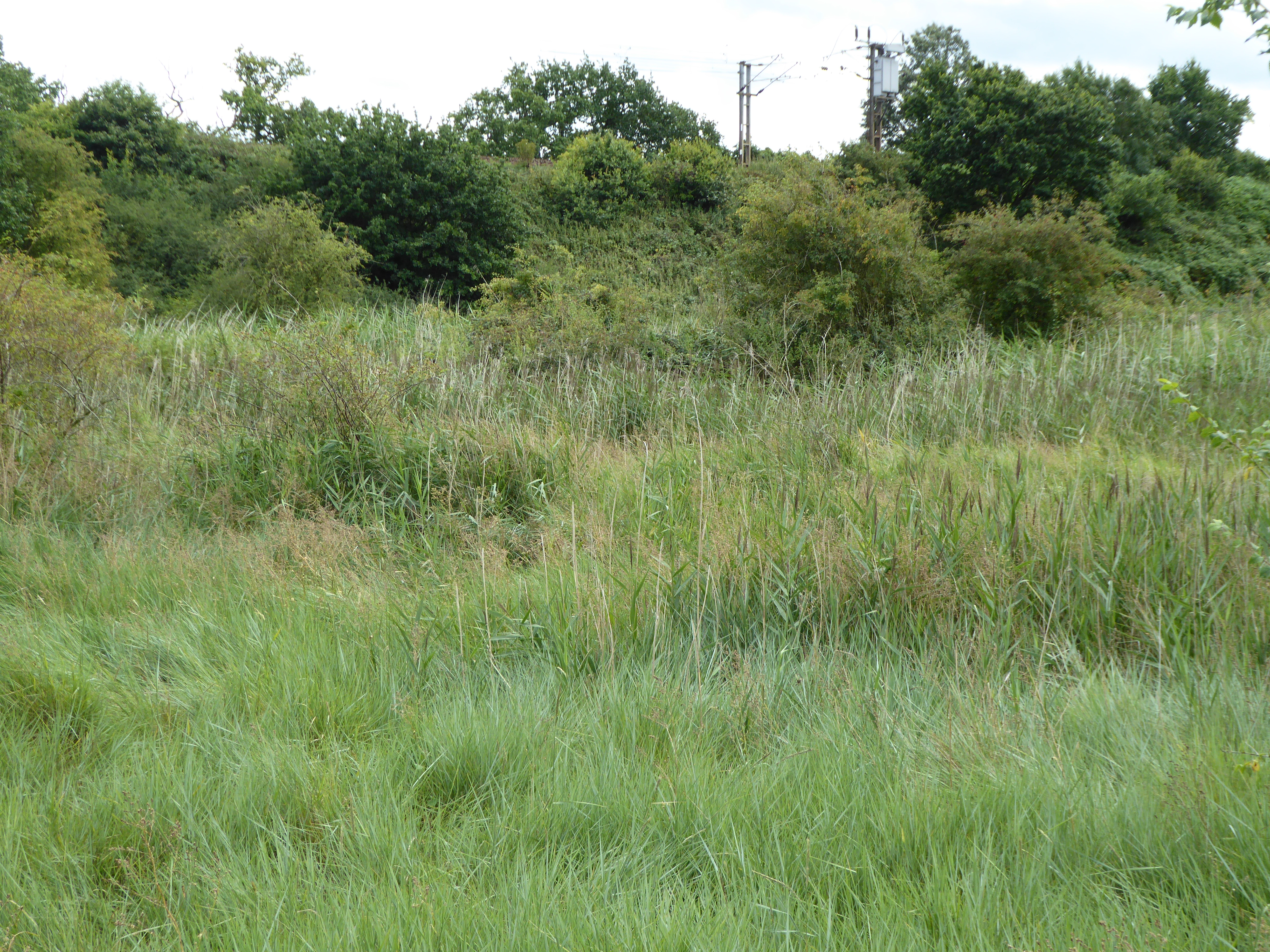
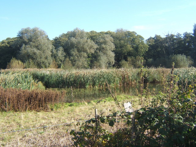
As the name suggests, Sandpit Covert features sandy soil, which is a unique characteristic of this particular forest. The sandy soil provides excellent drainage and allows for the growth of a variety of plant species. The woodland is predominantly comprised of native trees such as oak, birch, and beech, which create a dense canopy that provides shade and shelter for various wildlife.

The diverse range of flora and fauna found in Sandpit Covert makes it an ideal spot for nature enthusiasts and wildlife watchers. The forest is home to a wide array of bird species, including woodpeckers, owls, and various songbirds. Visitors may also catch a glimpse of small mammals like foxes, badgers, and rabbits, as well as a variety of insects and butterflies.

In addition to its natural beauty, Sandpit Covert offers various recreational activities for visitors. The forest features numerous walking trails, providing an opportunity to explore the woodland and enjoy its peaceful ambiance. The trails are well-maintained, making them suitable for both leisurely strolls and more challenging hikes.

Overall, Sandpit Covert in Suffolk is a delightful woodland that offers a serene escape from the bustle of everyday life. Its sandy soil, diverse wildlife, and beautiful trails make it a must-visit destination for nature lovers and outdoor enthusiasts.

If you have any feedback on the listing, please let us know in the comments section below.

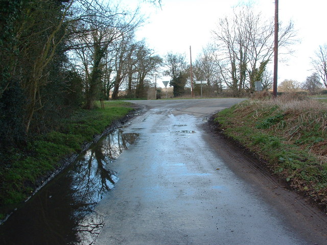
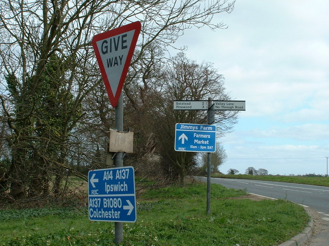
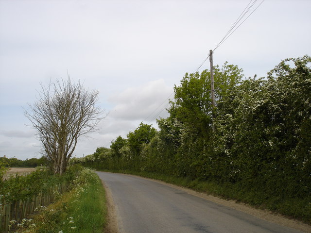
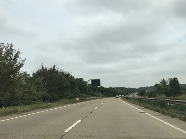
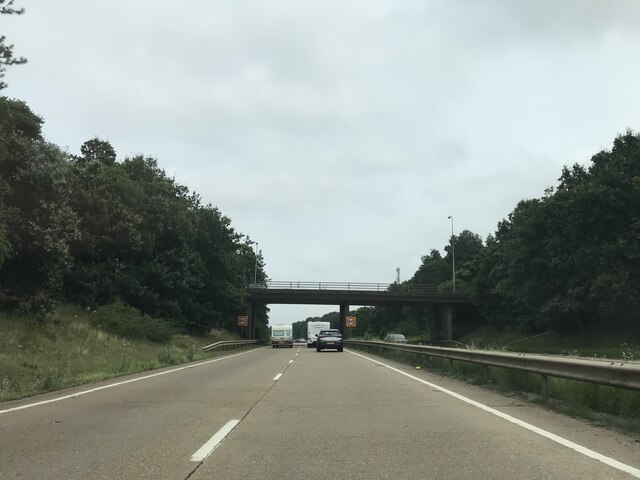
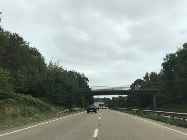
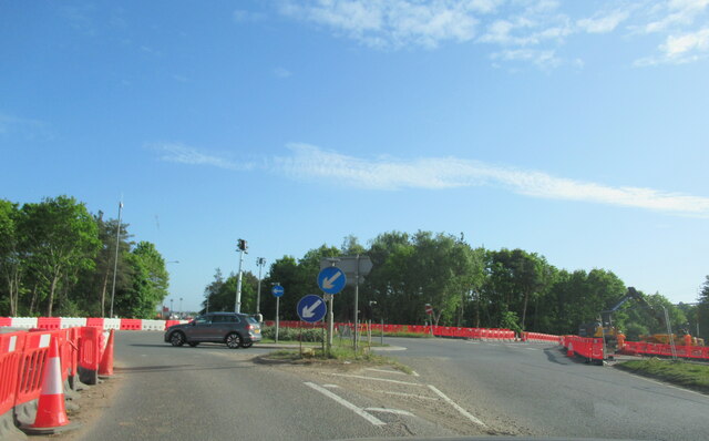
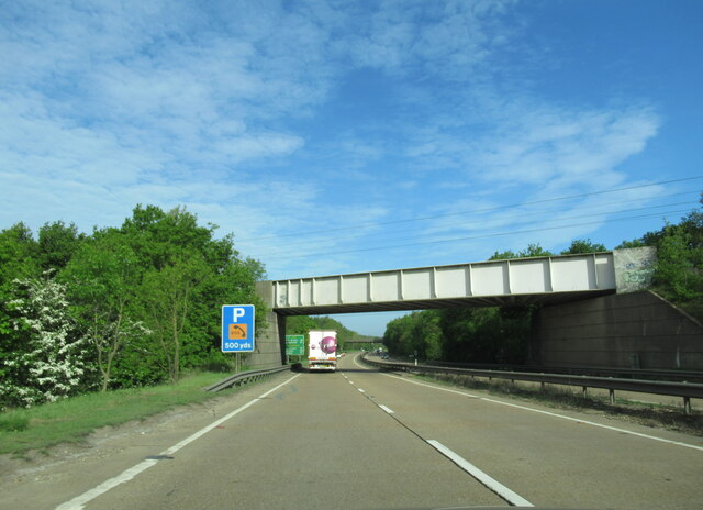
Sandpit Covert Images

Images are sourced within 2km of 52.027006/1.1367773 or Grid Reference TM1541. Thanks to Geograph Open Source API. All images are credited.

Road Junction Junction of minor road with A137 near to Wherstead Suffolk.
Road Junction
Junction of minor road with A137 near to Wherstead Suffolk.
Fields And Business Units Open fields trees and the building on the right is Alton Business Centre near to Wherstead Suffolk. For view of business centre see <a title="https://www.geograph.org.uk/photo/384176" href="https://www.geograph.org.uk/photo/384176">Link</a>
Fields And Business Units
Open fields trees and the building on the right is Alton Business Centre near to Wherstead Suffolk. For view of business centre see Link
Alton Business Centre Alton Business centre former farm buildings of Valley Farm near to Wherstead Suffolk.
Alton Business Centre
Alton Business centre former farm buildings of Valley Farm near to Wherstead Suffolk.
Distant View The white dot in the distance on the field is someone over a third of a mile away we had just crossed from the same point over the very dry and dusty unmarked footpath. Near to Whearstead Suffolk.
Distant View
The white dot in the distance on the field is someone over a third of a mile away we had just crossed from the same point over the very dry and dusty unmarked footpath. Near to Whearstead Suffolk.
Four Trees Four trees in a field near to Blacksmiths Corner Belstead Suffolk.
Four Trees
Four trees in a field near to Blacksmiths Corner Belstead Suffolk.
Easter Pigs Road signs for Jimmys Farm. At special events he operates a one way system entrance is off the A137 and visitors leave by a back road hence the directions to Ipswich and Colchester. See <span class="nowrap"><a title="http://www.essexpigcompany.com/" rel="nofollow ugc noopener" href="http://www.essexpigcompany.com/">Link</a><img style="margin-left:2px;" alt="External link" title="External link - shift click to open in new window" src="https://s1.geograph.org.uk/img/external.png" width="10" height="10"/></span> for his web site.
Easter Pigs
Road signs for Jimmys Farm. At special events he operates a one way system entrance is off the A137 and visitors leave by a back road hence the directions to Ipswich and Colchester. See LinkExternal link for his web site.
Alton Business Centre
Valley Lane
Valley Lane
The road to Belstead
Matrix board on A14
Matrix board on A14
A137 crossing A14
A137 crossing A14
Bridleway bridge
Bridleway bridge
A137 traffic island at junction for A14
Railway bridge over the A14 westbound near Ipswich
A14 westbound near Ipswich
A14 westbound approaching junction 55
A14 The A14 is a major road running 127 miles from Felixstowe to the Catthorpe Interchange, the junction of the M1 and M6 motorways near Rugby. The road connects East Anglia with the West Midlands and The North.
Wikipedia: <span class="nowrap"><a title="http://en.wikipedia.org/wiki/A14_road_(England)" rel="nofollow ugc noopener" href="http://en.wikipedia.org/wiki/A14_road_(England)">Link</a><img style="margin-left:2px;" alt="External link" title="External link - shift click to open in new window" src="https://s1.geograph.org.uk/img/external.png" width="10" height="10"/></span>
A14
The A14 is a major road running 127 miles from Felixstowe to the Catthorpe Interchange, the junction of the M1 and M6 motorways near Rugby. The road connects East Anglia with the West Midlands and The North. Wikipedia: LinkExternal link
Allotments
Allotments
Show me another place!

Sandpit Covert is located at Grid Ref: TM1541 (Lat: 52.027006, Lng: 1.1367773)

Administrative County: Suffolk

District: Babergh

Police Authority: Suffolk

What 3 Words

///lunching.caravan.lush. Near Ipswich, Suffolk

Related Wikis

Bobbitshole, Belstead

Bobbitshole is a 1.7-hectare (4.2-acre) geological Site of Special Scientific Interest in Belstead, on the southern outskirts of Ipswich in Suffolk. It...

Wherstead

Wherstead is a village and a civil parish located in the county of Suffolk, England. Wherstead village lies 3 miles (4.8 km) south of Ipswich on the Shotley...

Bourne Park Reed Beds

Bourne Park Reed Beds is a 7.4 hectare Local Nature Reserve on the southern outskirts of Ipswich in Suffolk, United Kingdom. It is owned and managed by...

Bobbits Lane

Bobbits Lane is a 16.1 hectares (40 acres) Local Nature Reserve in Ipswich in Suffolk. It is owned by Ipswich Borough Council and managed by the Greenways...

Wherstead Park

Wherstead Park Mansion in Suffolk is a house of historical significance and is listed on the English Heritage Register. It was built in 1792 for Sir Robert...

Stoke Park Wood

Stoke Park Wood is a 2.2 hectare Local Nature Reserve in Ipswich in Suffolk. It is owned and managed by Ipswich Borough Council.This ancient wood was formerly...

Spring Wood, Belstead

Spring Wood is a 5.5 hectare Local Nature Reserve east of Belstead, on the southern outskirts of Ipswich in Suffolk. It is owned and managed by Ipswich...

Millennium Wood, Ipswich

Millennium Wood is a 3.8 hectare Local Nature Reserve on the southern outskirts of Ipswich in Suffolk. It is owned by Suffolk County Council and managed...

Nearby Amenities

Located within 500m of 52.027006,1.1367773
Motorway Junction
Wherstead Interchange
Ref: 56
Lat/Long: 52.0249667/1.1331638
Power: tower
Lat/Long: 52.0290212/1.1309437
Power: tower
Lat/Long: 52.0287658/1.1308619
Power: tower
Lat/Long: 52.0287805/1.1395385
Power: tower
Lat/Long: 52.028496/1.1395358
Power: tower
Lat/Long: 52.0284687/1.1307744
Power: tower
Lat/Long: 52.0282412/1.1395348
Bus Stop
The Street
Local Ref: opp
Naptan AtcoCode: 390010537
Naptan Bearing: N
Naptan CommonName: The Street
Naptan Landmark: The Street
Naptan NaptanCode: sufagmwm
Naptan Street: A137
Naptan Verified: no
Public Transport: platform
Source: naptan_import
Lat/Long: 52.0226516/1.1381896
Bus Stop
A14 Junction
Local Ref: adj
Naptan AtcoCode: 390030176
Naptan Bearing: S
Naptan CommonName: A14 Link Road
Naptan Landmark: A14 Link Road
Naptan NaptanCode: sufamgwm
Naptan Street: Wherstead Road
Naptan Verified: no
Public Transport: platform
Source: naptan_import
Lat/Long: 52.0253481/1.1399925
Bus Stop
A14 Junction
Local Ref: opp
Naptan AtcoCode: 390030177
Naptan Bearing: NE
Naptan CommonName: A14 Link Road
Naptan Landmark: A14 Link Road
Naptan NaptanCode: sufamgwp
Naptan Street: Wherstead Road
Naptan Verified: no
Public Transport: platform
Source: naptan_import
Lat/Long: 52.0242769/1.1392227
Power: tower
Lat/Long: 52.0289007/1.1354602
Power: tower
Lat/Long: 52.0283498/1.135575
Power: tower
Lat/Long: 52.0286064/1.1355068
Power: pole
Lat/Long: 52.0286165/1.130822
Power: pole
Lat/Long: 52.0285331/1.1305377
Power: pole
Lat/Long: 52.0272459/1.130708
SnowSun Adrenaline Sports
Shop: sports
Lat/Long: 52.0269956/1.1425524
Suffolk Ski Centre
Leisure: yes
Lat/Long: 52.0271804/1.1422306
Restaurant
The Lodge
Lat/Long: 52.0271144/1.1423539
The data included in this document is from www.openstreetmap.org. The data is made available under ODbL.

Have you been to Sandpit Covert?

Leave your review of Sandpit Covert below (or comments, questions and feedback).