Bourne Hill
Hill, Mountain in Suffolk Babergh
England
Bourne Hill
Bourne Hill is a small hill located in Suffolk, England. Situated in the eastern part of the county, it forms part of the wider landscape of the Suffolk Hills, which are known for their gentle slopes and scenic beauty. While not particularly high, Bourne Hill still offers stunning views of the surrounding countryside and is a popular spot for locals and visitors alike.
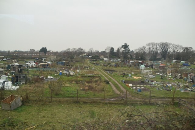
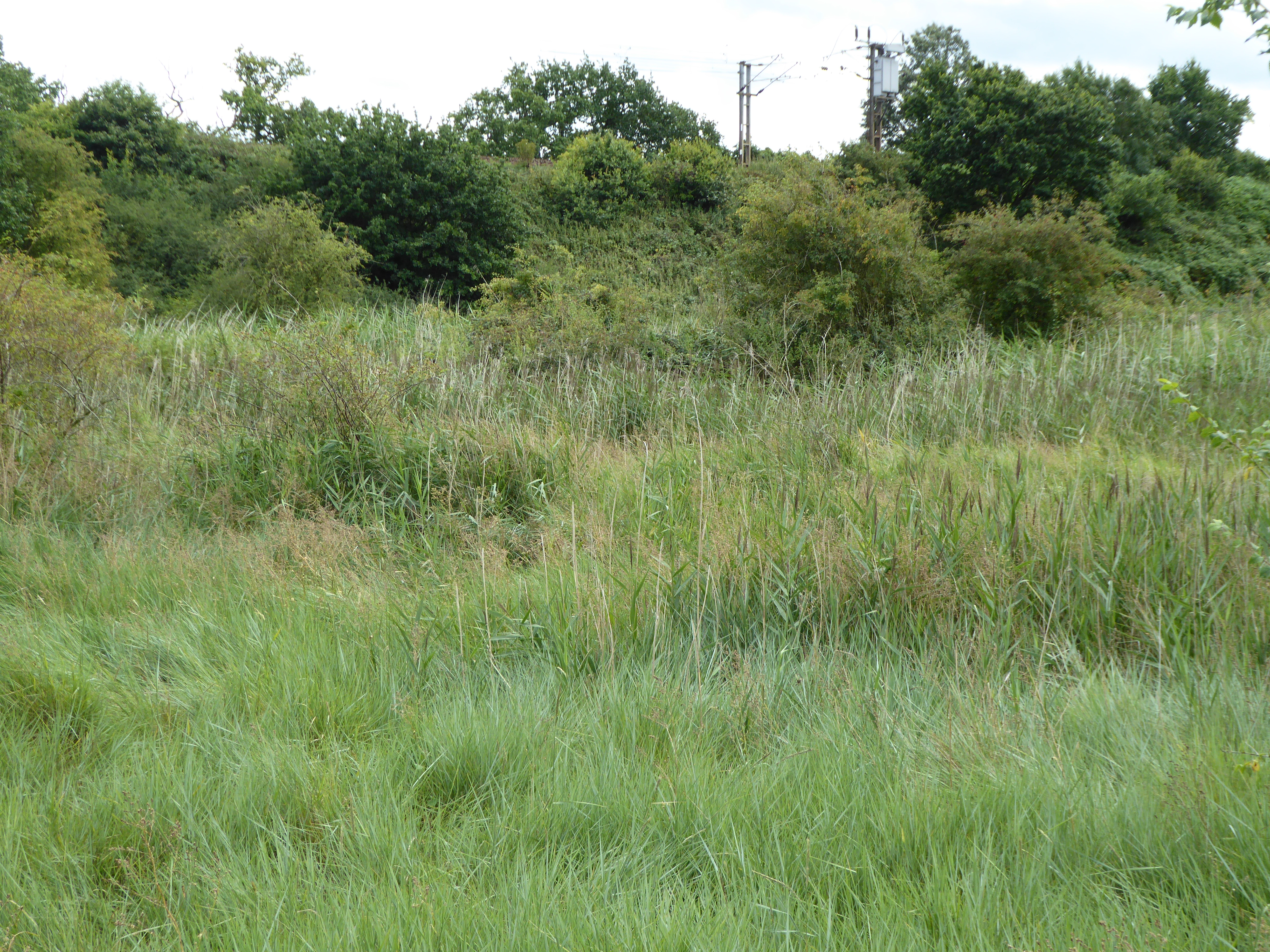
The hill is covered in lush green grass, dotted with wildflowers during the summer months. It is home to a variety of wildlife, including rabbits, squirrels, and a range of bird species. The area is protected and maintained by local conservation efforts to ensure the preservation of its natural beauty.
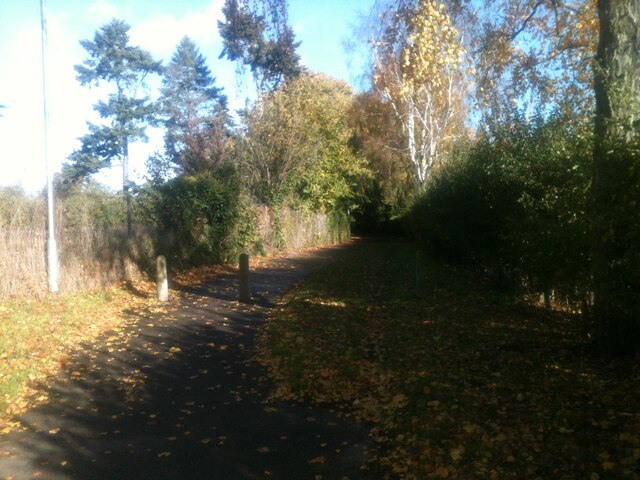
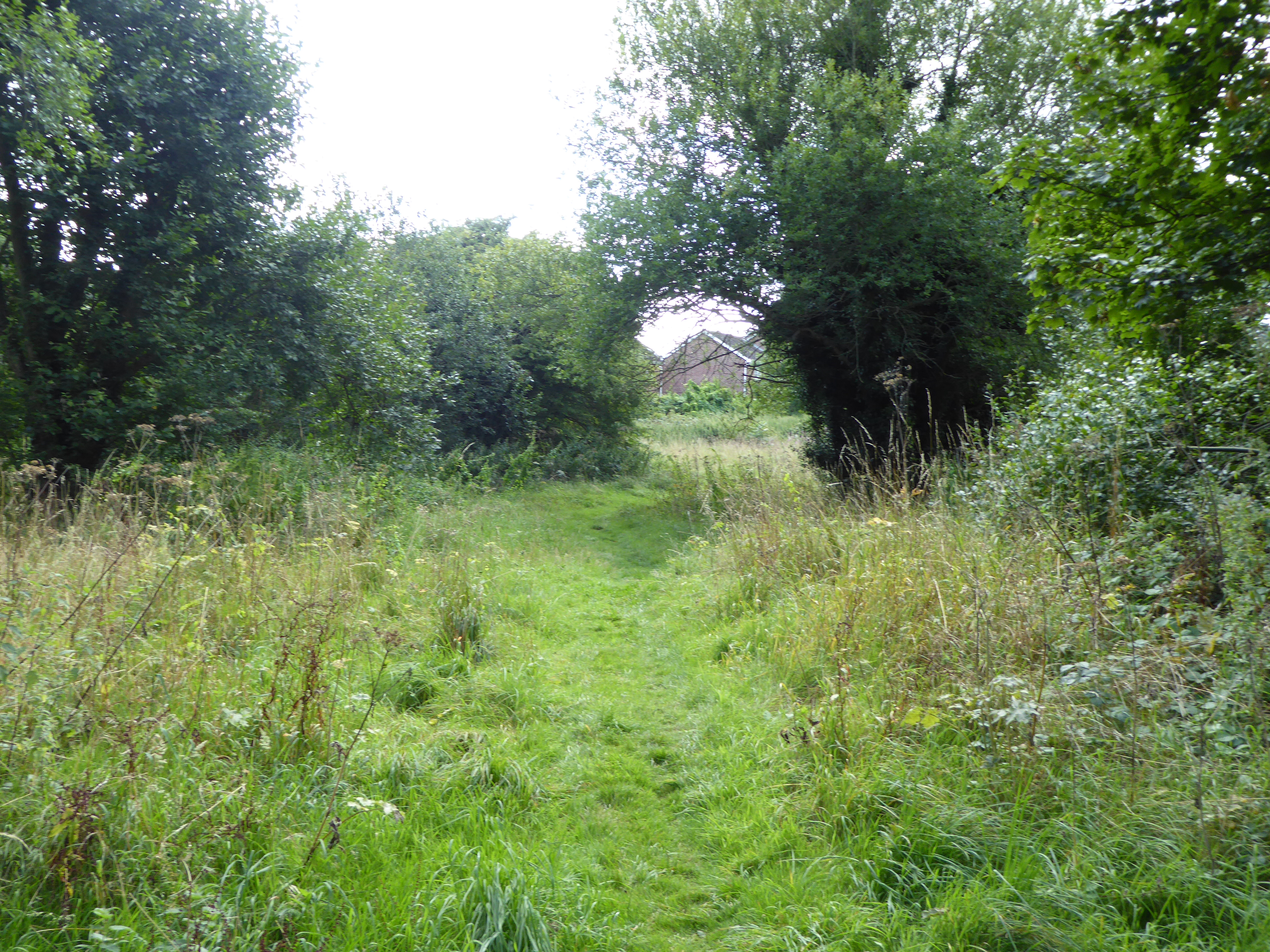
Bourne Hill is easily accessible by foot, with several footpaths leading to the summit. It is a favorite destination for walkers and hikers, who enjoy the peaceful atmosphere and panoramic vistas. The hill's gentle slopes make it an ideal spot for leisurely strolls or more challenging hikes for those seeking a bit of exercise.
At the top of Bourne Hill, visitors are rewarded with breathtaking views of the Suffolk countryside. On a clear day, the horizon stretches out, revealing a patchwork of fields, woodlands, and villages. It is a tranquil and serene location, perfect for contemplation or simply enjoying the beauty of nature.
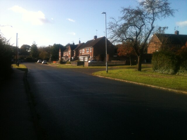
Surrounding Bourne Hill are several small villages, where visitors can find quaint pubs, cafes, and bed and breakfast accommodations. These provide a convenient base for exploring the area and experiencing the local culture.
Overall, Bourne Hill is a picturesque and serene hill in Suffolk, offering stunning views, abundant wildlife, and a peaceful escape from the bustle of everyday life.
If you have any feedback on the listing, please let us know in the comments section below.
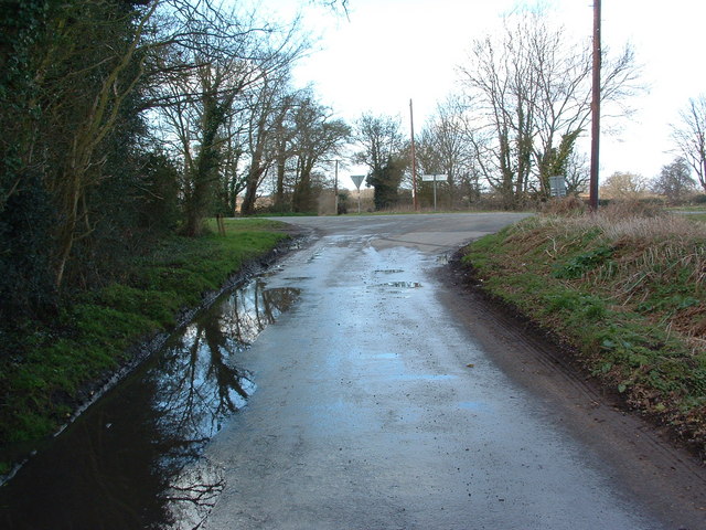
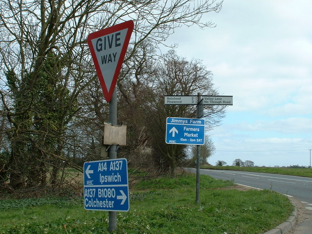
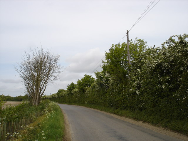
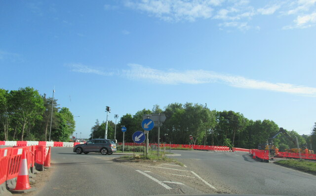
Bourne Hill Images
Images are sourced within 2km of 52.027638/1.142085 or Grid Reference TM1541. Thanks to Geograph Open Source API. All images are credited.


Bourne Hill is located at Grid Ref: TM1541 (Lat: 52.027638, Lng: 1.142085)
Administrative County: Suffolk
District: Babergh
Police Authority: Suffolk
What 3 Words
///making.proclaims.endings. Near Ipswich, Suffolk
Nearby Locations
Related Wikis
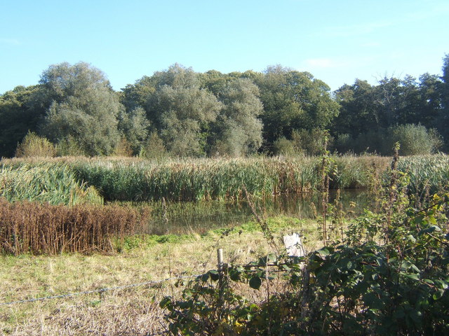
Bourne Park Reed Beds
Bourne Park Reed Beds is a 7.4 hectare Local Nature Reserve on the southern outskirts of Ipswich in Suffolk, United Kingdom. It is owned and managed by...
Wherstead
Wherstead is a village and a civil parish located in the county of Suffolk, England. Wherstead village lies 3 miles (4.8 km) south of Ipswich on the Shotley...
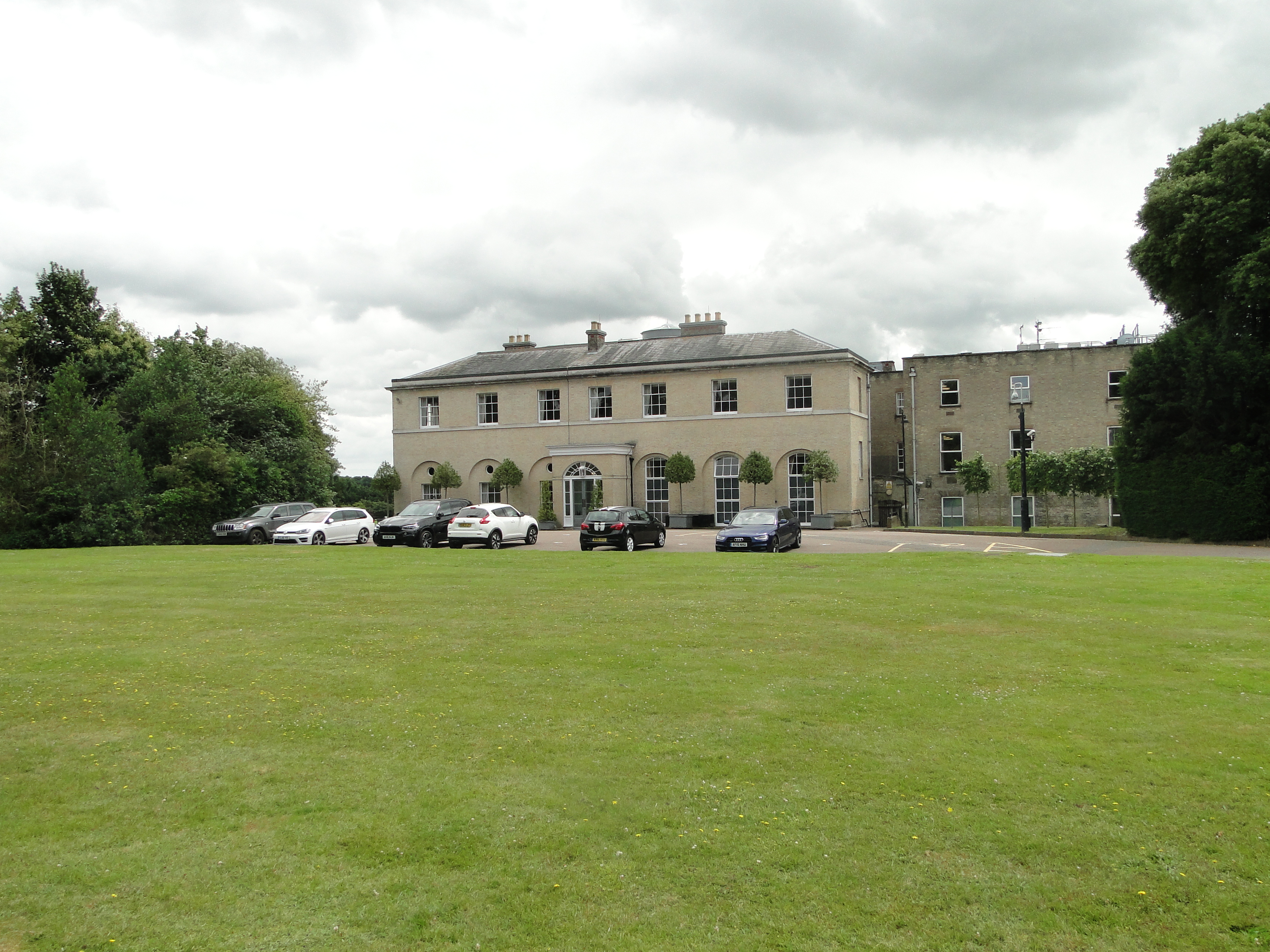
Wherstead Park
Wherstead Park Mansion in Suffolk is a house of historical significance and is listed on the English Heritage Register. It was built in 1792 for Sir Robert...

Bobbitshole, Belstead
Bobbitshole is a 1.7-hectare (4.2-acre) geological Site of Special Scientific Interest in Belstead, on the southern outskirts of Ipswich in Suffolk. It...

Bourne Bridge, Suffolk
Bourne Bridge is an historic bridge in Suffolk, England. It provided the boundary mark between Ipswich and Wherstead. The date at which a bridge replaced...
Stoke Park Wood
Stoke Park Wood is a 2.2 hectare Local Nature Reserve in Ipswich in Suffolk. It is owned and managed by Ipswich Borough Council.This ancient wood was formerly...
Bobbits Lane
Bobbits Lane is a 16.1 hectares (40 acres) Local Nature Reserve in Ipswich in Suffolk. It is owned by Ipswich Borough Council and managed by the Greenways...
Stoke Park, Suffolk
Stoke Park was a country estate located at the southern edge of the Stoke ridge. The estate was owned by the Barons Gwydyr, and sold in the 1920s to pay...
Nearby Amenities
Located within 500m of 52.027638,1.142085Have you been to Bourne Hill?
Leave your review of Bourne Hill below (or comments, questions and feedback).