Knowel Hill
Hill, Mountain in Kent Canterbury
England
Knowel Hill
Knowle Hill is a small village located in the county of Kent, England. Situated on the southeastern edge of the North Downs, it is renowned for its picturesque landscape and stunning views. Despite its name, Knowle Hill is not a hill or a mountain but rather a name given to the village itself.
The village is surrounded by lush green fields and rolling hills, creating a serene and peaceful atmosphere. It has a small population, with a close-knit community that adds to its charm. The architecture in Knowle Hill is predominantly traditional, with a mixture of historic cottages and modern houses.
One of the highlights of Knowle Hill is its proximity to the Kent Downs Area of Outstanding Natural Beauty (AONB). This designation recognizes the exceptional landscape and biodiversity of the area. The village offers various walking and hiking trails, allowing visitors to explore the stunning countryside and enjoy the breathtaking views.
Knowle Hill is also conveniently located near several historic sites and attractions. Just a short drive away is the medieval city of Canterbury, famous for its historic cathedral and cobbled streets. Additionally, the charming town of Faversham, known for its rich maritime history, is within easy reach.
Overall, Knowle Hill in Kent is a picturesque village that offers a tranquil escape from the hustle and bustle of city life. Its beautiful surroundings, friendly community, and close proximity to natural and historical attractions make it an ideal destination for nature lovers and history enthusiasts alike.
If you have any feedback on the listing, please let us know in the comments section below.
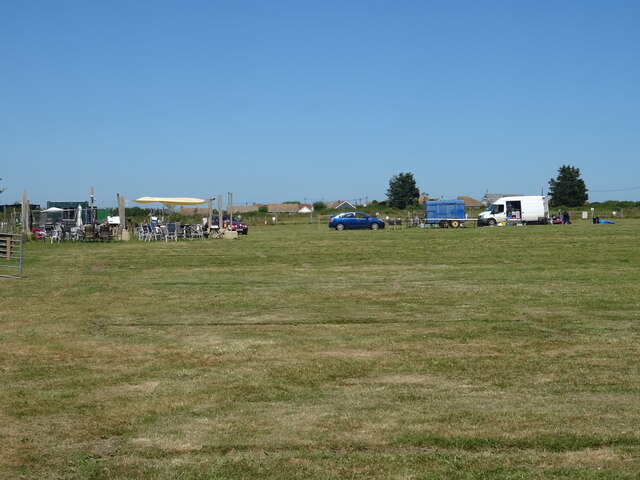
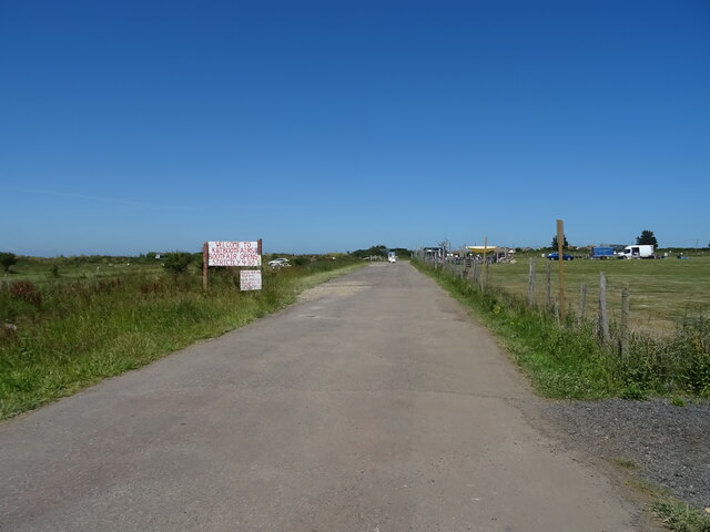
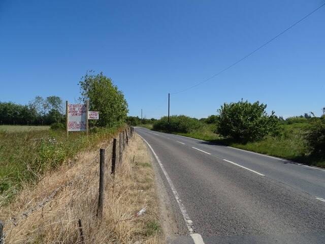
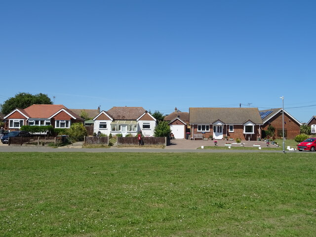
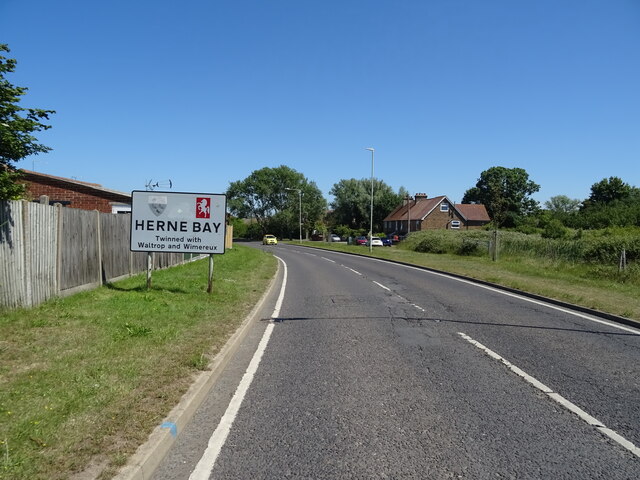
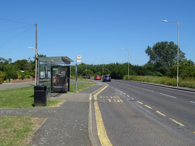
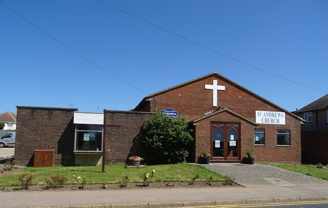
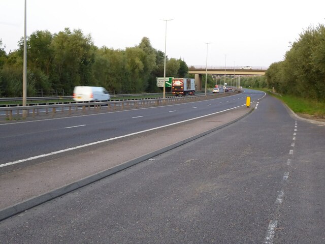
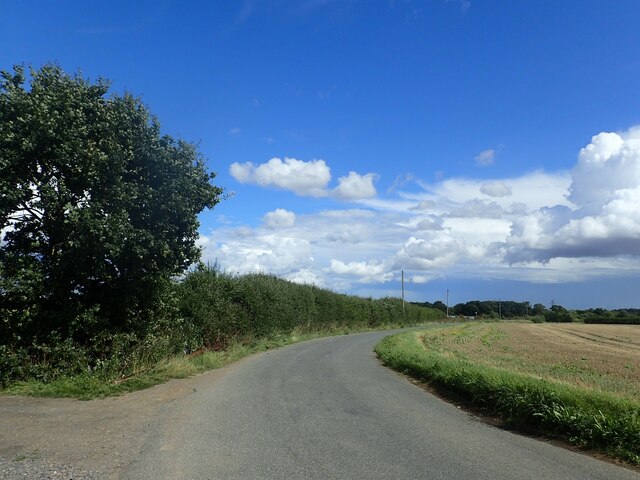
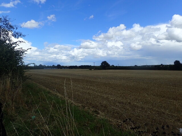
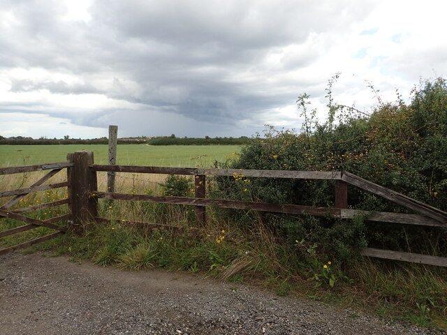
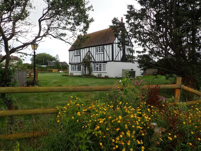
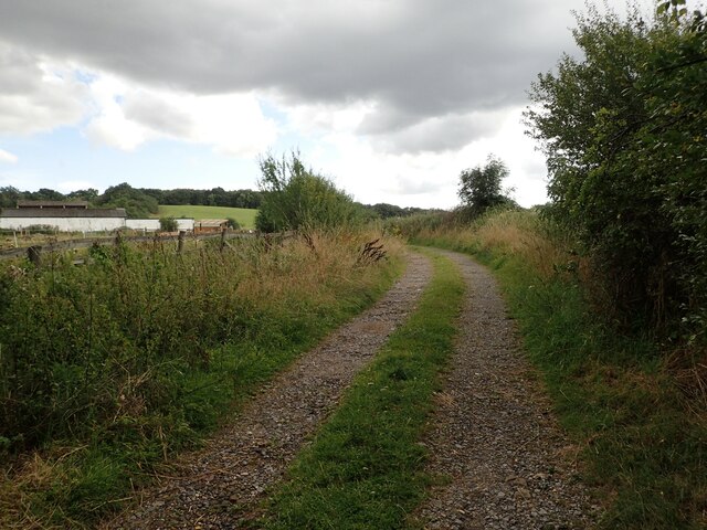
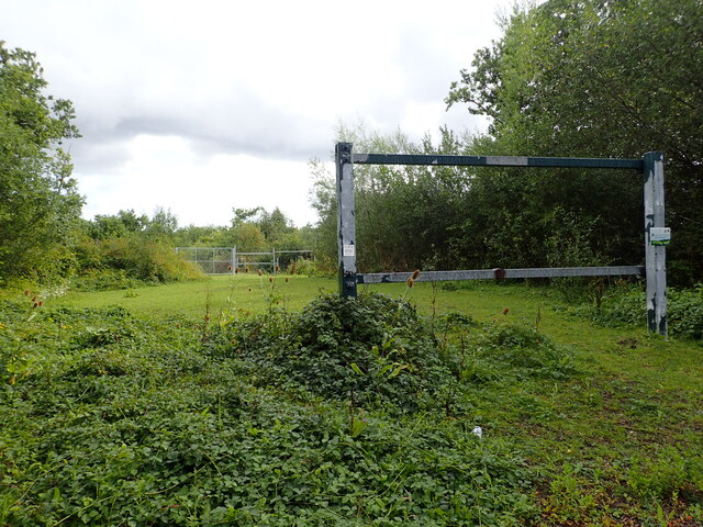
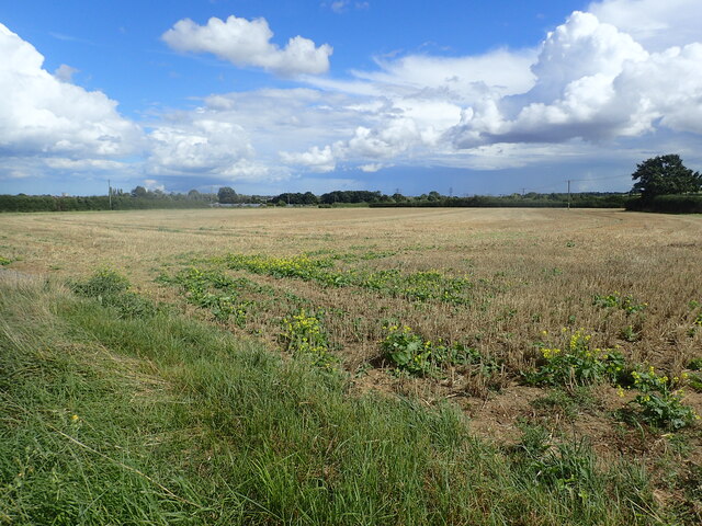
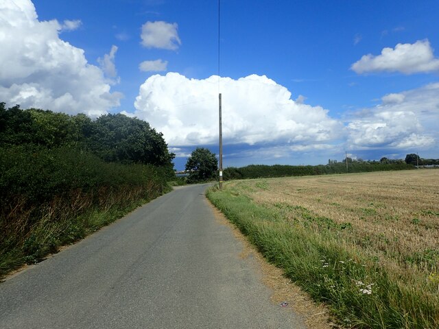
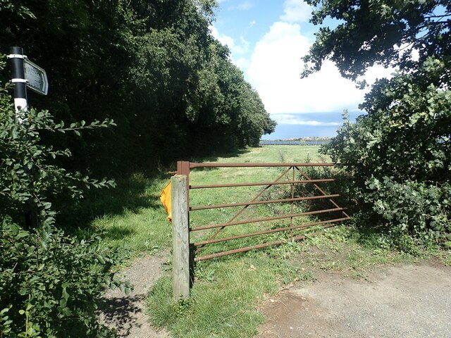
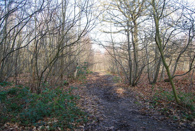
Knowel Hill Images
Images are sourced within 2km of 51.348324/1.0958804 or Grid Reference TR1565. Thanks to Geograph Open Source API. All images are credited.

Knowel Hill is located at Grid Ref: TR1565 (Lat: 51.348324, Lng: 1.0958804)
Administrative County: Kent
District: Canterbury
Police Authority: Kent
What 3 Words
///penny.cheer.groups. Near Herne Bay, Kent
Nearby Locations
Related Wikis

Greenhill, Kent
Greenhill is an outlying suburb of the coastal town of Herne Bay, in Kent in southeast England. The erstwhile Thanet Way, now renumbered as the A2990 road...

Herne Bay High School
Herne Bay High School is a mixed ability Academy, with designated Sports College status, situated in Herne Bay, Kent, England. There are 1506 students...

Curtis Wood
Curtis Wood is a 5.3-hectare (13-acre) Local Nature Reserve in Herne in Kent. It is owned and managed by Canterbury City Council.This wood has diverse...
West Blean and Thornden Woods
West Blean and Thornden Woods is a 781-hectare (1,930-acre) biological Site of Special Scientific Interest north of Canterbury in Kent. It is part of the...

Chestfield
Chestfield is a village (and civil parish and with Swalecliffe a district council ward) in the Canterbury District of Kent, England. The parish is centred...
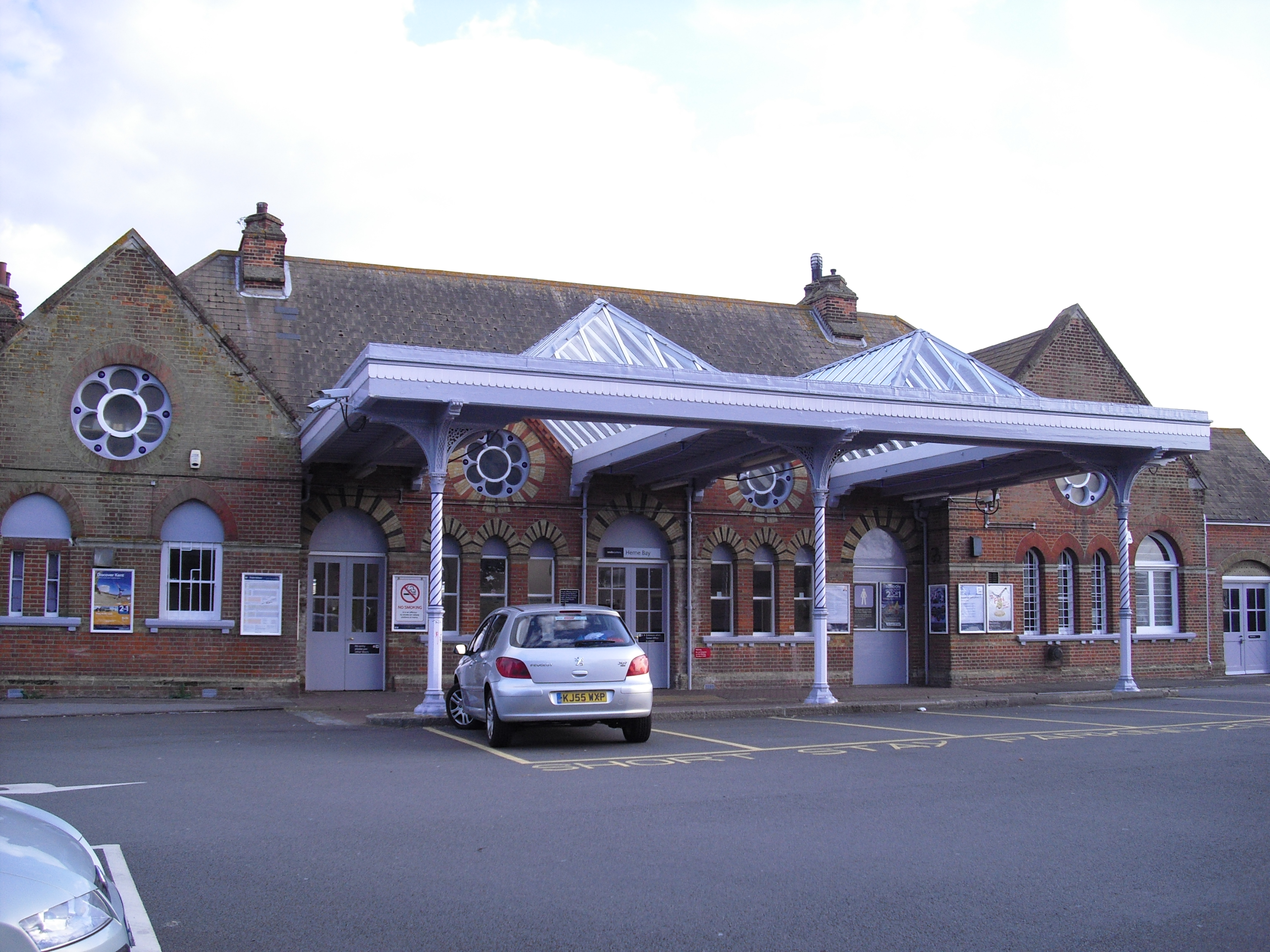
Herne Bay railway station
Herne Bay railway station is on the Chatham Main Line in England, serving the town of Herne Bay, Kent. It is 62 miles 58 chains (100.9 km) down the line...

Chestfield & Swalecliffe railway station
Chestfield and Swalecliffe railway station is on the Ramsgate branch of the Chatham Main Line in England, serving the villages of Chestfield, Swalecliffe...

Swalecliffe
Swalecliffe is a part of the ribbon development of the north Kent coast between Whitstable and Herne Bay in Southeast England. It forms Swalecliffe ward...
Nearby Amenities
Located within 500m of 51.348324,1.0958804Have you been to Knowel Hill?
Leave your review of Knowel Hill below (or comments, questions and feedback).