The Wilderness
Wood, Forest in Kent Canterbury
England
The Wilderness
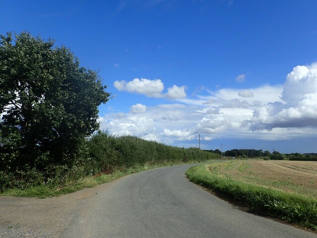
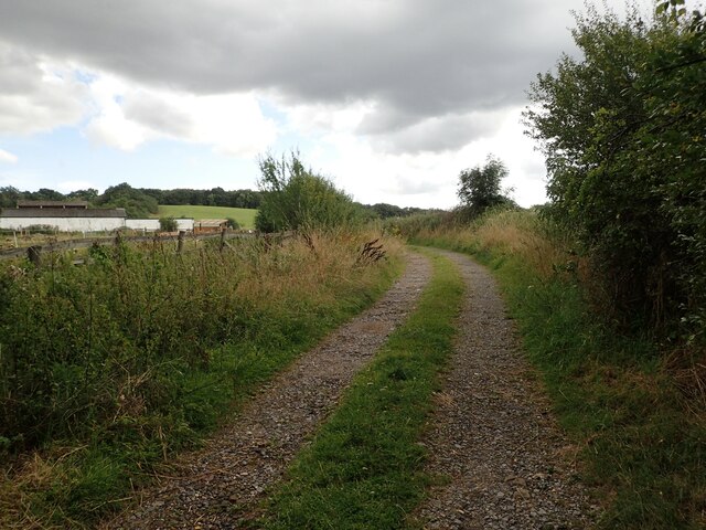
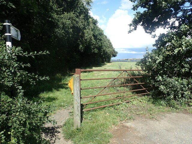
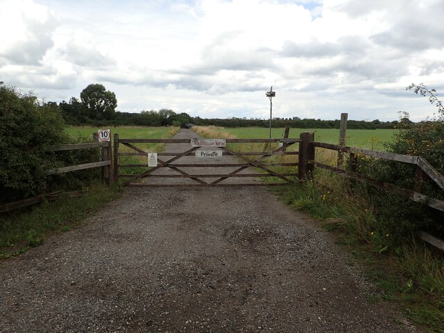
The Wilderness is a picturesque and sprawling wood located in Kent, England. Covering an area of approximately 100 acres, it is a popular destination for nature enthusiasts, hikers, and those seeking tranquility in a beautiful natural setting. The forest is situated near the village of Plaxtol, about 30 miles southeast of London.
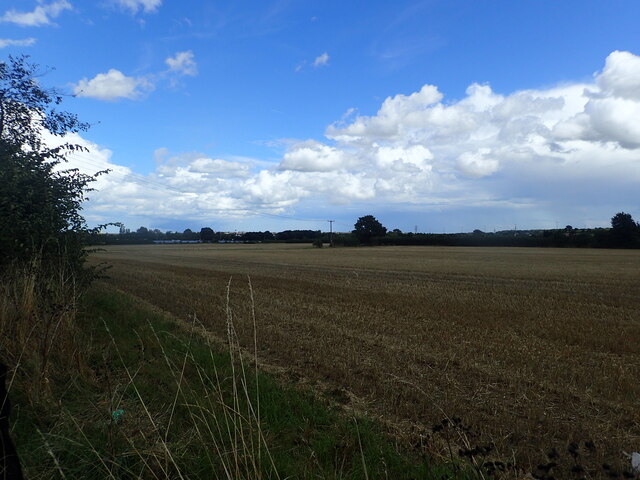
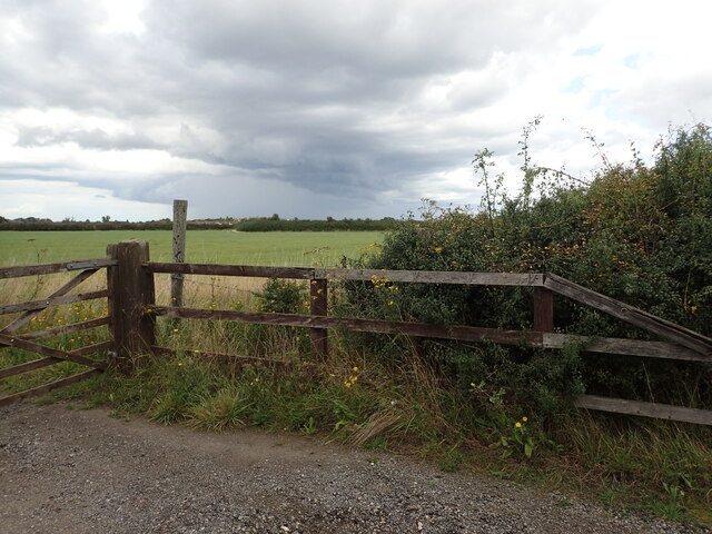
The Wilderness is characterized by its dense woodland, consisting predominantly of ancient oak and beech trees, interspersed with smaller shrubs and undergrowth. The forest floor is adorned with a vibrant carpet of wildflowers, adding to the enchanting ambiance of the area. The diverse range of flora and fauna found here make it a haven for wildlife, including deer, foxes, badgers, and a variety of bird species.
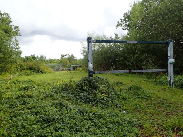
Traversing through The Wilderness, visitors can follow a network of well-maintained footpaths that wind their way through the forest, offering breathtaking views and opportunities for exploration. The verdant surroundings provide a serene environment for walking, jogging, and picnicking, attracting visitors of all ages.
The Wilderness is not only renowned for its natural beauty but also for its historical significance. It is believed to have ancient origins, with evidence of human activity dating back to the Bronze Age. The forest has played a role in local folklore and has been a source of inspiration for artists and writers throughout the years.
With its idyllic setting and rich biodiversity, The Wilderness offers a peaceful retreat from the hustle and bustle of everyday life, allowing visitors to immerse themselves in the beauty of nature and reconnect with the serenity of Kent's woodlands.
If you have any feedback on the listing, please let us know in the comments section below.
The Wilderness Images
Images are sourced within 2km of 51.347983/1.0866794 or Grid Reference TR1565. Thanks to Geograph Open Source API. All images are credited.
The Wilderness is located at Grid Ref: TR1565 (Lat: 51.347983, Lng: 1.0866794)
Administrative County: Kent
District: Canterbury
Police Authority: Kent
What 3 Words
///splice.bricks.chat. Near Tankerton, Kent
Nearby Locations
Related Wikis

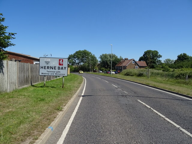
Greenhill, Kent
Greenhill is an outlying suburb of the coastal town of Herne Bay, in Kent in southeast England. The erstwhile Thanet Way, now renumbered as the A2990 road...

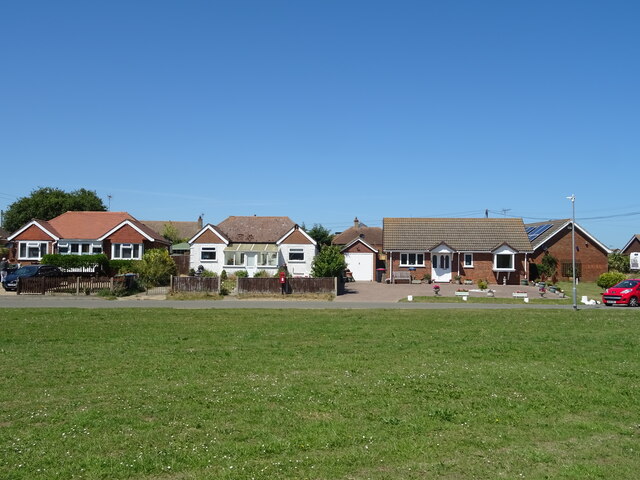
Chestfield
Chestfield is a village (and civil parish and with Swalecliffe a district council ward) in the Canterbury District of Kent, England. The parish is centred...

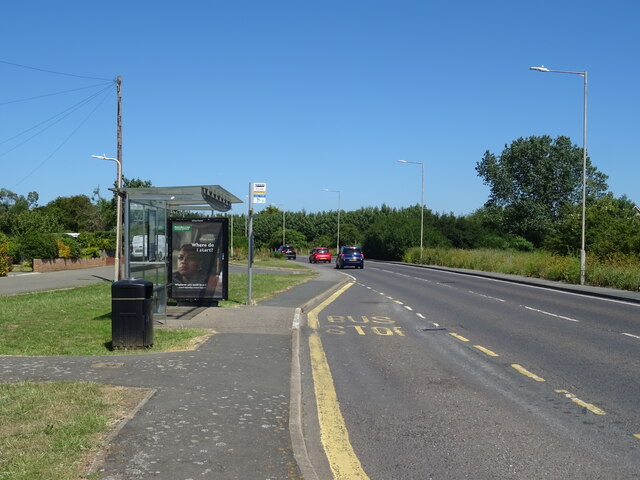
Radfall
Radfall is a hamlet between Whitstable and Canterbury, in southeast England. It lies between the Thanet Way and Thornden Wood, in the Canterbury district...

Chestfield & Swalecliffe railway station
Chestfield and Swalecliffe railway station is on the Ramsgate branch of the Chatham Main Line in England, serving the villages of Chestfield, Swalecliffe...
Nearby Amenities
Located within 500m of 51.347983,1.0866794Have you been to The Wilderness?
Leave your review of The Wilderness below (or comments, questions and feedback).