End, West

Settlement in Kent Canterbury

England

End, West

Car boot field off Whitstable Road
Car boot field off Whitstable Road Credit: JThomas

End, West, Kent is a small village located in the county of Kent, England. Situated on the western edge of the county, it is surrounded by picturesque countryside and benefits from a tranquil and rural setting. With a population of around 500 residents, it is known for its close-knit community and friendly atmosphere.

The village itself is characterized by its traditional English charm, with a collection of well-preserved historic buildings and thatched cottages lining its streets. The local church, St. Mary's, is a prominent feature and dates back to the 12th century, offering visitors a glimpse into the area's rich history.

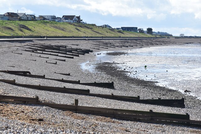
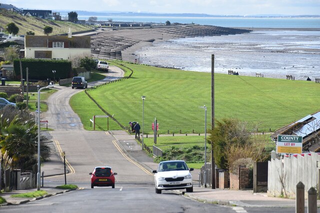
End, West, Kent is a popular destination for nature enthusiasts and outdoor lovers. The village is surrounded by rolling hills, lush green meadows, and scenic walking trails, making it an ideal location for hiking, cycling, and exploring the great outdoors. The nearby countryside offers breathtaking views and opportunities for wildlife spotting.

Despite its small size, the village boasts a few amenities for residents and visitors. There is a local pub, The End Inn, which serves traditional British cuisine and provides a cozy atmosphere for socializing. Additionally, there is a primary school and a village hall that hosts various community events throughout the year.

End, West, Kent offers a peaceful and idyllic lifestyle, away from the hustle and bustle of city living. Its rural setting, historic charm, and natural beauty make it an attractive destination for those seeking a slower pace of life and a strong sense of community.

If you have any feedback on the listing, please let us know in the comments section below.
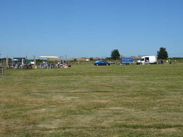
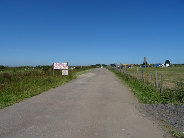
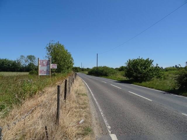
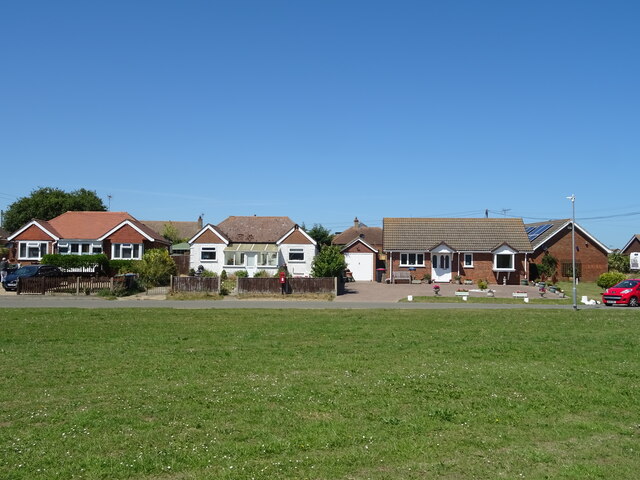
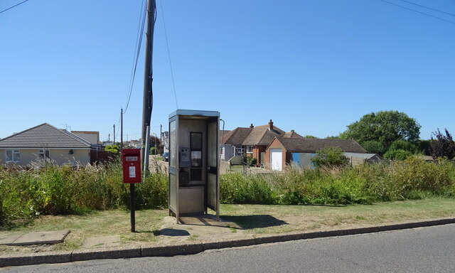
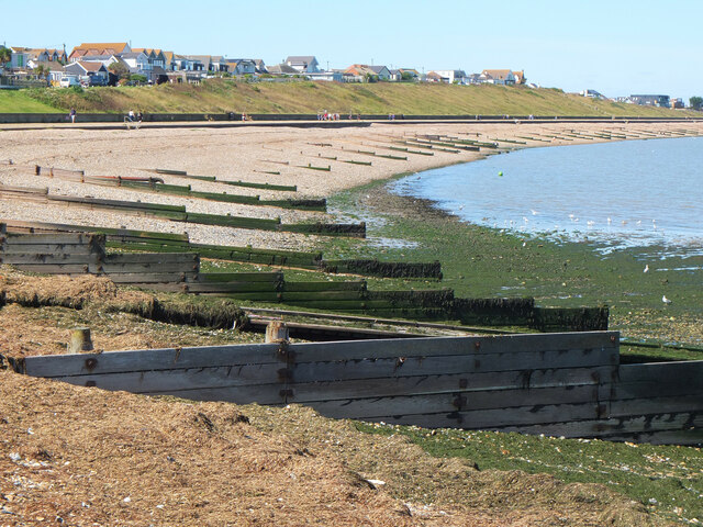
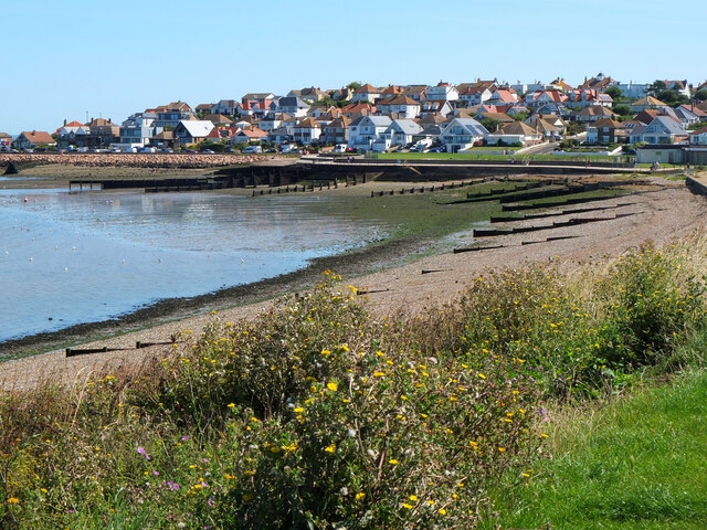
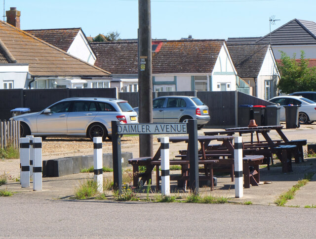
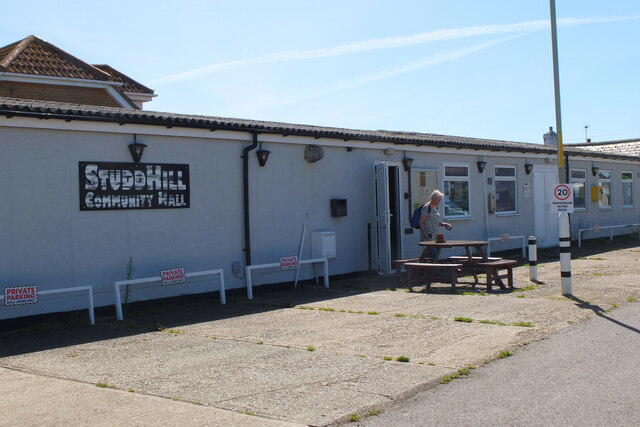
End, West Images

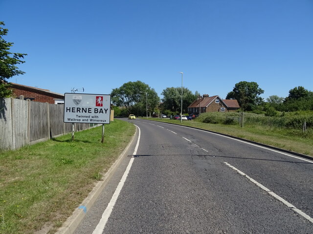
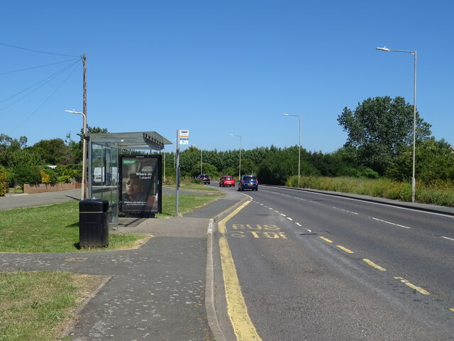
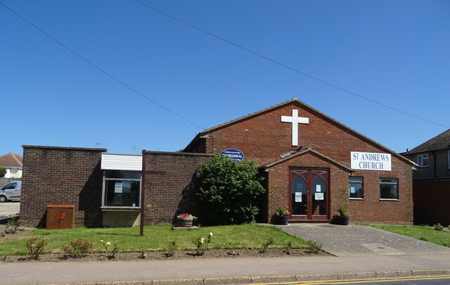
Images are sourced within 2km of 51.351453/1.0935347 or Grid Reference TR1565. Thanks to Geograph Open Source API. All images are credited.

Car boot field off Whitstable Road
Road to car boot sale Off Whitstable Road.
Road to car boot sale
Off Whitstable Road.
Whitstable Road (B2205) Towards Herne Bay.
Whitstable Road (B2205)
Towards Herne Bay.
Houses on Whitstable Road
Herne Bay sign On Whitstable Road (B2205).
Herne Bay sign
On Whitstable Road (B2205).
Bus stop and shelter on Whitstable Road (B2205)
St Andrews Church, Herne Bay
Elizabeth II postbox on Hampton Pier Avenue, Herne Bay Postbox No. CT6 321.
See <a href="https://www.geograph.org.uk/photo/7224156">TR1567 : Elizabeth II postbox and telephone box on Hampton Pier Avenue, Herne Bay</a> for context.
Elizabeth II postbox on Hampton Pier Avenue, Herne Bay
Elizabeth II postbox and telephone box on Hampton Pier Avenue, Herne Bay Showing position of Postbox No. CT6 321.
Elizabeth II postbox and telephone box on Hampton Pier Avenue, Herne Bay
Showing position of Postbox No. CT6 321.
The A299, Thanet Way The A299, Thanet Way viewed from a layby near Greenhill.
The A299, Thanet Way
The A299, Thanet Way viewed from a layby near Greenhill.
Shoreline below Studd Hill
Hampton Coastal Park from West Cliff Drive
Beach with groynes, Studd Hill Little egrets were among the birds feeding on the shore here.
Beach with groynes, Studd Hill
Little egrets were among the birds feeding on the shore here.
Shore below Studd Hill Housing and the shore area west of Herne Bay.
Shore below Studd Hill
Housing and the shore area west of Herne Bay.
Daimler Avenue, Studd Hill The streets in the residential area of Studd Hill are named after motor manufacturers; in fact 28 such street names are shown on the local street map displayed outside the community hall.
Daimler Avenue, Studd Hill
The streets in the residential area of Studd Hill are named after motor manufacturers; in fact 28 such street names are shown on the local street map displayed outside the community hall.
Studd Hill Community Hall In the residential area west of Herne Bay, notable for the variety of house styles and the street names with motoring connections.
Studd Hill Community Hall
In the residential area west of Herne Bay, notable for the variety of house styles and the street names with motoring connections.
Motoring street names, Studd Hill Twenty eight streets in this residential area have names related to motor cars. This map was on the wall of the community hall.
Motoring street names, Studd Hill
Twenty eight streets in this residential area have names related to motor cars. This map was on the wall of the community hall.
Hillman Avenue, Studd Hill Another example of a 'motoring street' in this residential area. See also <a href="https://www.geograph.org.uk/photo/7567677">TR1567 : Motoring street names, Studd Hill</a>.
Hillman Avenue, Studd Hill
Another example of a 'motoring street' in this residential area. See also TR1567 : Motoring street names, Studd Hill.
Show me another place!

End, West is located at Grid Ref: TR1565 (Lat: 51.351453, Lng: 1.0935347)

Administrative County: Kent

District: Canterbury

Police Authority: Kent

What 3 Words

///behave.could.under. Near Herne Bay, Kent

Related Wikis

Greenhill, Kent

Greenhill is an outlying suburb of the coastal town of Herne Bay, in Kent in southeast England. The erstwhile Thanet Way, now renumbered as the A2990 road...

Herne Bay High School

Herne Bay High School is a mixed ability Academy, with designated Sports College status, situated in Herne Bay, Kent, England. There are 1506 students...

Swalecliffe

Swalecliffe is a part of the ribbon development of the north Kent coast between Whitstable and Herne Bay in Southeast England. It forms Swalecliffe ward...

Chestfield

Chestfield is a village (and civil parish and with Swalecliffe a district council ward) in the Canterbury District of Kent, England. The parish is centred...

Nearby Amenities

Located within 500m of 51.351453,1.0935347
Barrier: yes
Lat/Long: 51.3521134/1.0947153
Share & Coulter
Addr City: Herne Bay
Addr Country: GB
Addr County: Kent
Addr Postcode: CT6 7DZ
Addr Street: Owls Hatch Road
Disused Amenity: pub
Source Addr: FHRS Open Data
Lat/Long: 51.3528777/1.0949705
Power: tower
Lat/Long: 51.352453/1.0978749
Parking
Parking: lane
Lat/Long: 51.3533421/1.0994809
Power: transformer
Voltage Primary: 132000
Voltage Secondary: 33000
Lat/Long: 51.353629/1.0953168
Power: transformer
Voltage Primary: 132000
Voltage Secondary: 33000
Lat/Long: 51.3537876/1.0955005
Power: transformer
Lat/Long: 51.3541142/1.0951547
Power: transformer
Lat/Long: 51.3541539/1.0954774
Power: transformer
Lat/Long: 51.3540537/1.0955155
Power: tower
Lat/Long: 51.3533626/1.0958382
Power: pole
Lat/Long: 51.3471508/1.0949729
Power: pole
Lat/Long: 51.3479943/1.0950601
Power: pole
Lat/Long: 51.3488512/1.0951902
Power: pole
Lat/Long: 51.3495757/1.0952666
Power: pole
Lat/Long: 51.3502031/1.0953377
Power: pole
Lat/Long: 51.3511789/1.0954557
Power: pole
Lat/Long: 51.3520432/1.0955617
The data included in this document is from www.openstreetmap.org. The data is made available under ODbL.

Have you been to End, West?

Leave your review of End, West below (or comments, questions and feedback).