Morley Hill
Hill, Mountain in Norfolk North Norfolk
England
Morley Hill
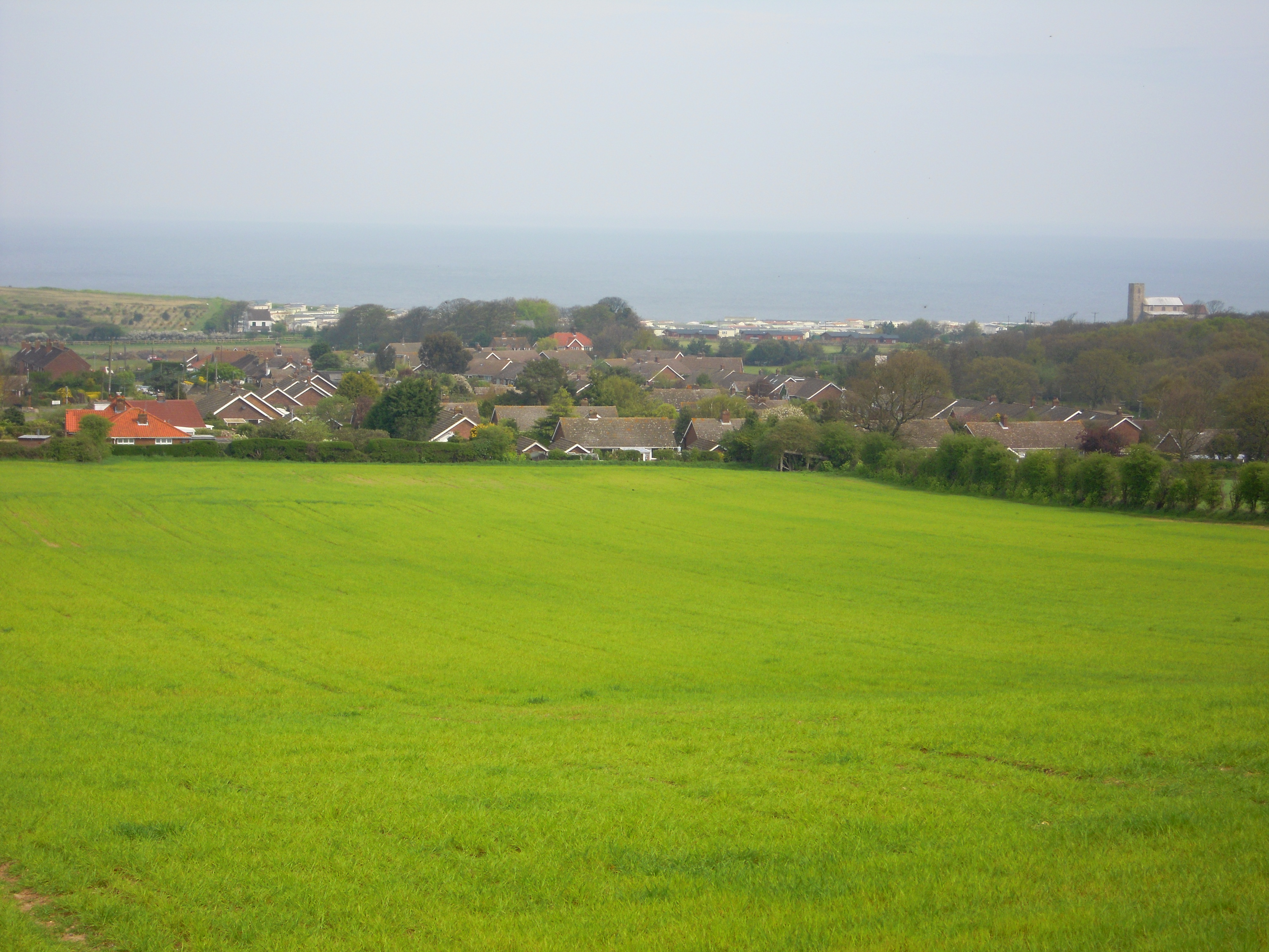
Morley Hill is a small hill located in the county of Norfolk, England. Situated near the village of Morley St Botolph, it is part of the scenic Norfolk countryside and offers panoramic views of the surrounding area.
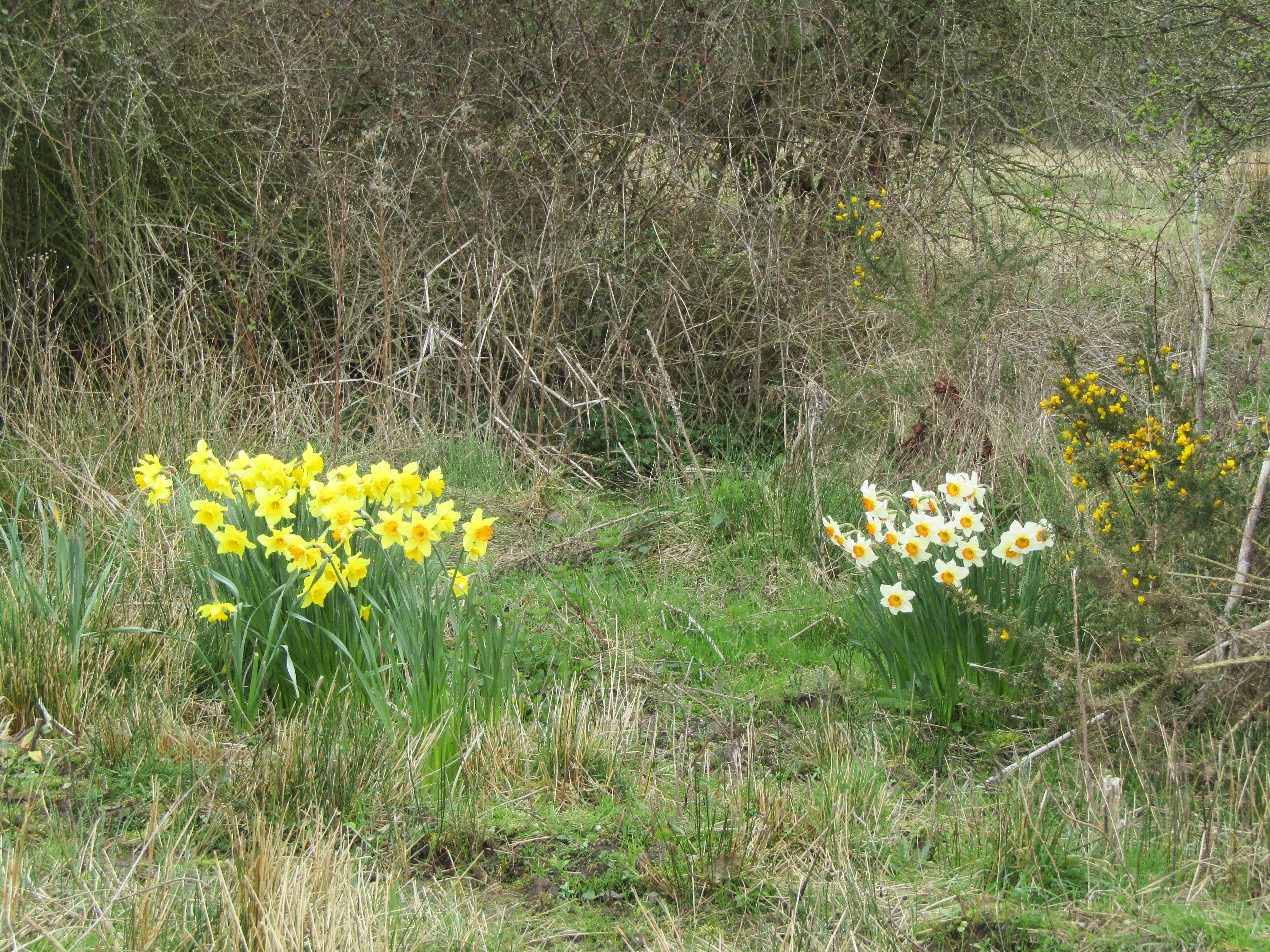
Although not particularly high, Morley Hill stands at an elevation of approximately 60 meters (197 feet) above sea level, making it a prominent feature in the otherwise flat landscape of Norfolk. The hill is covered in lush green grass and is dotted with scattered trees, providing a serene and picturesque setting.
Morley Hill is a popular destination for outdoor enthusiasts, offering opportunities for hiking and walking. There are several footpaths that lead up the hill, allowing visitors to explore its gentle slopes and enjoy the breathtaking views from the summit. The hill's location also makes it an ideal spot for picnics or simply relaxing in nature.
In addition to its natural beauty, Morley Hill is also home to a variety of wildlife, including rabbits, birds, and insects. The hill's diverse ecosystem attracts nature lovers and birdwatchers, who come to observe and appreciate the local flora and fauna.
Overall, Morley Hill is a charming and tranquil destination in Norfolk, offering a peaceful retreat for those seeking a break from the hustle and bustle of everyday life. Its natural beauty, breathtaking views, and abundant wildlife make it a must-visit location for both locals and tourists alike.
If you have any feedback on the listing, please let us know in the comments section below.
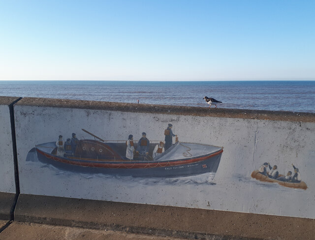
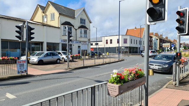
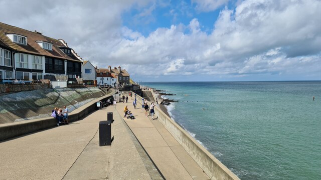
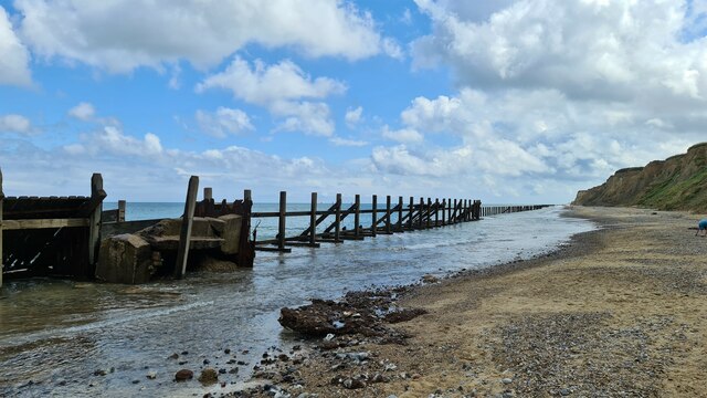
Morley Hill Images
Images are sourced within 2km of 52.933773/1.2099617 or Grid Reference TG1542. Thanks to Geograph Open Source API. All images are credited.


Morley Hill is located at Grid Ref: TG1542 (Lat: 52.933773, Lng: 1.2099617)
Administrative County: Norfolk
District: North Norfolk
Police Authority: Norfolk
What 3 Words
///sapping.quickly.beep. Near Sheringham, Norfolk
Nearby Locations
Related Wikis

A1082 road
The A1082 is an English A road entirely in the county of Norfolk. It runs from a junction with the A148 King's Lynn to Cromer Road to a roundabout on the...
Sheringham and Beeston Regis Commons
Sheringham and Beeston Regis Commons is a 24.9-hectare (62-acre) biological Site of Special Scientific Interest in Sheringham in Norfolk. It is a Nature...
Beeston Regis
Beeston Regis is a village and civil parish in the North Norfolk district of Norfolk, England. It is about a mile (2 km) east of Sheringham, Norfolk and...

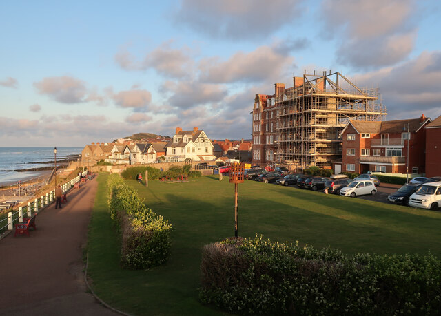
Sheringham
Sheringham (; population 7,367) is a seaside town and civil parish in the county of Norfolk, England. The motto of the town, granted in 1953 to the Sheringham...

Masonic Hall, Sheringham
The Masonic Hall, Sheringham was built in 1914 to house the Electric Picture Palace. == Location == The hall is located on the landward side of the coast...

Sheringham Woodfields School
Sheringham Woodfields School is a co-educational special school located in Sheringham in the English county of Norfolk.It is a Learning and Cognition Specialist...
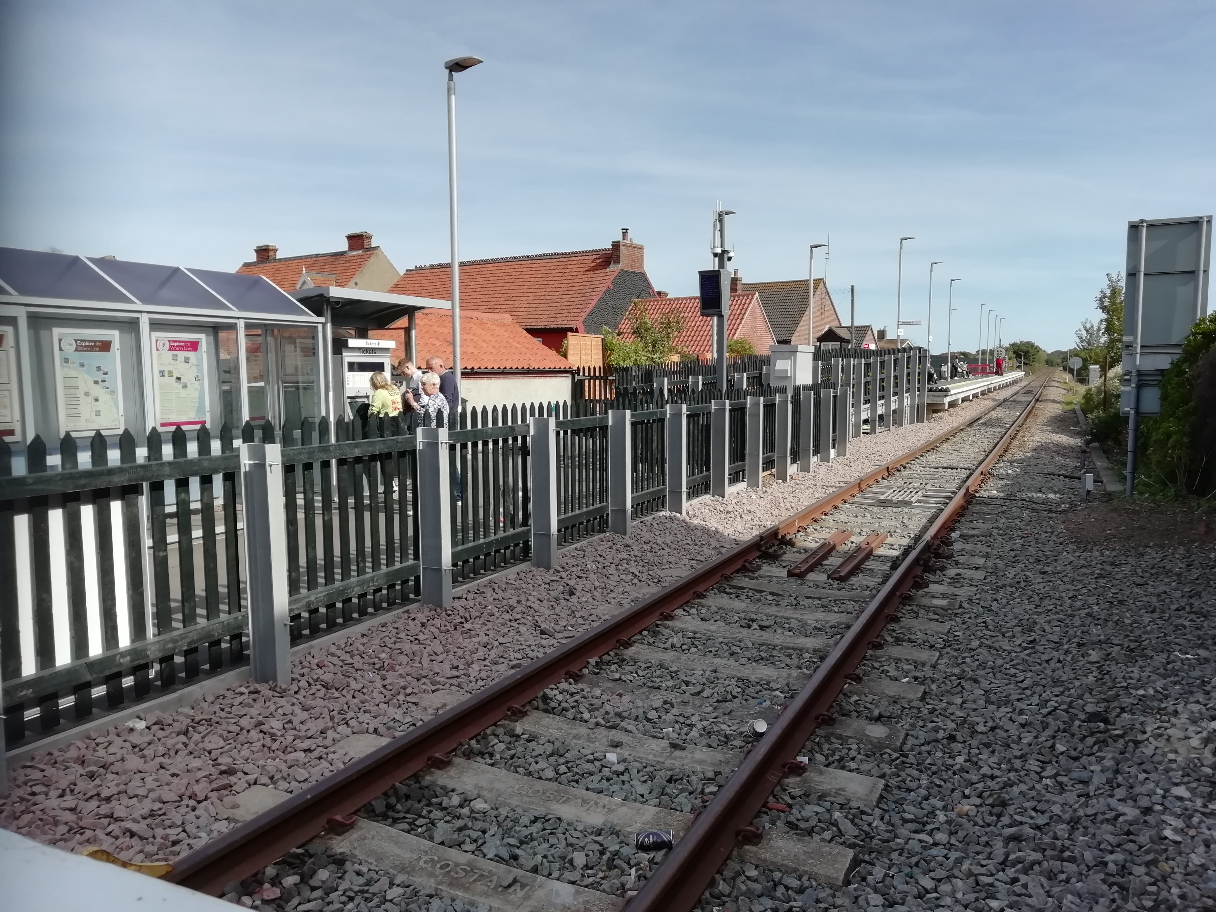
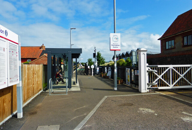
Sheringham railway station
Sheringham railway station is the northern terminus of the Bittern Line in Norfolk, England, serving the town of Sheringham. It is 30 miles 22 chains...
Sheringham High School
Sheringham High School is a secondary school and sixth form located in the town of Sheringham in the English county of Norfolk. The school has around 700...
Nearby Amenities
Located within 500m of 52.933773,1.2099617Have you been to Morley Hill?
Leave your review of Morley Hill below (or comments, questions and feedback).