Knockhimdown Hill
Hill, Mountain in Kent Canterbury
England
Knockhimdown Hill

Knockhimdown Hill is a prominent geographical feature situated in the county of Kent, England. Despite its name, it is not an actual hill or mountain but rather a significant landmark with historical and cultural significance.
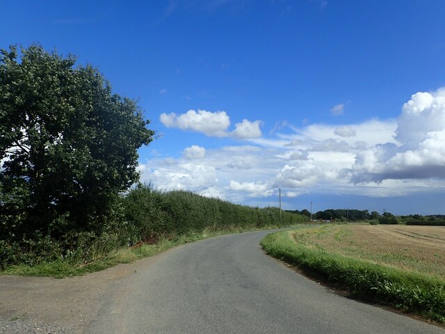
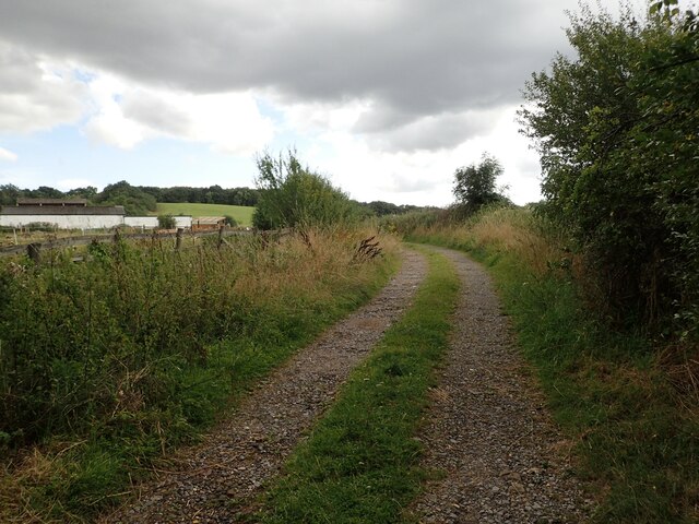
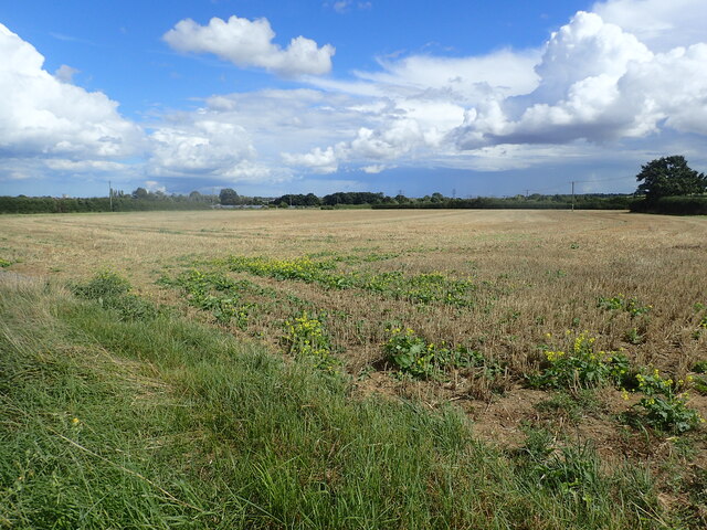
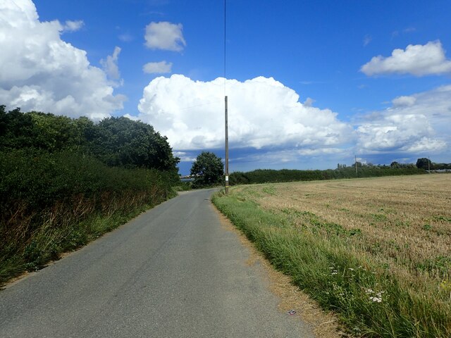
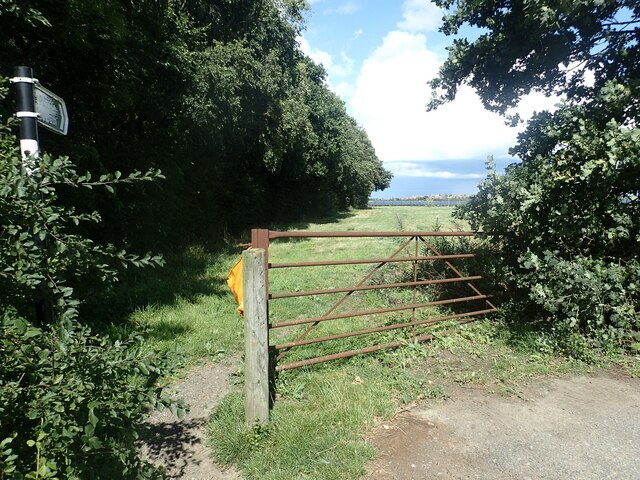
Located on the outskirts of the village of Knockholt, Knockhimdown Hill is a popular destination for hikers, nature enthusiasts, and locals alike. The hill offers breathtaking panoramic views of the surrounding countryside, including the North Downs and the Weald, making it a fantastic spot for photography and picnicking.
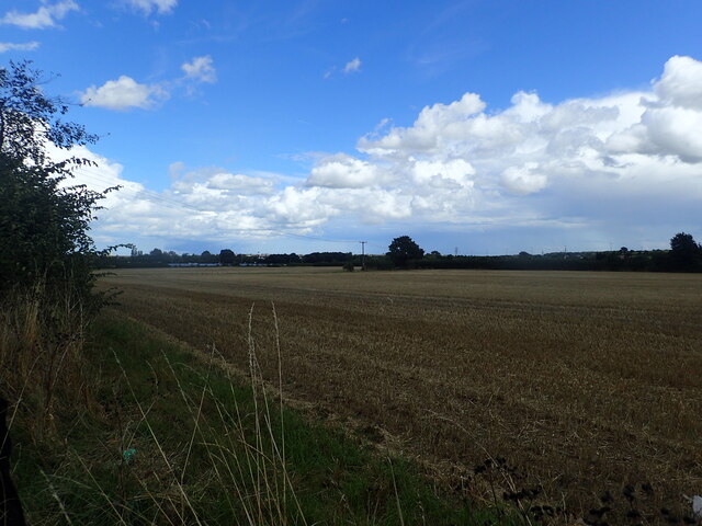
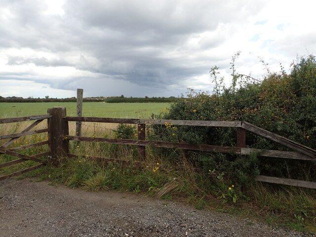
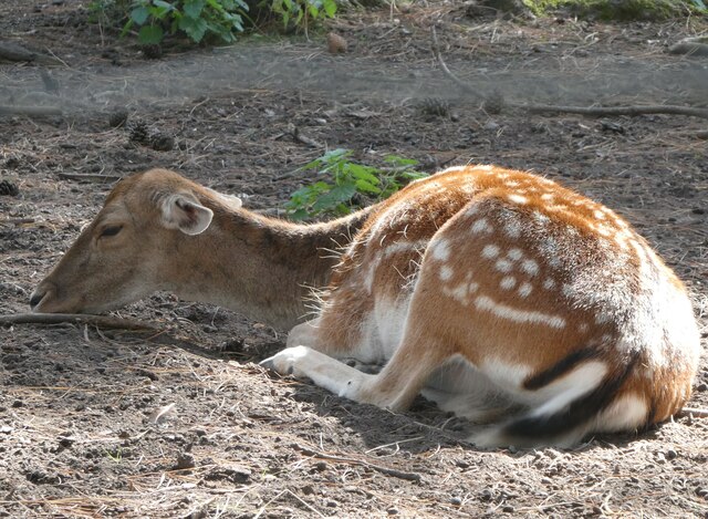
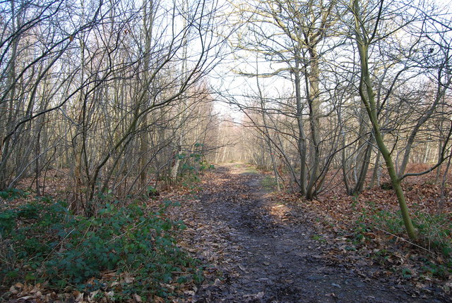
Covered in lush greenery and dotted with vibrant wildflowers during the warmer months, Knockhimdown Hill is a haven for biodiversity. Its diverse flora and fauna attract a variety of wildlife, including butterflies, birds, and small mammals. The area is also home to several species of rare plants, making it an important site for conservation efforts.
The hill has a rich historical background, with evidence of human activity dating back to the Neolithic period. Archaeological excavations have revealed ancient burial mounds and remnants of a Roman villa, indicating that the area was inhabited centuries ago. Today, visitors can explore the remnants of these ancient structures and gain insight into the region's past.
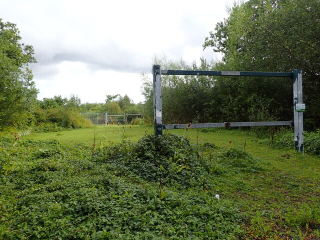
Knockhimdown Hill is easily accessible via a network of footpaths and bridleways, allowing visitors to explore the surrounding countryside and enjoy the beautiful scenery. The area is well-maintained, with picnic areas and benches available for visitors to relax and soak in the tranquil atmosphere. Whether one is seeking a peaceful retreat or an adventure in nature, Knockhimdown Hill offers a delightful experience for all.
If you have any feedback on the listing, please let us know in the comments section below.
Knockhimdown Hill Images
Images are sourced within 2km of 51.337366/1.0936194 or Grid Reference TR1564. Thanks to Geograph Open Source API. All images are credited.


Knockhimdown Hill is located at Grid Ref: TR1564 (Lat: 51.337366, Lng: 1.0936194)
Administrative County: Kent
District: Canterbury
Police Authority: Kent
What 3 Words
///palms.manage.hogs. Near Tankerton, Kent
Nearby Locations
Related Wikis
West Blean and Thornden Woods
West Blean and Thornden Woods is a 781-hectare (1,930-acre) biological Site of Special Scientific Interest north of Canterbury in Kent. It is part of the...

Wildwood Discovery Park
Wildwood Trust (formerly known as Wildwood Discovery Park) is a woodland discovery park in Herne, near Canterbury in Kent, England. It features over fifty...

Radfall
Radfall is a hamlet between Whitstable and Canterbury, in southeast England. It lies between the Thanet Way and Thornden Wood, in the Canterbury district...

Curtis Wood
Curtis Wood is a 5.3-hectare (13-acre) Local Nature Reserve in Herne in Kent. It is owned and managed by Canterbury City Council.This wood has diverse...
Calcott, Kent
Calcott is a hamlet in Sturry parish, in the Canterbury District of the English county of Kent. It lies on the A291 road, about 1+1⁄2 miles (2.4 km) north...
Greenhill, Kent
Greenhill is an outlying suburb of the coastal town of Herne Bay, in Kent in southeast England. The erstwhile Thanet Way, now renumbered as the A2990 road...

Chestfield
Chestfield is a village (and civil parish and with Swalecliffe a district council ward) in the Canterbury District of Kent, England. The parish is centred...

Herne Bay High School
Herne Bay High School is a mixed ability Academy, with designated Sports College status, situated in Herne Bay, Kent, England. There are 1506 students...
Nearby Amenities
Located within 500m of 51.337366,1.0936194Have you been to Knockhimdown Hill?
Leave your review of Knockhimdown Hill below (or comments, questions and feedback).