Home Covert
Wood, Forest in Suffolk Babergh
England
Home Covert
Home Covert is a dense woodland area located in Suffolk, England. Covering an expansive area, it is situated near the village of Wood and is commonly referred to as Wood Forest. The forest is known for its diverse range of flora and fauna, making it a haven for nature enthusiasts and wildlife lovers.
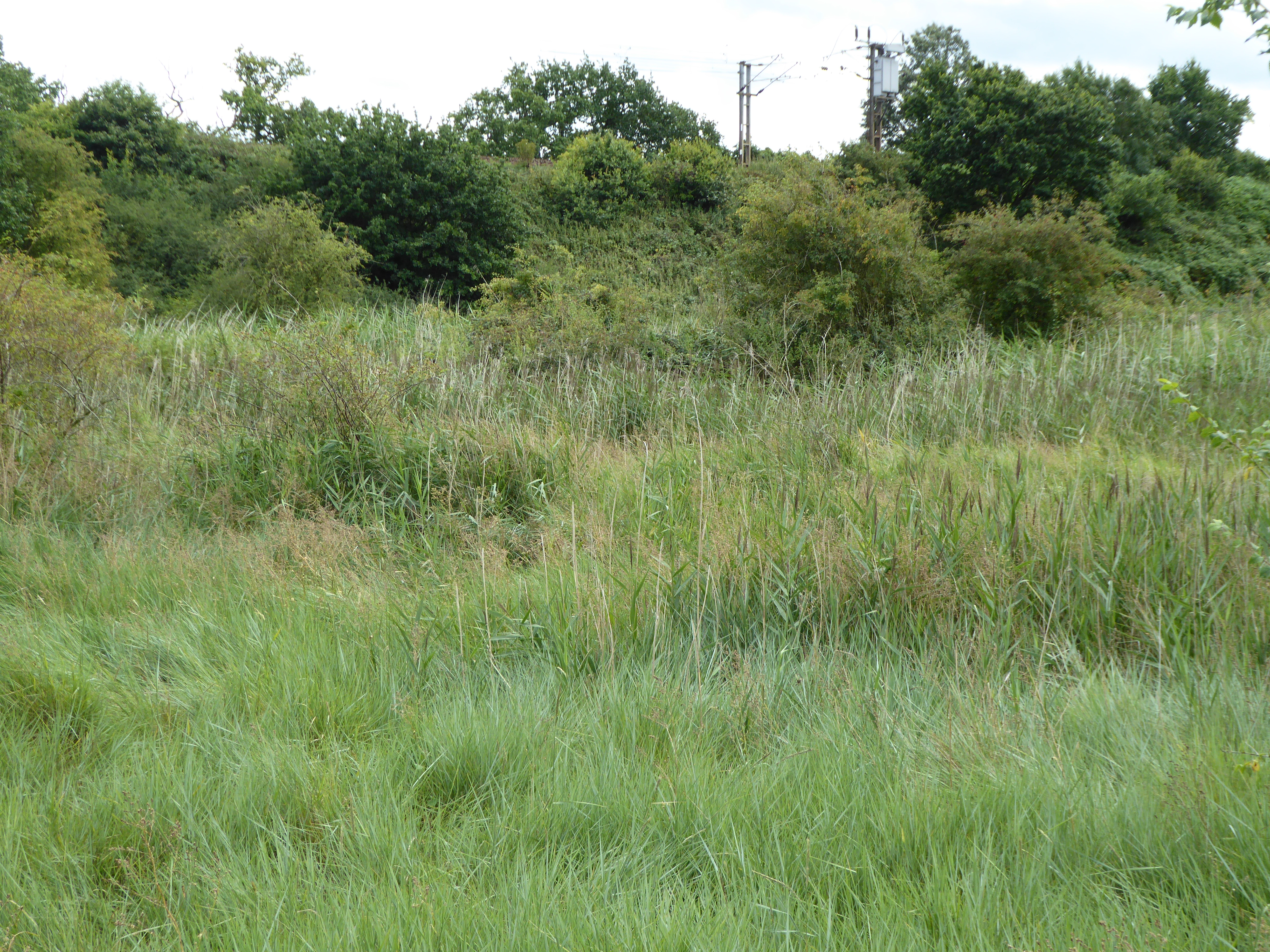
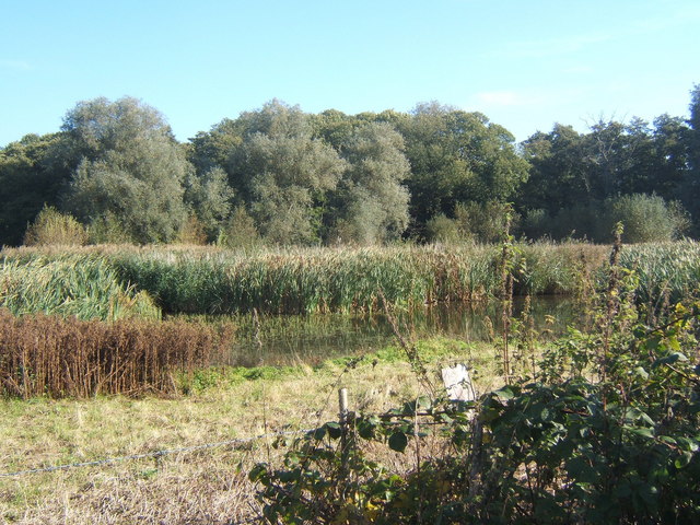
The woodland is predominantly composed of broadleaf trees such as oak, beech, and birch, creating a picturesque landscape throughout the seasons. The dense canopy provides ample shade and shelter, creating a cool and tranquil environment even during the hot summer months. The forest floor is rich with a variety of wildflowers, mosses, and ferns, adding to the overall beauty of the area.
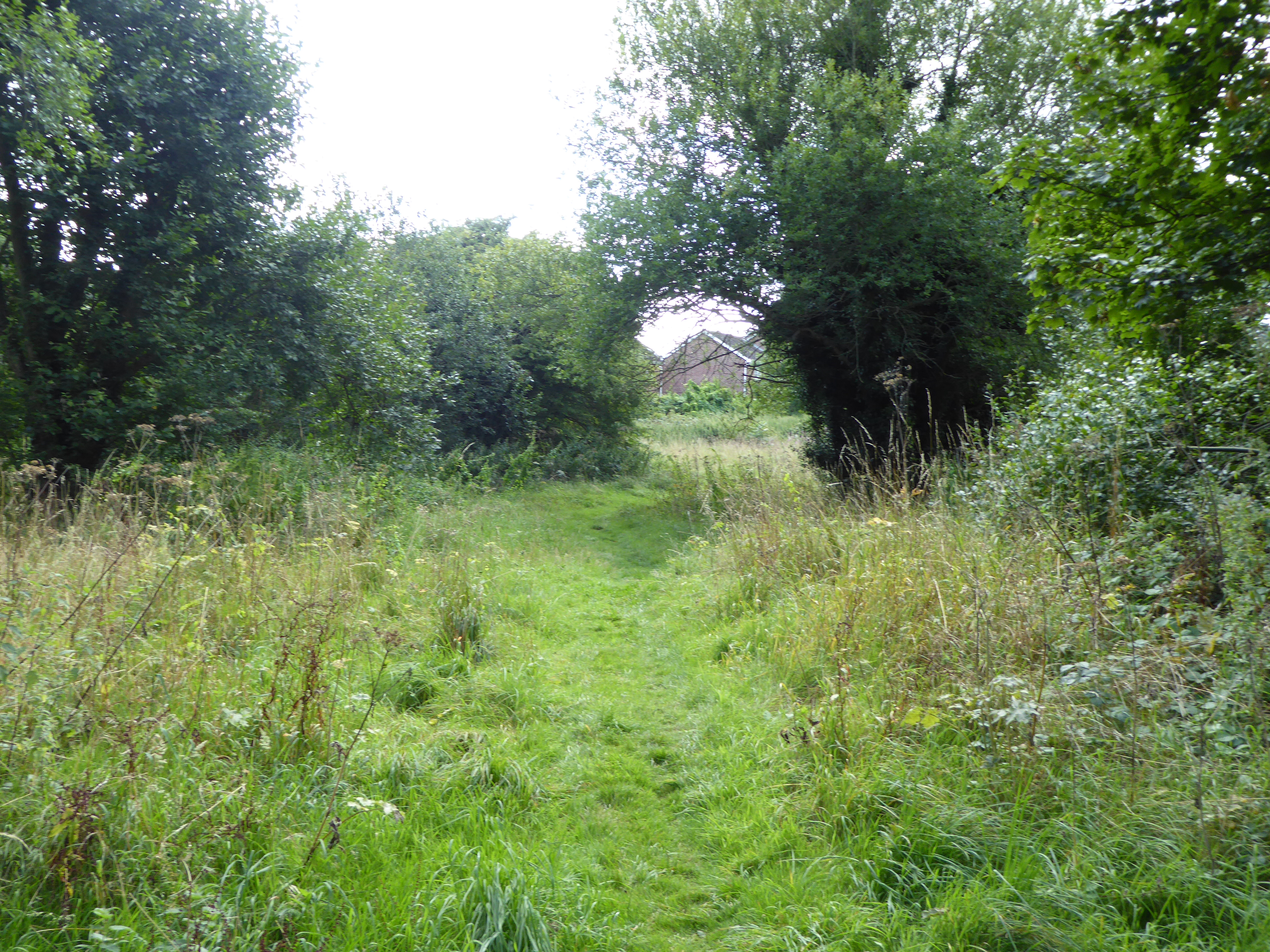
Home Covert is a popular destination for outdoor activities such as hiking, bird-watching, and photography. The network of well-maintained trails offers visitors the opportunity to explore the forest at their leisure, immersing themselves in the natural surroundings. The forest is also home to a wide range of wildlife, including deer, foxes, squirrels, and numerous bird species.
The management of Home Covert focuses on preserving the natural ecosystem while also providing public access and recreational opportunities. Conservation efforts are in place to protect the woodland from any potential threats and maintain its ecological balance. Local authorities also organize educational programs and guided tours to raise awareness about the importance of preserving the forest.
In conclusion, Home Covert in Suffolk, also known as Wood Forest, is a captivating woodland area that offers a serene escape into nature. Its diverse range of flora and fauna, coupled with well-maintained trails and recreational opportunities, make it an ideal destination for nature lovers and outdoor enthusiasts alike.
If you have any feedback on the listing, please let us know in the comments section below.
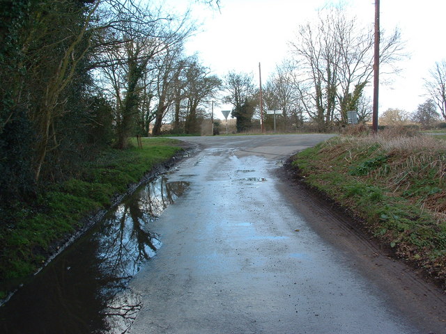
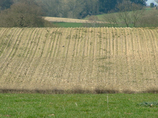
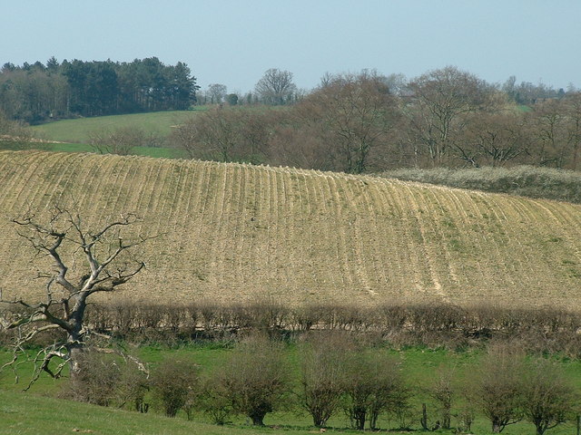
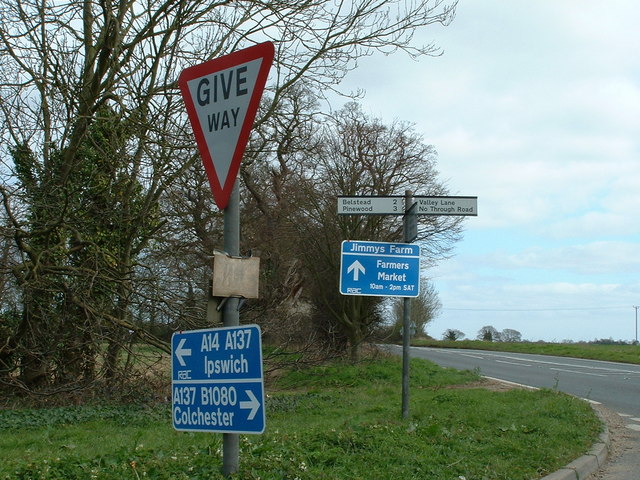
Home Covert Images
Images are sourced within 2km of 52.025888/1.1449512 or Grid Reference TM1541. Thanks to Geograph Open Source API. All images are credited.


Home Covert is located at Grid Ref: TM1541 (Lat: 52.025888, Lng: 1.1449512)
Administrative County: Suffolk
District: Babergh
Police Authority: Suffolk
What 3 Words
///cactus.makes.refreshed. Near Ipswich, Suffolk
Nearby Locations
Related Wikis
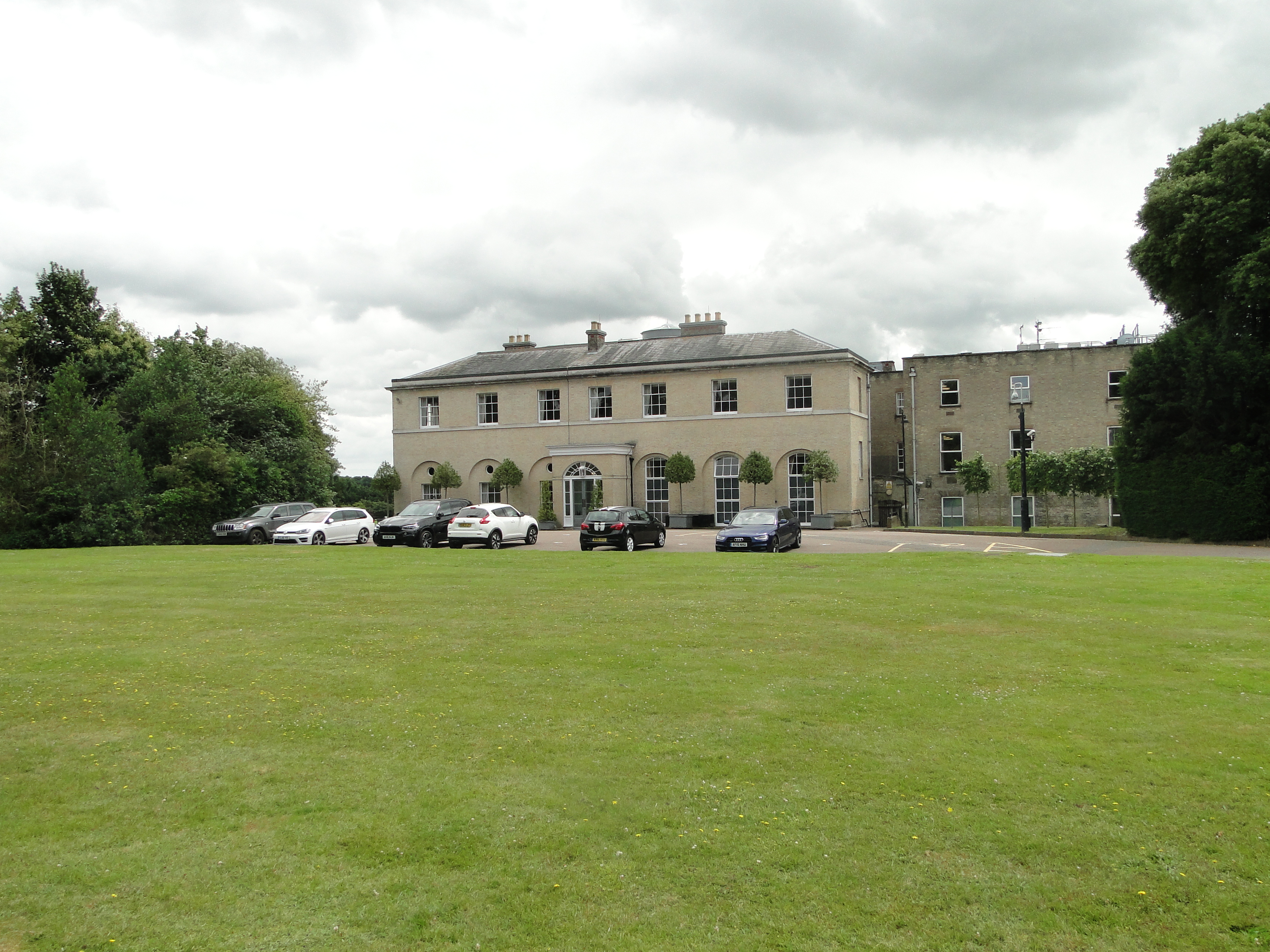
Wherstead Park
Wherstead Park Mansion in Suffolk is a house of historical significance and is listed on the English Heritage Register. It was built in 1792 for Sir Robert...
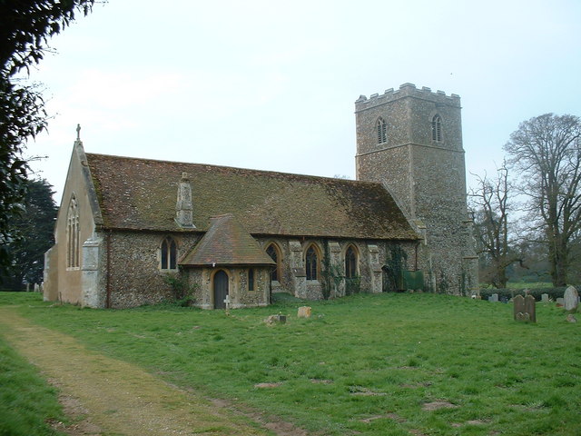
Wherstead
Wherstead is a village and a civil parish located in the county of Suffolk, England. Wherstead village lies 3 miles (4.8 km) south of Ipswich on the Shotley...
Bourne Park Reed Beds
Bourne Park Reed Beds is a 7.4 hectare Local Nature Reserve on the southern outskirts of Ipswich in Suffolk, United Kingdom. It is owned and managed by...

Bourne Bridge, Suffolk
Bourne Bridge is an historic bridge in Suffolk, England. It provided the boundary mark between Ipswich and Wherstead. The date at which a bridge replaced...

Bobbitshole, Belstead
Bobbitshole is a 1.7-hectare (4.2-acre) geological Site of Special Scientific Interest in Belstead, on the southern outskirts of Ipswich in Suffolk. It...
Stoke Park Wood
Stoke Park Wood is a 2.2 hectare Local Nature Reserve in Ipswich in Suffolk. It is owned and managed by Ipswich Borough Council.This ancient wood was formerly...
Bobbits Lane
Bobbits Lane is a 16.1 hectares (40 acres) Local Nature Reserve in Ipswich in Suffolk. It is owned by Ipswich Borough Council and managed by the Greenways...

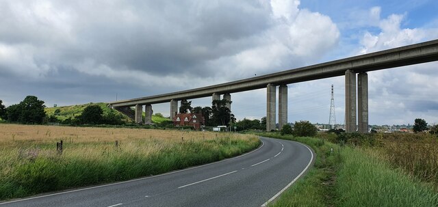
Orwell Bridge
The Orwell Bridge is a concrete box girder bridge just south of Ipswich in Suffolk, England. Opened to road traffic in 1982, the bridge carries the A14...
Nearby Amenities
Located within 500m of 52.025888,1.1449512Have you been to Home Covert?
Leave your review of Home Covert below (or comments, questions and feedback).