Fishpool Covert

Wood, Forest in Norfolk Broadland

England

Fishpool Covert

Old Milestone (south face) by the B1149, Holt Road, Felthorpe Parish Carved stone post by the B1149, in parish of FELTHORPE (BROADLAND District), Holt Road, opposite No. 24, on the verge, on West side of road. Norfolk County Council pillar, erected by an unknown authority in the 19th century. An earlier photograph can be found here <a title="https://www.geograph.org.uk/photo/6616348" href="https://www.geograph.org.uk/photo/6616348">Link</a>.

Inscription reads:- : TO / HOLT / 7 / MILES : : FELTHORPE : : TO / NORWICH / 14 / MILES : 

Listed. 

Milestone Society National ID: NO_NH07.
Old Milestone (south face) by the B1149, Holt Road, Felthorpe Parish Credit: Alan Lake

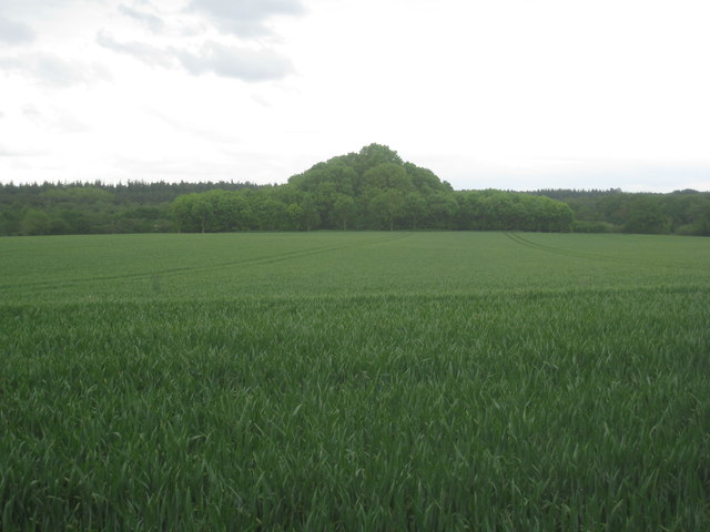
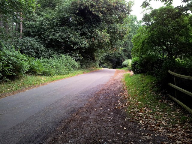
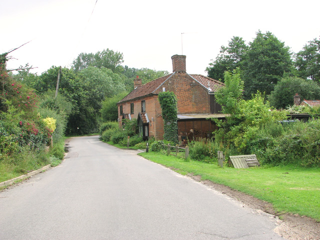
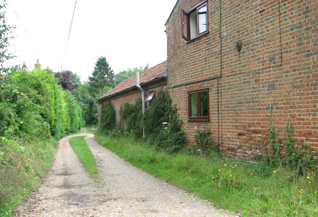
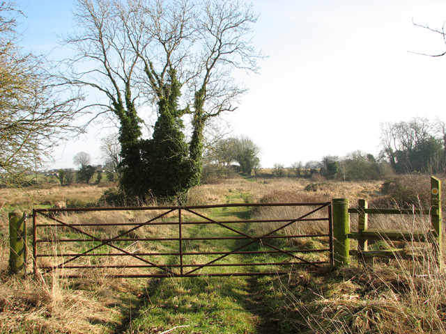
Fishpool Covert is a picturesque woodland located in the county of Norfolk, England. Spanning an area of approximately 50 acres, it is situated near the village of Bintree, just a few miles east of the market town of Dereham. The covert is part of the larger Forest of Dereham and is renowned for its natural beauty and diverse wildlife.

As its name suggests, Fishpool Covert was historically used as a hunting ground, with fish ponds also present in the area. The woodland consists mainly of mature broadleaf trees, including oak, beech, and birch, which provide a dense canopy and create a serene atmosphere.

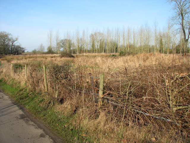
The covert is a haven for wildlife, attracting a wide variety of animals and birds. Visitors to Fishpool Covert may encounter deer, badgers, squirrels, and a multitude of bird species such as woodpeckers, jays, and thrushes. The woodland floor is adorned with wildflowers and ferns, adding to its natural charm.

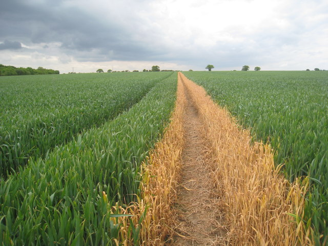
Several walking trails meander through the covert, allowing visitors to explore its beauty and connect with nature. These paths offer opportunities for leisurely strolls, birdwatching, and photography. The peaceful surroundings make Fishpool Covert an ideal destination for nature enthusiasts, families, and those seeking a tranquil escape from the hustle and bustle of everyday life.

Managed by the Forestry Commission, Fishpool Covert is well-maintained, with clear signage and designated picnic areas. It is open year-round, with free admission, making it accessible to all. The woodland also hosts educational programs and events, providing learning opportunities for schools and community groups.

Overall, Fishpool Covert is a captivating woodland retreat, offering a serene and immersive experience in the heart of Norfolk's natural landscape.

If you have any feedback on the listing, please let us know in the comments section below.

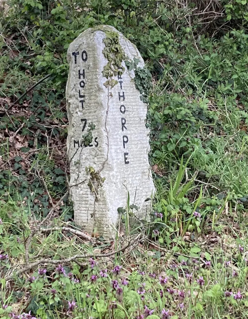
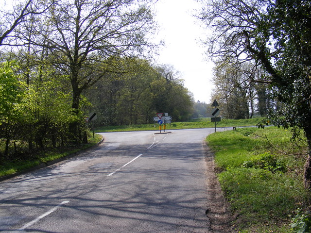
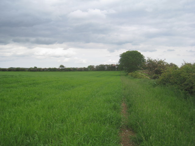
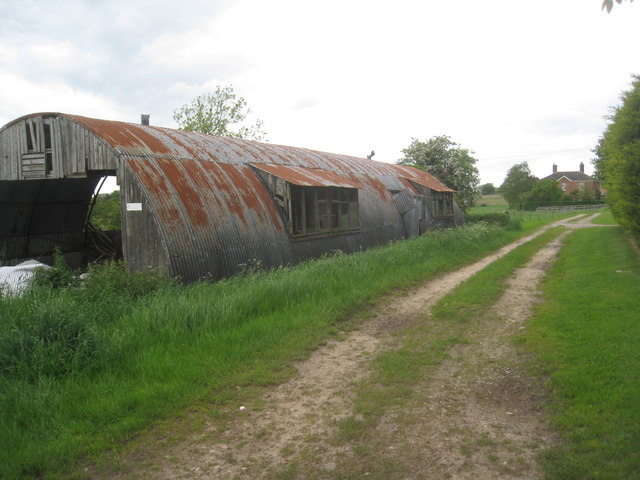
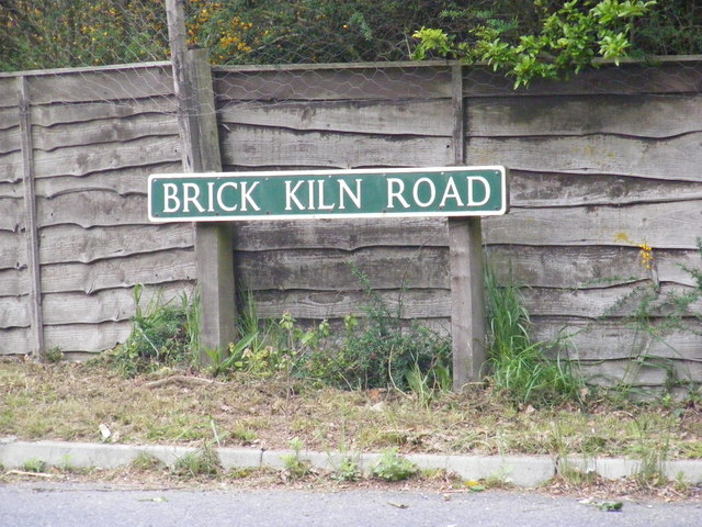
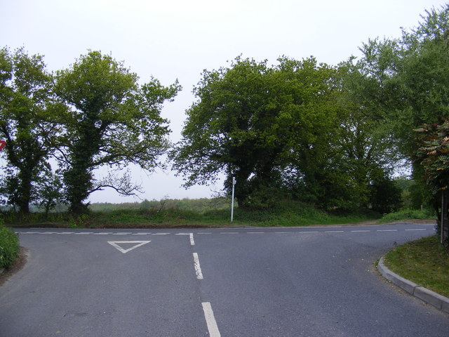
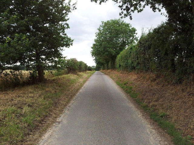
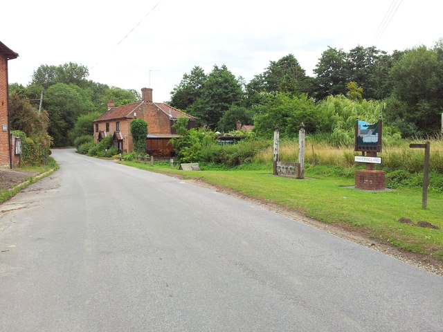
Fishpool Covert Images

Images are sourced within 2km of 52.735138/1.1957376 or Grid Reference TG1520. Thanks to Geograph Open Source API. All images are credited.

Old Milestone (south face) by the B1149, Holt Road, Felthorpe Parish Carved stone post by the B1149, in parish of FELTHORPE (BROADLAND District), Holt Road, opposite No. 24, on the verge, on West side of road. Norfolk County Council pillar, erected by an unknown authority in the 19th century. An earlier photograph can be found here <a title="https://www.geograph.org.uk/photo/6616348" href="https://www.geograph.org.uk/photo/6616348">Link</a>.

Inscription reads:- : TO / HOLT / 7 / MILES : : FELTHORPE : : TO / NORWICH / 14 / MILES : 

Listed. 

Milestone Society National ID: NO_NH07.
Old Milestone (south face) by the B1149, Holt Road, Felthorpe Parish
Carved stone post by the B1149, in parish of FELTHORPE (BROADLAND District), Holt Road, opposite No. 24, on the verge, on West side of road. Norfolk County Council pillar, erected by an unknown authority in the 19th century. An earlier photograph can be found here Link. Inscription reads:- : TO / HOLT / 7 / MILES : : FELTHORPE : : TO / NORWICH / 14 / MILES : Listed. Milestone Society National ID: NO_NH07.
Short -Thorn Road, Felthorpe Approaching the B1149 Holt Road
Short -Thorn Road, Felthorpe
Approaching the B1149 Holt Road
Footpath to Haveringland Follows the edge of the field.
Footpath to Haveringland
Follows the edge of the field.
Nissen hut at the Woodlands Still in use for storage though getting rather dilapidated.
Nissen hut at the Woodlands
Still in use for storage though getting rather dilapidated.
View towards Brickkiln Covert Strange pyramidal shape.
View towards Brickkiln Covert
Strange pyramidal shape.
Footpath to Swannington Someone has been sloshing the weedkiller around.
Footpath to Swannington
Someone has been sloshing the weedkiller around.
B1149 Holt Street, Hevingham At the junction with Brick Kiln Road
B1149 Holt Street, Hevingham
At the junction with Brick Kiln Road
Brick Kiln Road, Hevingham At the junction with the B1149 Holt Street
Brick Kiln Road, Hevingham
At the junction with the B1149 Holt Street
Brick Kiln Road sign On Brick Kiln Road at the junction with the B1149 Holt Street
Brick Kiln Road sign
On Brick Kiln Road at the junction with the B1149 Holt Street
Brick Kiln Road, Hevingham At the junction with the B1149 Holt Road
Brick Kiln Road, Hevingham
At the junction with the B1149 Holt Road
Abbey Lane, Haveringland
Village sign & stocks, Haveringland
Mill Lane, near Felthorpe
Haveringland village sign The sign incorporates the stocks which still stand beside it (dating from 1804); Haveringland Hall (demolished in 1947) and St Peter's church. The Mosquito fighter aircraft above commemorates the nearby RAF Swannington airfield from which these planes were once flown. For a wider view of this location see > <a title="https://www.geograph.org.uk/photo/752718" href="https://www.geograph.org.uk/photo/752718">Link</a>.
Haveringland village sign
The sign incorporates the stocks which still stand beside it (dating from 1804); Haveringland Hall (demolished in 1947) and St Peter's church. The Mosquito fighter aircraft above commemorates the nearby RAF Swannington airfield from which these planes were once flown. For a wider view of this location see > Link.
View east along Haveringland Road
Footpath leading north to Quaker's Farm
Pasture by Woodlands Farm
Gate and stile on path to Mill Lane
Show me another place!

Fishpool Covert is located at Grid Ref: TG1520 (Lat: 52.735138, Lng: 1.1957376)

Administrative County: Norfolk

District: Broadland

Police Authority: Norfolk

What 3 Words

///releasing.arrived.segregate. Near Cawston, Norfolk

Related Wikis

Haveringland

Haveringland is a village and civil parish in the English county of Norfolk about 8 miles (13 km) north-west of Norwich. It covers an area of 8.91 km2...

Felthorpe

Felthorpe is a village and civil parish in the English county of Norfolk. The village is located 11 miles (18 km) east of Dereham and 7.1 miles (11.4 km...

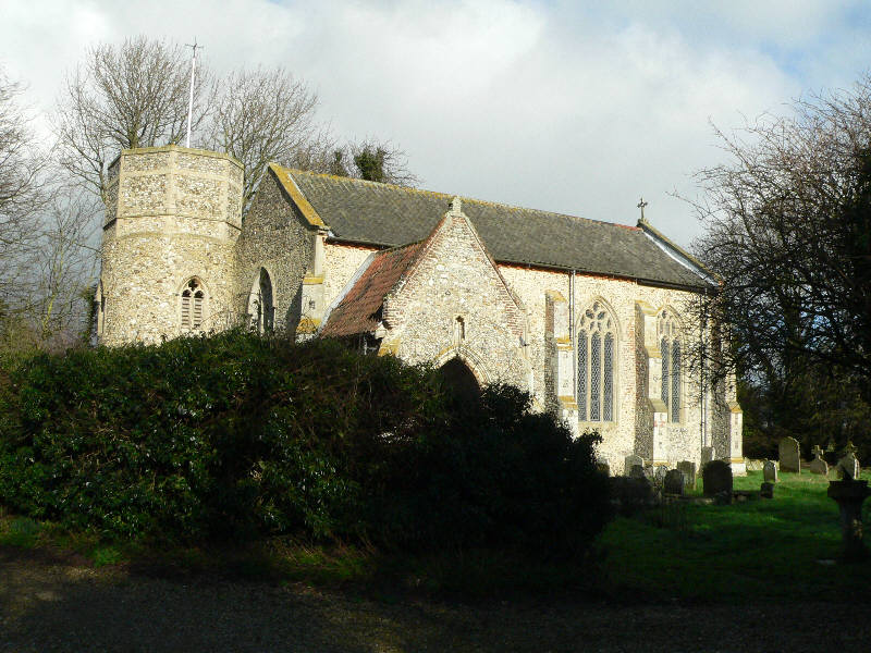
St Nicholas Church, Brandiston

St Nicholas Church is a redundant Anglican church in the village of Brandiston, Norfolk, England. It is recorded in the National Heritage List for England...

Swannington Upgate Common

Swannington Upgate Common is a 20.5-hectare (51-acre) biological Site of Special Scientific Interest north-west of Norwich in Norfolk.This site has varied...

Swannington, Norfolk

Swannington is a village and civil parish in the English county of Norfolk, United Kingdom. The villages name means 'Farm/settlement connected with Swan...

Guton

Guton was a settlement in the county of Norfolk in England mentioned in the Domesday Book as Guthetuna. It is described as being held by Osbert from Tihel...

Broadland (UK Parliament constituency)

Broadland is a Norfolk constituency, which has been represented in the House of Commons of the UK Parliament since the 2019 general election by Jerome...

Brandiston

Brandiston is a small village and civil parish near the centre of the county of Norfolk, England, about two miles south-east of the small market town of...

Nearby Amenities

Located within 500m of 52.735138,1.1957376
Barrier: ditch
Note: no means of crossing water
Lat/Long: 52.7332297/1.2018663
Barrier: fence
Note: Barbed wire fence blocks way.
Lat/Long: 52.7337024/1.2019664
Line Attachment: anchor
Line Management: transition
Man Made: utility_pole
Power: pole
Transformer: distribution
Lat/Long: 52.7334688/1.1923942
Power: pole
Lat/Long: 52.7384223/1.2006473
Power: pole
Lat/Long: 52.7386205/1.1991513
Power: pole
Lat/Long: 52.7389708/1.1966474
Power: pole
Lat/Long: 52.739117/1.1955122
Power: pole
Lat/Long: 52.7392335/1.1946009
Power: pole
Lat/Long: 52.7392331/1.194045
Power: pole
Lat/Long: 52.7392205/1.1932799
The data included in this document is from www.openstreetmap.org. The data is made available under ODbL.

Have you been to Fishpool Covert?

Leave your review of Fishpool Covert below (or comments, questions and feedback).