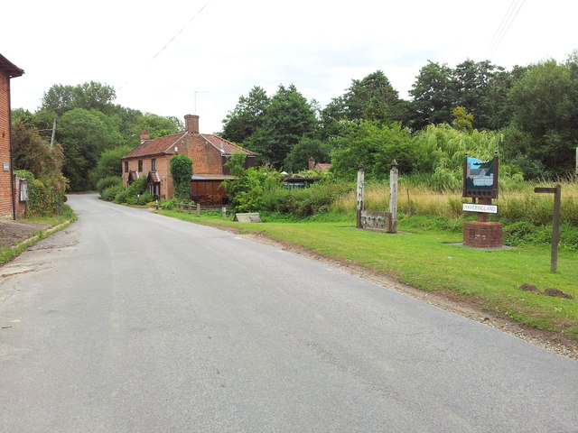
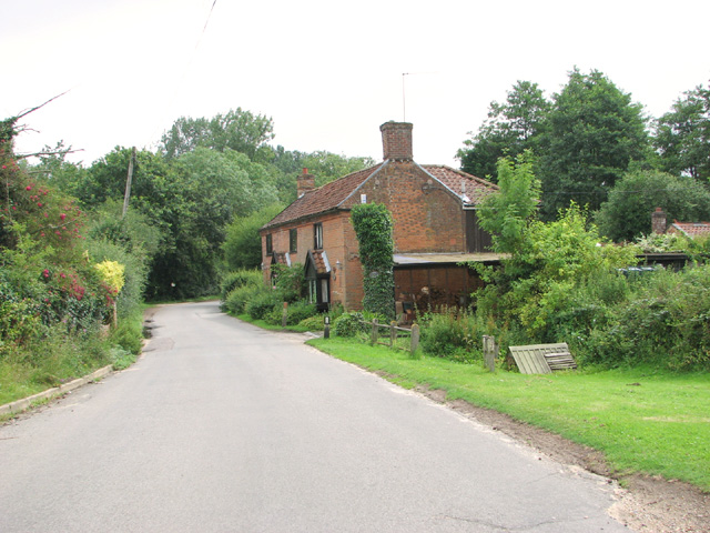
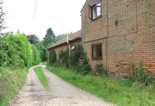
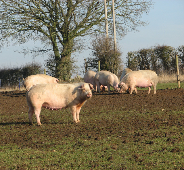
Haveringland

Civil Parish in Norfolk Broadland

England

Haveringland

Short -Thorn Road, Felthorpe Approaching the B1149 Holt Road
Short -Thorn Road, Felthorpe Credit: Geographer

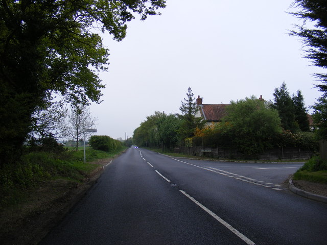
Haveringland is a civil parish located in the county of Norfolk, England. It is situated approximately 13 miles north-west of Norwich and covers an area of around 7.5 square miles. The parish is primarily rural, with a scattering of small villages and hamlets.

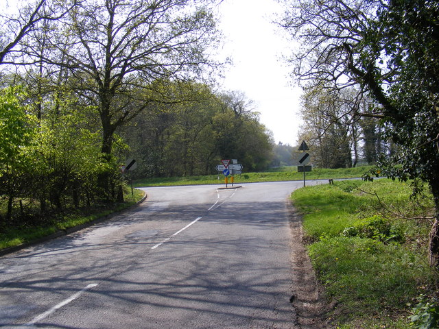
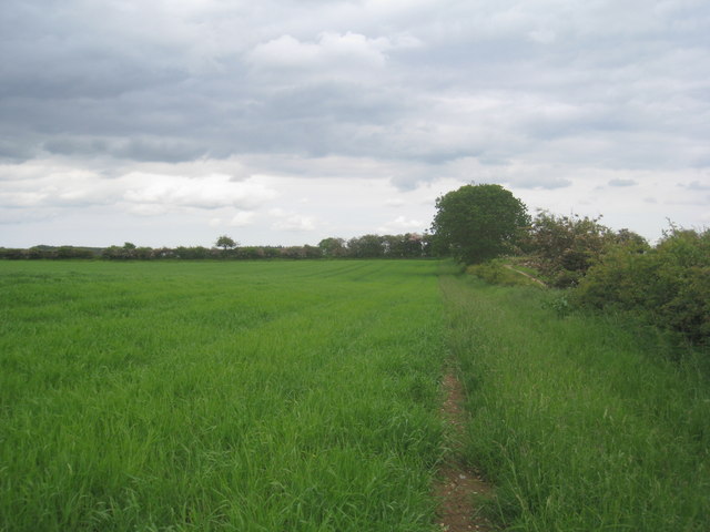
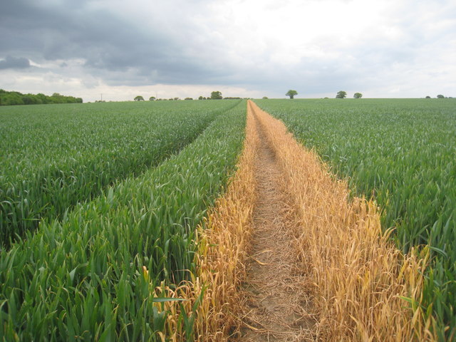
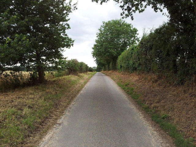
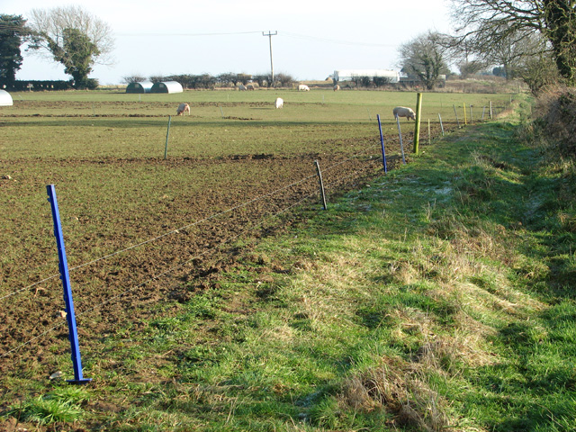
The landscape of Haveringland is characterized by open fields, meadows, and woodlands, providing a picturesque and tranquil setting. The area is known for its natural beauty and is popular with walkers, cyclists, and nature enthusiasts. The parish is also home to several nature reserves, including the Haveringland Hall Park and the Haveringland Wood.

Historically, Haveringland was part of the Hundred of Eynsford and was mentioned in the Domesday Book of 1086. The name "Haveringland" is believed to derive from the Old English words "hæfera," meaning heifers, and "land," indicating a piece of land where heifers were kept.

Today, Haveringland remains a predominantly agricultural area, with farming being the primary occupation. However, there are also a number of small businesses and services operating within the parish, catering to the local community.

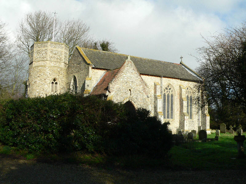
The population of Haveringland is relatively small, with around 500 residents. The parish is served by a local church, St. Peter's, which dates back to the 13th century and is a Grade II listed building.

In summary, Haveringland is a rural civil parish in Norfolk, known for its natural beauty, agricultural heritage, and peaceful atmosphere.

If you have any feedback on the listing, please let us know in the comments section below.

Haveringland Images

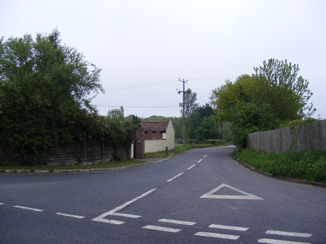
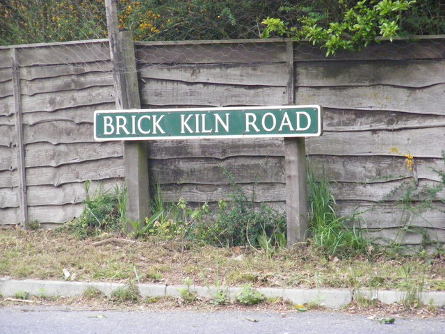
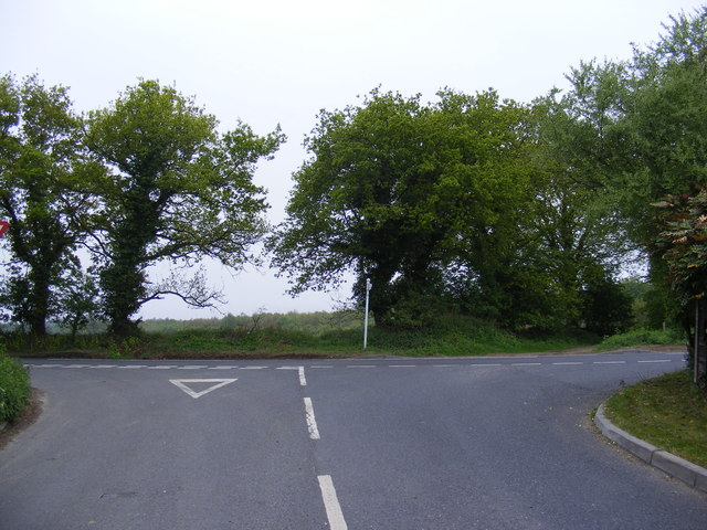
Images are sourced within 2km of 52.739005/1.196922 or Grid Reference TG1520. Thanks to Geograph Open Source API. All images are credited.

Short -Thorn Road, Felthorpe Approaching the B1149 Holt Road
Short -Thorn Road, Felthorpe
Approaching the B1149 Holt Road
Footpath to Haveringland Follows the edge of the field.
Footpath to Haveringland
Follows the edge of the field.
Footpath to Swannington Someone has been sloshing the weedkiller around.
Footpath to Swannington
Someone has been sloshing the weedkiller around.
B1149 Holt Street, Hevingham At the junction with Brick Kiln Road
B1149 Holt Street, Hevingham
At the junction with Brick Kiln Road
Brick Kiln Road, Hevingham At the junction with the B1149 Holt Street
Brick Kiln Road, Hevingham
At the junction with the B1149 Holt Street
Brick Kiln Road sign On Brick Kiln Road at the junction with the B1149 Holt Street
Brick Kiln Road sign
On Brick Kiln Road at the junction with the B1149 Holt Street
Brick Kiln Road, Hevingham At the junction with the B1149 Holt Road
Brick Kiln Road, Hevingham
At the junction with the B1149 Holt Road
Abbey Lane, Haveringland
Village sign & stocks, Haveringland
Haveringland village sign The sign incorporates the stocks which still stand beside it (dating from 1804); Haveringland Hall (demolished in 1947) and St Peter's church. The Mosquito fighter aircraft above commemorates the nearby RAF Swannington airfield from which these planes were once flown. For a wider view of this location see > <a title="https://www.geograph.org.uk/photo/752718" href="https://www.geograph.org.uk/photo/752718">Link</a>.
Haveringland village sign
The sign incorporates the stocks which still stand beside it (dating from 1804); Haveringland Hall (demolished in 1947) and St Peter's church. The Mosquito fighter aircraft above commemorates the nearby RAF Swannington airfield from which these planes were once flown. For a wider view of this location see > Link.
View east along Haveringland Road
Footpath leading north to Quaker's Farm
Free-range pigs
Free-range pigs
Free-range pigs For a wider view of this location see > <a title="https://www.geograph.org.uk/photo/4321034" href="https://www.geograph.org.uk/photo/4321034">Link</a>.
Free-range pigs
For a wider view of this location see > Link.
Free-range pigs taking in the winter sunshine
Fields populated by free-range pigs
Footpath past free-range pigs The path links the villages of Swannington and Haveringland.
Footpath past free-range pigs
The path links the villages of Swannington and Haveringland.
Free-range pigs by Woodlands Farm
Show me another place!

Haveringland is located at Grid Ref: TG1520 (Lat: 52.739005, Lng: 1.196922)

Administrative County: Norfolk

District: Broadland

Police Authority: Norfolk

What 3 Words

///husky.plates.newsreel. Near Cawston, Norfolk

Related Wikis

Haveringland

Haveringland is a village and civil parish in the English county of Norfolk about 8 miles (13 km) north-west of Norwich. It covers an area of 8.91 km2...

St Nicholas Church, Brandiston

St Nicholas Church is a redundant Anglican church in the village of Brandiston, Norfolk, England. It is recorded in the National Heritage List for England...

Felthorpe

Felthorpe is a village and civil parish in the English county of Norfolk. The village is located 11 miles (18 km) east of Dereham and 7.1 miles (11.4 km...

Guton

Guton was a settlement in the county of Norfolk in England mentioned in the Domesday Book as Guthetuna. It is described as being held by Osbert from Tihel...

Nearby Amenities

Located within 500m of 52.739005,1.196922
Power: pole
Lat/Long: 52.7391657/1.189724
Power: pole
Lat/Long: 52.7376875/1.2035581
Power: pole
Lat/Long: 52.7380578/1.202095
Power: pole
Lat/Long: 52.7384223/1.2006473
Power: pole
Lat/Long: 52.7386205/1.1991513
Power: pole
Lat/Long: 52.7389708/1.1966474
Power: pole
Lat/Long: 52.739117/1.1955122
Power: pole
Lat/Long: 52.7392335/1.1946009
Power: pole
Lat/Long: 52.7392331/1.194045
Power: pole
Lat/Long: 52.7392205/1.1932799
Power: pole
Lat/Long: 52.7392075/1.1925416
Power: pole
Lat/Long: 52.7392002/1.191855
Power: pole
Lat/Long: 52.7391799/1.1904488
Power: pole
Lat/Long: 52.7391888/1.1911737
Power: pole
Lat/Long: 52.7398035/1.1905219
Power: pole
Lat/Long: 52.740289/1.189844
The data included in this document is from www.openstreetmap.org. The data is made available under ODbL.

Have you been to Haveringland?

Leave your review of Haveringland below (or comments, questions and feedback).