Willow Wood
Wood, Forest in Kent Shepway
England
Willow Wood

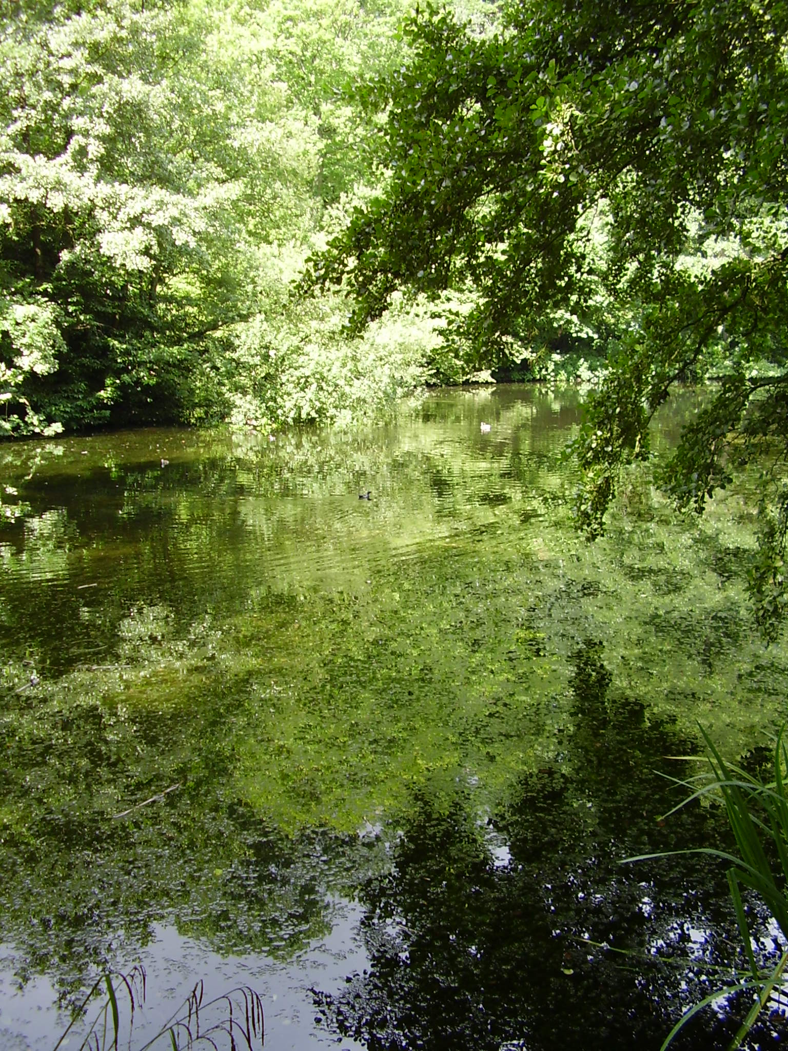
Willow Wood is a picturesque forest located in the county of Kent, in southeastern England. Covering an area of approximately 500 acres, the wood is characterized by its dense population of willow trees, which give the area its name.
The forest features a diverse range of flora and fauna, making it a haven for nature enthusiasts and wildlife observers. The dense canopy of willow trees creates a cool and shaded environment, perfect for leisurely walks and exploration. The forest floor is carpeted with a thick layer of moss, adding to the enchanting atmosphere.
Visitors to Willow Wood can enjoy a network of well-maintained trails that wind through the forest, allowing for easy access and navigation. The trails vary in length and difficulty, catering to both casual strollers and more experienced hikers. Along the way, walkers can encounter a variety of wildlife, including deer, squirrels, and a rich assortment of bird species.
In addition to its natural beauty, Willow Wood also offers several amenities for visitors. There are picnic areas scattered throughout the forest, providing a tranquil setting for outdoor meals and relaxation. The wood is also home to a small visitor center, where guests can obtain information about the forest, its history, and any ongoing conservation efforts.
Overall, Willow Wood is a tranquil and picturesque forest in Kent, offering visitors a chance to immerse themselves in nature and experience the beauty of the English countryside.
If you have any feedback on the listing, please let us know in the comments section below.
Willow Wood Images
Images are sourced within 2km of 51.08528/1.0693763 or Grid Reference TR1536. Thanks to Geograph Open Source API. All images are credited.

![Sign "Britain's Oldest Brewer", Shepherd Neame is an English regional brewery founded in 1698 by Richard Marsh in Faversham, Kent, from where they still brew.
Shepherd Neame have over 360 pubs in Kent, London, Sussex, Surrey, Hampshire, Berkshire and Essex. [2010]
Geograph Article <a title="https://www.geograph.org.uk/article/Shepherd-Neame" href="https://www.geograph.org.uk/article/Shepherd-Neame">Link</a> • Official website <span class="nowrap"><a title="http://www.shepherd-neame.co.uk/" rel="nofollow ugc noopener" href="http://www.shepherd-neame.co.uk/">Link</a><img style="margin-left:2px;" alt="External link" title="External link - shift click to open in new window" src="https://s1.geograph.org.uk/img/external.png" width="10" height="10"/></span> • Wikipedia <span class="nowrap"><a title="http://en.wikipedia.org/wiki/Shepherd_Neame_Brewery" rel="nofollow ugc noopener" href="http://en.wikipedia.org/wiki/Shepherd_Neame_Brewery">Link</a><img style="margin-left:2px;" alt="External link" title="External link - shift click to open in new window" src="https://s1.geograph.org.uk/img/external.png" width="10" height="10"/></span>](https://s1.geograph.org.uk/geophotos/06/95/68/6956853_1790eca6.jpg)


Willow Wood is located at Grid Ref: TR1536 (Lat: 51.08528, Lng: 1.0693763)
Administrative County: Kent
District: Shepway
Police Authority: Kent
What 3 Words
///shadow.movies.marketing. Near Hythe, Kent
Nearby Locations
Related Wikis
Brockhill Park Performing Arts College
Brockhill Park Performing Arts College (BPPAC) is a coeducational secondary school and sixth form located in Saltwood, Kent near the coastal town of Hythe...
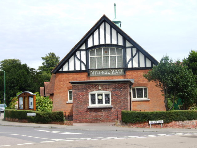
Brockhill Country Park
Brockhill Country Park is in Saltwood, near Hythe in Kent, England. The park was a former estate with landscaped gardens and has subsequently been sub...

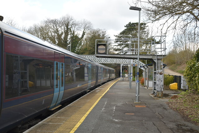
Sandling railway station
Sandling railway station is on the South Eastern Main Line in England, serving the village of Sandling and the town of Hythe, Kent. It is 65 miles 36 chains...
Saltwood
Saltwood is a village and civil parish in the Folkestone and Hythe District of Kent, England. Within the parish are the small hamlets of Pedlinge and Sandling...
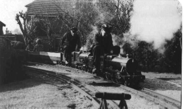
Saltwood Miniature Railway
Saltwood Miniature Railway was a 7+1⁄4 in (184 mm) gauge miniature railway which first opened in Sheffield, but subsequently relocated to Saltwood in Kent...
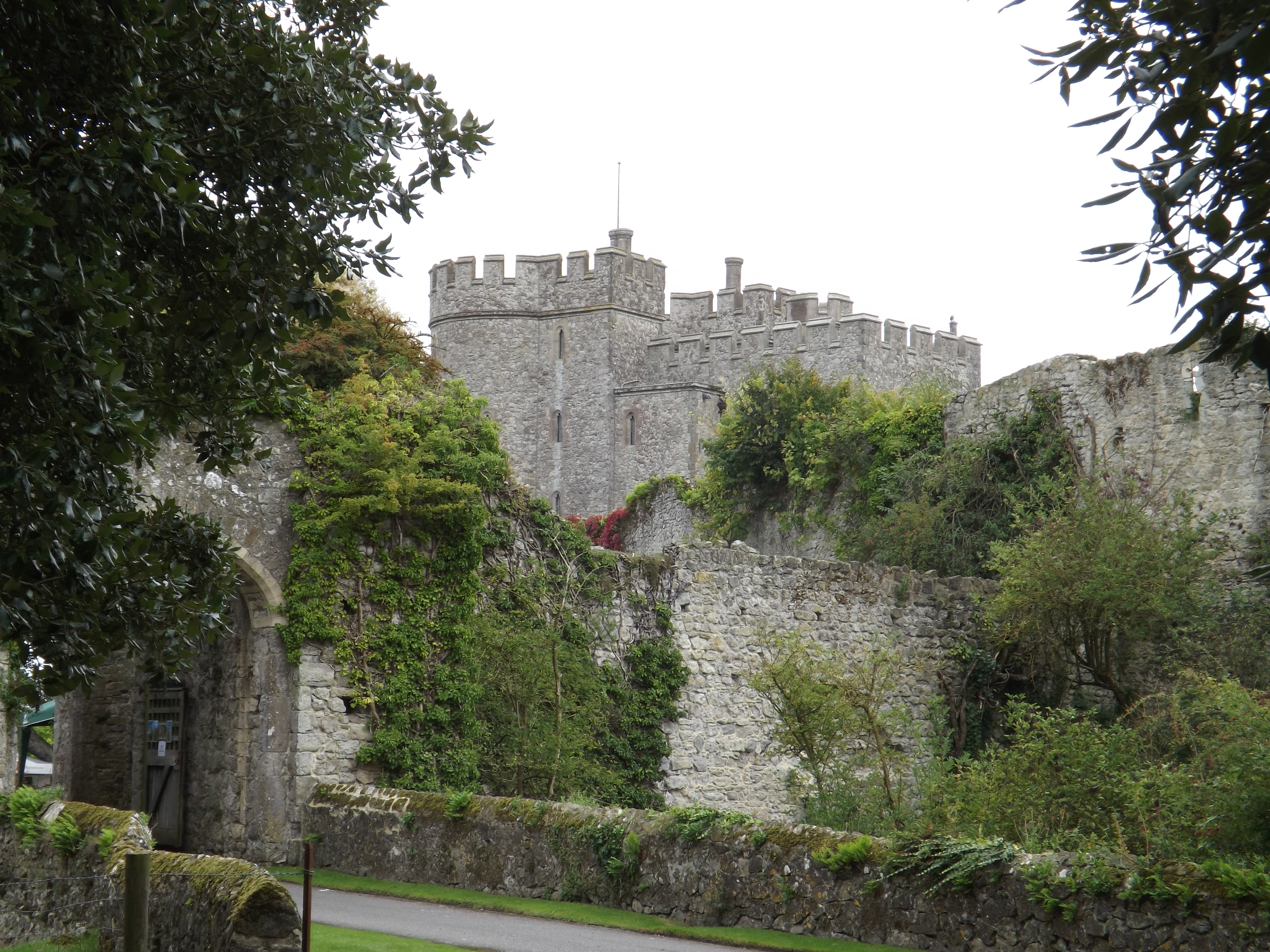
Saltwood Castle
Saltwood Castle is a castle in Saltwood village, one mile (2 km) north of Hythe, Kent, England. Of 11th century origin, the castle was expanded in the...

Pedlinge
Pedlinge is a hamlet on the edge of the village of Saltwood in Kent, England. It has its own church, though this is officially classified as a District...
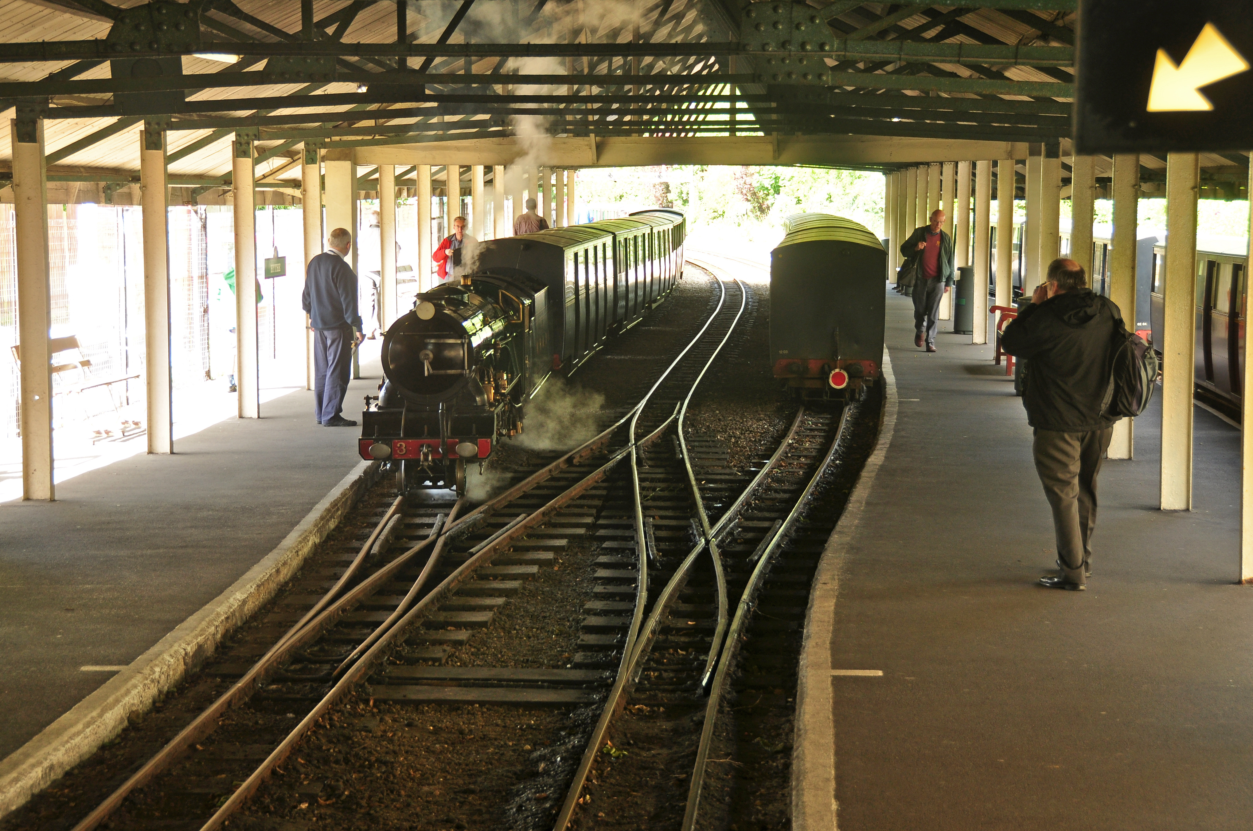
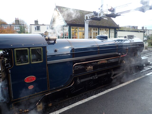
Hythe railway station (Romney, Hythe and Dymchurch Railway)
Hythe station is the northern terminus of the Romney, Hythe and Dymchurch Railway. The station has curved platforms with an overall roof, loco release...
Nearby Amenities
Located within 500m of 51.08528,1.0693763Have you been to Willow Wood?
Leave your review of Willow Wood below (or comments, questions and feedback).