Heane Wood
Wood, Forest in Kent Shepway
England
Heane Wood
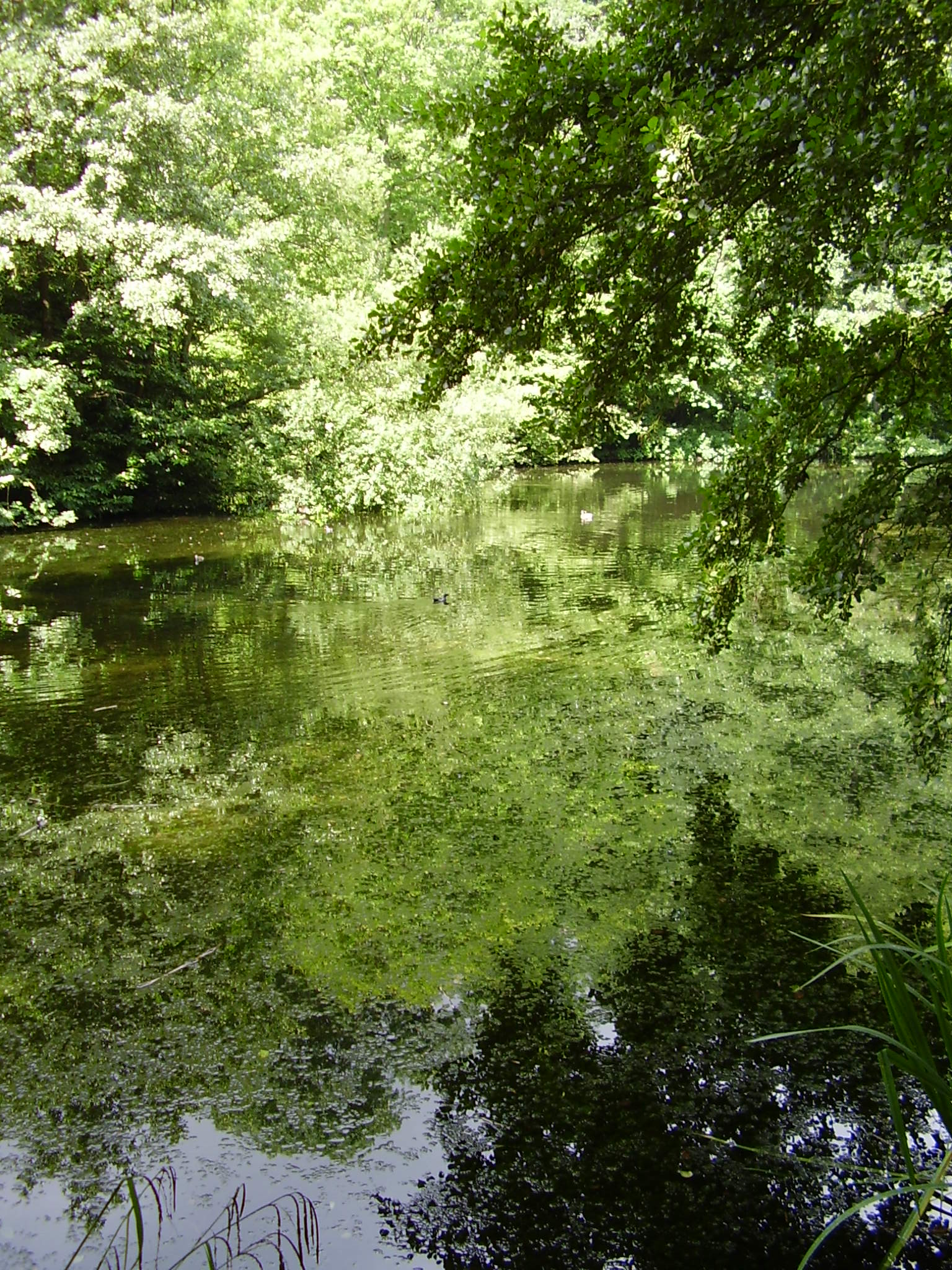
Heane Wood is a picturesque woodland located in the county of Kent, England. Covering an area of approximately 100 acres, it is nestled in the heart of the Kent Downs, an area of outstanding natural beauty. The wood is situated near the village of Brabourne, just a few miles south of Ashford.
Characterized by its diverse range of tree species, Heane Wood offers a tranquil and serene atmosphere for visitors to enjoy. Ancient oaks, beech, and sweet chestnut trees dominate the landscape, creating a dense canopy that provides shade and shelter to a variety of wildlife.
The wood is crisscrossed by a network of well-maintained footpaths, allowing visitors to explore its natural beauty and discover its hidden treasures. As they wander through the wood, visitors may encounter an array of flora and fauna, including bluebells, wild orchids, and woodpeckers.
Heane Wood is not only a haven for nature enthusiasts but also a popular destination for walkers, joggers, and families seeking outdoor activities. The wood offers numerous picnic spots and benches where visitors can relax and enjoy a peaceful lunch surrounded by nature.
Managed by the local council, Heane Wood is well-preserved and cared for, ensuring its continued ecological significance. The wood is open throughout the year, with free access for the public during daylight hours.
In summary, Heane Wood in Kent provides a delightful escape from the hustle and bustle of everyday life. Its ancient trees, diverse wildlife, and well-maintained footpaths make it a perfect destination for nature lovers and outdoor enthusiasts alike.
If you have any feedback on the listing, please let us know in the comments section below.
Heane Wood Images
Images are sourced within 2km of 51.088403/1.07104 or Grid Reference TR1536. Thanks to Geograph Open Source API. All images are credited.


Heane Wood is located at Grid Ref: TR1536 (Lat: 51.088403, Lng: 1.07104)
Administrative County: Kent
District: Shepway
Police Authority: Kent
What 3 Words
///script.upward.tuck. Near Hythe, Kent
Nearby Locations
Related Wikis

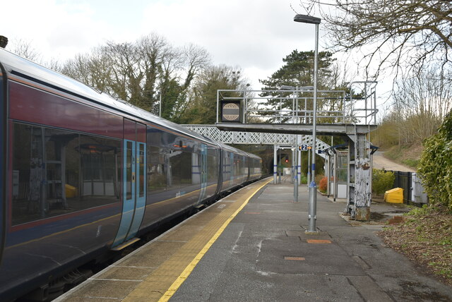
Sandling railway station
Sandling railway station is on the South Eastern Main Line in England, serving the village of Sandling and the town of Hythe, Kent. It is 65 miles 36 chains...
Brockhill Country Park
Brockhill Country Park is in Saltwood, near Hythe in Kent, England. The park was a former estate with landscaped gardens and has subsequently been sub...
Brockhill Park Performing Arts College
Brockhill Park Performing Arts College (BPPAC) is a coeducational secondary school and sixth form located in Saltwood, Kent near the coastal town of Hythe...
Saltwood
Saltwood is a village and civil parish in the Folkestone and Hythe District of Kent, England. Within the parish are the small hamlets of Pedlinge and Sandling...
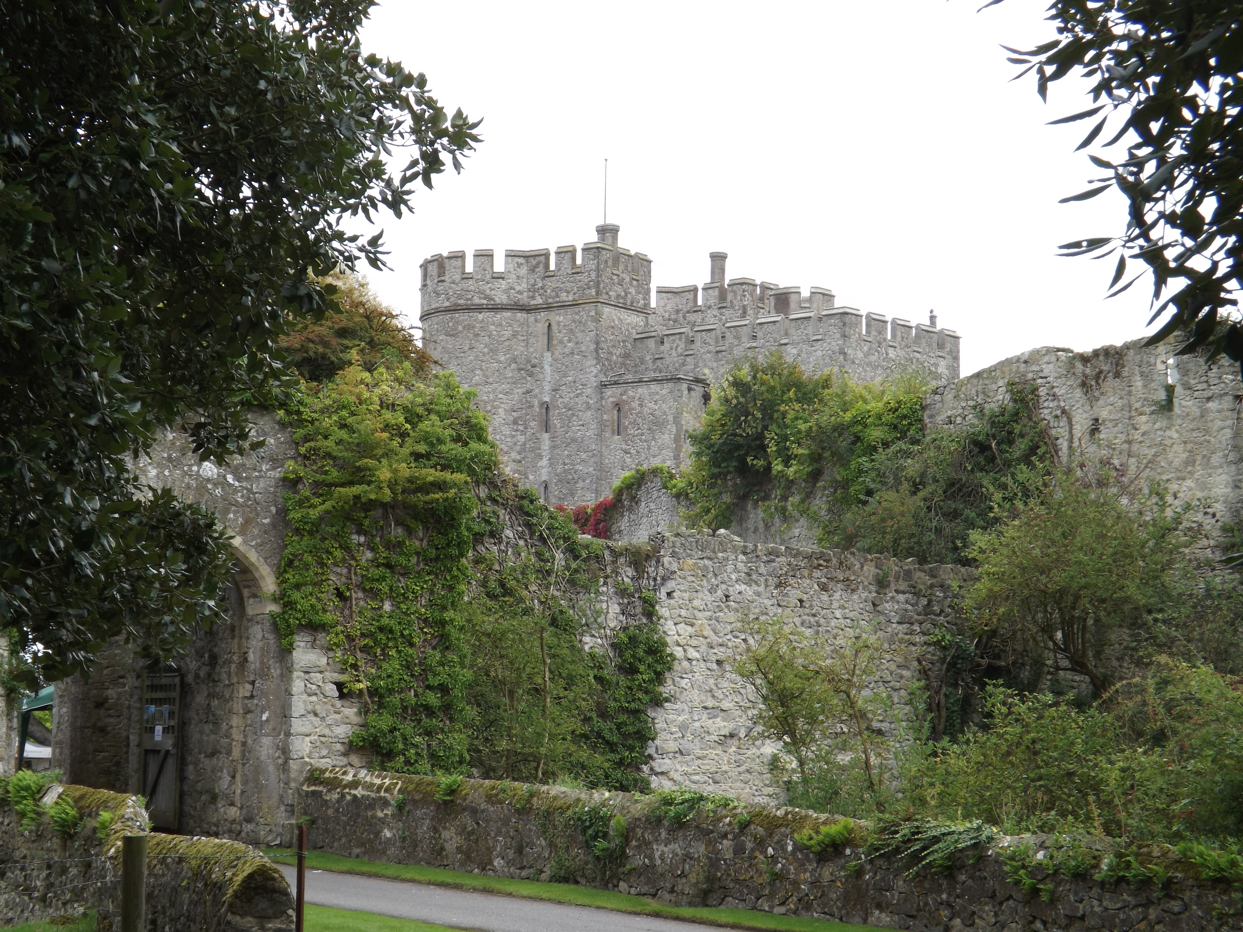
Saltwood Castle
Saltwood Castle is a castle in Saltwood village, one mile (2 km) north of Hythe, Kent, England. Of 11th century origin, the castle was expanded in the...
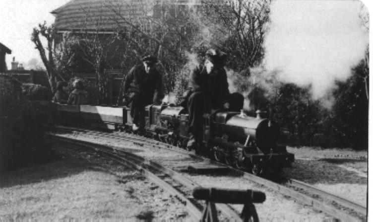
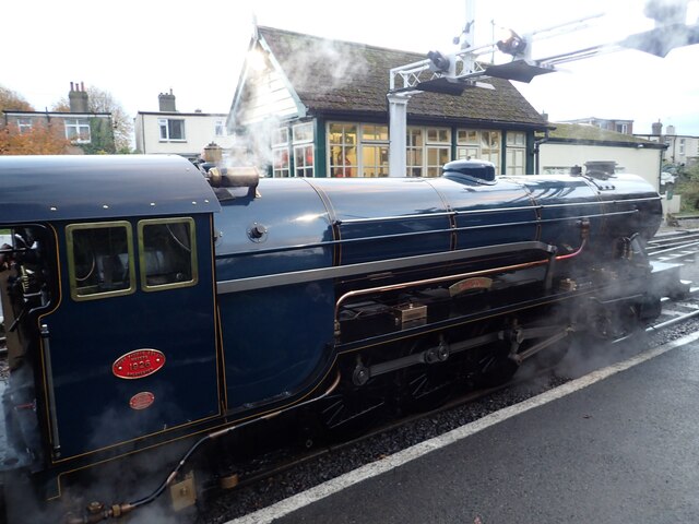
Saltwood Miniature Railway
Saltwood Miniature Railway was a 7+1⁄4 in (184 mm) gauge miniature railway which first opened in Sheffield, but subsequently relocated to Saltwood in Kent...

Folkestone and Hythe (UK Parliament constituency)
Folkestone and Hythe () is a constituency in Kent represented in the House of Commons of the UK Parliament since 2010 by Damian Collins, a Conservative...

Operation Stack
Operation Stack was a procedure used by Kent Police and the Port of Dover in England to park (or "stack") lorries on the M20 motorway in Kent when services...
Nearby Amenities
Located within 500m of 51.088403,1.07104Have you been to Heane Wood?
Leave your review of Heane Wood below (or comments, questions and feedback).