Stockfield Wood

Wood, Forest in Kent Canterbury

England

Stockfield Wood

A house in White Hill Close A short road of 16 houses in the tiny village of Lower Hardres.
A house in White Hill Close Credit: Adrian Beaumont

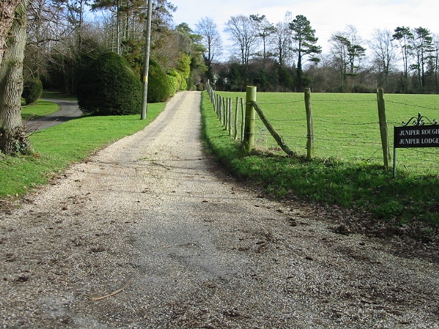
Stockfield Wood is a beautiful woodland area located in the county of Kent, England. Covering an area of approximately 100 hectares, it is situated near the town of Maidstone and is easily accessible from the nearby villages of Aylesford and Ditton. The wood is part of the wider Stockfield Farm complex and is managed by the Forestry Commission.

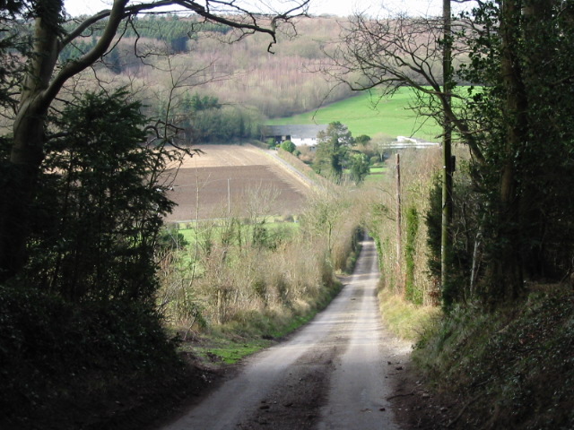
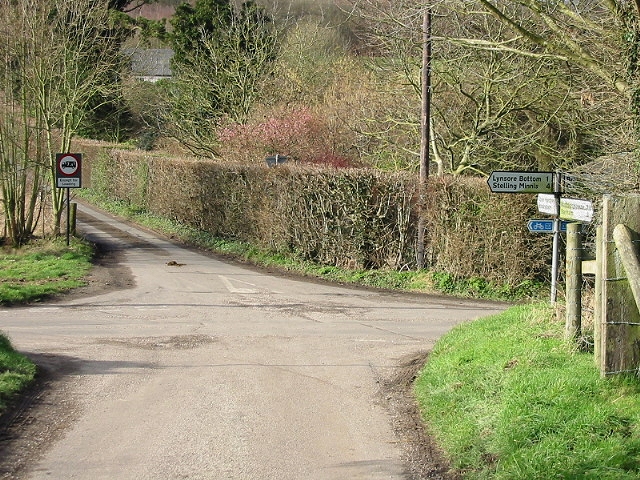
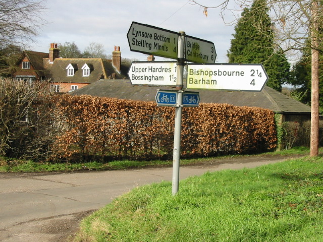
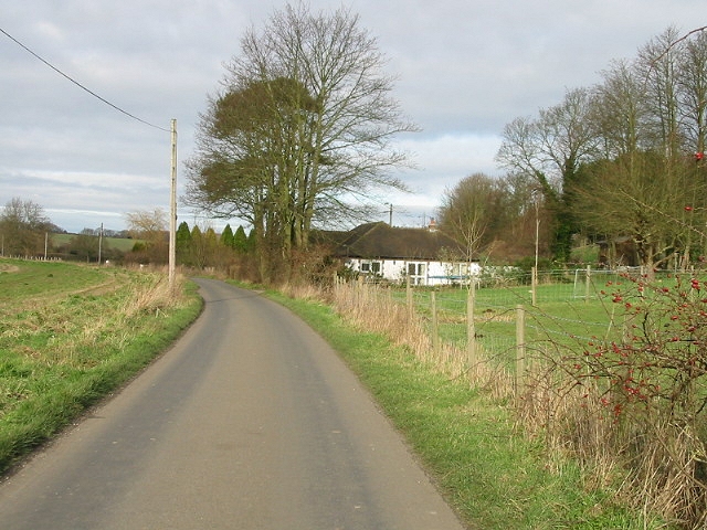
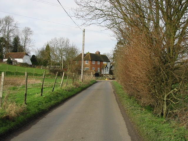
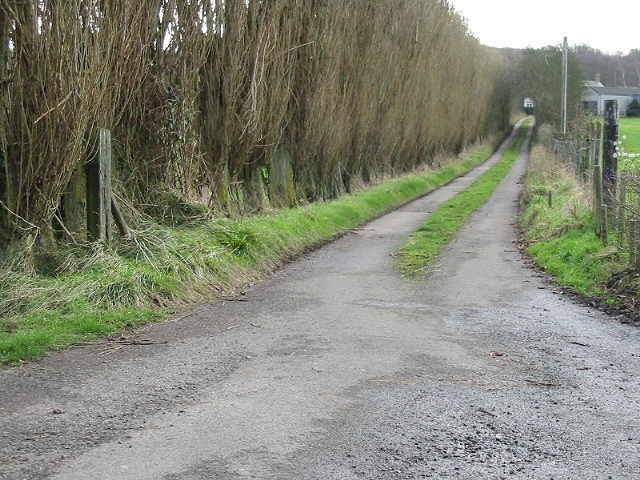
Stockfield Wood is characterized by a diverse range of tree species, including oak, beech, ash, and birch. These trees create a dense canopy that provides a habitat for a variety of wildlife, including birds, mammals, and insects. The wood also features a network of well-maintained footpaths, making it a popular destination for walkers, hikers, and nature enthusiasts.

Aside from its natural beauty, Stockfield Wood also has historical significance. It is believed to have been part of the ancient woodland that covered much of the area during the medieval period. There are remnants of old boundary ditches and earthworks that indicate previous land use and management practices.

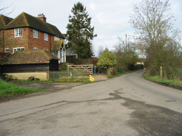
The wood is open to the public throughout the year, offering a peaceful and tranquil environment for visitors to enjoy. It is a fantastic place to explore, with its winding paths, hidden clearings, and breathtaking views. Whether it's a leisurely stroll, a family picnic, or birdwatching, Stockfield Wood has something to offer for everyone who appreciates the beauty of nature.

If you have any feedback on the listing, please let us know in the comments section below.

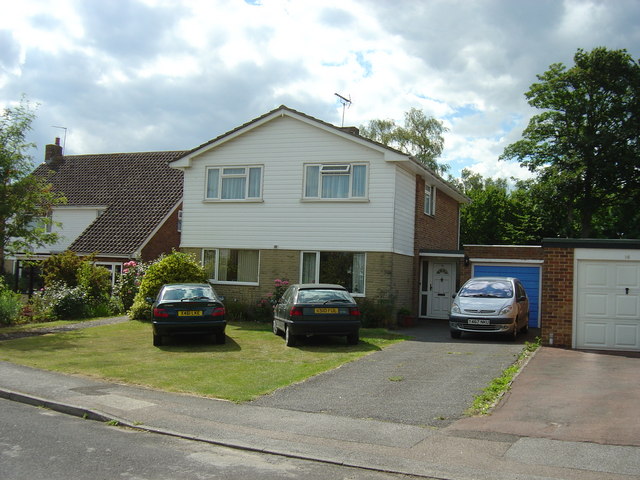
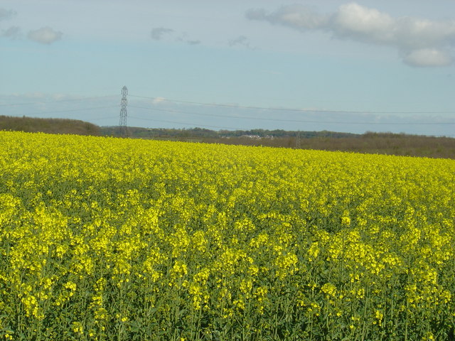
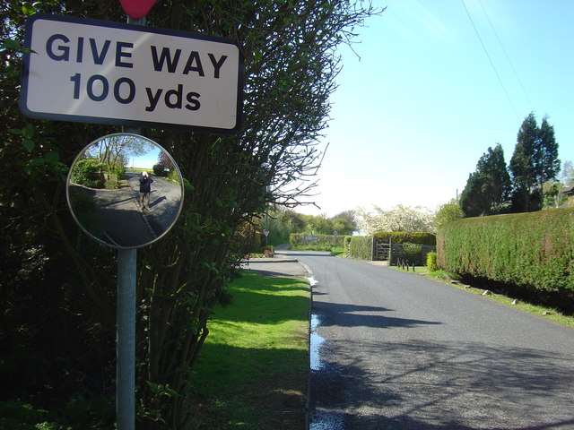
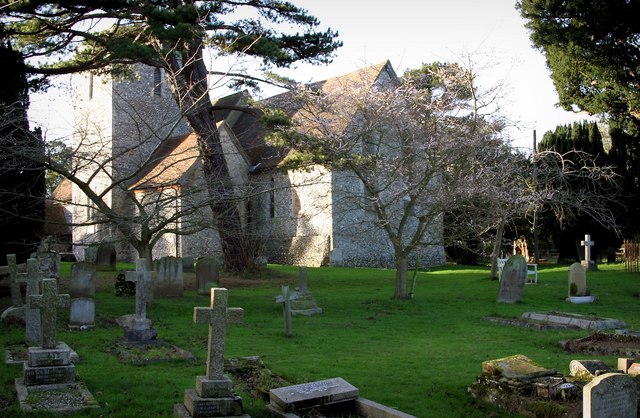
Stockfield Wood Images

Images are sourced within 2km of 51.229824/1.0807525 or Grid Reference TR1552. Thanks to Geograph Open Source API. All images are credited.

A house in White Hill Close A short road of 16 houses in the tiny village of Lower Hardres.
A house in White Hill Close
A short road of 16 houses in the tiny village of Lower Hardres.
A field of oil seed rape. Near the corner of the grid square, looking east towards the village of Bridge.   The crop is ripening and starting to emit its pungent smell.   Most of this square is farmland.
A field of oil seed rape.
Near the corner of the grid square, looking east towards the village of Bridge. The crop is ripening and starting to emit its pungent smell. Most of this square is farmland.
Bridge Road, looking towards the junction with the B2068. Taken just a short distance from the viewpoint of the photo of the field of oil seed rape. Can you see me?
Bridge Road, looking towards the junction with the B2068.
Taken just a short distance from the viewpoint of the photo of the field of oil seed rape. Can you see me?
Church at Upper Hardres Court St. Peter & St. Paul church is a typical Kent flint church which in this case, is set on a very sharp corner in the road in rather a delightful setting.  It is a lovely little Church with its square tower unusually offset from the main nave.
Church at Upper Hardres Court
St. Peter & St. Paul church is a typical Kent flint church which in this case, is set on a very sharp corner in the road in rather a delightful setting. It is a lovely little Church with its square tower unusually offset from the main nave.
Looking W towards Pett Bottom from Woodgate.
Junction of Bursted Hill, Woodgate and Pett Bottom roads.
Bursted Manor and finger post at Pett Bottom.
View looking N along Pett Bottom.
Private road leading to Juniper Rough and Lodge
Peaceful Retreat Farm at junction of Broxhall and Pett Bottom roads.
Peaceful Retreat Farm, Pett Bottom.
The Duck Inn, Pett Bottom.
Detail on the Blue Plaque, Duck Inn.
Footpath (marked by white sticks) across field, Pett Bottom.
Little Eaton Farm, Pett Bottom.
Pett Farm.
Pett Farm.
Farm road to Little Pett Farm.
The Granville on the Stone Street
Show me another place!

Stockfield Wood is located at Grid Ref: TR1552 (Lat: 51.229824, Lng: 1.0807525)

Administrative County: Kent

District: Canterbury

Police Authority: Kent

What 3 Words

///ringside.annoys.irrigated. Near Bridge, Kent

Related Wikis

Lower Hardres

Lower Hardres is a village and former civil parish, now in the parish of Lower Hardres and Nackington, in the City of Canterbury district of Kent, England...

Pett Bottom (Canterbury)

Pett Bottom is a small settlement about five miles (8 km) south of Canterbury, Kent, England. The nearest village is Lower Hardres. It is in the civil...

Upper Hardres

Upper Hardres is a village and civil parish in the City of Canterbury, in the district of Kent, England. The name of the Hardres family is perpetuated...

Nackington

Nackington is an English village and former civil parish, now in the parish of Lower Hardres and Nackington, south of Canterbury in the Canterbury district...

Petham

Petham is a rural village and civil parish in the North Downs, five miles south of Canterbury in Kent, South East England. The village church is All Saints...

Bridge railway station

Bridge was a station on the Elham Valley Railway in the county of Kent, England. It opened in 1889 and closed to passengers in 1940 and freight in 1947...
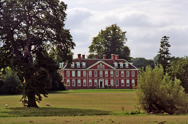
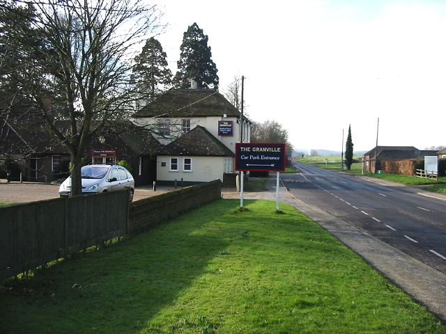
Bourne Park House

Bourne Park House is a Queen Anne style country house on Bourne Park Road, between Bishopsbourne and Bridge near Canterbury in Kent. Built in 1701, it...

Bourne Paddock

Bourne Paddock was a cricket ground at Bourne Park House, the seat of Sir Horatio Mann, at Bishopsbourne around 4 miles (6.4 km) south-east of Canterbury...

Nearby Amenities

Located within 500m of 51.229824,1.0807525
Bus Stop
Phone Box
Bus: yes
Flag: no
Naptan AtcoCode: 240099371
Naptan Bearing: S
Naptan BusStopType: CUS
Naptan CommonName: Phone Box
Naptan Indicator: opp
Naptan Landmark: Phone Box
Naptan NaptanCode: kntgwdag
Naptan Street: Hardres Court Road
Naptan Verified: no
Public Transport: platform
Source: naptan_import
Lat/Long: 51.2335955/1.0791215
Bus Stop
Phone Box
Bus: yes
Naptan AtcoCode: 2400A071850A
Naptan Bearing: N
Naptan CommonName: Phone Box
Naptan Indicator: adj
Naptan Landmark: Phone Box
Naptan NaptanCode: kntgdpmt
Naptan Street: Hardres Court Road
Naptan Verified: no
Public Transport: platform
Source: naptan_import
Lat/Long: 51.233753/1.0789457
Generator Method: photovoltaic
Generator Orientation: 180
Generator Output Electricity: yes
Generator Solar Modules: 10
Generator Source: solar
Generator Type: solar_photovoltaic_panel
Location: roof
Power: generator
Lat/Long: 51.2327346/1.079168
Generator Method: photovoltaic
Generator Orientation: 213
Generator Output Electricity: yes
Generator Source: solar
Generator Type: solar_photovoltaic_panel
Location: roof
Power: generator
Lat/Long: 51.2335945/1.0785511
The data included in this document is from www.openstreetmap.org. The data is made available under ODbL.

Have you been to Stockfield Wood?

Leave your review of Stockfield Wood below (or comments, questions and feedback).