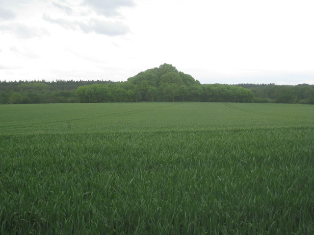
Big Plantation
Wood, Forest in Norfolk Broadland
England
Big Plantation
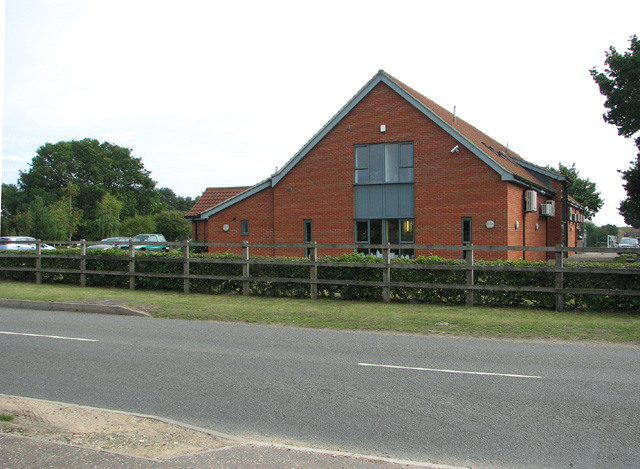
Big Plantation, Norfolk, also known as Wood or Forest, is a significant natural landscape located in the county of Norfolk, England. Spanning over a vast area, it is renowned for its rich biodiversity and stunning views, attracting nature enthusiasts and tourists alike.
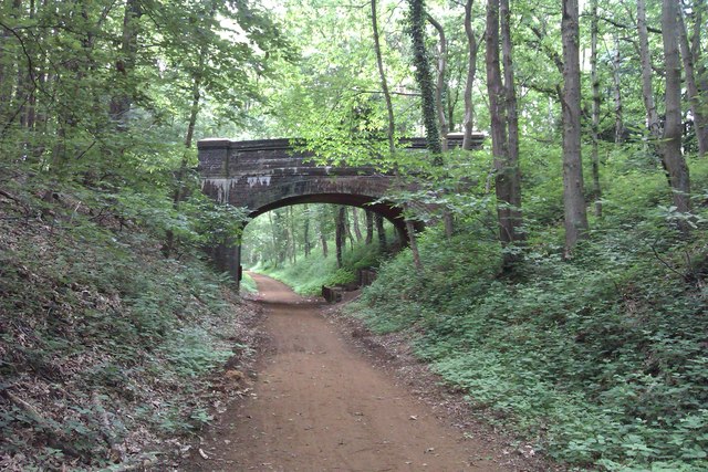
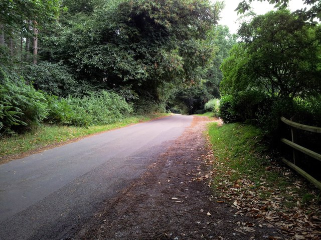
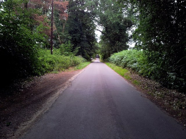
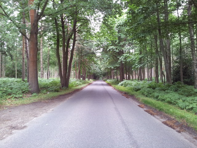
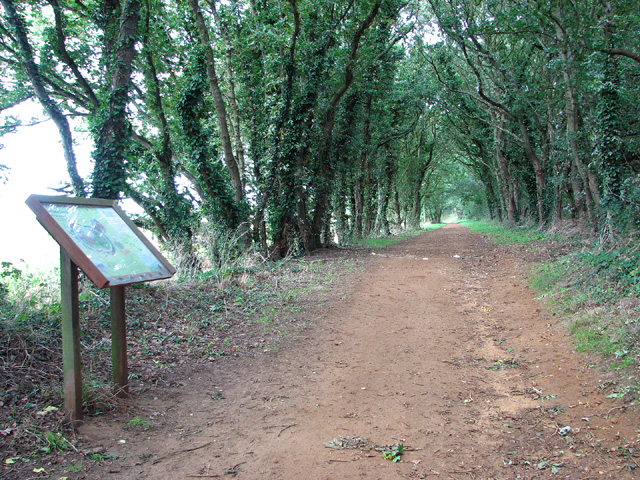
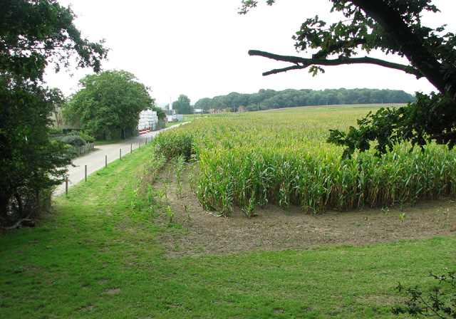
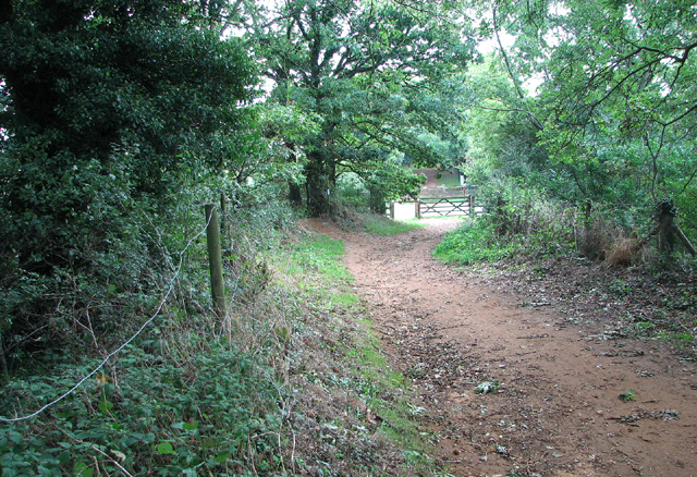
Big Plantation is characterized by its dense woodlands, which consist of a variety of tree species such as oak, beech, and pine. These trees form a canopy that provides shade and shelter to a diverse range of flora and fauna. The forest floor is adorned with a carpet of wildflowers, including bluebells and primroses, adding a touch of vibrant colors to the scenery.
The plantation is home to numerous wildlife species, both common and rare. Visitors can spot a variety of birds, including woodpeckers, owls, and various songbirds, making it a paradise for birdwatching enthusiasts. Additionally, the forest is inhabited by small mammals like foxes, rabbits, and squirrels, adding to the charm of the natural environment.
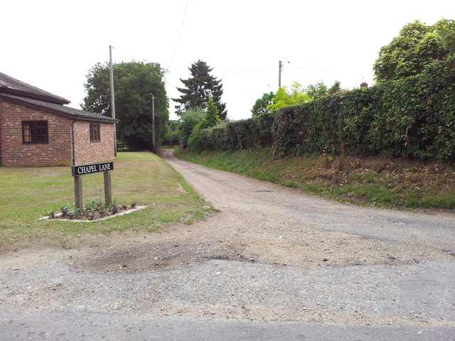
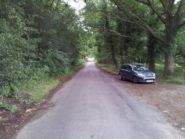
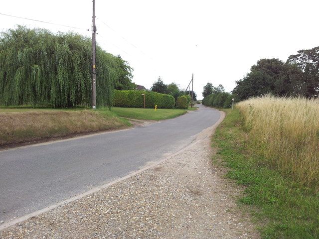
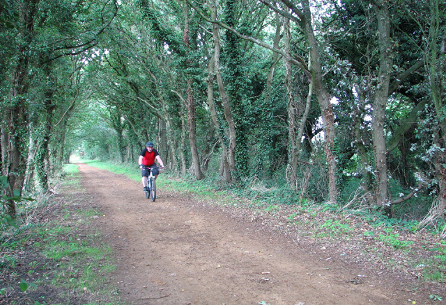
The woodland is crisscrossed by several well-maintained trails, providing opportunities for hiking, walking, and cycling. These trails offer visitors a chance to explore the plantation's hidden treasures, with occasional viewpoints offering breathtaking vistas of the surrounding countryside.
Big Plantation, Norfolk, is not only a haven for nature lovers but also plays a crucial role in the local ecosystem. As a carbon sink, it helps mitigate the effects of climate change by absorbing and storing carbon dioxide. Moreover, the forest provides essential habitats for many endangered species, contributing to their conservation efforts.
Overall, Big Plantation, Norfolk, is a captivating destination that showcases the beauty of nature while providing recreational opportunities and promoting environmental sustainability.
If you have any feedback on the listing, please let us know in the comments section below.
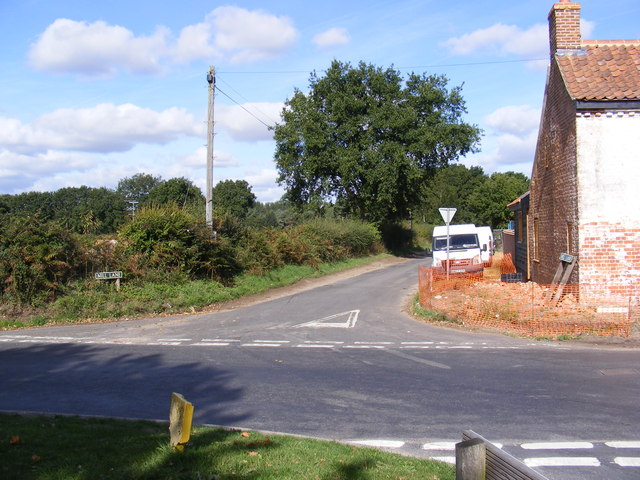
Big Plantation Images
Images are sourced within 2km of 52.708066/1.1841183 or Grid Reference TG1517. Thanks to Geograph Open Source API. All images are credited.
Big Plantation is located at Grid Ref: TG1517 (Lat: 52.708066, Lng: 1.1841183)
Administrative County: Norfolk
District: Broadland
Police Authority: Norfolk
What 3 Words
///foil.menswear.proposals. Near Horsford, Norfolk
Related Wikis

1966 Felthorpe Trident crash
On 3 June 1966, a newly built Hawker Siddeley Trident jetliner crashed during a pre-delivery test flight near the village of Felthorpe, Norfolk, England...

Swannington Upgate Common
Swannington Upgate Common is a 20.5-hectare (51-acre) biological Site of Special Scientific Interest north-west of Norwich in Norfolk.This site has varied...

Broadland (UK Parliament constituency)
Broadland is a Norfolk constituency, which has been represented in the House of Commons of the UK Parliament since the 2019 general election by Jerome...

Felthorpe
Felthorpe is a village and civil parish in the English county of Norfolk. The village is located 11 miles (18 km) east of Dereham and 7.1 miles (11.4 km...

Attlebridge railway station
Attlebridge railway station is a closed station in Norfolk, England. It served the small village of Attlebridge. It was constructed by the Midland and...

Attlebridge
Attlebridge is a village and civil parish in the English county of Norfolk. It is situated about 8 miles (13 km) north-west of Norwich, where the A1067...

Taverham High School
Taverham High School is a secondary school and sixth form with academy status, located in Taverham in the English county of Norfolk. As well as serving...

Alderford Common
Alderford Common is a 17.5-hectare (43-acre) biological Site of Special Scientific Interest north-west of Norwich in Norfolk.The common has a thin layer...
Nearby Amenities
Located within 500m of 52.708066,1.1841183Have you been to Big Plantation?
Leave your review of Big Plantation below (or comments, questions and feedback).