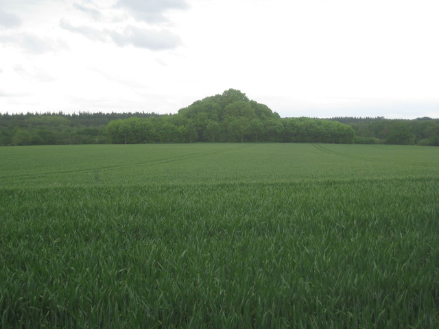
Steward's Plantation
Wood, Forest in Norfolk Broadland
England
Steward's Plantation
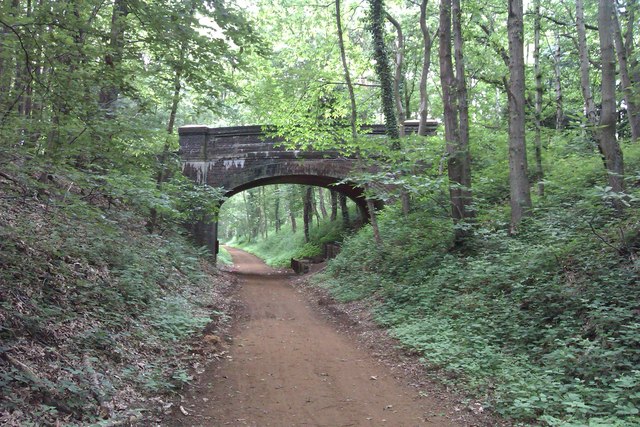
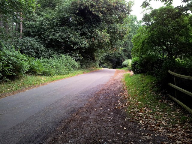
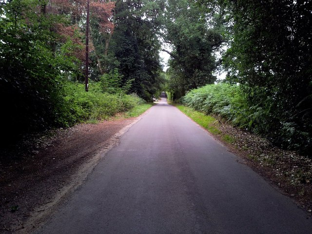
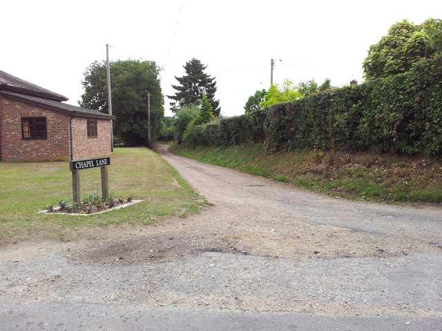
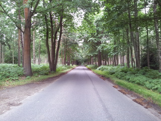
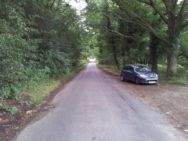
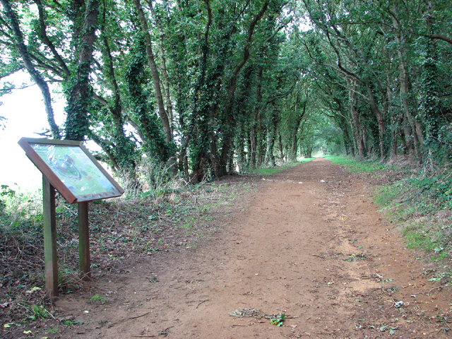
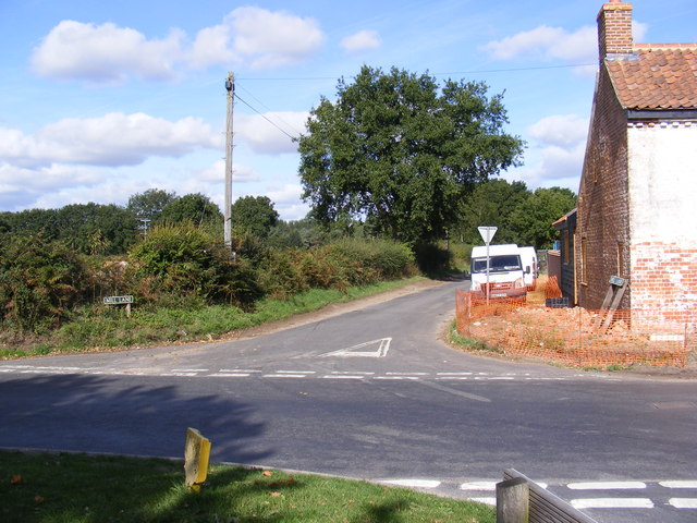
Steward's Plantation, located in Norfolk, is a thriving woodland area encompassing vast acres of lush greenery. This picturesque plantation is renowned for its dense forest, comprising a diverse array of trees and vegetation, making it a haven for nature enthusiasts and wildlife alike.
The plantation boasts a rich history that dates back to the early 19th century when it was originally established as a timber-producing estate. Over the years, it has been carefully preserved and nurtured, maintaining its natural beauty and ecological significance. Steward's Plantation is a testament to sustainable land management practices, ensuring the preservation of the ecosystem while allowing for responsible human interaction.
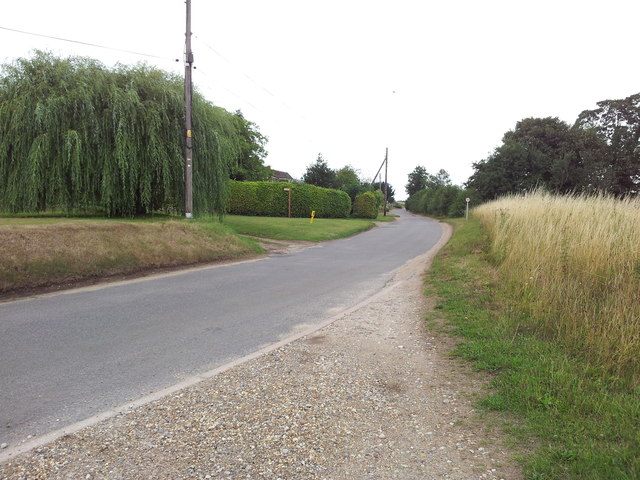
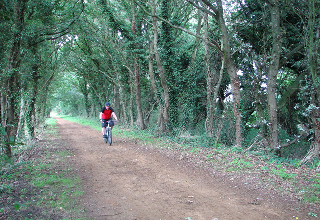
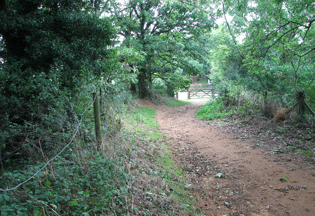
Visitors to Steward's Plantation can enjoy a plethora of activities amidst the serene surroundings. The plantation offers numerous trails, allowing hikers and walkers to explore the stunning forest at their own pace. The trails are well-maintained and offer breathtaking views of the woodland, with occasional glimpses of native wildlife such as deer, rabbits, and a variety of bird species.
For those seeking a more immersive experience, Steward's Plantation also offers guided tours led by knowledgeable experts, providing visitors with insights into the history, flora, and fauna of the area. These tours often delve into the plantation's role in the local economy and its significance in the region's cultural heritage.
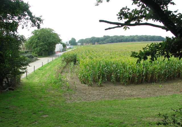
In addition to its recreational appeal, Steward's Plantation serves as an important ecological sanctuary. It provides a habitat for a diverse range of plant and animal species, contributing to the region's biodiversity. The careful management of the plantation ensures that the delicate balance of the ecosystem is maintained, making it a valuable resource for research and conservation efforts.
Overall, Steward's Plantation in Norfolk is a remarkable woodland area that offers a harmonious blend of natural beauty, recreational opportunities, and environmental preservation. Its historical significance, coupled with its ecological importance, makes it a must-visit destination for nature enthusiasts and those seeking solace in the embrace of nature.
If you have any feedback on the listing, please let us know in the comments section below.
Steward's Plantation Images
Images are sourced within 2km of 52.708661/1.1887223 or Grid Reference TG1517. Thanks to Geograph Open Source API. All images are credited.

Steward's Plantation is located at Grid Ref: TG1517 (Lat: 52.708661, Lng: 1.1887223)
Administrative County: Norfolk
District: Broadland
Police Authority: Norfolk
What 3 Words
///obliging.dragons.strict. Near Horsford, Norfolk
Related Wikis

1966 Felthorpe Trident crash
On 3 June 1966, a newly built Hawker Siddeley Trident jetliner crashed during a pre-delivery test flight near the village of Felthorpe, Norfolk, England...

Swannington Upgate Common
Swannington Upgate Common is a 20.5-hectare (51-acre) biological Site of Special Scientific Interest north-west of Norwich in Norfolk.This site has varied...

Felthorpe
Felthorpe is a village and civil parish in the English county of Norfolk. The village is located 11 miles (18 km) east of Dereham and 7.1 miles (11.4 km...

Broadland (UK Parliament constituency)
Broadland is a Norfolk constituency, which has been represented in the House of Commons of the UK Parliament since the 2019 general election by Jerome...

Taverham High School
Taverham High School is a secondary school and sixth form with academy status, located in Taverham in the English county of Norfolk. As well as serving...

Attlebridge railway station
Attlebridge railway station is a closed station in Norfolk, England. It served the small village of Attlebridge. It was constructed by the Midland and...

Attlebridge
Attlebridge is a village and civil parish in the English county of Norfolk. It is situated about 8 miles (13 km) north-west of Norwich, where the A1067...

Alderford Common
Alderford Common is a 17.5-hectare (43-acre) biological Site of Special Scientific Interest north-west of Norwich in Norfolk.The common has a thin layer...
Nearby Amenities
Located within 500m of 52.708661,1.1887223Have you been to Steward's Plantation?
Leave your review of Steward's Plantation below (or comments, questions and feedback).