Lower Hardres
Settlement in Kent Canterbury
England
Lower Hardres
Lower Hardres is a small village located in the county of Kent, in southeastern England. Situated approximately 4 miles southwest of the historic city of Canterbury, Lower Hardres is nestled in the picturesque Kent Downs Area of Outstanding Natural Beauty.
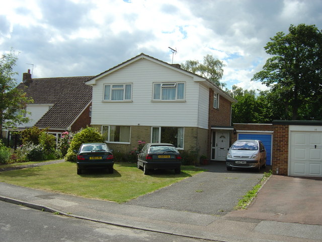
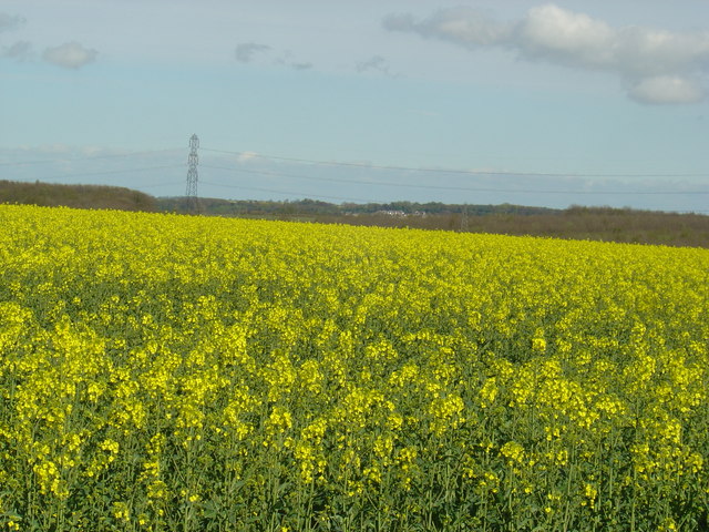
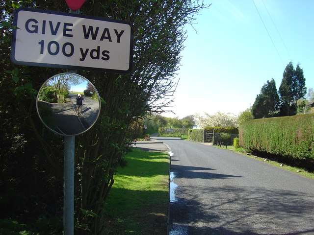
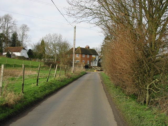
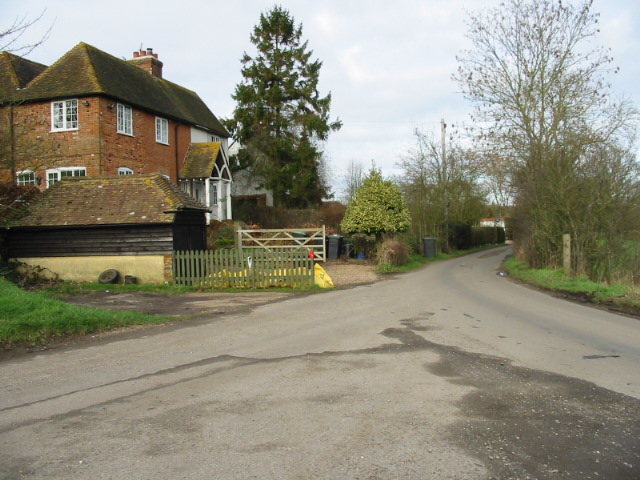
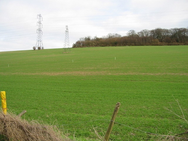
The village is characterized by its charming rural setting, with rolling hills, meadows, and farmland surrounding the area. It is primarily a residential community, consisting of a tight-knit population of around 600 residents.
Lower Hardres boasts a rich history, dating back to the Roman era, with evidence of Roman settlements found in the vicinity. The village also played a role in World War II, as it was home to an airfield used by the Royal Air Force.
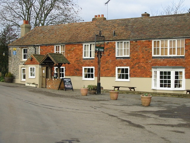
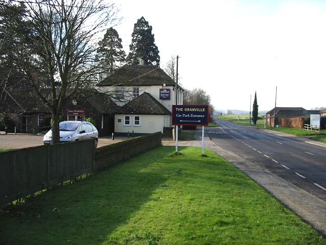
Today, Lower Hardres offers a peaceful and idyllic lifestyle, away from the hustle and bustle of city life. It has a strong sense of community, with a local pub, The Granville Arms, serving as a social hub for residents.
The surrounding countryside provides ample opportunities for outdoor activities, such as hiking, cycling, and horse riding. The nearby Blean Woods, one of the largest areas of ancient woodland in England, offers a haven for nature lovers and wildlife enthusiasts.
Despite its rural setting, Lower Hardres benefits from its close proximity to Canterbury, which provides access to a wide range of amenities, including shops, restaurants, schools, and healthcare facilities. The village is also well-connected by road, with easy access to the A2 and M2 motorways.
If you have any feedback on the listing, please let us know in the comments section below.
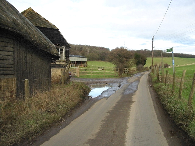
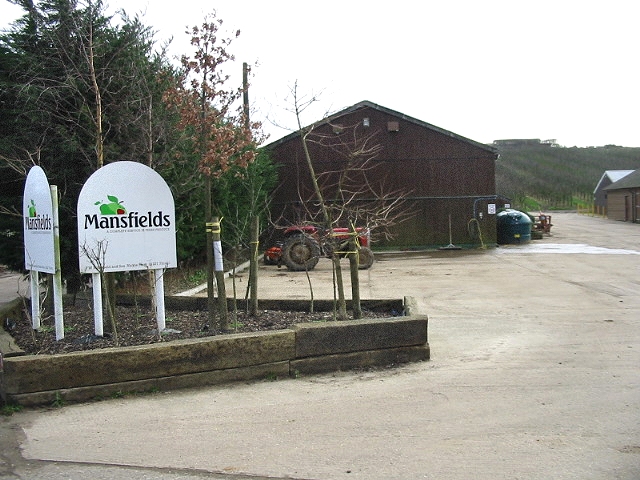
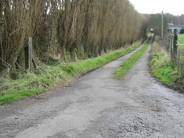
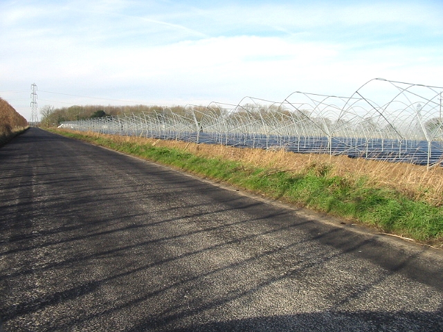
Lower Hardres Images
Images are sourced within 2km of 51.235276/1.079744 or Grid Reference TR1552. Thanks to Geograph Open Source API. All images are credited.


Lower Hardres is located at Grid Ref: TR1552 (Lat: 51.235276, Lng: 1.079744)
Administrative County: Kent
District: Canterbury
Police Authority: Kent
What 3 Words
///topical.sweetened.juggles. Near Bridge, Kent
Nearby Locations
Related Wikis

Lower Hardres
Lower Hardres is a village and former civil parish, now in the parish of Lower Hardres and Nackington, in the City of Canterbury district of Kent, England...

Pett Bottom (Canterbury)
Pett Bottom is a small settlement about five miles (8 km) south of Canterbury, Kent, England. The nearest village is Lower Hardres. It is in the civil...

Nackington
Nackington is an English village and former civil parish, now in the parish of Lower Hardres and Nackington, south of Canterbury in the Canterbury district...

Upper Hardres
Upper Hardres is a village and civil parish in the City of Canterbury, in the district of Kent, England. The name of the Hardres family is perpetuated...

Bridge railway station
Bridge was a station on the Elham Valley Railway in the county of Kent, England. It opened in 1889 and closed to passengers in 1940 and freight in 1947...

Petham
Petham is a rural village and civil parish in the North Downs, five miles south of Canterbury in Kent, South East England. The village church is All Saints...

Simon Langton Grammar School for Boys
Simon Langton Grammar School for Boys (also known as The Langton Grammar School for Boys and simply referred to as The Langton) is an 11–18 foundation...
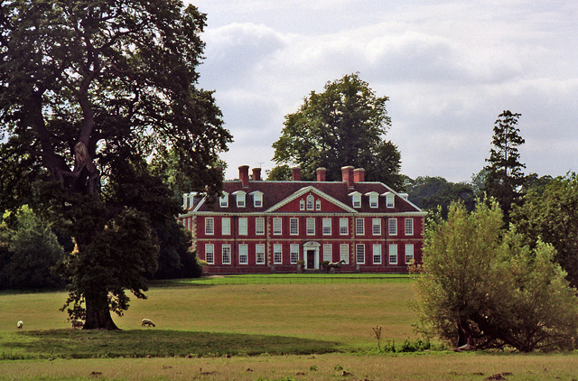
Bourne Park House
Bourne Park House is a Queen Anne style country house on Bourne Park Road, between Bishopsbourne and Bridge near Canterbury in Kent. Built in 1701, it...
Nearby Amenities
Located within 500m of 51.235276,1.079744Have you been to Lower Hardres?
Leave your review of Lower Hardres below (or comments, questions and feedback).