Highlands Shaw
Wood, Forest in Kent Gravesham
England
Highlands Shaw
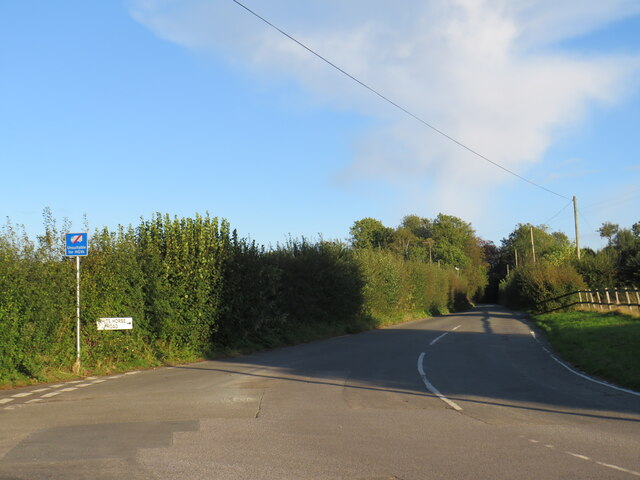
Highlands Shaw is a picturesque woodland area located in the county of Kent, England. Situated within the larger region known as the Kent Downs Area of Outstanding Natural Beauty, Highlands Shaw is a serene and tranquil destination for nature enthusiasts and outdoor lovers.
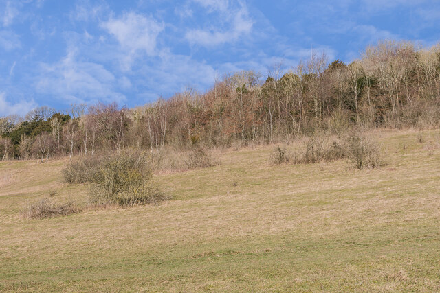
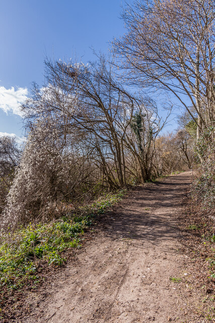
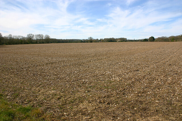
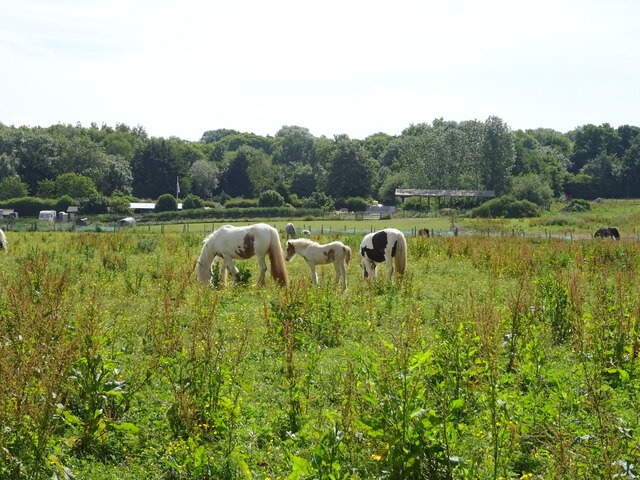
Covering an area of approximately 500 acres, the wood is characterized by its dense forestation, comprising a mixture of broadleaf and coniferous trees. The rich variety of flora and fauna found here makes it a haven for wildlife, including numerous bird species, mammals, and insects.
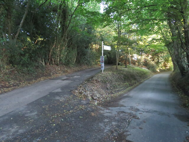
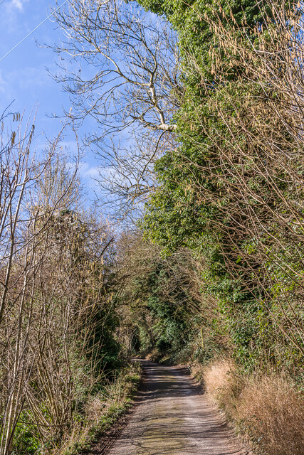
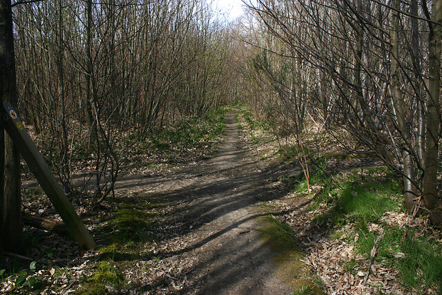
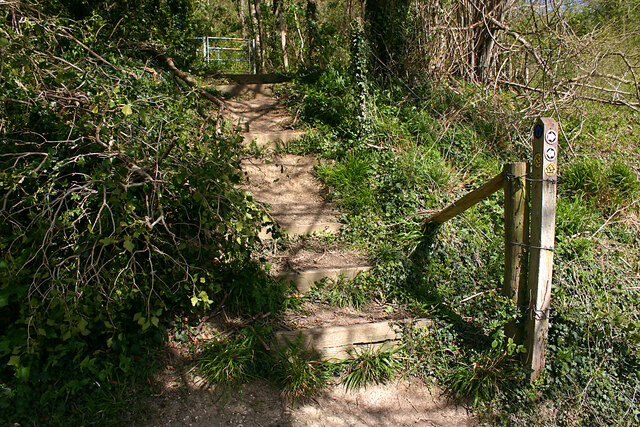
The woodlands of Highlands Shaw offer a range of walking trails and paths, allowing visitors to explore its natural beauty at their own pace. These trails cater to all levels of fitness and offer stunning views of the surrounding countryside. The woodlands are especially popular during the spring and summer months when the forest floor is carpeted with bluebells and other wildflowers.
The area is managed and maintained by the local authorities, ensuring that it remains a protected and well-preserved natural habitat. The woodlands also serve as an important educational resource, with guided nature walks and workshops organized throughout the year to raise awareness about the local ecology and conservation efforts.
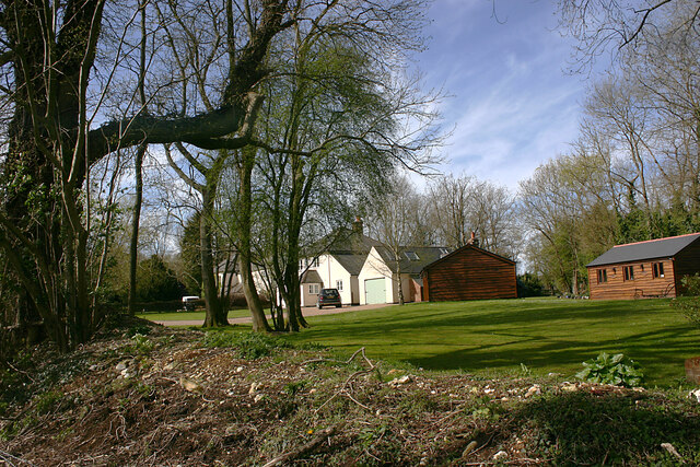
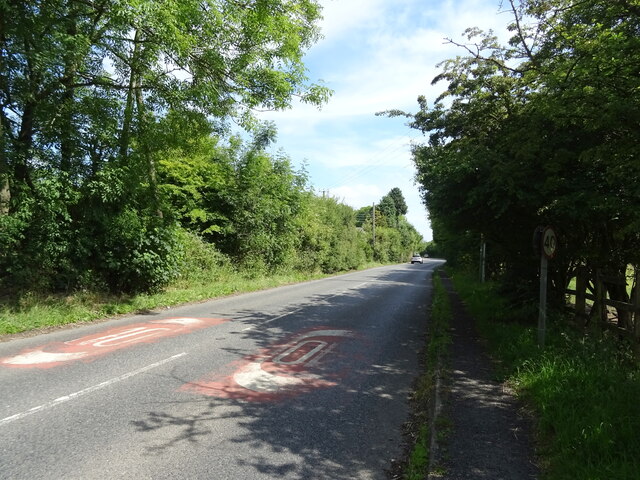
In addition to its natural beauty, Highlands Shaw is conveniently situated near several towns and villages, offering visitors a range of amenities, including accommodation, dining options, and shops. The woodlands are easily accessible by both private and public transportation, making it a popular destination for day trips and weekend getaways.
Overall, Highlands Shaw in Kent is a stunning woodland area that offers visitors a peaceful retreat to immerse themselves in nature and enjoy the diverse wildlife and beautiful surroundings.
If you have any feedback on the listing, please let us know in the comments section below.
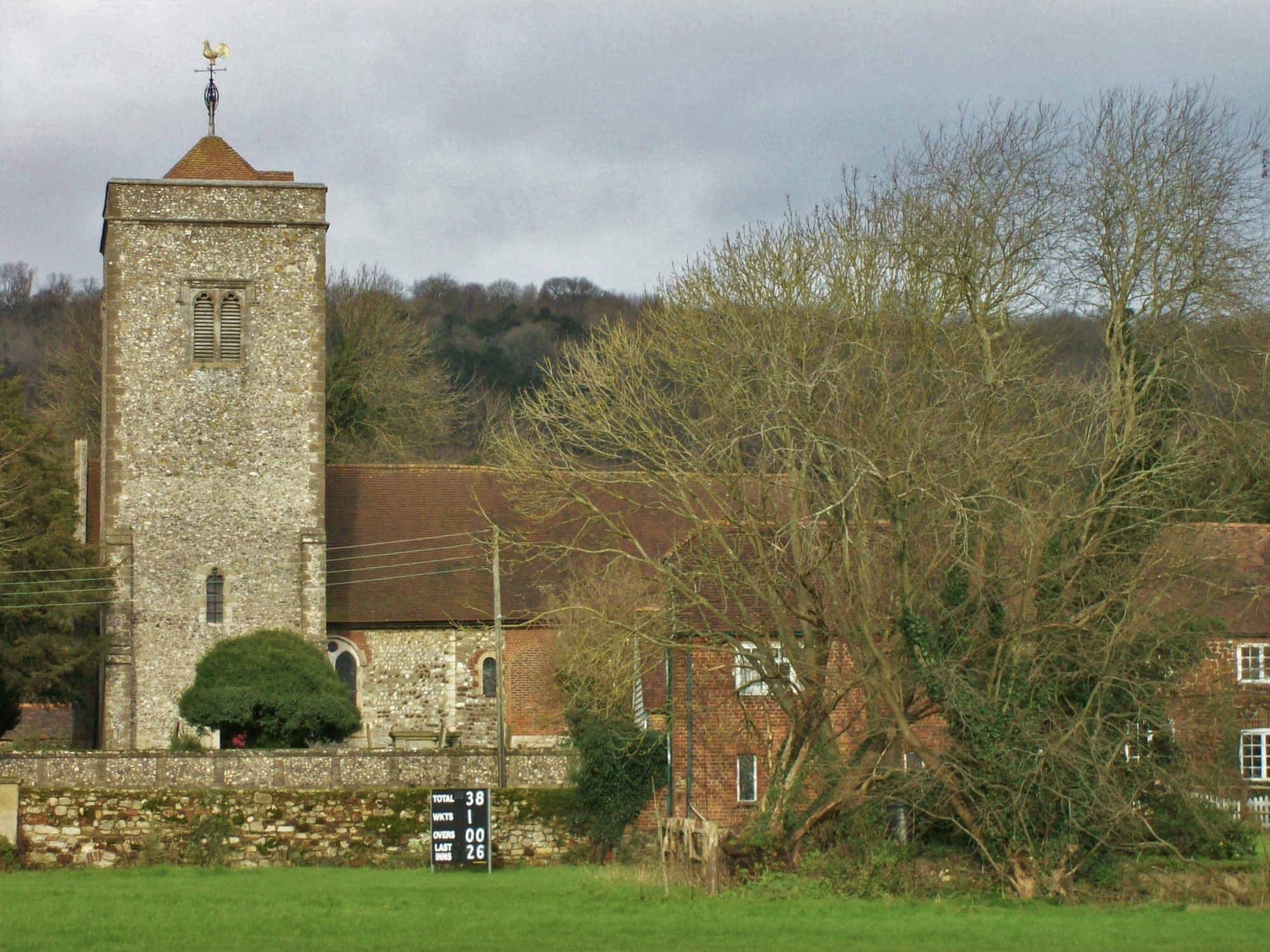
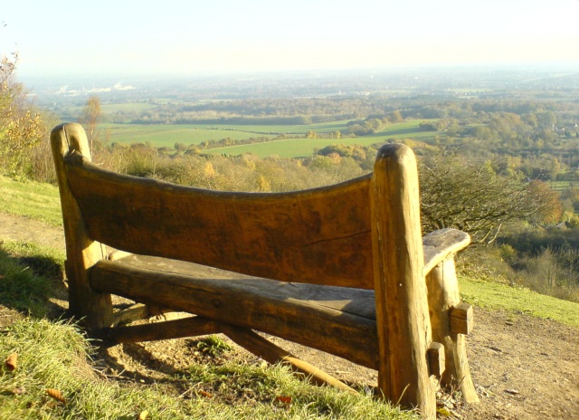
Highlands Shaw Images
Images are sourced within 2km of 51.340223/0.36144374 or Grid Reference TQ6462. Thanks to Geograph Open Source API. All images are credited.
Highlands Shaw is located at Grid Ref: TQ6462 (Lat: 51.340223, Lng: 0.36144374)
Administrative County: Kent
District: Gravesham
Police Authority: Kent
What 3 Words
///feeds.gums.boss. Near Culverstone Green, Kent
Nearby Locations
Related Wikis
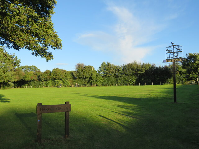
Harvel
Harvel is a village in the civil parish of Meopham in the west of the county of Kent, England. It is sited on the southern edge of the North Downs. The...

Vigo Village
Vigo Village is a village and (as simply Vigo) a civil parish in the Gravesham district in Kent, England. It takes its name from a 15th-century public...

Trosley Country Park
Trosley Country Park is in Trottiscliffe, near Vigo, in Kent, England. Once part of a large woodland estate then after many changes, it was passed to Kent...

Meopham air disaster
The Meopham Air Disaster occurred on 21 July 1930 when a Junkers F.13ge flying from Le Touquet to Croydon with two crew and four passengers crashed near...
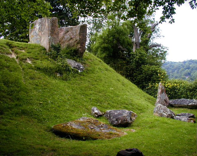
Coldrum Long Barrow
The Coldrum Long Barrow, also known as the Coldrum Stones and the Adscombe Stones, is a chambered long barrow located near the village of Trottiscliffe...
Church of St Peter and St Paul, Trottiscliffe
The Church of St Peter and St Paul is an active Anglican parish church in Church Lane, Trottiscliffe, in the Borough of Tonbridge and Malling, Kent, England...
Trottiscliffe
Trottiscliffe ( TROZ-lee) is a village in Kent, England about 2.5 miles (4 km) north west of West Malling. It is often incorrectly spelled Trosley after...

Killick's Mill, Meopham
Killick's Mill is a Grade II* listed smock mill in Meopham, Kent, England that was built in 1801 and which has been restored. == History == Killick's...
Related Videos

Trosley Country Park Virtual tour
Take a walk through Trosley Country Park located in Vigo, Kent to explore the natural beauty and range of services it has to offer.
Trosley County Park walk
This was my final training walk before I headed off to the Scottish Highlands! I grew up near here, so it was lovely to reminisce and ...
Trosley Country Park - Vigo Village - Kent - England
A small look at what Trosley Country Park in Kent, England has to offer. There is plenty here for everyone, children, dog walkers, ...
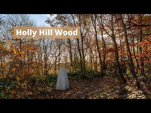
Holly Hill Wood, Birling
Holy Hill wood is just outside the village of Birling. Its a lovely spot, not a huge site but I had a glorious morning to stroll through the ...
Nearby Amenities
Located within 500m of 51.340223,0.36144374Have you been to Highlands Shaw?
Leave your review of Highlands Shaw below (or comments, questions and feedback).