Ridge Wood
Wood, Forest in Kent Gravesham
England
Ridge Wood
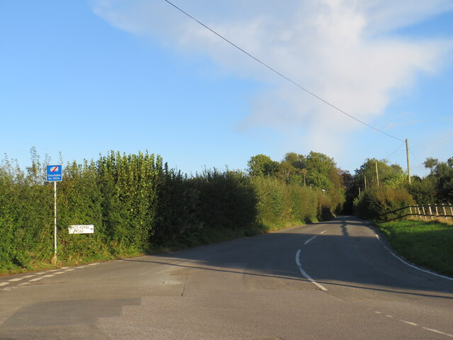
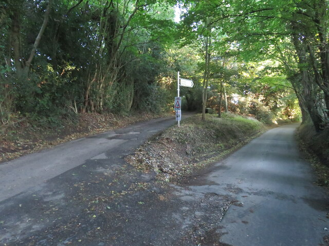
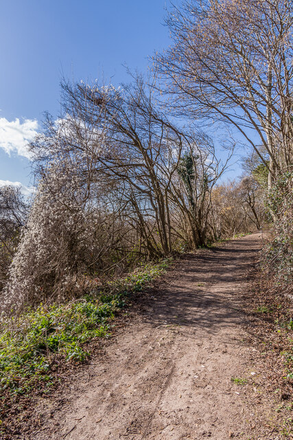
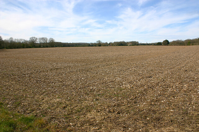
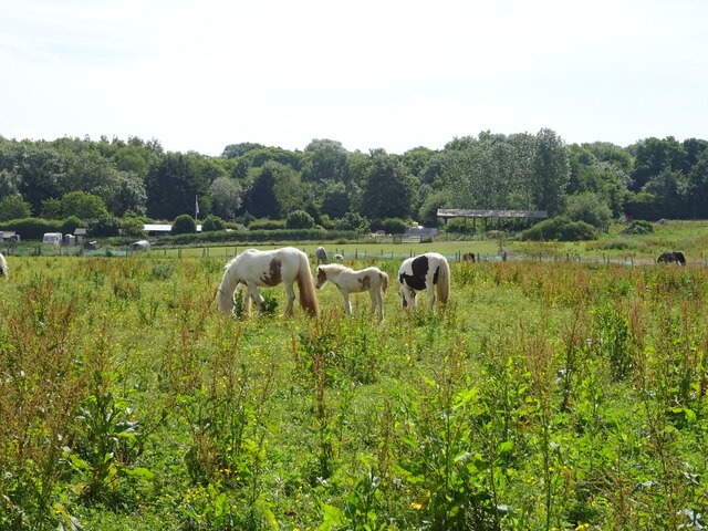
Ridge Wood, located in Kent, England, is a picturesque forest known for its natural beauty and tranquil atmosphere. Covering an area of approximately 500 acres, this wood is a haven for nature enthusiasts, hikers, and wildlife lovers alike.
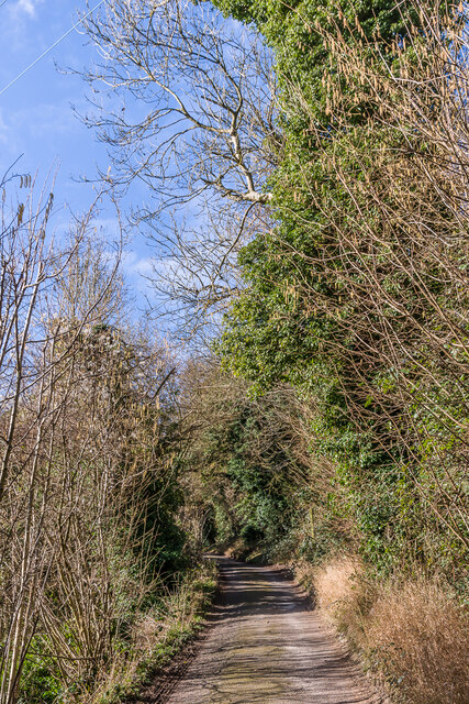
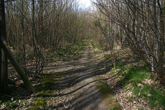
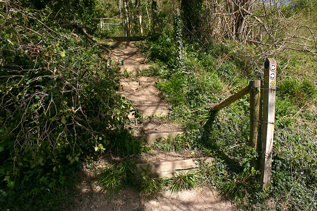
The wood is predominantly composed of oak and beech trees, with their tall, majestic trunks and dense foliage providing a stunning backdrop for visitors. As one explores the wood, they will find a variety of walking paths and trails, allowing them to fully immerse themselves in the serene surroundings.
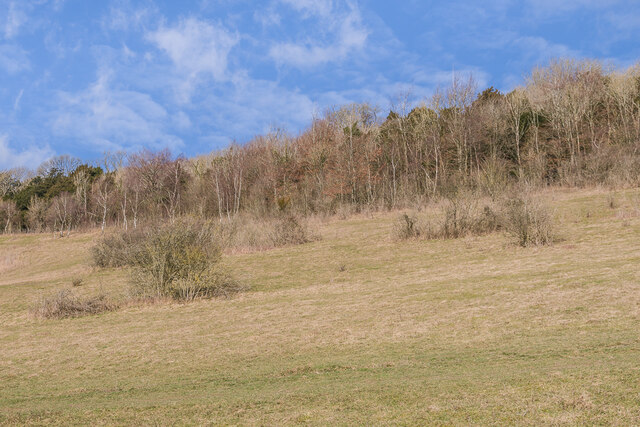
One of the main highlights of Ridge Wood is its diverse wildlife. It is home to numerous bird species, including woodpeckers, thrushes, and warblers, making it a popular spot for birdwatching enthusiasts. The forest floor is also teeming with life, with an array of wildflowers, fungi, and insects adding to the vibrant ecosystem.
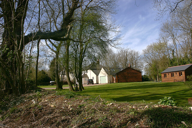
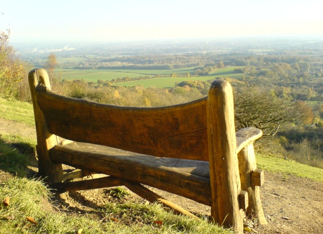
Ridge Wood is not only a haven for wildlife but also offers recreational facilities for visitors. There are designated picnic areas and benches scattered throughout the wood, providing the perfect spot for a leisurely lunch or a moment of relaxation. Additionally, the wood is equipped with well-maintained paths, making it accessible for wheelchair users and families with strollers.
The wood is open to the public throughout the year, allowing visitors to experience the changing seasons and the beauty they bring. Whether it's the vibrant colors of autumn, the fresh blossoms of spring, or the peaceful snow-covered landscape in winter, Ridge Wood offers a serene escape from the bustling city life.
If you have any feedback on the listing, please let us know in the comments section below.
Ridge Wood Images
Images are sourced within 2km of 51.340609/0.35610777 or Grid Reference TQ6462. Thanks to Geograph Open Source API. All images are credited.

Ridge Wood is located at Grid Ref: TQ6462 (Lat: 51.340609, Lng: 0.35610777)
Administrative County: Kent
District: Gravesham
Police Authority: Kent
What 3 Words
///coach.sank.tame. Near Culverstone Green, Kent
Nearby Locations
Related Wikis
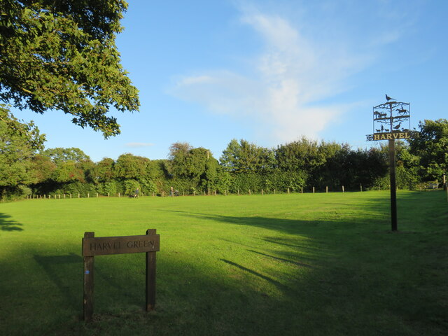
Harvel
Harvel is a village in the civil parish of Meopham in the west of the county of Kent, England. It is sited on the southern edge of the North Downs. The...

Vigo Village
Vigo Village is a village and (as simply Vigo) a civil parish in the Gravesham district in Kent, England. It takes its name from a 15th-century public...

Trosley Country Park
Trosley Country Park is in Trottiscliffe, near Vigo, in Kent, England. Once part of a large woodland estate then after many changes, it was passed to Kent...

Meopham air disaster
The Meopham Air Disaster occurred on 21 July 1930 when a Junkers F.13ge flying from Le Touquet to Croydon with two crew and four passengers crashed near...
Church of St Peter and St Paul, Trottiscliffe
The Church of St Peter and St Paul is an active Anglican parish church in Church Lane, Trottiscliffe, in the Borough of Tonbridge and Malling, Kent, England...
Trottiscliffe
Trottiscliffe ( TROZ-lee) is a village in Kent, England about 2.5 miles (4 km) north west of West Malling. It is often incorrectly spelled Trosley after...

Killick's Mill, Meopham
Killick's Mill is a Grade II* listed smock mill in Meopham, Kent, England that was built in 1801 and which has been restored. == History == Killick's...
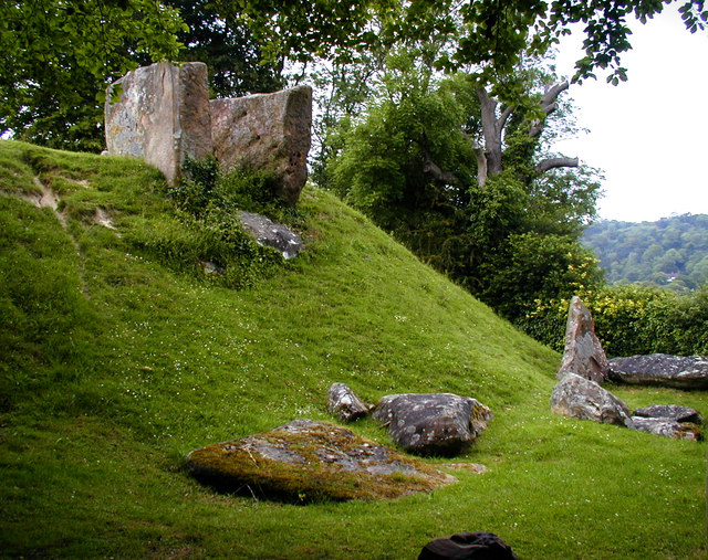
Coldrum Long Barrow
The Coldrum Long Barrow, also known as the Coldrum Stones and the Adscombe Stones, is a chambered long barrow located near the village of Trottiscliffe...
Nearby Amenities
Located within 500m of 51.340609,0.35610777Have you been to Ridge Wood?
Leave your review of Ridge Wood below (or comments, questions and feedback).