Peascod Shaw
Wood, Forest in Kent Gravesham
England
Peascod Shaw
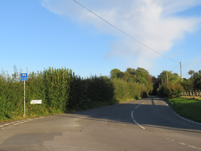
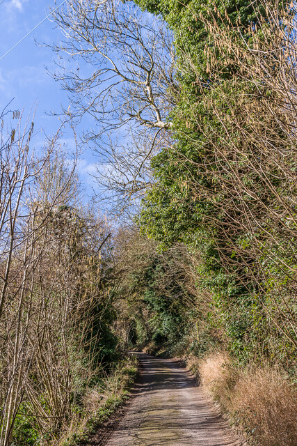
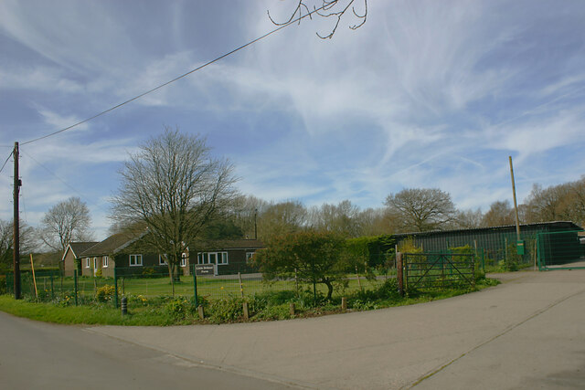
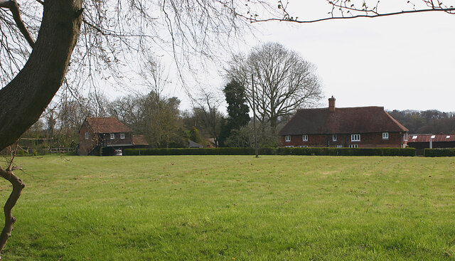
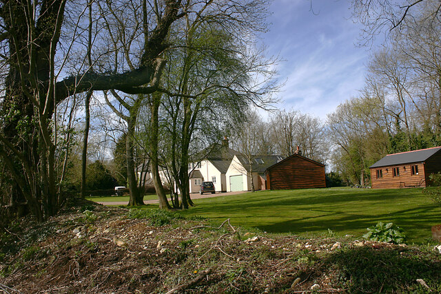
Peascod Shaw is a charming woodland located in the county of Kent, in southeastern England. Situated in the heart of the county, this peaceful forest is a popular destination for nature enthusiasts and those seeking a tranquil escape from the hustle and bustle of everyday life.
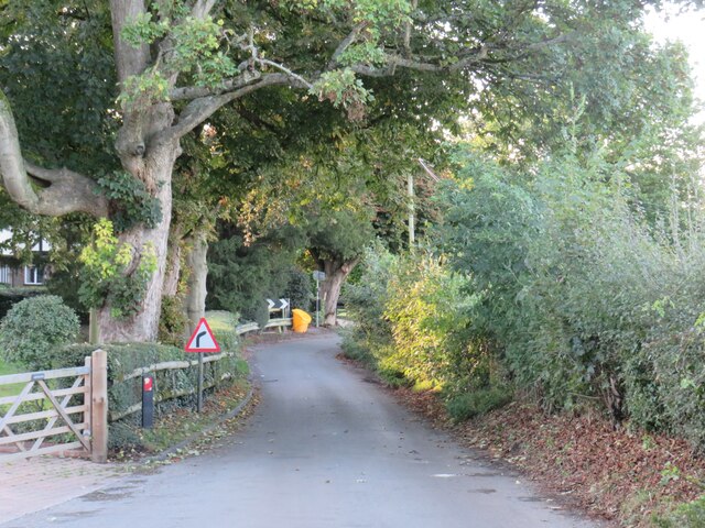
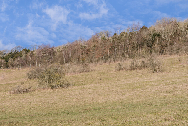
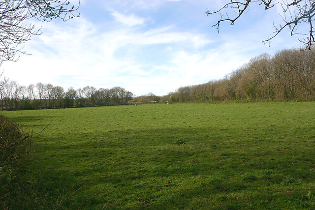
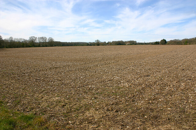
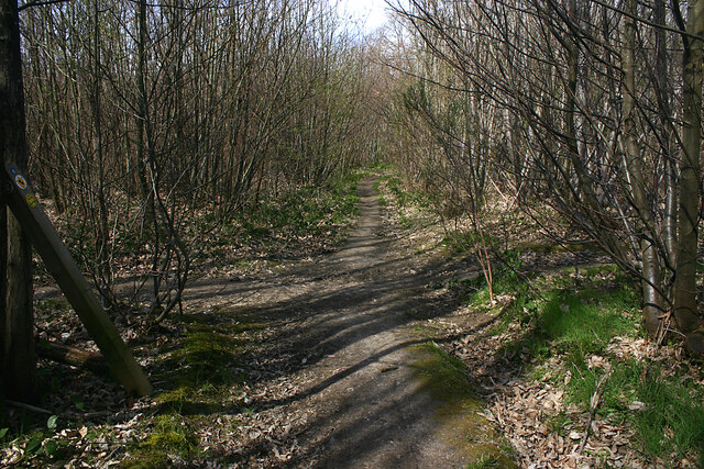
Covering an area of approximately 200 acres, Peascod Shaw is characterized by its dense canopy of towering trees, predominantly consisting of oak, beech, and ash. The forest floor is adorned with a rich tapestry of wildflowers, creating a vibrant and colorful landscape during the spring and summer months.
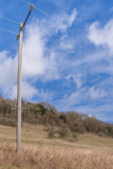
The woodland is home to a diverse range of wildlife, including various species of birds, small mammals, and insects. Visitors may catch glimpses of woodpeckers, deer, and squirrels as they explore the network of winding trails that crisscross the forest. Birdwatchers are particularly drawn to Peascod Shaw, as it provides an ideal habitat for a variety of avian species.
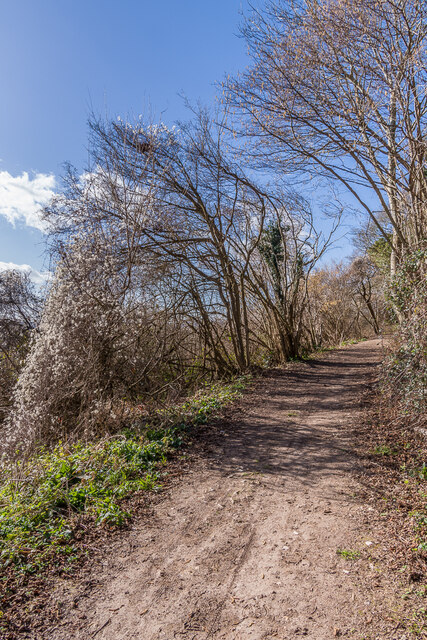
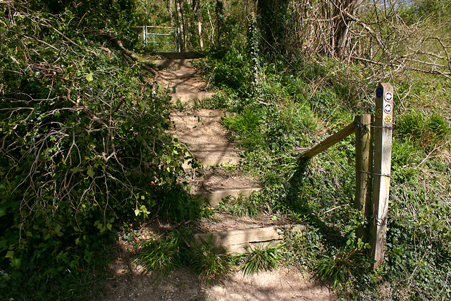
The forest is well-equipped with amenities to enhance visitors' experience. There are picnic areas and benches scattered throughout, allowing visitors to relax and enjoy a meal surrounded by the natural beauty of the woodland. Additionally, well-maintained paths and signposts ensure that visitors can navigate the forest with ease.
Peascod Shaw is open to the public year-round and is a popular destination for both locals and tourists alike. Whether one wishes to take a leisurely stroll, go for a jog, or simply immerse themselves in the serenity of nature, Peascod Shaw offers a captivating and rejuvenating experience for all who visit.
If you have any feedback on the listing, please let us know in the comments section below.
Peascod Shaw Images
Images are sourced within 2km of 51.336624/0.36108645 or Grid Reference TQ6462. Thanks to Geograph Open Source API. All images are credited.


Peascod Shaw is located at Grid Ref: TQ6462 (Lat: 51.336624, Lng: 0.36108645)
Administrative County: Kent
District: Gravesham
Police Authority: Kent
What 3 Words
///bolts.picked.start. Near Culverstone Green, Kent
Nearby Locations
Related Wikis
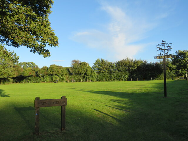
Harvel
Harvel is a village in the civil parish of Meopham in the west of the county of Kent, England. It is sited on the southern edge of the North Downs. The...

Vigo Village
Vigo Village is a village and (as simply Vigo) a civil parish in the Gravesham district in Kent, England. It takes its name from a 15th-century public...
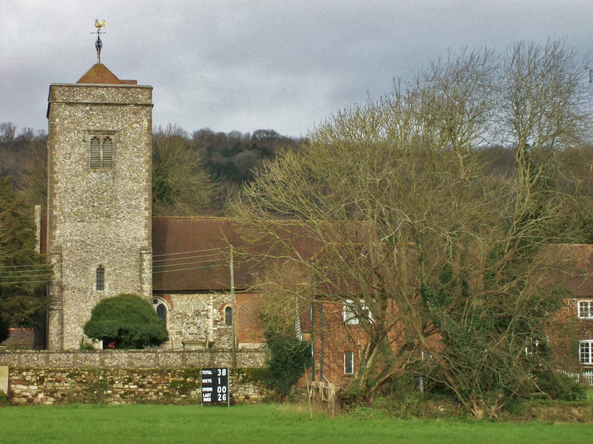
Church of St Peter and St Paul, Trottiscliffe
The Church of St Peter and St Paul is an active Anglican parish church in Church Lane, Trottiscliffe, in the Borough of Tonbridge and Malling, Kent, England...
Trottiscliffe
Trottiscliffe ( TROZ-lee) is a village in Kent, England about 2.5 miles (4 km) north west of West Malling. It is often incorrectly spelled Trosley after...

Trosley Country Park
Trosley Country Park is in Trottiscliffe, near Vigo, in Kent, England. Once part of a large woodland estate then after many changes, it was passed to Kent...
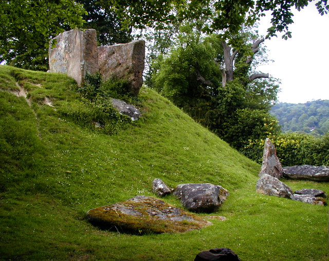
Coldrum Long Barrow
The Coldrum Long Barrow, also known as the Coldrum Stones and the Adscombe Stones, is a chambered long barrow located near the village of Trottiscliffe...

Meopham air disaster
The Meopham Air Disaster occurred on 21 July 1930 when a Junkers F.13ge flying from Le Touquet to Croydon with two crew and four passengers crashed near...
Dode, Kent
Dode (in Old English, Dowde) was a village in England that was wiped out by the Black Death in 1349. All that remains is the deconsecrated church, which...
Nearby Amenities
Located within 500m of 51.336624,0.36108645Have you been to Peascod Shaw?
Leave your review of Peascod Shaw below (or comments, questions and feedback).