Southfield Shaw
Downs, Moorland in Kent Gravesham
England
Southfield Shaw
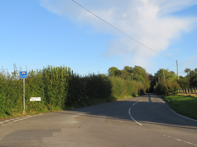
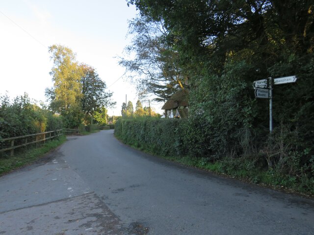
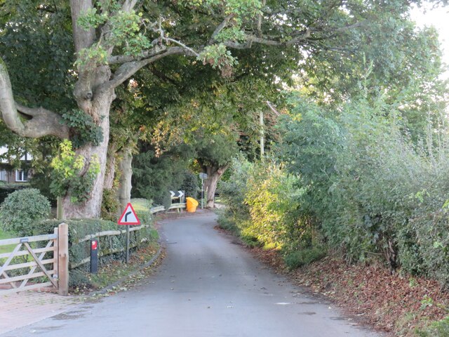
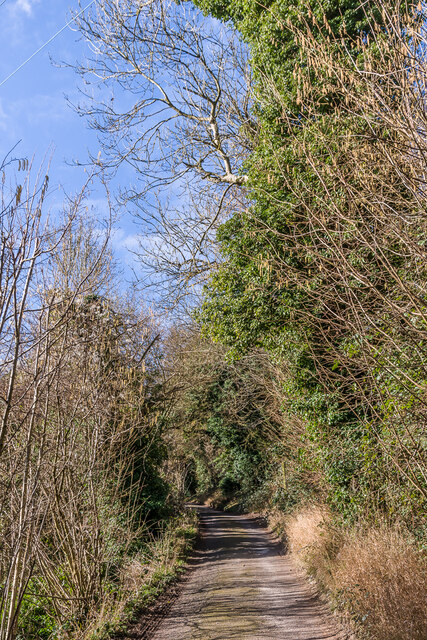
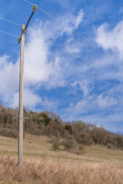
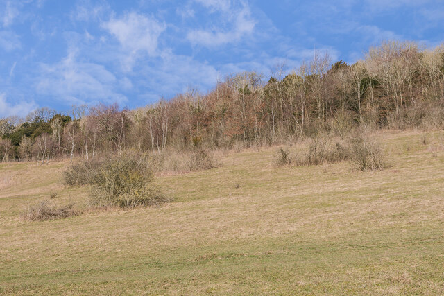
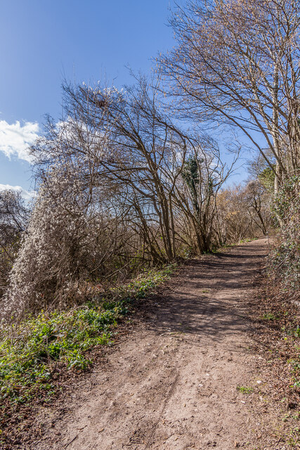
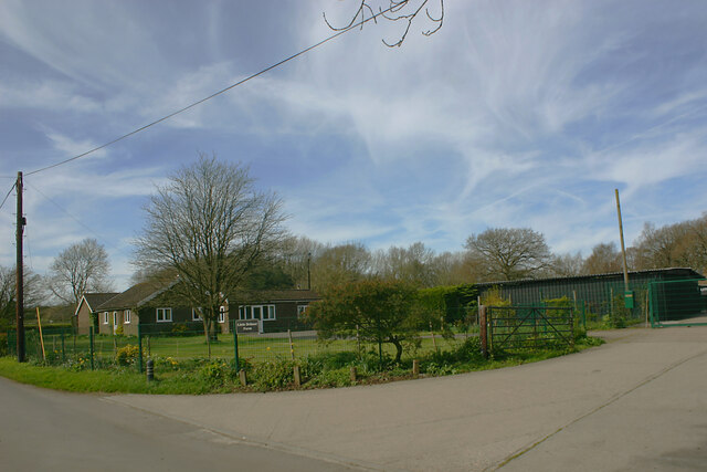
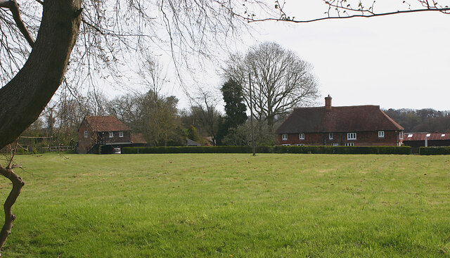
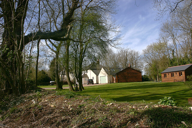
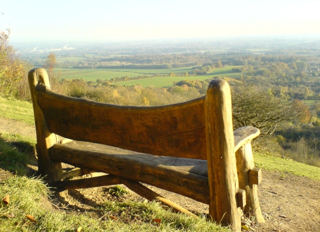
Southfield Shaw is a picturesque area located in the county of Kent, England. Situated within the South Downs National Park, this region is known for its stunning natural beauty, diverse fauna, and rolling hills. The area encompasses both downs and moorland, offering a variety of landscapes for nature enthusiasts and outdoor lovers to explore.
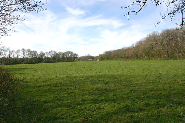
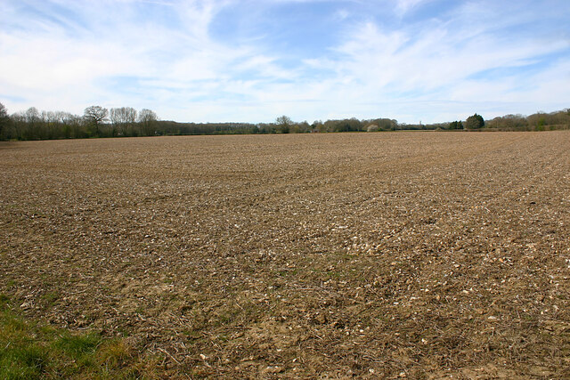
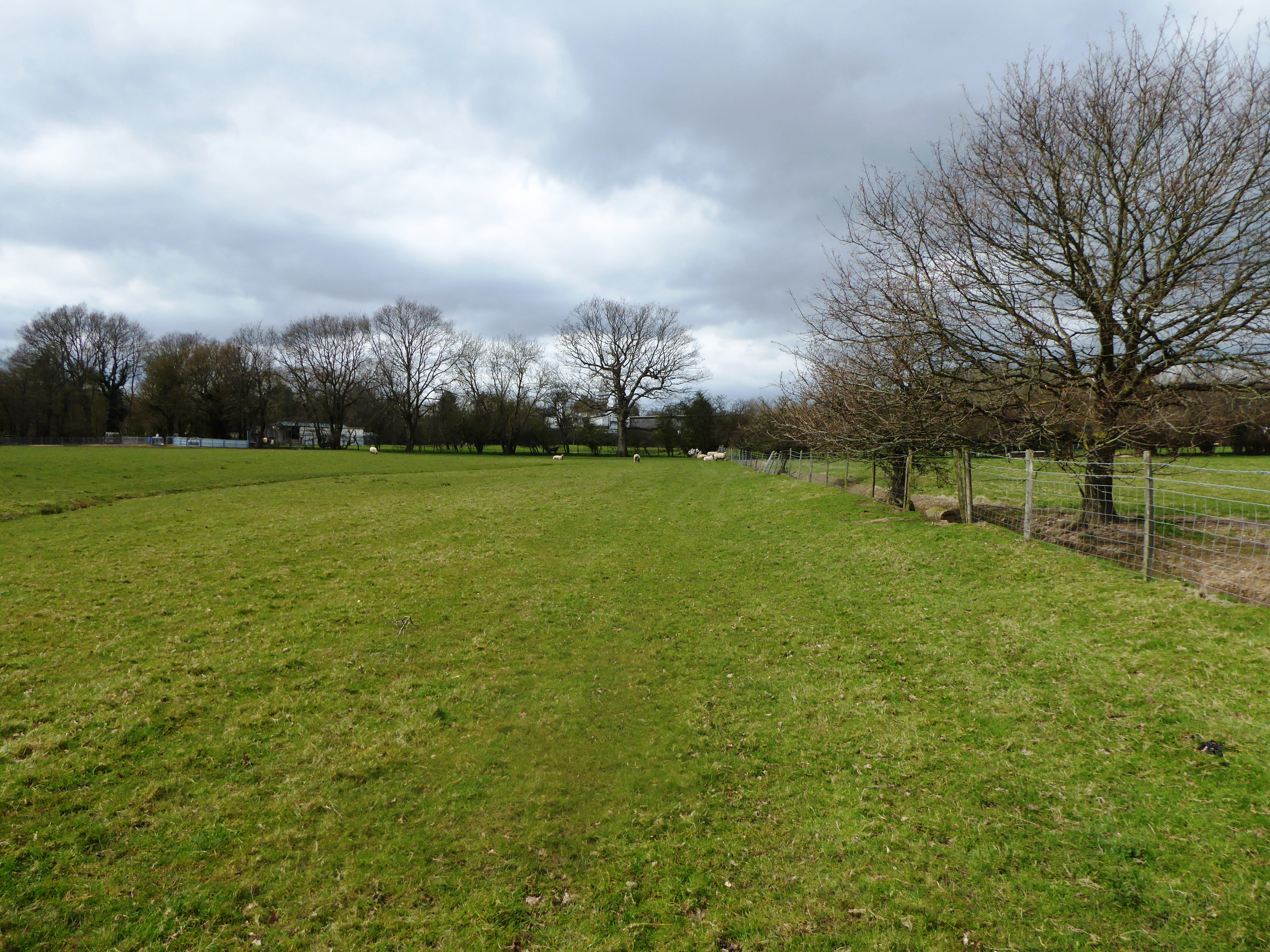
The downs of Southfield Shaw are characterized by their steep slopes and chalk grasslands. These provide a habitat for a range of plant species, including wildflowers such as orchids and cowslips. The downs also offer breathtaking views of the surrounding countryside, with panoramic vistas stretching out for miles.
On the other hand, the moorland in Southfield Shaw presents a different landscape, featuring heather-covered hills and peat bogs. This unique environment supports a diverse array of wildlife, including birds such as skylarks and curlews, as well as small mammals like rabbits and voles.
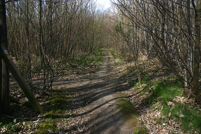
The area is a popular destination for hikers, cyclists, and nature photographers, who are drawn to its tranquil atmosphere and stunning vistas. There are numerous walking trails and cycling routes crisscrossing the region, allowing visitors to immerse themselves in the beauty of the countryside.
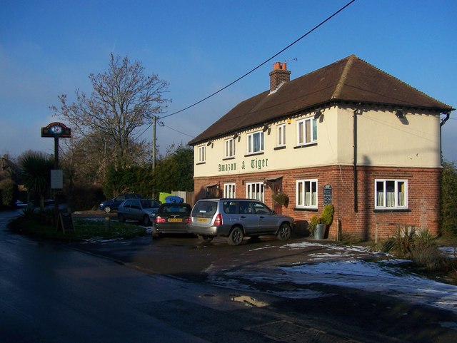
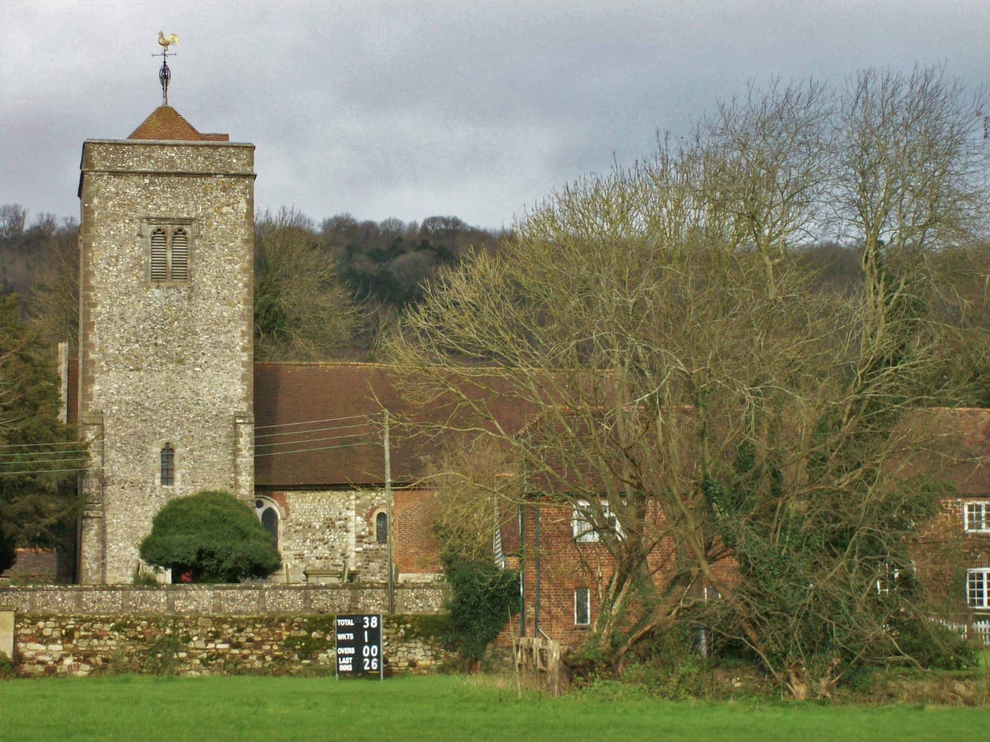
In addition to its natural attractions, Southfield Shaw is also home to a number of charming villages and historic sites. The local communities offer a warm welcome to visitors, with traditional pubs and cozy tearooms providing a taste of rural life.
Overall, Southfield Shaw in Kent is a haven for nature lovers, offering a diverse range of landscapes, wildlife, and outdoor activities. Its combination of downs and moorland makes it a unique and captivating destination within the South Downs National Park.
If you have any feedback on the listing, please let us know in the comments section below.
Southfield Shaw Images
Images are sourced within 2km of 51.334705/0.36215074 or Grid Reference TQ6462. Thanks to Geograph Open Source API. All images are credited.


Southfield Shaw is located at Grid Ref: TQ6462 (Lat: 51.334705, Lng: 0.36215074)
Administrative County: Kent
District: Gravesham
Police Authority: Kent
What 3 Words
///steps.trades.toast. Near Culverstone Green, Kent
Nearby Locations
Related Wikis

Vigo Village
Vigo Village is a village and (as simply Vigo) a civil parish in the Gravesham district in Kent, England. It takes its name from a 15th-century public...
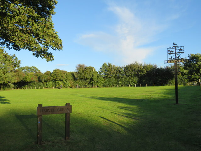
Harvel
Harvel is a village in the civil parish of Meopham in the west of the county of Kent, England. It is sited on the southern edge of the North Downs. The...
Church of St Peter and St Paul, Trottiscliffe
The Church of St Peter and St Paul is an active Anglican parish church in Church Lane, Trottiscliffe, in the Borough of Tonbridge and Malling, Kent, England...
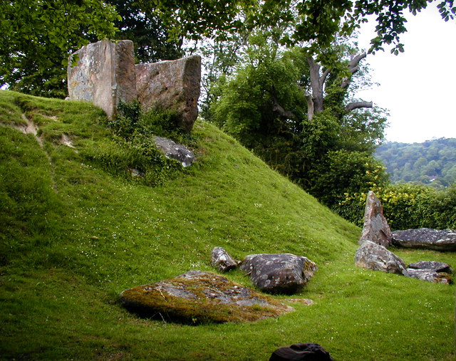
Coldrum Long Barrow
The Coldrum Long Barrow, also known as the Coldrum Stones and the Adscombe Stones, is a chambered long barrow located near the village of Trottiscliffe...
Trottiscliffe
Trottiscliffe ( TROZ-lee) is a village in Kent, England about 2.5 miles (4 km) north west of West Malling. It is often incorrectly spelled Trosley after...

Trosley Country Park
Trosley Country Park is in Trottiscliffe, near Vigo, in Kent, England. Once part of a large woodland estate then after many changes, it was passed to Kent...
Trottiscliffe Meadows
Trottiscliffe Meadows is a 4.8-hectare (12-acre) biological Site of Special Scientific Interest south of Trottiscliffe in Kent. It is a Nature Conservation...

Dode, Kent
Dode (in Old English, Dowde) was a village in England that was wiped out by the Black Death in 1349. All that remains is the deconsecrated church, which...
Nearby Amenities
Located within 500m of 51.334705,0.36215074Have you been to Southfield Shaw?
Leave your review of Southfield Shaw below (or comments, questions and feedback).